Kissimmee River
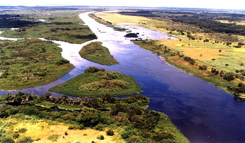
Kissimmee River
- Boat Ramps
- 2
- Access Points
- 2
- Campsites
- 20
The Kissimmee River originates at Lake Kissimmee in central Florida and flows south for approximately 134 miles before emptying into Lake Okeechobee. It forms the primary watershed for the northern Everglades ecosystem. The river's main tributaries include Shingle Creek, which joins near Kissimmee, and several smaller creeks and canals.
Paddling opportunities abound on the Kissimmee River, with the recently restored sections offering some of the most scenic experiences. The upper section from Lake Kissimmee to the S-65D structure provides a 30-40 mile stretch of revitalized river habitat. Downstream, paddlers can continue on the old river channel to Platt's Bluff. The river is primarily flatwater, suitable for novice to intermediate paddlers, though wind and current can present challenges.
The best paddling season is typically November through April when temperatures are milder and rainfall is lower. Summer brings hot weather and afternoon thunderstorms. Water levels are generally consistent year-round due to managed flows.
The restored Kissimmee River ecosystem supports diverse wildlife, including alligators, turtles, wading birds, and fish. Paddlers may spot bald eagles, ospreys, and sandhill cranes. The riverbanks feature cypress trees, live oaks, and native aquatic plants.
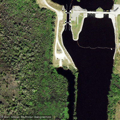
Key landmarks include the series of water control structures (S-65 to S-65E), Lake Kissimmee State Park, and the Kissimmee River Public Use Area. The river passes through a mix of public conservation lands and private ranchlands.
Primary access points include: - Lake Kissimmee State Park (near Lake Wales) - S-65 Lock (southern end of Lake Kissimmee) - Kissimmee River Public Use Area S65D Boat Ramp (near Lorida) - C. Scott Driver Park (near Okeechobee)
The Kissimmee River holds significant historical and ecological importance. Once a meandering 103-mile river, it was channelized in the 1960s for flood control. A major restoration project has since returned flow to much of the historic river channel, revitalizing the ecosystem.
Safety considerations include checking water levels and weather forecasts, being prepared for limited services in remote areas, and watching for alligators. Paddlers should be aware of water control structures and follow all posted regulations.
Multi-day trips are possible, with primitive camping available at designated sites along the river. The full 76.5-mile Kissimmee River Blueway offers an extended paddling adventure for those seeking a more immersive experience.
Water access, boat ramps & amenities
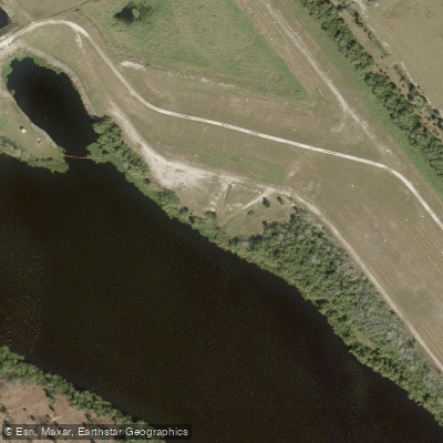
Learn how to get on Kissimmee River. Uncover great paddling access points, boat ramps, and all the facilities you need for an unforgettable day on the water. Some locations shown may border or include private property. Always check property boundaries and applicable regulations before visiting. PaddleWays's Public & Private Land layer can help you plan your access with confidence.
Paddle smarter with real-time insights
Whether you're en route and conditions shift or you're looking for the best spot based on current flows, we enable you to make informed decisions on the fly.








Find Places to Paddle

Over 400,000 Places to Paddle
Every user gets free access to launch points, boat ramps, and public property parcels.


Water and weather conditions (10 day forecast)
See the best times to paddle Kissimmee River and check the forecast before you go.
KISSIMMEE RIVER BELOW S-69 NR BASINGER, FL
All Flow Stations
Paddling near Kissimmee River

Saint Johns River
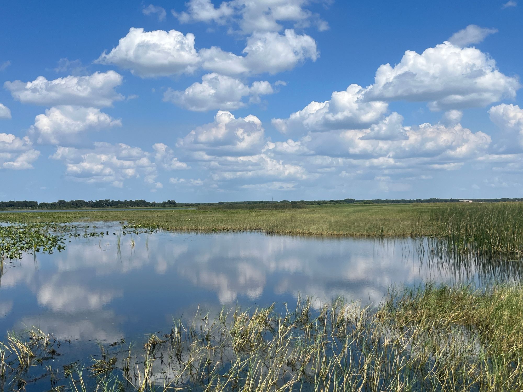
Lake Tohopekaliga
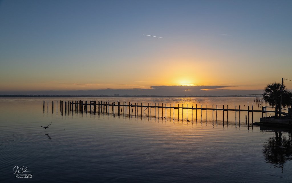
Indian River Lagoon
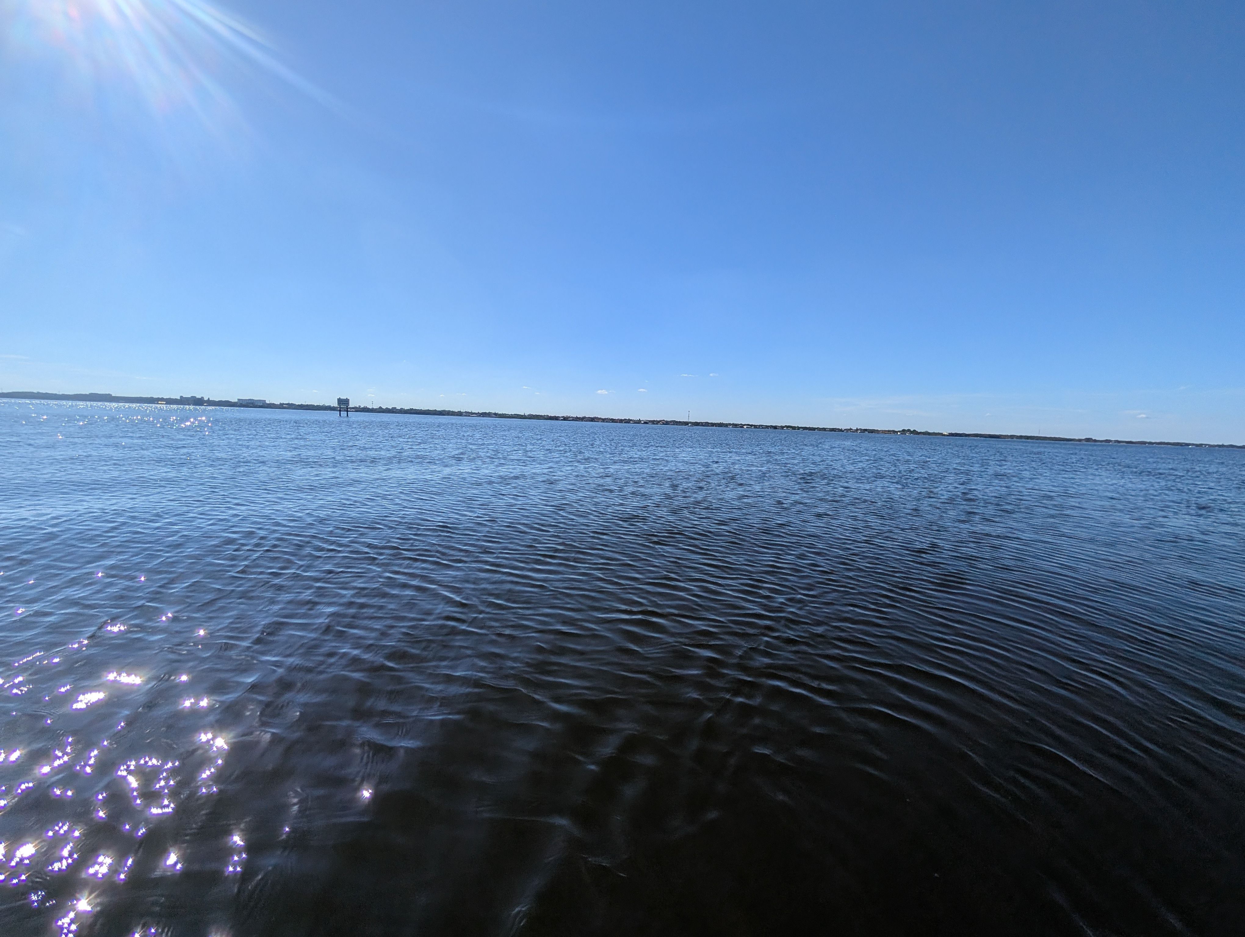
Indian River
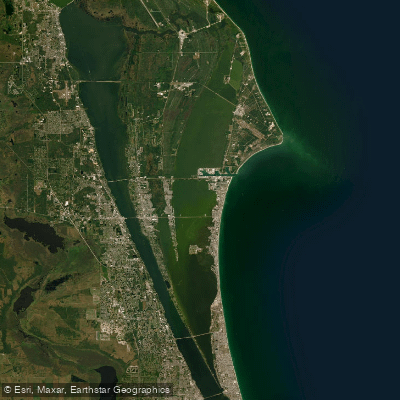
Banana River
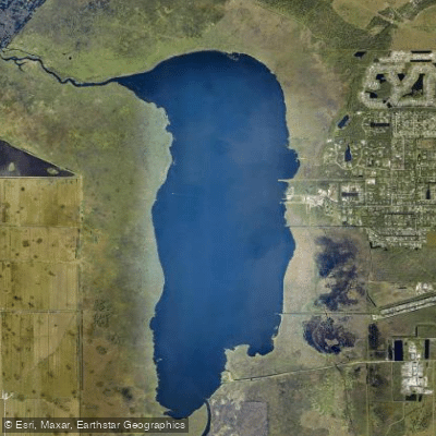
Lake Washington
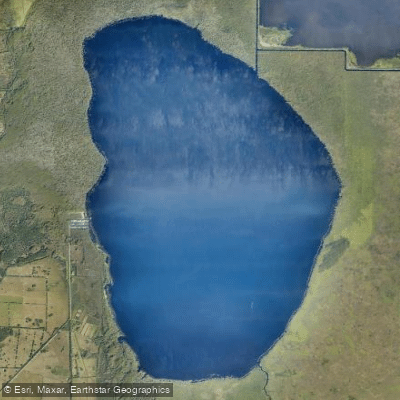
Blue Cypress Lake
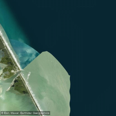
Sebastian Inlet
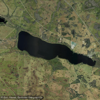
Lake Marian
Explore Florida waters
Top paddling waters
Popular Cities
Loading popular cities...
Explore near Kissimmee River
Access points
Nearby waters
More in Florida

Smarter Paddling Starts in the App.
Paddleways gives you everything you need to plan smarter, paddle better, and own every trip from first launch to takeout.