Lake Beresford
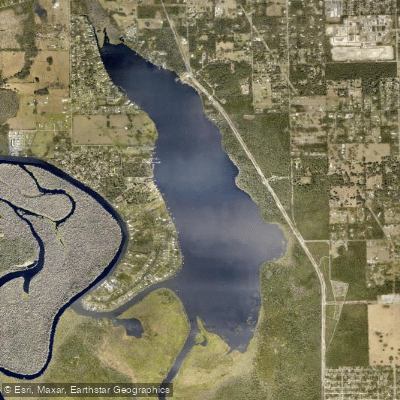
Lake Beresford
- Boat Ramps
- 3
- Access Points
- 3
- Campsites
- 5
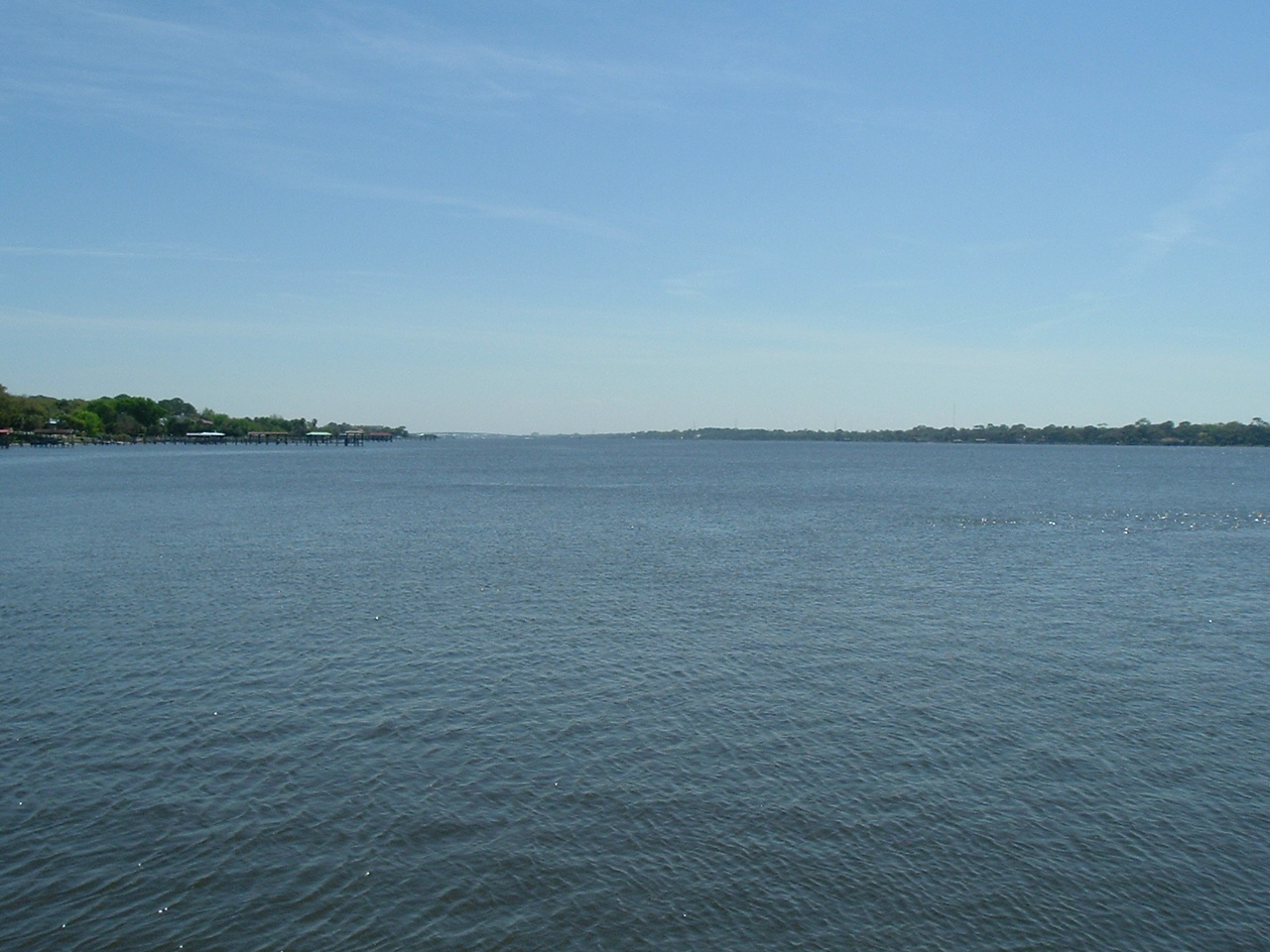
Lake Beresford is a wide section of the St. Johns River in Volusia County, Florida, offering paddlers a scenic and wildlife-rich experience. The lake is part of a 10-mile paddling trail that includes the St. Johns River, Hontoon Dead River, and Snake Creek. Access points include the French Avenue Boat Ramp and the Hontoon Island State Park boat ramp. A third launch site at Lake Beresford Park is planned for future development.
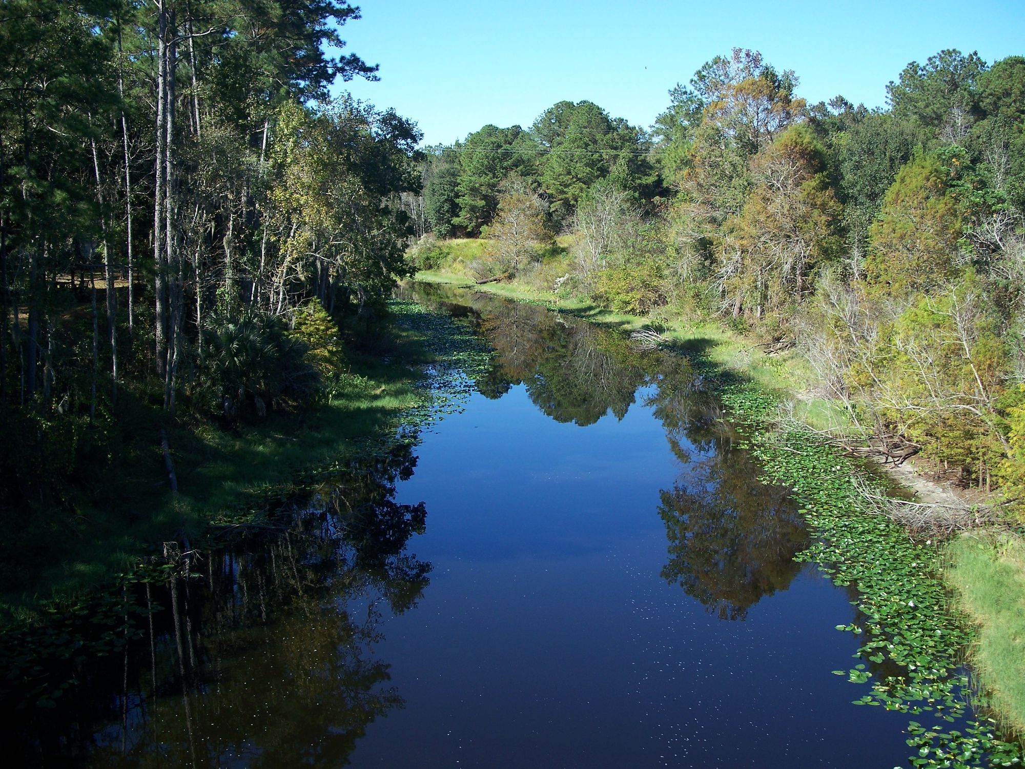
The shoreline is largely undeveloped, featuring diverse vegetation including marsh, cypress swamp, and hardwood hammock. Paddlers can expect to see abundant wildlife, with turtles sunning on logs, ibis foraging among cypress knees, and various bird species such as woodstorks, great egrets, and kingfishers. Alligators are present in the area, so caution is advised.
Lake Beresford connects to the Hontoon Dead River, which offers a slight current and narrower passages. Some sections of the paddling trail may require navigating through mats of water hyacinths. The area has historical significance, with Indian shell mounds and artifacts found on nearby Hontoon Island.
Facilities are available at Hontoon Island State Park, including a museum, picnic areas, and camping options. The Bartram Gardens & Trail, located along the western shoreline of Lake Beresford, provides additional amenities such as a fishing pier, canoe and kayak launch, and interpretive trails.
Summer allows for exploration of the entire paddling trail, while winter brings restrictions in some areas due to manatee protection. The water temperature in nearby Blue Spring Run remains a constant 72 degrees year-round, attracting manatees in the colder months.
Paddlers should be aware of potential hazards such as submerged logs, narrow passages, and wildlife. A paddling map is available from Volusia County to help navigate the area. The lake and surrounding waterways offer a blend of natural beauty, wildlife viewing, and historical interest for paddlers to explore.
Water access, boat ramps & amenities
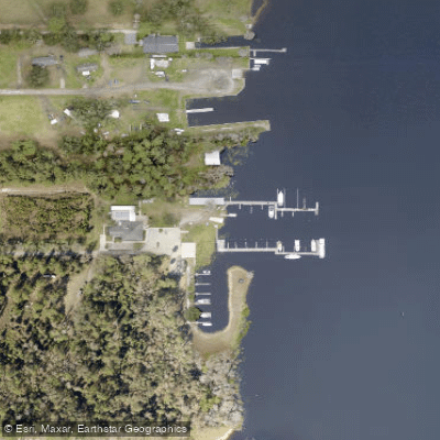
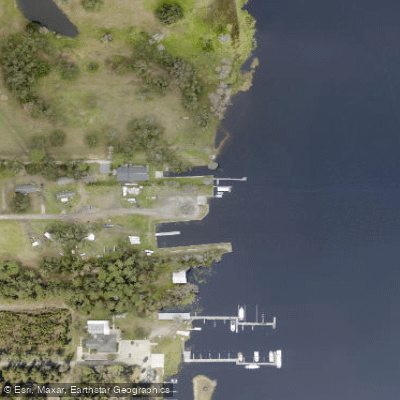
Learn how to get on Lake Beresford. Uncover great paddling access points, boat ramps, and all the facilities you need for an unforgettable day on the water. Some locations shown may border or include private property. Always check property boundaries and applicable regulations before visiting. PaddleWays's Public & Private Land layer can help you plan your access with confidence.
Paddle smarter with real-time insights
Whether you're en route and conditions shift or you're looking for the best spot based on current flows, we enable you to make informed decisions on the fly.








Find Places to Paddle

Over 400,000 Places to Paddle
Every user gets free access to launch points, boat ramps, and public property parcels.


Water and weather conditions (10 day forecast)
See the best times to paddle Lake Beresford and check the forecast before you go.
No forecast data available.
Paddling near Lake Beresford

Explore Florida waters
Top paddling waters
Popular Cities
Loading popular cities...
Explore near Lake Beresford
Access points
Nearby waters
More in Florida

Smarter Paddling Starts in the App.
Paddleways gives you everything you need to plan smarter, paddle better, and own every trip from first launch to takeout.