Little Sarasota Bay
- Saltwater
- Bay
Little Sarasota Bay
- Saltwater
- Bay
- Sq. miles
- 3.7
- Boat Ramps
- 9
- Access Points
- 0
- Campsites
- 2
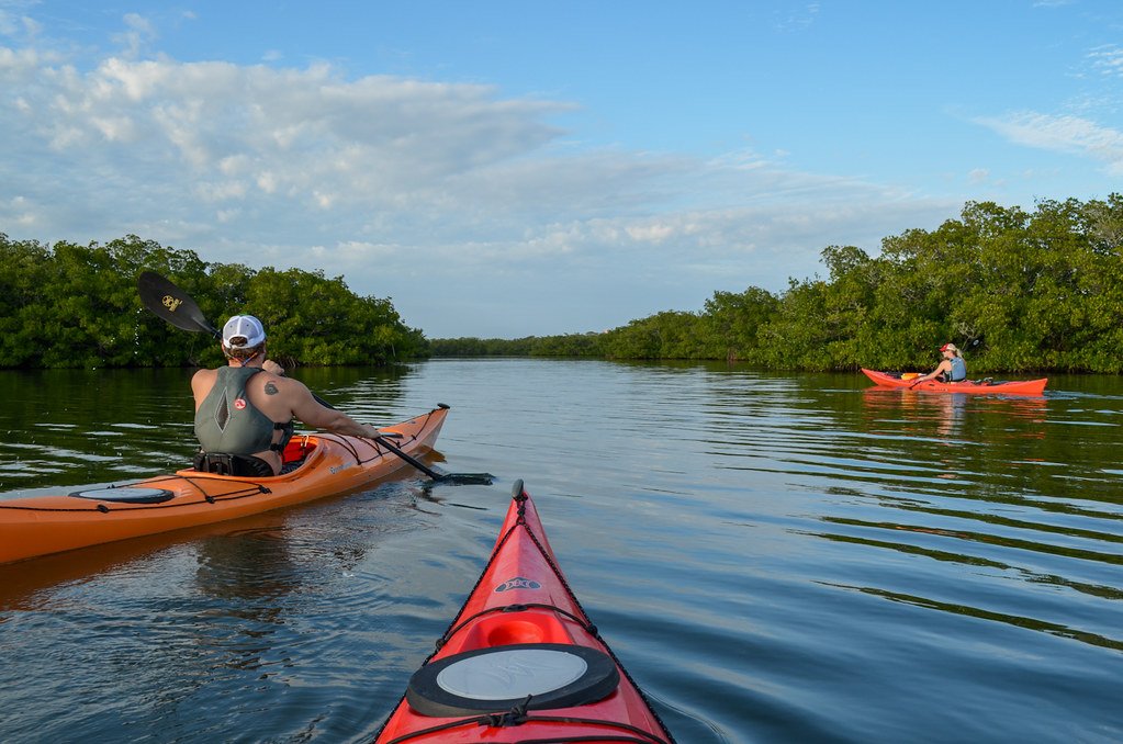
Little Sarasota Bay is a slender, 1,828-acre saltwater bay in Sarasota County, central to the communities of Sarasota, Osprey, Siesta Key, and Casey Key. The primary public launch for paddlers is the Turtle Beach Public Boat Ramp at the southern end of Siesta Key, providing direct access to the bay's calm backwaters. From this launch, paddlers can quickly reach the Jim Neville Marine Preserve, a 35-acre uninhabited island featuring mangrove shorelines teeming with marine life and birds like pelicans, egrets, and herons. A marked paddling trail through the preserve forms an approximately one-mile loop. The historic Midnight Pass, located at the southern tip of Siesta Key, naturally reopened in late 2024. Paddlers should be aware of strong tides and currents consistently through this reopened pass, which connects the bay to the Gulf of Mexico. The bay's eastern shoreline features extensive, shallow grass flats, and the waters are protected by its designation as an Outstanding Florida Water. Wildlife encounters with dolphins and manatees are common. The overall paddling experience is characterized by sheltered waters ideal for kayaks, canoes, and stand-up paddleboards, with a focus on wildlife observation in a mangrove and seagrass ecosystem. Other access points include CB's Saltwater Outfitters in Osprey, near Blackburn Point, which offers rentals and guided tours. Due to the tidal influence, paddling conditions are best during moving tides, and paddlers should plan routes considering the strong currents at Midnight Pass.
Water access, boat ramps & amenities
Learn how to get on Little Sarasota Bay. Uncover great paddling access points, boat ramps, and all the facilities you need for an unforgettable day on the water. Some locations shown may border or include private property. Always check property boundaries and applicable regulations before visiting. PaddleWays's Public & Private Land layer can help you plan your access with confidence.
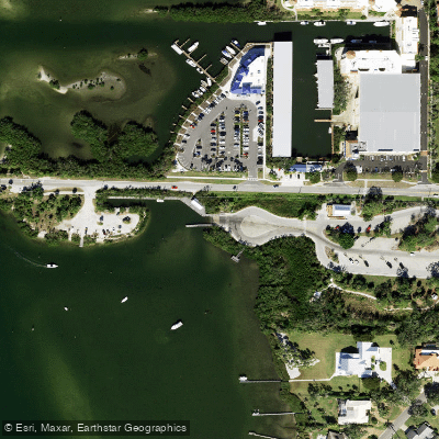
Blackburn Point Park East Boat Ramp
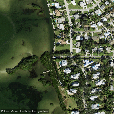
Wharf Road Park Paddlecraft Launch
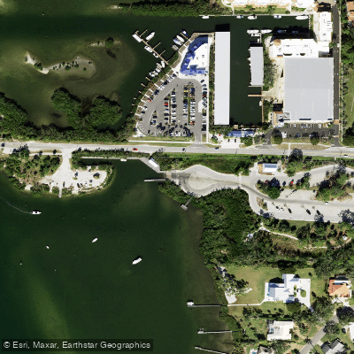
Blackburn Point Park Motorized Boat Ramp
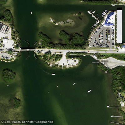
Blackburn Point Park Kayak Beach
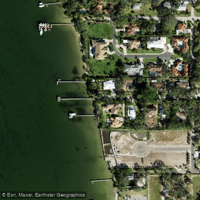
Osprey Fishing Pier Kayak Launch
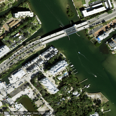
Christopher Wheeler Park Kayak Access
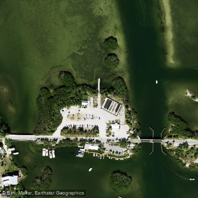
Blackburn Point Park Rowing Facility
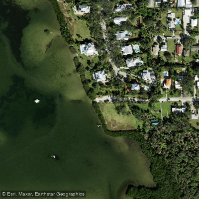
Vamo Boat Ramp
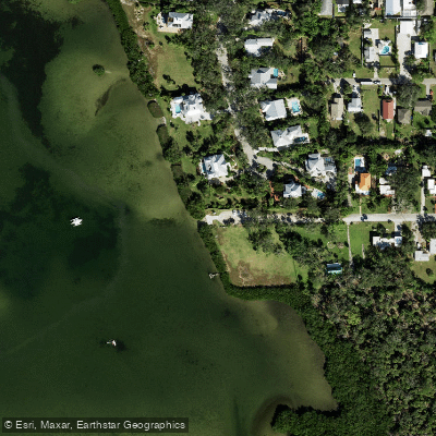
Vamo Park Paddlecraft Ramp
Paddle smarter with real-time insights
Whether you're en route and conditions shift or you're looking for the best spot based on current flows, we enable you to make informed decisions on the fly.








Find Places to Paddle

Over 400,000 Places to Paddle
Every user gets free access to launch points, boat ramps, and public property parcels.


Tides, wind & water conditions (10 day forecast)
On open water, wind and tide matter as much as the weather. See the best times to paddle Little Sarasota Bay and check the marine forecast before you launch.
Loading tide predictions…
Paddling near Little Sarasota Bay
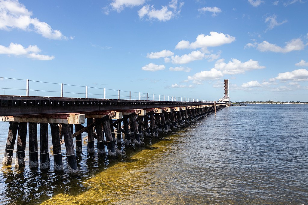
Manatee River
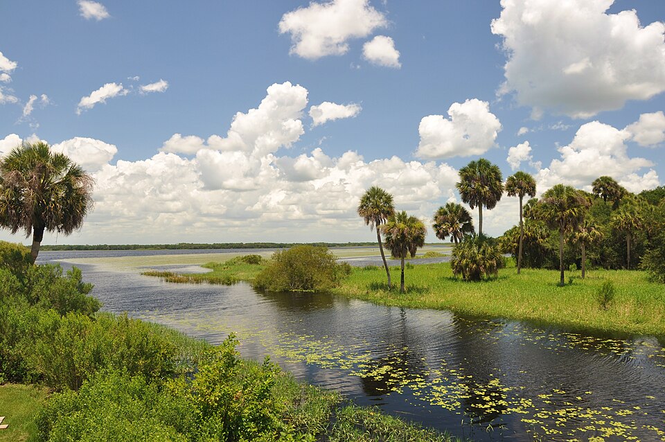
Myakka River
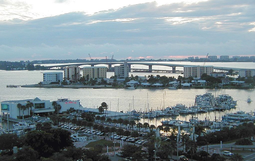
Sarasota Bay
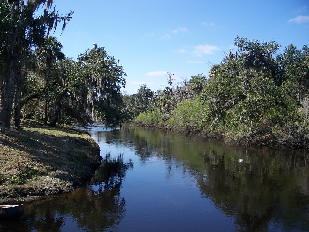
Peace River
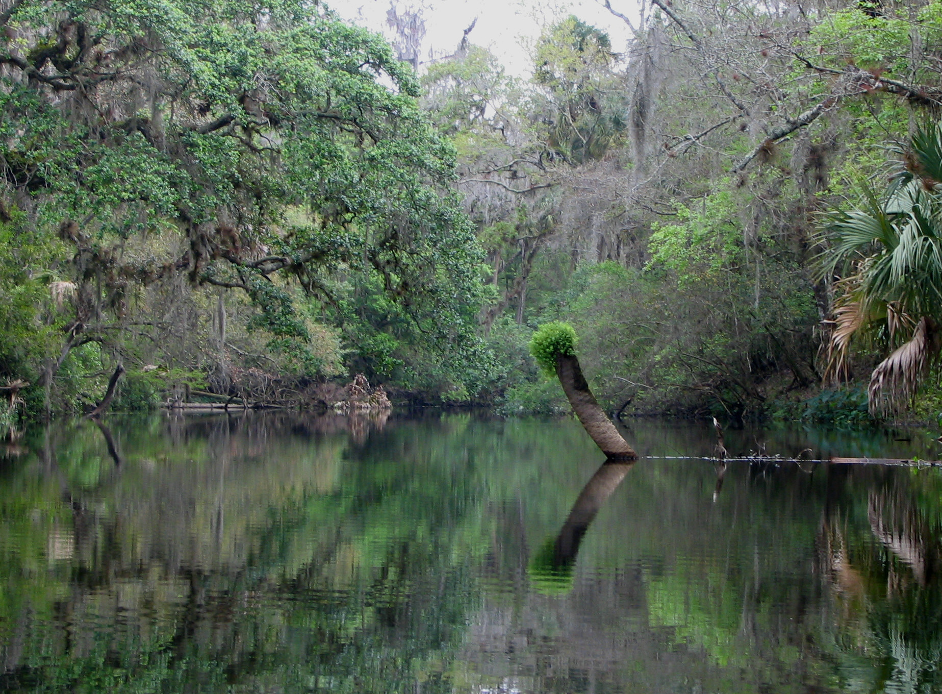
Hillsborough River
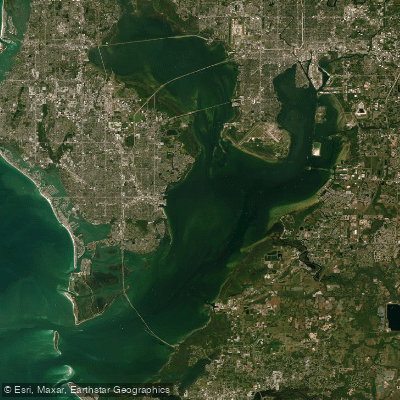
Tampa Bay
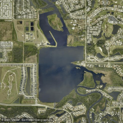
Ward Lake
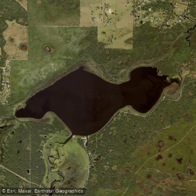
Lake Myakka
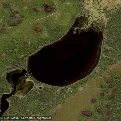
Lower Myakka Lake
Explore Florida waters
Top paddling waters
Popular Cities
Loading popular cities...
Explore near Little Sarasota Bay
Access points
- Blackburn Point Park East Boat Ramp
- Wharf Road Park Paddlecraft Launch
- Blackburn Point Park Motorized Boat Ramp
- Blackburn Point Park Kayak Beach
- Osprey Fishing Pier Kayak Launch
- Christopher Wheeler Park Kayak Access
- Blackburn Point Park Rowing Facility
- Vamo Boat Ramp
- Vamo Park Paddlecraft Ramp
- North Creek Bridge
- Catfish Creek Bridge
- Phillippi Creek Bridge
- All 36 spots
Nearby waters
More in Florida

Smarter Paddling Starts in the App.
Paddleways gives you everything you need to plan smarter, paddle better, and own every trip from first launch to takeout.