Sarasota Bay
- Saltwater
- Bay
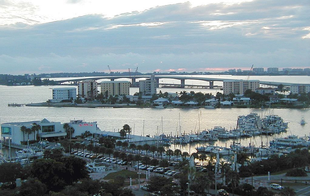
Sarasota Bay
- Saltwater
- Bay
- Sq. miles
- 33
- Boat Ramps
- 12
- Access Points
- 1
- Campsites
- 4
Sarasota Bay is a coastal saltwater bay on Florida's Gulf Coast, offering paddlers a mix of open bay waters and intricate mangrove ecosystems. The bay is characterized by emerald-colored water, shallow grass flats, and a network of mangrove tunnels, particularly around Lido Key and within the Jim Neville Marine Preserve near Siesta Key. Several key public access points provide launches suitable for kayaks and paddleboards. These include Ted Sperling Park on Lido Key, Turtle Beach on Siesta Key, and The Bay Park, which features a new ADA-accessible launch. The Jim Neville Marine Preserve, accessible from Turtle Beach, encompasses 35 acres of uninhabited mangrove islands teeming with birdlife. Paddlers frequently encounter dolphins and manatees, especially in the quieter backwaters and mangrove areas. The bay is subject to tidal currents, and paddling routes often involve navigating both the open Intracoastal Waterway and protected creeks. Due to its coastal nature, wind exposure can be significant on the open bay, making conditions calmer in the lee of islands and within mangrove tunnels. Boat traffic is present, particularly in the main channels, requiring awareness when crossing. Guided tours and rentals are available from multiple local outfitters, with tours focusing on the mangrove tunnels and wildlife viewing. The Bay Park also offers free guided tours on a seasonal basis. Paddling is promoted year-round, with organized events such as cleanup paddles and full moon paddles held throughout the year.
Water access, boat ramps & amenities
Learn how to get on Sarasota Bay. Uncover great paddling access points, boat ramps, and all the facilities you need for an unforgettable day on the water. Some locations shown may border or include private property. Always check property boundaries and applicable regulations before visiting. PaddleWays's Public & Private Land layer can help you plan your access with confidence.
Paddle smarter with real-time insights
Whether you're en route and conditions shift or you're looking for the best spot based on current flows, we enable you to make informed decisions on the fly.








Find Places to Paddle

Over 400,000 Places to Paddle
Every user gets free access to launch points, boat ramps, and public property parcels.


Tides, wind & water conditions (10 day forecast)
On open water, wind and tide matter as much as the weather. See the best times to paddle Sarasota Bay and check the marine forecast before you launch.
Loading tide predictions…
Paddling near Sarasota Bay
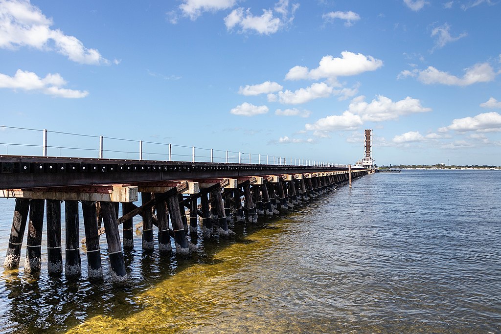
Manatee River
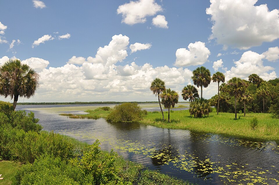
Myakka River
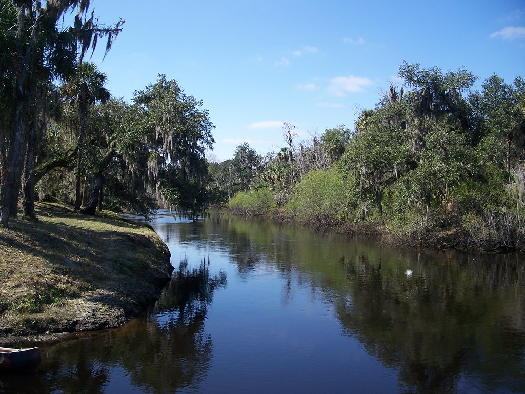
Peace River
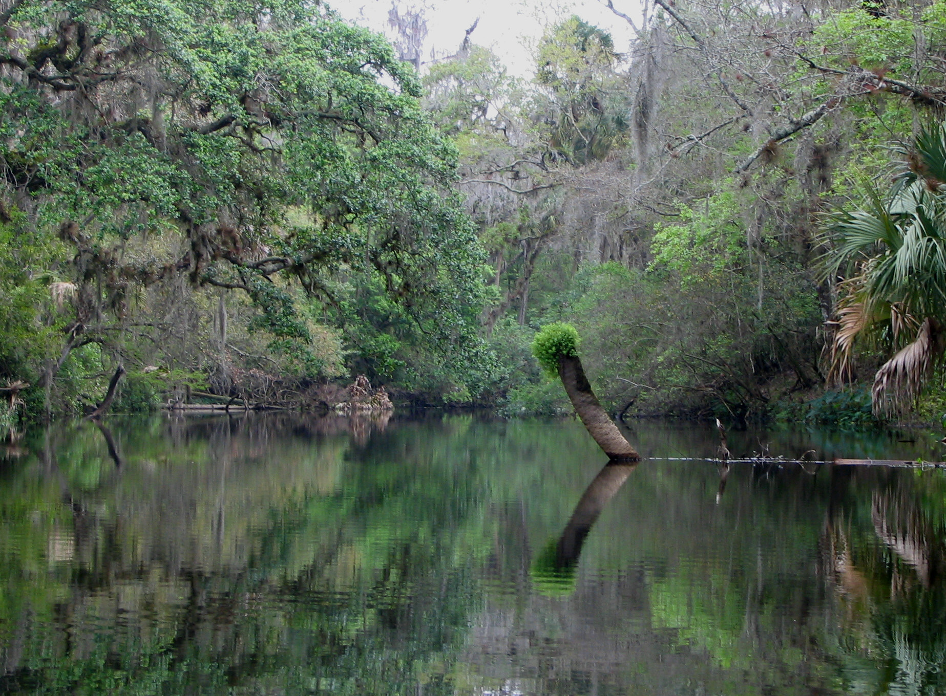
Hillsborough River
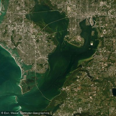
Tampa Bay
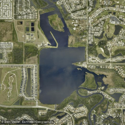
Ward Lake
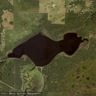
Lake Myakka
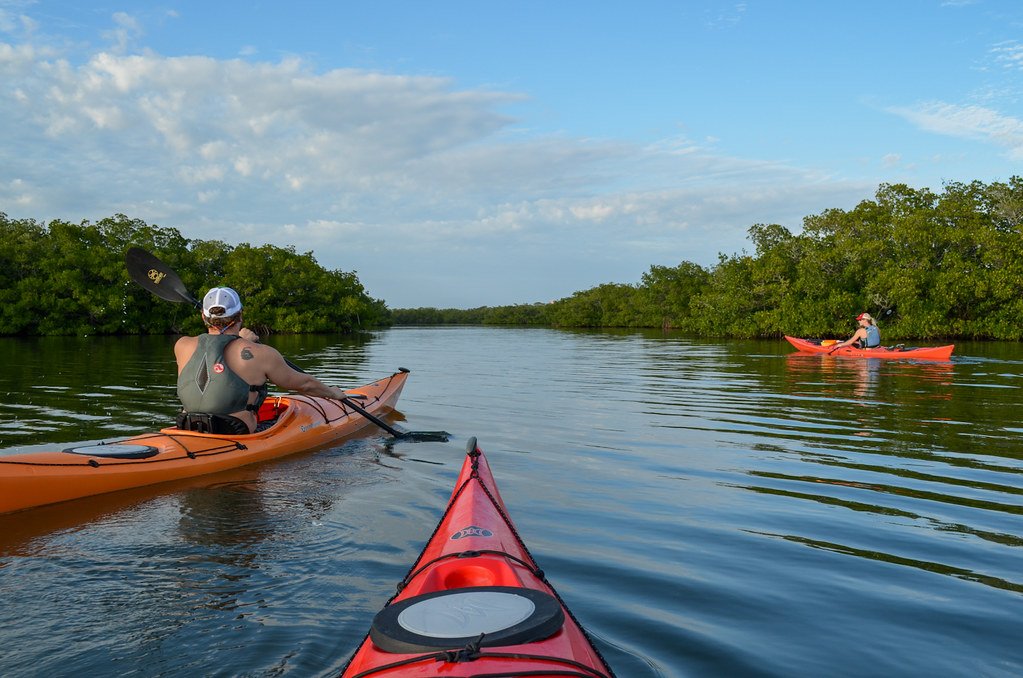
Little Sarasota Bay
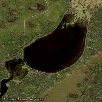
Lower Myakka Lake
Explore Florida waters
Top paddling waters
Popular Cities
Loading popular cities...
Explore near Sarasota Bay
Access points
- Longboat Key Bayfront Park Recreation Center - Kayak Launch
- Coquina Bayside Park South Boat Ramp
- Linley Street Boat Launch (No Trailer Parking)
- Ken Thompson Park Boat Ramp
- Ted Sperling South Lido Beach County Park - Kayak Launch
- Sarasota Centennial Park Boat Ramp
- Ken Thompson Park Kayak Beach
- Ken Thompson Park Boat Ramp
- Coquina Beach Boat Ramp North
- Coquina Beach Boat Ramp South
- Sarasota Centennial Park
- Bowlees Creek Bridge
- All 52 spots
Nearby waters
More in Florida

Smarter Paddling Starts in the App.
Paddleways gives you everything you need to plan smarter, paddle better, and own every trip from first launch to takeout.