Max Hoeck Creek
- Saltwater
- Bay
Max Hoeck Creek
- Saltwater
- Bay
- Sq. miles
- 0.7
- Boat Ramps
- 0
- Access Points
- 0
- Campsites
- 0
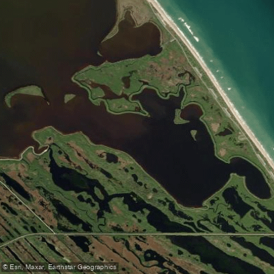
Max Hoeck Creek is the southern terminus of the extensive Mosquito Lagoon system, located within the boundary of the Kennedy Space Center and Canaveral National Seashore in Brevard County. This saltwater creek and the surrounding lagoon area offer a remote, wild, and unpredictable paddling environment characterized by shallow seagrass flats, mangrove shorelines, and numerous small islands and shoals. The region is noted for its primitive feel and significant exposure to the elements, with wind being the primary factor dictating paddling conditions. Specifically, the Max Hoeck Creek area along the lagoon's south shore is recommended as a paddling destination when strong winds are from the south, as it provides some shelter. The main access point for paddlers is the Eddy Creek launch on the Canaveral National Seashore, which involves a one to two-mile paddle west to reach the open waters of Max Hoeck Creek and southern Mosquito Lagoon. A fee is required to enter the national seashore. Parking at remote lagoon areas has historically seen vehicle break-ins, so using the established Eddy Creek launch is a common and more secure choice, though parking at alternatives like Barris Cove can fill quickly on fair-weather days. The area is exposed to open water fetch across the lagoon, making conditions changeable, and afternoon thunderstorms with dangerous lightning are a known seasonal hazard. A unique feature for paddlers is the view of the Kennedy Space Center launch pads from the water. The historical significance of the area includes its use as a portage route for indigenous people and early explorers between the lagoon and the Atlantic Ocean. The landscape is dominated by mangrove forests, which mark their northern range limit here, and the waters support extensive seagrass beds. Mosquitoes can be extremely aggressive outside of the winter months, effectively limiting the ideal paddling and hiking season. Boaters are advised to carry a GPS when venturing past marked channels due to the featureless, expansive nature of the lagoon.
Water access, boat ramps & amenities
Learn how to get on Max Hoeck Creek. Uncover great paddling access points, boat ramps, and all the facilities you need for an unforgettable day on the water. Some locations shown may border or include private property. Always check property boundaries and applicable regulations before visiting. PaddleWays's Public & Private Land layer can help you plan your access with confidence.
Paddle smarter with real-time insights
Whether you're en route and conditions shift or you're looking for the best spot based on current flows, we enable you to make informed decisions on the fly.








Find Places to Paddle

Over 400,000 Places to Paddle
Every user gets free access to launch points, boat ramps, and public property parcels.


Tides, wind & water conditions (10 day forecast)
On open water, wind and tide matter as much as the weather. See the best times to paddle Max Hoeck Creek and check the marine forecast before you launch.
Loading tide predictions…
Paddling near Max Hoeck Creek

Saint Johns River
Lake Tohopekaliga
Indian River Lagoon
Halifax River
Fox Lake
Mosquito Lagoon
Indian River
South Lake
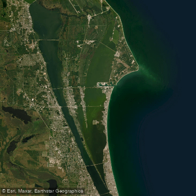
Banana River
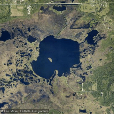
Salt Lake
Explore Florida waters
Top paddling waters
Popular Cities
Loading popular cities...
Explore near Max Hoeck Creek

Smarter Paddling Starts in the App.
Paddleways gives you everything you need to plan smarter, paddle better, and own every trip from first launch to takeout.