McKay Bay
- Saltwater
- Bay
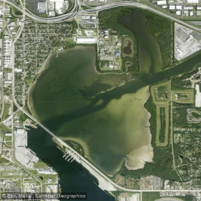
McKay Bay
- Saltwater
- Bay
- Sq. miles
- 1.5
- Boat Ramps
- 0
- Access Points
- 0
- Campsites
- 0
McKay Bay is the northeastern corner of Tampa Bay, a shallow, undredged saltwater bay in Tampa, Florida. It is characterized by extensive mudflats, mangrove forests, and salt marsh wetlands, creating a significant habitat for migratory birds and wading species, which can be observed from an observation tower and boardwalk at the McKay Bay Nature Park. The bay is a man-made feature, historically used as a cooling area for a city incinerator, and is now flanked by both a nature preserve and industrial areas, including a refuse-fuelled power plant. For paddlers, primary access is provided at the McKay Bay Shore Launch and the McKay Bay Nature Park, which features a kayak launch, ample parking, and picnic tables. The park is open from sunrise to sunset. Paddling here is a tidal activity, with a typical tidal range of about one meter; low tides expose wide mudflats, potentially limiting navigation in the shallow bay, while high tide provides enough depth for exploration. The coastline is generally protected, but paddlers should be aware of potential boat traffic when connecting to the broader Tampa Bay system via channels like the East Bay Channel. A significant safety consideration is water quality. McKay Bay is a known "hot spot" for legacy toxic contaminants like DDT, chlordane, PCBs, and heavy metals in the sediments. While the impact on paddling is indirect, the presence of these pollutants is a notable characteristic of the area. The aesthetic is a mix of lush, natural mangrove shoreline and urban industrial backdrop, offering a secluded wildlife observation experience within the city. The best times to paddle are likely during cooler morning hours to avoid heat and to coordinate with favorable high tides for easier access through the shallow areas.
Water access, boat ramps & amenities
Learn how to get on McKay Bay. Uncover great paddling access points, boat ramps, and all the facilities you need for an unforgettable day on the water. Some locations shown may border or include private property. Always check property boundaries and applicable regulations before visiting. PaddleWays's Public & Private Land layer can help you plan your access with confidence.
Paddle smarter with real-time insights
Whether you're en route and conditions shift or you're looking for the best spot based on current flows, we enable you to make informed decisions on the fly.








Find Places to Paddle

Over 400,000 Places to Paddle
Every user gets free access to launch points, boat ramps, and public property parcels.


Tides, wind & water conditions (10 day forecast)
On open water, wind and tide matter as much as the weather. See the best times to paddle McKay Bay and check the marine forecast before you launch.
Loading tide predictions…
Paddling near McKay Bay
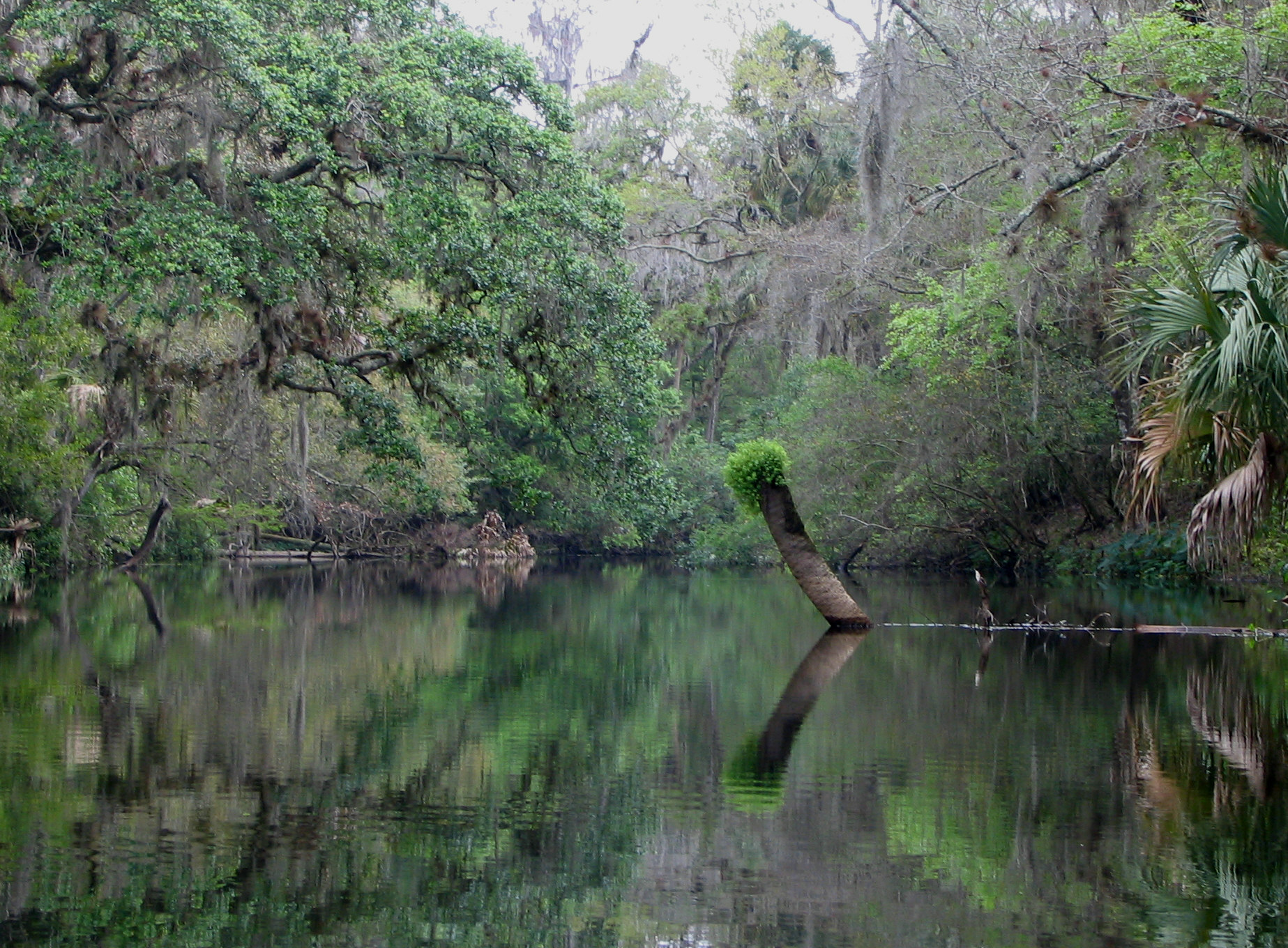
Hillsborough River
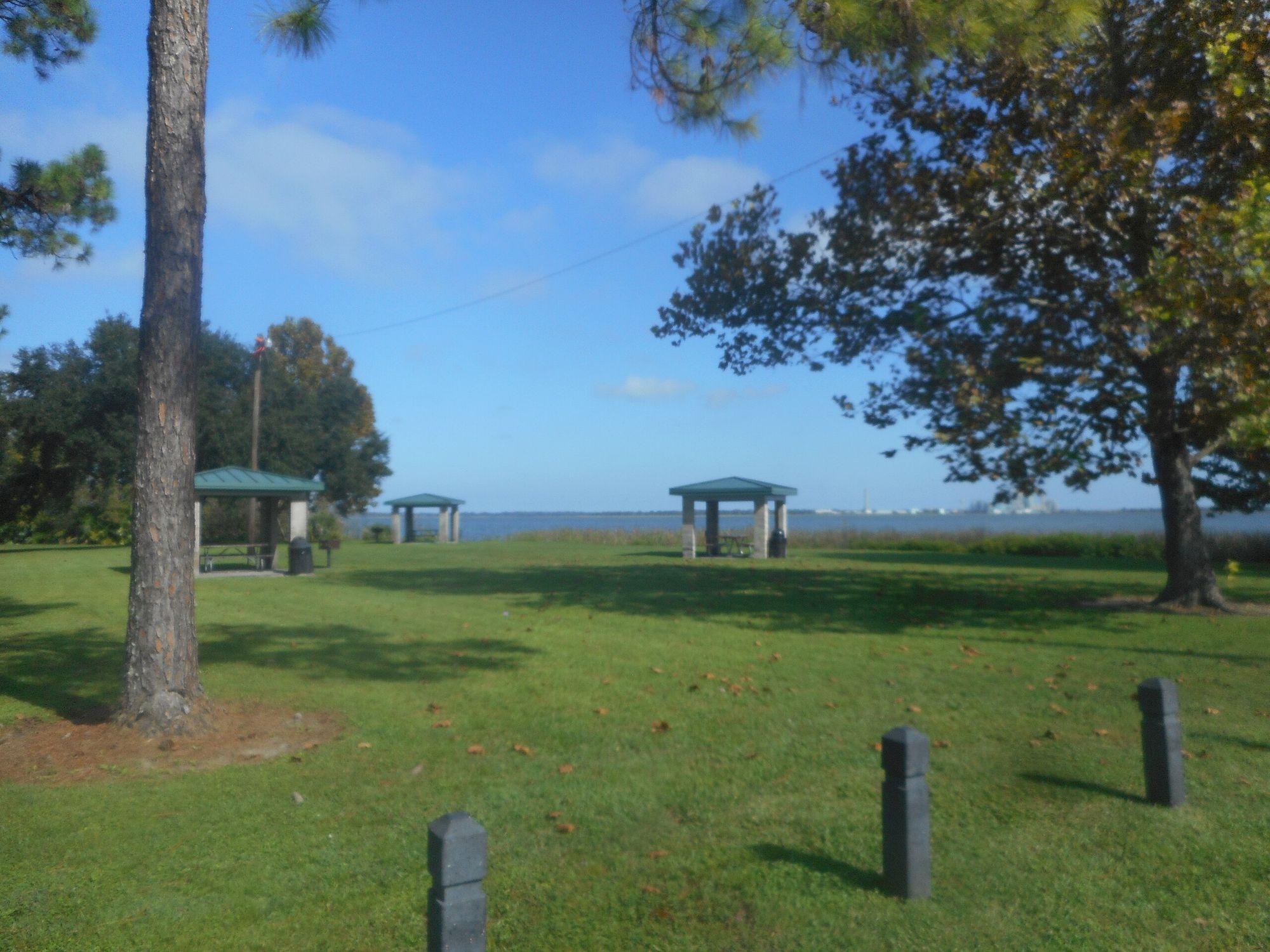
Lake Parker
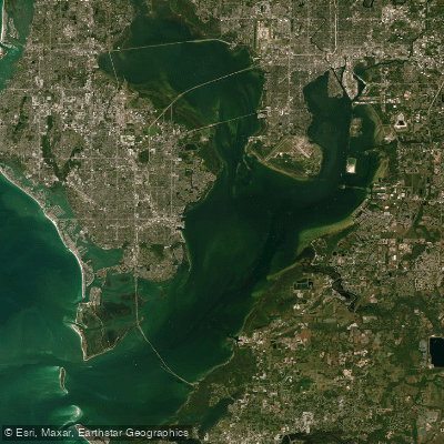
Tampa Bay
Manatee River
Withlacoochee River
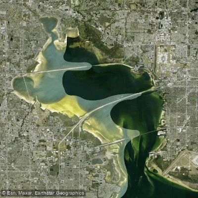
Old Tampa Bay
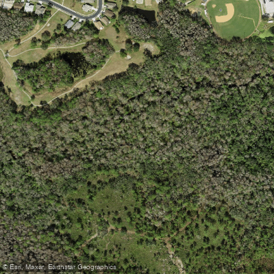
Pithlachascotee River
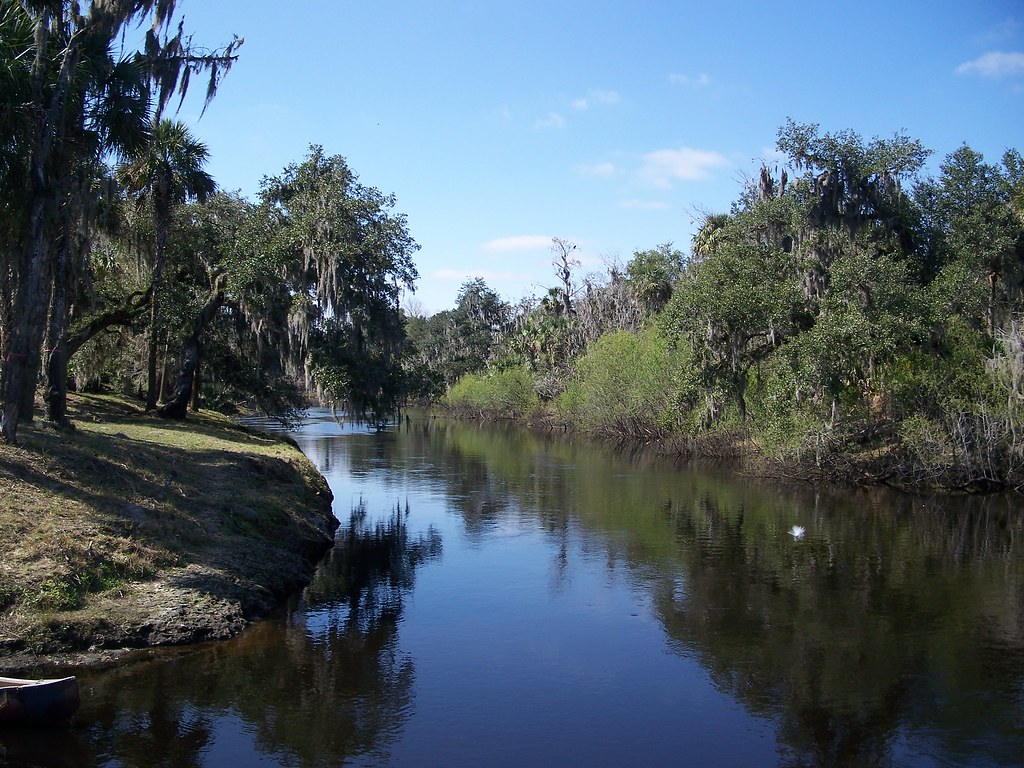
Peace River
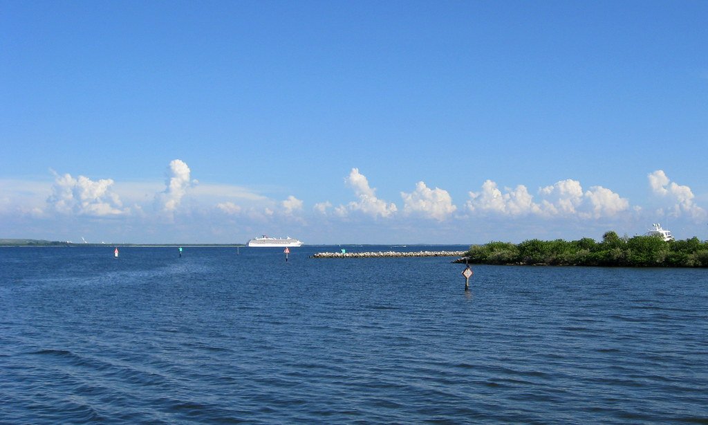
Hillsborough Bay
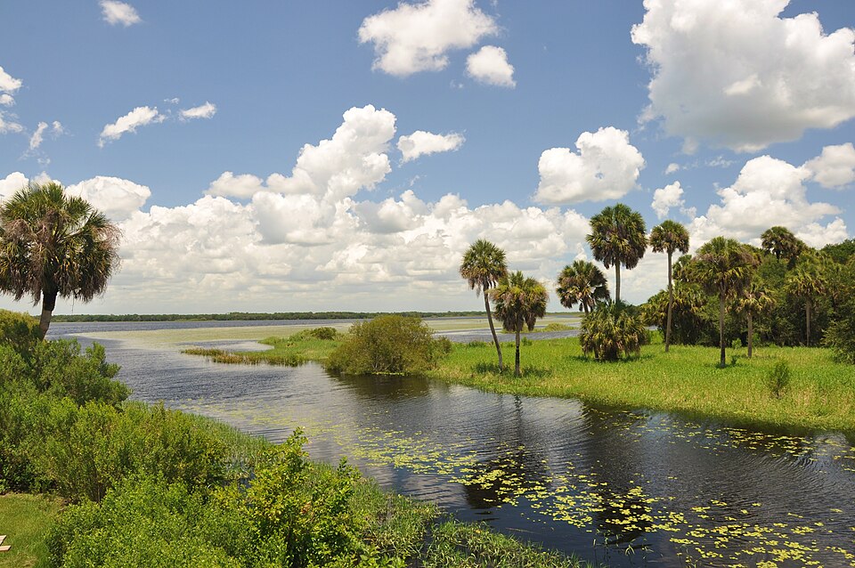
Myakka River
Explore Florida waters
Top paddling waters
Popular Cities
Loading popular cities...
Explore near McKay Bay
Access points
Nearby waters
More in Florida

Smarter Paddling Starts in the App.
Paddleways gives you everything you need to plan smarter, paddle better, and own every trip from first launch to takeout.