Pablo Creek
- Saltwater
- Tidal creek
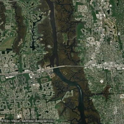
Pablo Creek
- Saltwater
- Tidal creek
- Sq. miles
- 1.2
- Boat Ramps
- 2
- Access Points
- 0
- Campsites
- 2
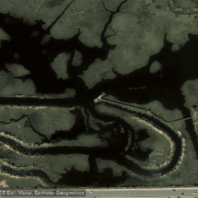
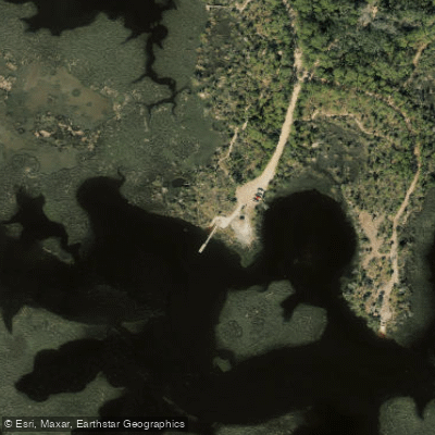
Pablo Creek is a tidal estuary and salt marsh ecosystem located along the Intracoastal Waterway near Jacksonville Beach, Florida. The primary public access point for paddlers is the canoe and kayak landing pier at Cradle Creek Preserve, which offers panoramic views of the Pablo Creek Estuary. Another launch site is the Castaway Preserve Ramp. The waterway is directly connected to the Intracoastal Waterway, East Chicopit Bay, Sherman Creek, and Boathouse Creek, allowing for varied trip routes from a single launch. Paddling conditions are dominated by tidal forces. At the Pablo Creek Entrance, the tidal range can exceed 4.8 feet, with currents described as swift. Planning a trip to paddle with the tidal current is strongly advised for ease and safety. The area is exposed to wind and boat traffic from the adjacent Intracoastal Waterway, requiring paddlers to remain aware of wakes and channel crossings. The water is deep, with reported depths of 20 feet or more in the main channels. The surrounding landscape consists of intricate salt marshes, pine sandhills, and flatwoods, providing a buffer to the wetlands. Wildlife viewing is a key attraction in this undisturbed natural area. Facilities at launch points like Cradle Creek Preserve include nature trails, elevated boardwalks, and an observation platform, but specific amenities like restrooms are not detailed for paddlers. The area is managed for recreation and conservation, with planned future development at the Pablo Creek Preserve for activities including paddling.
Water access, boat ramps & amenities
Learn how to get on Pablo Creek. Uncover great paddling access points, boat ramps, and all the facilities you need for an unforgettable day on the water. Some locations shown may border or include private property. Always check property boundaries and applicable regulations before visiting. PaddleWays's Public & Private Land layer can help you plan your access with confidence.
Paddle smarter with real-time insights
Whether you're en route and conditions shift or you're looking for the best spot based on current flows, we enable you to make informed decisions on the fly.








Find Places to Paddle

Over 400,000 Places to Paddle
Every user gets free access to launch points, boat ramps, and public property parcels.


Tides, wind & water conditions (10 day forecast)
On open water, wind and tide matter as much as the weather. See the best times to paddle Pablo Creek and check the marine forecast before you launch.
Loading tide predictions…
Paddling near Pablo Creek

Saint Johns River
Matanzas River
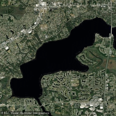
Doctors Lake
Intracoastal Waterway
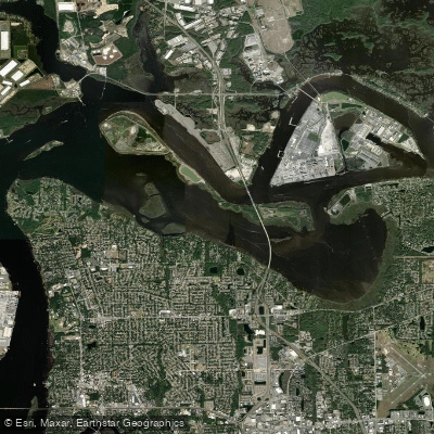
Mill Cove
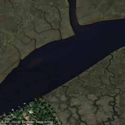
Nassau River
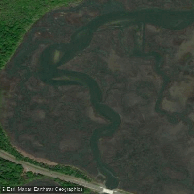
Simpson Creek
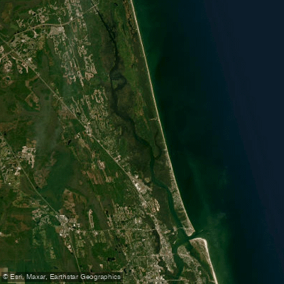
Tolomato River
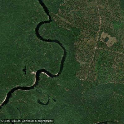
Saint Marys River
Explore Florida waters
Top paddling waters
Popular Cities
Loading popular cities...
Explore near Pablo Creek
Access points
- Tide Views Preserve Canoe Landing (Long Portage!)
- Dutton Island Park & Preserve - South Kayak Launch
- Hopkins Creek Bridge
- Hogpen Creek Bridge
- San Pablo River iww Bridge
- Intracoastal Waterway Bridge
- Hopkins Creek Bridge
- Greenfield Creek Bridge
- Intracoastal Waterway Bridge
- Mt. Pleasant Creek Bridge
- Greenfield Creek Bridge
- Sherman Creek Bridge
- All 30 spots
Nearby waters
More in Florida

Smarter Paddling Starts in the App.
Paddleways gives you everything you need to plan smarter, paddle better, and own every trip from first launch to takeout.