Tolomato River
- Saltwater
- Tidal river
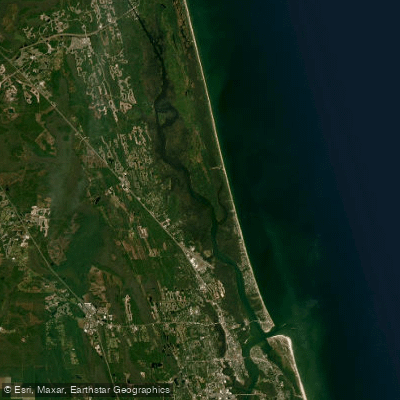
Tolomato River
- Saltwater
- Tidal river
- Sq. miles
- 4.6
- Boat Ramps
- 6
- Access Points
- 0
- Campsites
- 3
The Tolomato River is a tidal saltwater river and part of the Atlantic Intracoastal Waterway in northeast Florida, offering paddlers an undeveloped natural environment. Several public launches provide access. The Nocatee Paddle Launch, also called Nocatee Landing, is a primary access point located off Tolomato Road or Nocatee Landing Trail in Ponte Vedra Beach. It features a gravel road leading to a quiet landing with free parking, solar-powered restrooms, an open-air pavilion, and bike racks, and is open from dawn to dusk. Another key launch is at the Guana Dam within the Guana Tolomato Matanzas (GTM) Research Reserve, which has a $3 per vehicle day-use fee, restrooms, ample parking, and two ramps. One ramp provides access to the saltwater Guana River, which flows into the Tolomato River. The river is strongly influenced by tides, and paddlers must plan around them. Currents can be strong, and it is recommended to paddle upstream at the end of an incoming tide and then return downstream as the tide goes out for an easier trip. Launching and returning around high tide is advised, as low tide can make some launches difficult and muddy. The waterway sees boat traffic, which can be heavy on weekends. The overall experience is characterized by tranquil waters and opportunities for wildlife viewing, including alligators, manatees, dolphins, and numerous bird species. A unique seasonal feature is the presence of bioluminescent comb jellies in the Guana Lake and river system during the fall. Paddlers can explore the marshes, paddle around Pine Island, and venture into small tributaries leading into the Deep Creek State Forest. Morning paddles are recommended to beat the summer heat and for more active birdlife. Guided tours are available from various outfitters, some of which offer nighttime bioluminescence experiences.
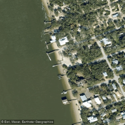
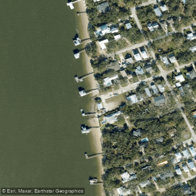
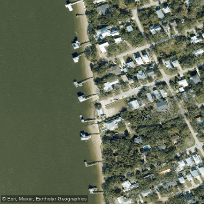
Water access, boat ramps & amenities
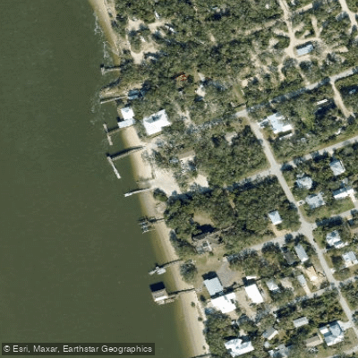
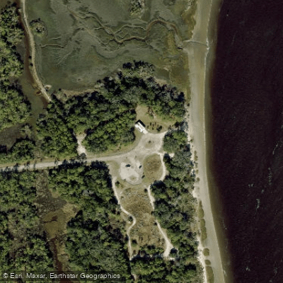
Learn how to get on Tolomato River. Uncover great paddling access points, boat ramps, and all the facilities you need for an unforgettable day on the water. Some locations shown may border or include private property. Always check property boundaries and applicable regulations before visiting. PaddleWays's Public & Private Land layer can help you plan your access with confidence.
Paddle smarter with real-time insights
Whether you're en route and conditions shift or you're looking for the best spot based on current flows, we enable you to make informed decisions on the fly.








Find Places to Paddle

Over 400,000 Places to Paddle
Every user gets free access to launch points, boat ramps, and public property parcels.


Tides, wind & water conditions (10 day forecast)
On open water, wind and tide matter as much as the weather. See the best times to paddle Tolomato River and check the marine forecast before you launch.
Loading tide predictions…
Paddling near Tolomato River

Saint Johns River
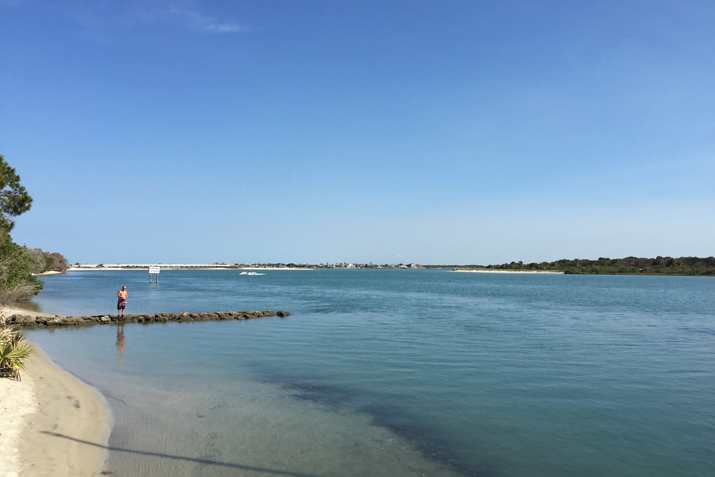
Matanzas River
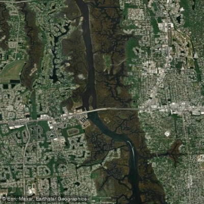
Pablo Creek
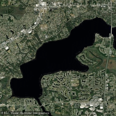
Doctors Lake
Intracoastal Waterway
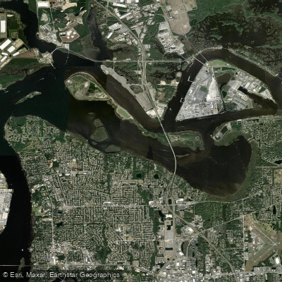
Mill Cove
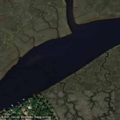
Nassau River
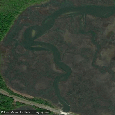
Simpson Creek
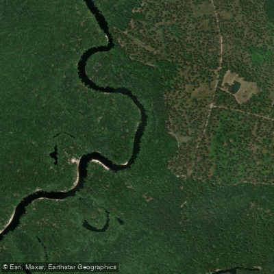
Saint Marys River
Explore Florida waters
Top paddling waters
Popular Cities
Loading popular cities...
Explore near Tolomato River
Access points
- St. Johns Recreation Park/Usina Boat Ramp
- Boating Club Road Boat Ramp
- Boating Club Road Public Boat Ramp
- Usina Public Boat Ramp
- Nocatee Landing Park - Paddlecraft Ramp
- Hospital Creek Bridge
- Hospital Creek Bridge
- San Sebastian River Bridge
- San Sebastian River Bridge
- Red House Branch Bridge
- Oyster Creek Bridge
- Heritage Park Canal Bridge
- All 16 spots
Nearby waters
More in Florida

Smarter Paddling Starts in the App.
Paddleways gives you everything you need to plan smarter, paddle better, and own every trip from first launch to takeout.