Pellicer Creek
- Saltwater
- Tidal creek
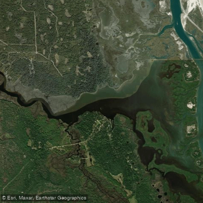
Pellicer Creek
- Saltwater
- Tidal creek
- Sq. miles
- 0.4
- Boat Ramps
- 0
- Access Points
- 0
- Campsites
- 3
Pellicer Creek is a designated Florida Canoe Trail, a tidal creek flowing approximately six miles from west of Interstate 95 eastward to the Matanzas River. The official paddling trail spans 3.5 miles between Faver-Dykes State Park and Princess Place Preserve. The primary public launch points are the compact boat ramp and dock at Faver-Dykes State Park and the launch at Princess Place Preserve. An entrance fee is required at Faver-Dykes State Park. The creek is tidal, and paddlers report noticeable currents, with the tide's influence felt strongly as the ocean is not far away. Planning a paddle against the tide on the outbound leg to allow for an easier return with the current is a common strategy. The creek presents a mostly easy paddle, though wind and tide can offer challenges, particularly in the wider, open marsh sections where there is no shade. The landscape transitions from wide, grassy salt marsh near the Matanzas River to narrower, tree-lined channels with cypress and freshwater flora upstream west of Faver-Dykes State Park. The water is brackish, a mix of salt and fresh water, tannin-stained. Wildlife is abundant, with over 100 bird species during migrations, and sightings of alligators, dolphins, manatees, deer, bobcats, and river otters are possible. The area is part of the Pellicer Creek Aquatic Preserve, one of the most pristine estuarine systems on Florida's east coast. Upstream from Faver-Dykes, paddlers can explore feeder creeks like Cracker Creek for additional miles. Downstream, the creek opens into Pellicer Flats before meeting the Matanzas River. Kayak and canoe rentals were historically available at the state park by reservation, but current information suggests rentals may now be offered through local outfitters like Tropical Kayaks in Palm Coast.
Water access, boat ramps & amenities
Learn how to get on Pellicer Creek. Uncover great paddling access points, boat ramps, and all the facilities you need for an unforgettable day on the water. Some locations shown may border or include private property. Always check property boundaries and applicable regulations before visiting. PaddleWays's Public & Private Land layer can help you plan your access with confidence.
Paddle smarter with real-time insights
Whether you're en route and conditions shift or you're looking for the best spot based on current flows, we enable you to make informed decisions on the fly.








Find Places to Paddle

Over 400,000 Places to Paddle
Every user gets free access to launch points, boat ramps, and public property parcels.


Tides, wind & water conditions (10 day forecast)
On open water, wind and tide matter as much as the weather. See the best times to paddle Pellicer Creek and check the marine forecast before you launch.
Loading tide predictions…
Paddling near Pellicer Creek

Saint Johns River
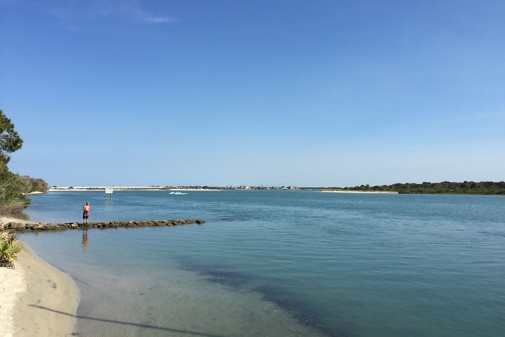
Matanzas River
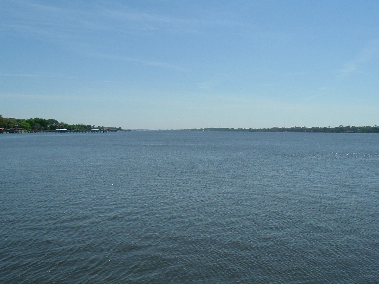
Halifax River
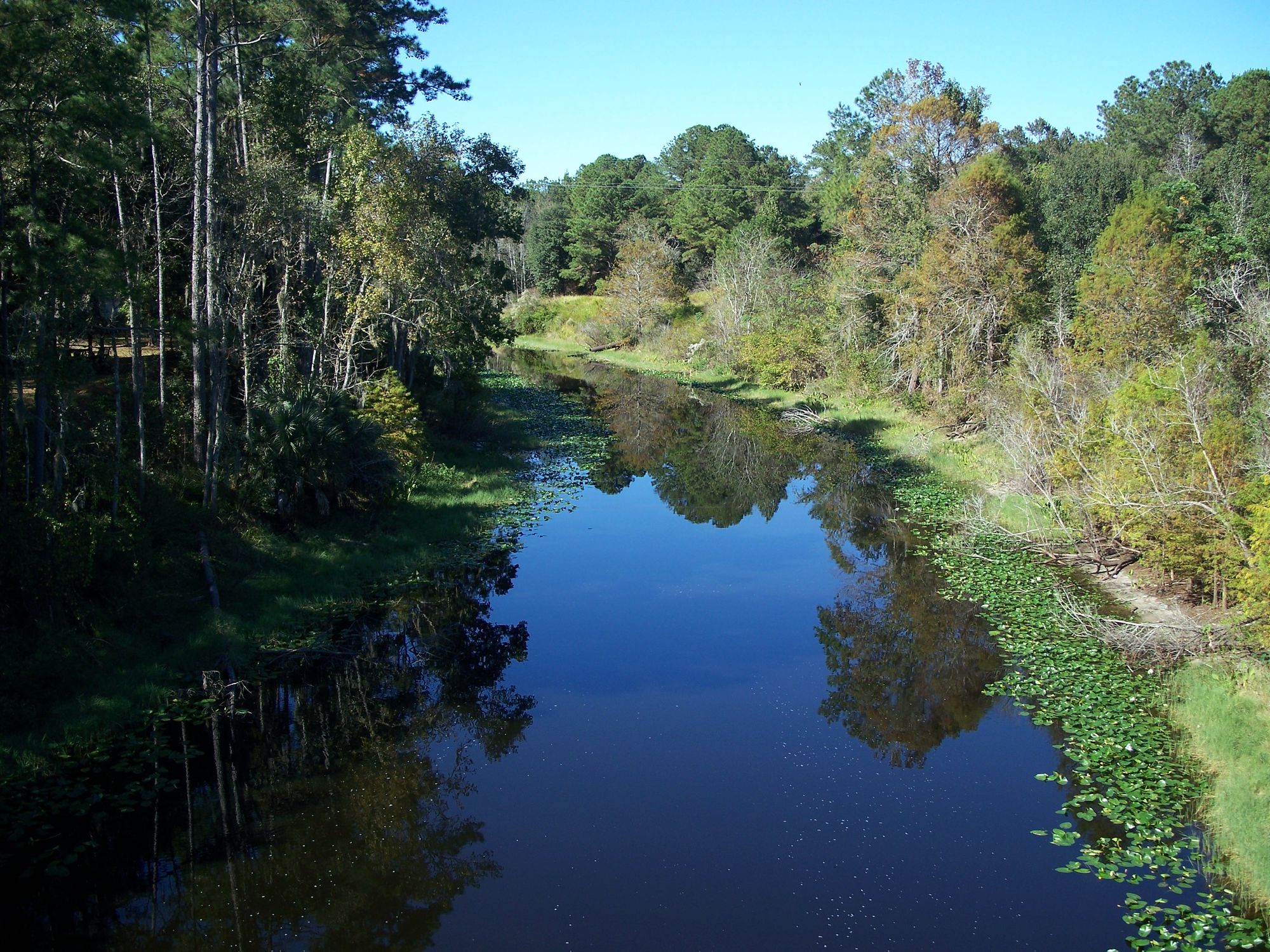
Ocklawaha River
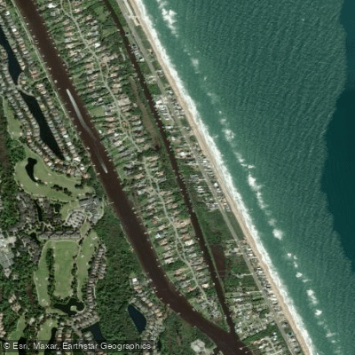
Fox Cut
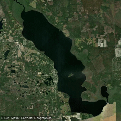
Crescent Lake
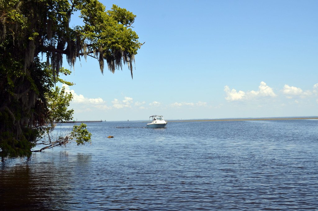
Lake George
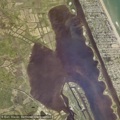
Tomoka Basin
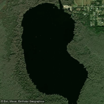
Dead Lake
Explore Florida waters
Top paddling waters
Popular Cities
Loading popular cities...
Explore near Pellicer Creek
Access points
Nearby waters
More in Florida

Smarter Paddling Starts in the App.
Paddleways gives you everything you need to plan smarter, paddle better, and own every trip from first launch to takeout.