Tomoka Basin
- Saltwater
- Bay
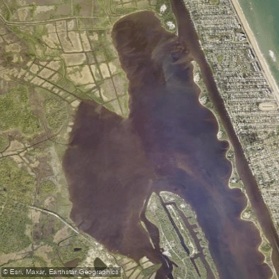
Tomoka Basin
- Saltwater
- Bay
- Sq. miles
- 1.4
- Boat Ramps
- 1
- Access Points
- 0
- Campsites
- 5
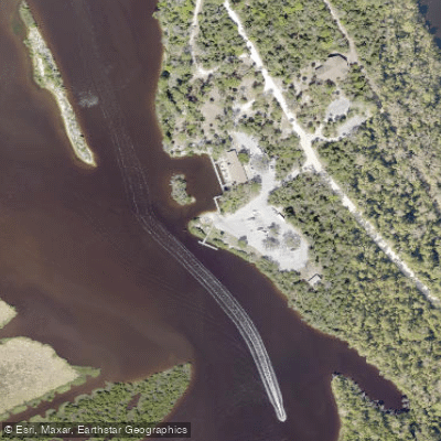
The Tomoka Basin is a coastal saltwater bay located in Volusia County, Florida, forming the confluence of the Tomoka River and Bulow Creek before they meet the Halifax River portion of the Intracoastal Waterway. Paddlers primarily access the basin via the boat ramp at Tomoka State Park, which offers parking, restrooms, and a camp store with rentals. An alternate launch is available at the Tomoka Estates boat ramp on Park Avenue in Ormond Beach, though parking there is limited. The basin is the northern terminus for the 13-mile Tomoka River Paddling Trail, which flows north from State Road 40. A common day trip is the five-mile paddle from Riverbend Park downstream to the state park launch on the basin.
This is a tidal area, and currents are a significant factor, especially closer to the coast. Paddlers report experiencing a slight current during tidal flows. The basin opens into the Halifax River and the Intracoastal Waterway, resulting in exposure to wind and fetch. Motorboat traffic is present and is a primary safety consideration. Navigating directly from the Tomoka Basin into the marked ICW channel can be challenging due to very shallow areas, "six inch" spots and "serious muck," particularly at low tide. Local knowledge recommends using alternative launches like Highbridge Park to avoid these hazardous, unmarked shallows when seeking the ICW.
The paddling environment blends coastal marsh with an urban fringe, though it retains a remote feel. Wildlife sightings may include manatees, alligators, and over 160 species of birds, such as eagles and ospreys. The area is part of the Tomoka Basin Aquatic Preserve and is rich in history, being the former site of the Timucuan village of Nocoroco. Facilities are centered at Tomoka State Park, which requires a vehicle entry fee. Guided tours are offered by local outfitters in the preserve, and the park itself hosts ranger-led paddling events on connected waterways like Bulow Creek.
Water access, boat ramps & amenities
Learn how to get on Tomoka Basin. Uncover great paddling access points, boat ramps, and all the facilities you need for an unforgettable day on the water. Some locations shown may border or include private property. Always check property boundaries and applicable regulations before visiting. PaddleWays's Public & Private Land layer can help you plan your access with confidence.
Paddle smarter with real-time insights
Whether you're en route and conditions shift or you're looking for the best spot based on current flows, we enable you to make informed decisions on the fly.








Find Places to Paddle

Over 400,000 Places to Paddle
Every user gets free access to launch points, boat ramps, and public property parcels.


Tides, wind & water conditions (10 day forecast)
On open water, wind and tide matter as much as the weather. See the best times to paddle Tomoka Basin and check the marine forecast before you launch.
Loading tide predictions…
Paddling near Tomoka Basin
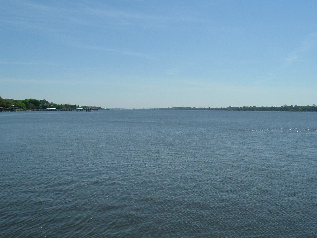
Halifax River

Saint Johns River
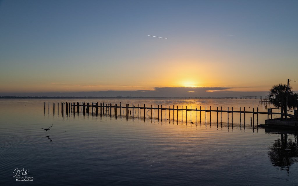
Indian River Lagoon
Matanzas River
Ocklawaha River
Indian Lake
Spring Garden Lake
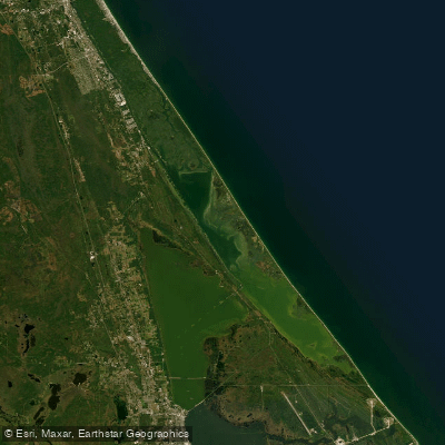
Mosquito Lagoon
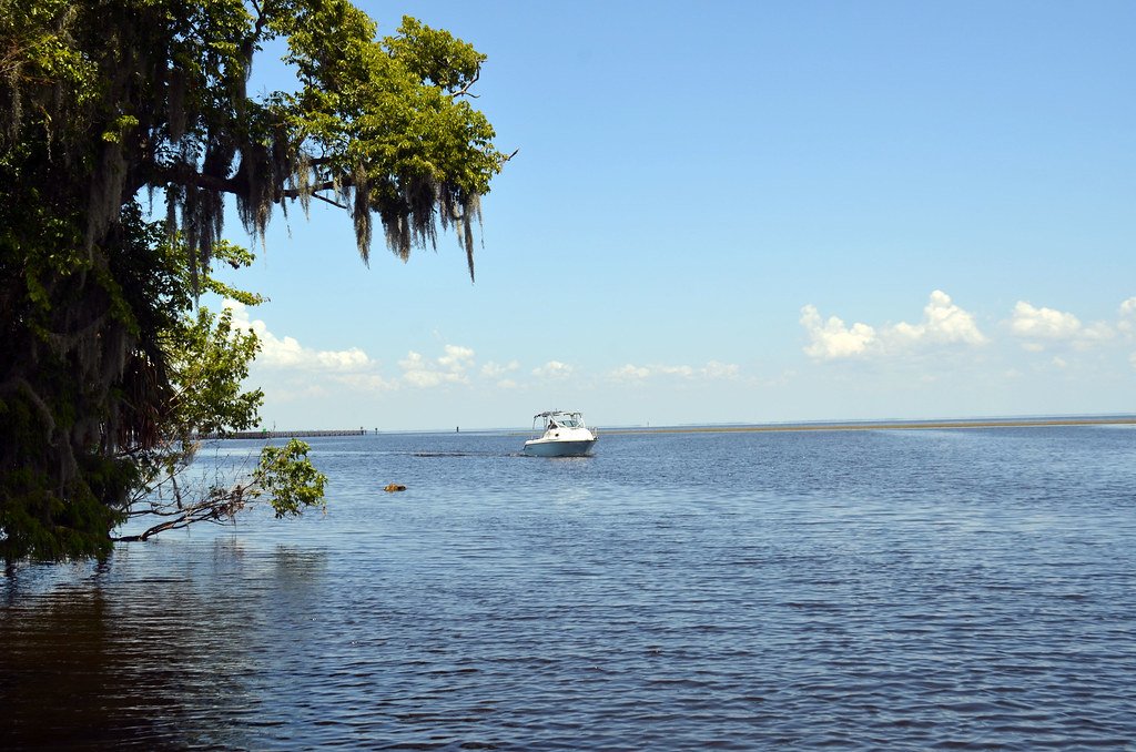
Lake George
Explore Florida waters
Top paddling waters
Popular Cities
Loading popular cities...
Explore near Tomoka Basin
Access points
Nearby waters
More in Florida

Smarter Paddling Starts in the App.
Paddleways gives you everything you need to plan smarter, paddle better, and own every trip from first launch to takeout.