Lake George
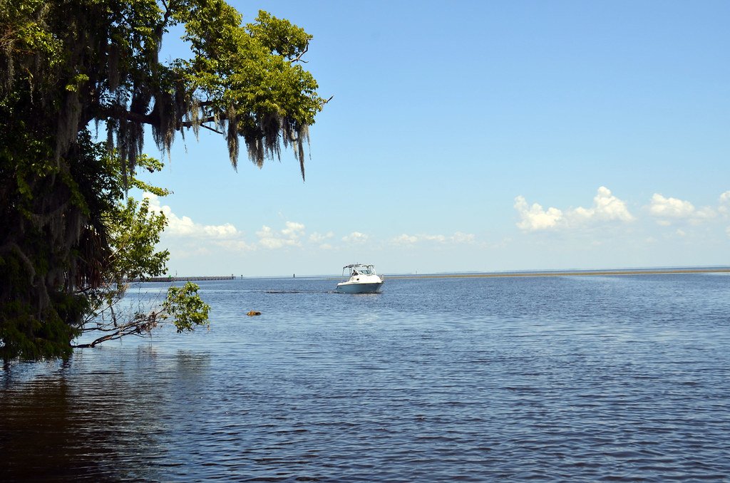
Lake George
- Boat Ramps
- 6
- Access Points
- 7
- Campsites
- 12
Lake George, situated on the St. Johns River in Lake, Marion, Putnam, and Volusia Counties, is Florida's second-largest lake at approximately 46,000 acres. This expansive, shallow body of water (averaging 8-11 feet deep) offers paddlers a unique brackish environment where freshwater meets saline influences from numerous springs, creating one of the world's few freshwater blue crab fisheries.
**Access and Launch Points** Multiple public boat ramps provide access, including Lake George State Park in Volusia County, the Lake George Public Boat Ramp, Nine Mile Point, Silver Glen Springs Recreation Area (via a short creek paddle), and several locations in Astor. Paddlers can also access the lake via spring runs including Salt Springs Run and Juniper Creek, which flow into the lake from the Ocala National Forest.
**Paddling Character and Hazards** This is open-water paddling requiring intermediate to advanced skills. The lake's vast size (11 miles long by 6-7 miles wide) means significant wind exposure, and conditions can deteriorate rapidly. Waves exceeding 3 feet are possible during strong winds, particularly from the north. Paddlers should stay near shorelines for safety and scout weather carefully. Motor boat traffic is common, especially on weekends. The shallow depth creates choppy conditions even in moderate winds.
**Scenery and Wildlife** The western shoreline borders Ocala National Forest, remaining largely undeveloped with hardwood swamps, cypress stands, and pine flatwoods. Eastern shores show more development but retain natural character. Wildlife viewing is exceptional: osprey, bald eagles, herons, egrets, wood storks, limpkins, and various waterfowl are common. Alligators are present but less concentrated than in upstream waters. Manatees occasionally appear. The lake is on the Great Florida Birding and Wildlife Trail. Morning paddles along protected shorelines offer the best conditions for wildlife observation and calmer water.
Water access, boat ramps & amenities
Learn how to get on Lake George. Uncover great paddling access points, boat ramps, and all the facilities you need for an unforgettable day on the water. Some locations shown may border or include private property. Always check property boundaries and applicable regulations before visiting. PaddleWays's Public & Private Land layer can help you plan your access with confidence.
Paddle smarter with real-time insights
Whether you're en route and conditions shift or you're looking for the best spot based on current flows, we enable you to make informed decisions on the fly.








Find Places to Paddle

Over 400,000 Places to Paddle
Every user gets free access to launch points, boat ramps, and public property parcels.


Water and weather conditions (10 day forecast)
See the best times to paddle Lake George and check the forecast before you go.
SILVER GLEN SPRINGS NEAR ASTOR, FL
Paddling near Lake George

Saint Johns River
Halifax River
Indian River Lagoon
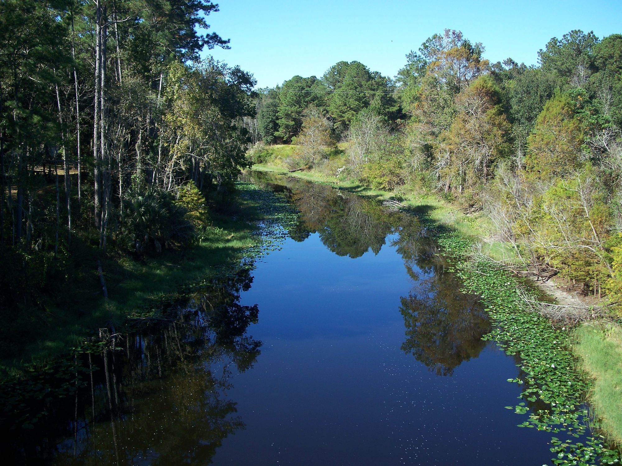
Ocklawaha River
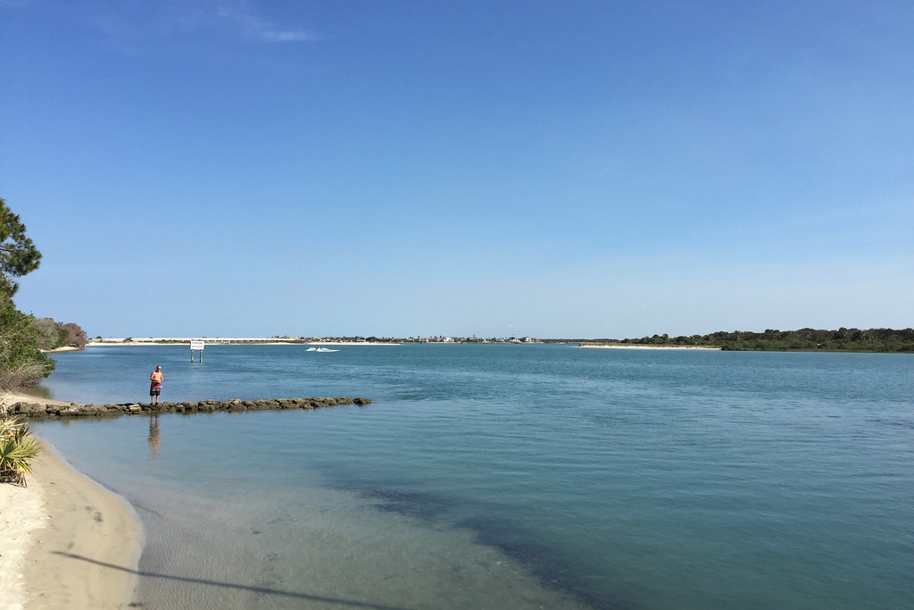
Matanzas River
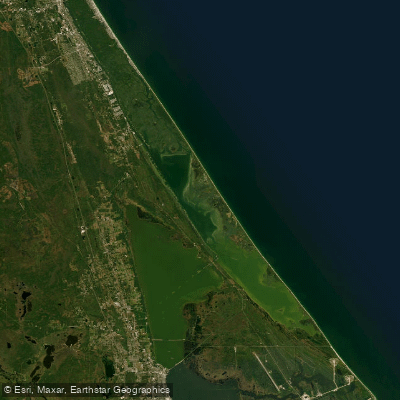
Mosquito Lagoon
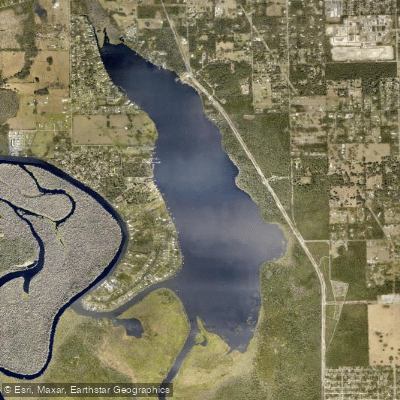
Lake Beresford
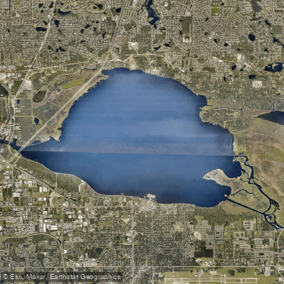
Lake Monroe
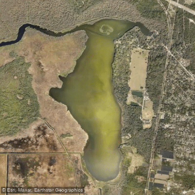
Spring Garden Lake
Explore Florida waters
Top paddling waters
Popular Cities
Loading popular cities...
Explore near Lake George
Access points
- Pine Island Campground Boat Ramp
- Lake George Park Nine Mile Boat Ramp
- M-Port Marina Boat Ramp
- Ocala National Forest - Silver Glen Springs Recreation Area - Paddlecarft Launch
- Lake George Conservation Area Barrs Landing Boat Ramp
- Shell Harbor Marine Park Boat Ramp
- Lake George Access
- St. Johns River Bridge
- Magic Kingdom Blvd Bridge
- Juniper Creek Bridge
- St. Johns River Bridge
- Pine Island Marina & Rv Park Campground
- All 26 spots
Nearby waters
More in Florida

Smarter Paddling Starts in the App.
Paddleways gives you everything you need to plan smarter, paddle better, and own every trip from first launch to takeout.