Rubicon Keys
- Saltwater
- Bay
Rubicon Keys
- Saltwater
- Bay
- Sq. miles
- 0.4
- Boat Ramps
- 0
- Access Points
- 0
- Campsites
- 1
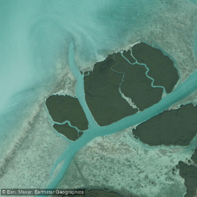
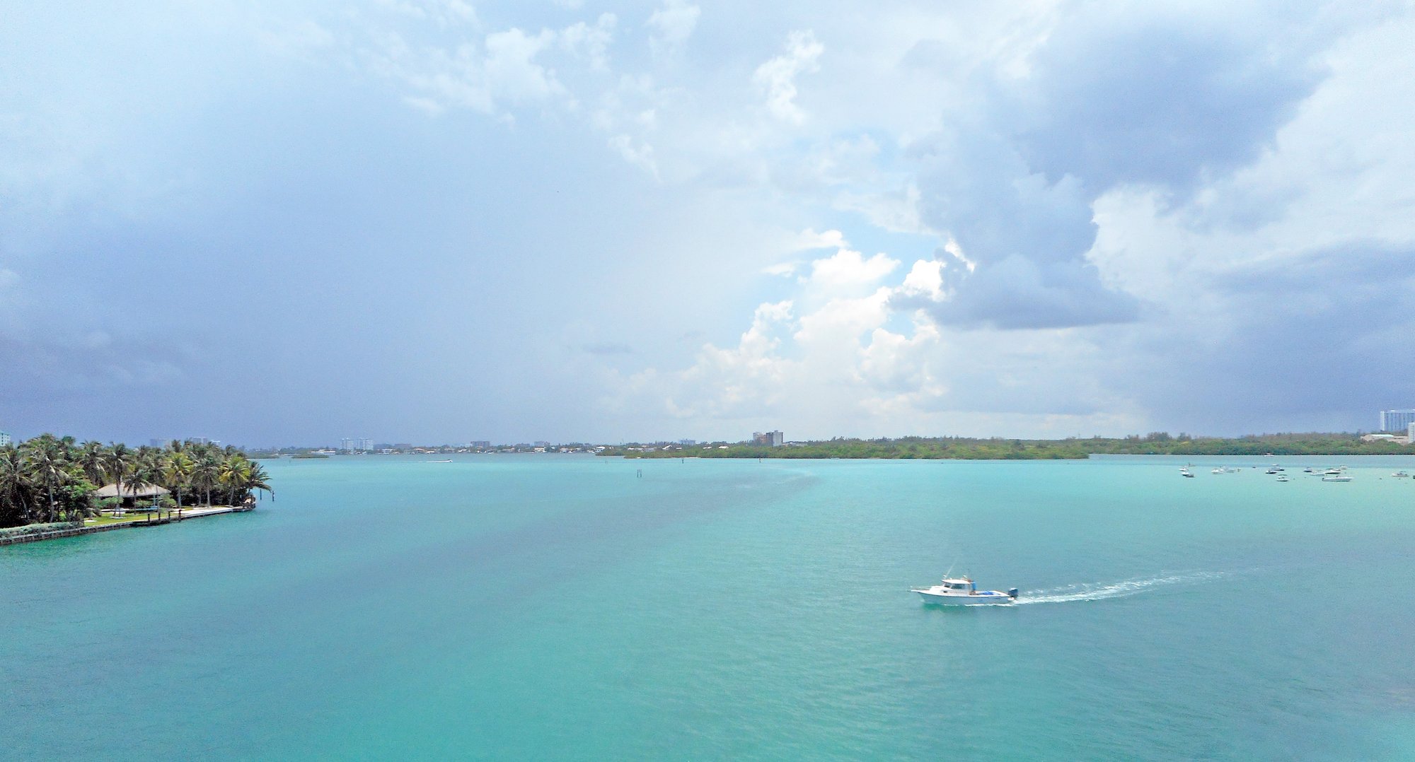
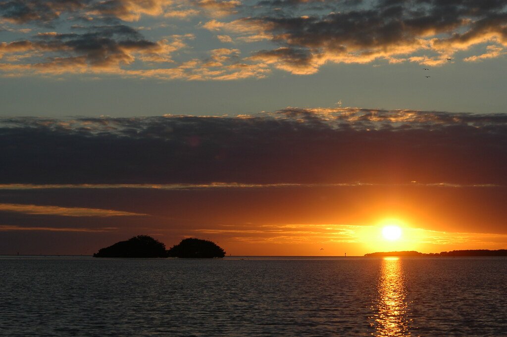
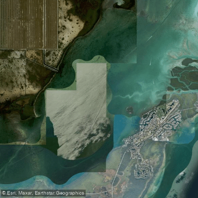
Rubicon Keys is a group of small, densely wooded coral islands located within Biscayne National Park, approximately eight to nine miles off the southeastern coast of Florida at the mouth of Biscayne Bay. These keys are part of the northernmost Florida Keys and are accessible solely by boat, being roadless, waterless, and practically uninhabited. The area is characterized by its undeveloped, unspoiled nature, preserved as part of the national park. For paddlers, a primary access point for reaching these waters is Homestead Bayfront Park, from which boaters launch to access the flats around the keys. The paddling environment here is primarily open bay and coastal, with exposure to the winds and fetch across Biscayne Bay. Tidal currents are a significant factor, and paddlers must plan trips around tide stages, aiming to paddle against the tide on the way out and with the tide on the return, or vice versa, to conserve energy. The area features sensitive shallow flats, and there are discussions and potential regulations regarding no-combustion zones to protect these resources from powerboat damage; these zones could restrict motorized boat traffic in certain shallow areas, potentially reducing boat traffic hazards for paddlers in those specific locations. The keys are part of the Florida Circumnavigational Saltwater Paddling Trail, indicating established paddling routes. Wildlife viewing and bird-watching are notable activities in this area of mangrove islands and clear waters. There are no facilities or amenities on the keys themselves, so paddlers must be self-sufficient, carrying all necessary water and supplies. The overall experience is one of remote, natural exploration in a protected marine environment.
Water access, boat ramps & amenities
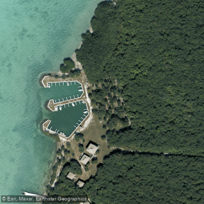
Learn how to get on Rubicon Keys. Uncover great paddling access points, boat ramps, and all the facilities you need for an unforgettable day on the water. Some locations shown may border or include private property. Always check property boundaries and applicable regulations before visiting. PaddleWays's Public & Private Land layer can help you plan your access with confidence.
Paddle smarter with real-time insights
Whether you're en route and conditions shift or you're looking for the best spot based on current flows, we enable you to make informed decisions on the fly.








Find Places to Paddle

Over 400,000 Places to Paddle
Every user gets free access to launch points, boat ramps, and public property parcels.


Tides, wind & water conditions (10 day forecast)
On open water, wind and tide matter as much as the weather. See the best times to paddle Rubicon Keys and check the marine forecast before you launch.
Loading tide predictions…
Explore Florida waters
Top paddling waters
Popular Cities
Loading popular cities...
Explore near Rubicon Keys
Access points
Nearby waters
More in Florida

Smarter Paddling Starts in the App.
Paddleways gives you everything you need to plan smarter, paddle better, and own every trip from first launch to takeout.