Terra Ceia Bay
- Saltwater
- Bay
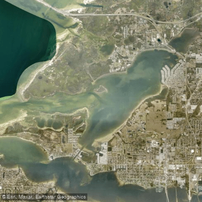
Terra Ceia Bay
- Saltwater
- Bay
- Sq. miles
- 5.5
- Boat Ramps
- 4
- Access Points
- 0
- Campsites
- 4
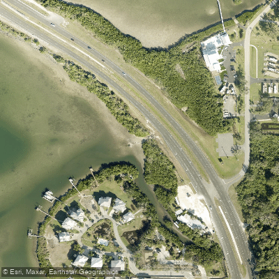
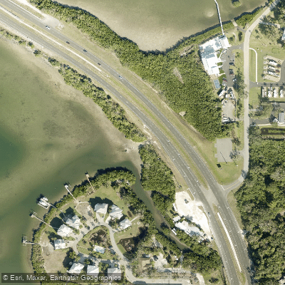
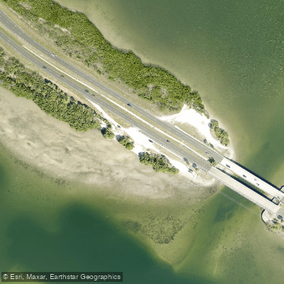
Terra Ceia Bay is a coastal bay within the larger Tampa Bay estuary system in Florida, characterized by a mix of freshwater and saltwater that creates tea-colored water. It is part of the Terra Ceia Aquatic Preserve and is bordered by mangrove forests and grass flats. The bay offers a sheltered, beginner-friendly paddling environment with generally calm water, though paddlers must be aware of tidal currents and boat traffic. Key public launch points include a beach launch at the Terra Ceia Bay Highway 19 Access Point South, which features a boat ramp, parking, a dock, and restrooms. Other launch sites are on Bishop Harbor Road and Stotz Road, and an improvised ramp exists at Bishop Harbor, though seagrass limits vessel size there. A specific launch for a trip into Frog Creek is at a beach on the north end of the U.S. 19 bridge, west of the highway. The bay is tidal, and timing trips with the tide is important, especially for exploring feeder creeks like Frog Creek; one source recommends starting a trip into Frog Creek within a three-hour window from one hour before to two hours after high tide, using Egmont Key tide tables as a guide. Paddlers should be prepared for shallow water with rocks and shells at low tides, particularly when navigating under bridges like the one for Terra Ceia Road and the dual bridges for I-275, where turbulence can also occur. Motorboat traffic is a noted hazard, with some areas designated as slow speed or no wake zones and other areas where boats can operate at planing speeds, creating significant wakes that paddlers should point their bow into. The area is known for abundant wildlife, including dolphins, pelicans, ospreys, herons, egrets, and mullet. The paddling experience is peaceful, with opportunities to explore mangrove tunnels and view Florida's natural ecosystems with minimal intrusion from city sounds. There are no developed facilities within the aquatic preserve itself, and visitors are advised to bring all necessary supplies, including bug spray.
Water access, boat ramps & amenities
Learn how to get on Terra Ceia Bay. Uncover great paddling access points, boat ramps, and all the facilities you need for an unforgettable day on the water. Some locations shown may border or include private property. Always check property boundaries and applicable regulations before visiting. PaddleWays's Public & Private Land layer can help you plan your access with confidence.
Paddle smarter with real-time insights
Whether you're en route and conditions shift or you're looking for the best spot based on current flows, we enable you to make informed decisions on the fly.








Find Places to Paddle

Over 400,000 Places to Paddle
Every user gets free access to launch points, boat ramps, and public property parcels.


Tides, wind & water conditions (10 day forecast)
On open water, wind and tide matter as much as the weather. See the best times to paddle Terra Ceia Bay and check the marine forecast before you launch.
Loading tide predictions…
Paddling near Terra Ceia Bay
Manatee River
Myakka River
Tampa Bay
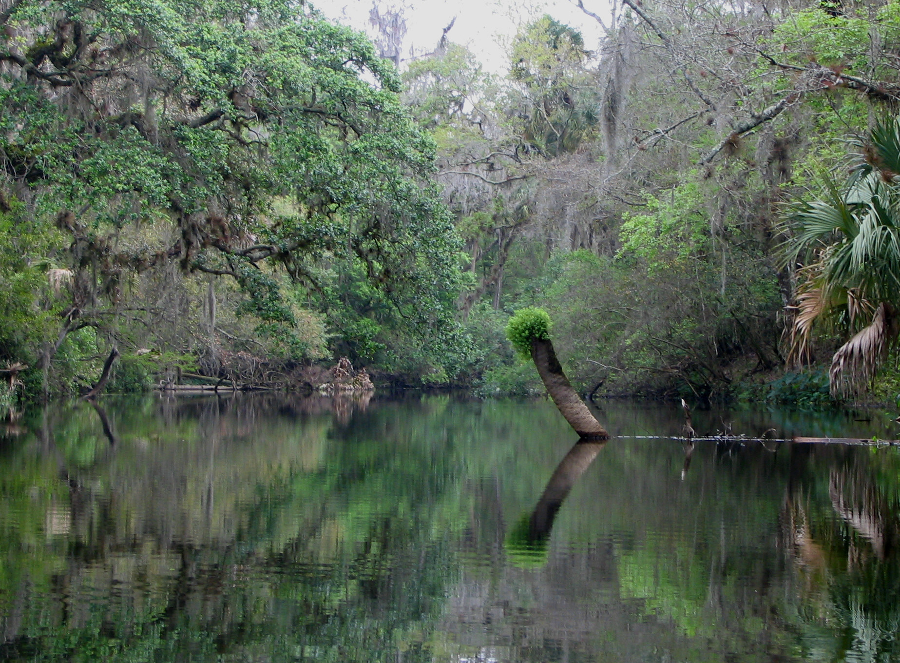
Hillsborough River
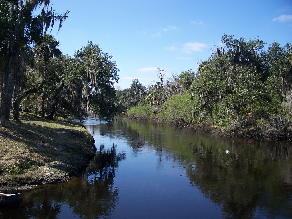
Peace River
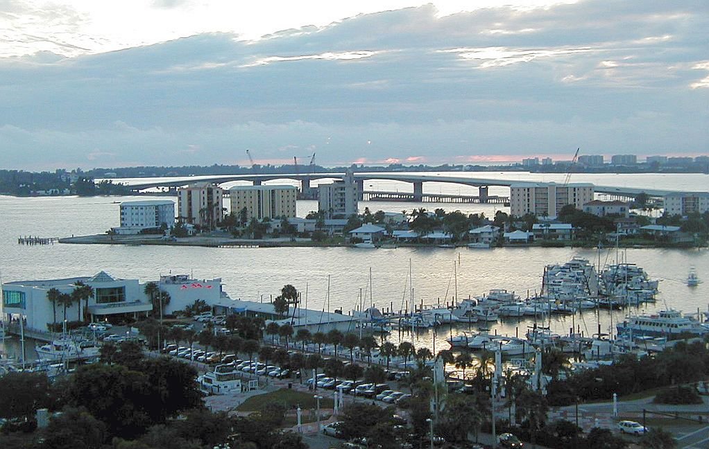
Sarasota Bay
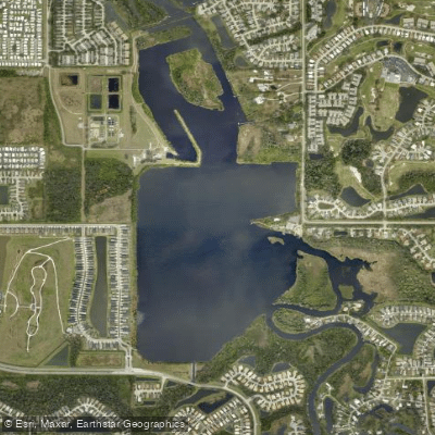
Ward Lake
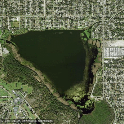
Lake Maggiore
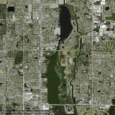
Lake Seminole
Explore Florida waters
Top paddling waters
Popular Cities
Loading popular cities...
Explore near Terra Ceia Bay
Access points
- Terra Ceia Bay Highway 19 Access Point South Boat Ramp
- Terra Ceia Bay at Highway 19 - ""Crab Trap"" Paddlecraft Access
- Terra Ceia Bay at Highway 19 Southbound - Paddlecraft Access
- Terra Ceia Bay at Highway 19 Northbound - Paddlecraft Access
- Mcmullen Creek Bridge
- Terra Ceia River Bridge
- Mcmullen Creek Bridge
- Frog Creek Bridge
- Mcmullen Creek Bridge
- Frog Creek Bridge
- Frog Creek Bridge
- Wares Creek Bridge
- All 29 spots
Nearby waters
More in Florida

Smarter Paddling Starts in the App.
Paddleways gives you everything you need to plan smarter, paddle better, and own every trip from first launch to takeout.