Curated by PaddleWays
RouteClass I–II
- Distance
- 3.9 mi
- Paddle time
- ~1.5 hrs
- Best for
- Beginners
- Put-in → take-out
- Ragan Road Access → Eddyville Access
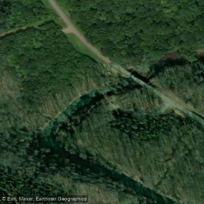
Potentially muddy, rutted dirt access road
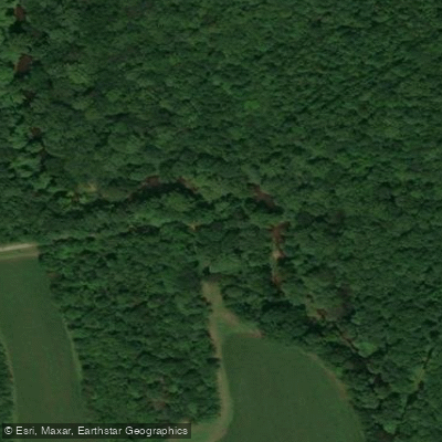
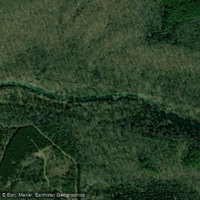
Lusk Creek is a scenic waterway located in southern Illinois, flowing through the heart of the Shawnee National Forest. This spring-fed creek originates in Pope County and meanders southward through a picturesque canyon before eventually joining the Ohio River. The most popular paddling section is the 7.1-mile stretch known as Lusk Creek Canyon, which runs from Iron Bridge near Eddyville to the Lusk Creek Canoe/Kayak Access. This section offers a beautiful journey through the Lusk Creek Wilderness, designated as a national natural landmark in 1980 for its outstanding beauty and ecological significance.
The creek features Class I to III rapids, depending on water levels, as it flows through a canyon with tall sandstone bluffs and lush forests. Paddling difficulty ranges from beginner to intermediate, with some challenging sections during high water. The best times for paddling are typically spring and early summer when water levels are optimal. Late fall can also provide good conditions with the added bonus of colorful foliage.
The area is rich in biodiversity, home to a variety of plant and animal species unique to the region. Due to its ecological importance, the Shawnee National Forest has designated Lusk Creek a Zoological Area within the Lusk Creek Wilderness boundaries. Key landmarks include the Iron Bridge put-in, Indian Kitchen (a scenic overlook), and various rock formations along the canyon walls. The Lusk Creek Wilderness offers additional hiking opportunities for those looking to explore beyond the waterway.
Primary access points include: 1. Iron Bridge on Eddyville Road (main put-in) 2. Lusk Creek Canoe/Kayak Access near Eddyville (popular take-out) 3. Ragan Road access (alternative put-in for a shorter trip)
Paddlers should be aware that camping is not allowed in designated natural areas within Lusk Creek Wilderness, including along the creek banks. Additionally, access roads, particularly to Ragan Road, can be challenging and may become impassable in wet conditions. For those seeking a longer adventure, it's possible to continue beyond the Lusk Creek Access all the way to the Ohio River, though this extended trip requires careful planning and consideration of water levels.
Safety considerations include checking water levels before paddling, as the creek can become dangerous during high water events. Paddlers should also be prepared for remote conditions with limited cell phone coverage in parts of the wilderness area.
Lusk Creek offers a unique paddling experience that showcases the natural beauty of southern Illinois, providing outdoor enthusiasts with a perfect blend of scenic tranquility and exciting whitewater in the heart of the Shawnee National Forest.
Curated routes
Hand-picked by the PaddleWays team, with put-ins, take-outs, paddle times and the hazards along the way.
RouteClass I–II
RouteClass I–III
Hazards
No hazards are marked on Lusk Creek yet. That is not the same as none being there: if you find one, report it for the next paddler.
From the community
Nobody has shared a trip on Lusk Creek yet. Paddle it, then tell the next paddler how it went.
See exactly where the public can get on and off the river. Launch points and boat ramps are paired with PaddleWays' public land data so you know where you can legally land.
Public shoreline
51%of the river's shoreline is public
Flows, weather and a route-by-route verdict, so you know which stretch of the Lusk Creek is worth paddling today.
Live flows, marked hazards and fresh trip reports from paddlers who were just on the water, all in one place.





Every user gets free access to launch points, boat ramps, and public property parcels.


Loading popular cities...
PaddleWays gives you everything you need to plan smarter, paddle better, and own every trip from first launch to takeout.