Clarks River
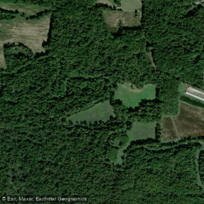
Clarks River
- Boat Ramps
- 3
- Access Points
- 3
- Campsites
- 1
The Clarks River, named after George Rogers Clark, is a significant waterway in western Kentucky. It originates in Marshall County and flows generally northwest through McCracken and Graves counties before joining the Tennessee River near Paducah. The river's main stem is formed by the confluence of its East and West Forks.
The East Fork of the Clarks River offers an excellent paddling experience, particularly the section from Sharpe-Elva Road to its mouth. This stretch meanders through scenic bottomland forests and wetlands, providing a peaceful journey through some of Kentucky's most unique ecosystems. The river is classified as International Class I, making it suitable for paddlers of all skill levels, from beginners to advanced. With a gradient of 1.27 feet per mile and velocities ranging from 0 to 2.5 mph, the Clarks River provides a gentle flow ideal for leisurely paddling and wildlife observation. The river's width varies between 30 to 65 feet, allowing for easy navigation.
The best paddling season is typically from mid-fall to early summer, with water temperatures ranging from the mid-40s°F in winter to the mid-70s°F in summer.
The Clarks River National Wildlife Refuge, established along the river's course, protects one of the largest remaining areas of bottomland hardwood forest in the Southeast. Paddlers can expect to see a diverse array of flora and fauna, including bald cypress trees, various waterfowl, and possibly even alligator gar in the deeper sections.
Key access points include Tucker Lane off KY 795 and Milliken Mill Lane, both near the town of Benton. The Clarks River Canoe & Kayak Trail, developed in partnership with McCracken County, offers interpretive opportunities for paddlers to learn about the river's ecosystem and history.
Paddlers should be aware of potential hazards such as deadfalls, low-hanging trees, and the possibility of flash floods. Near Paducah, boaters should also watch for powerboat traffic. Portages may be necessary around some obstacles.
For those interested in multi-day trips, the river's gentle nature and the presence of the wildlife refuge offer opportunities for extended journeys, though careful planning is required due to limited established campsites.
The Clarks River holds significant ecological and cultural importance for western Kentucky. Its undammed, unchanneled nature makes it a rare and valuable resource in the region. Each September, the Jackson Purchase Foundation hosts an annual Clarks River Family Float event, celebrating this natural treasure and fostering community engagement with the river.
Water access, boat ramps & amenities
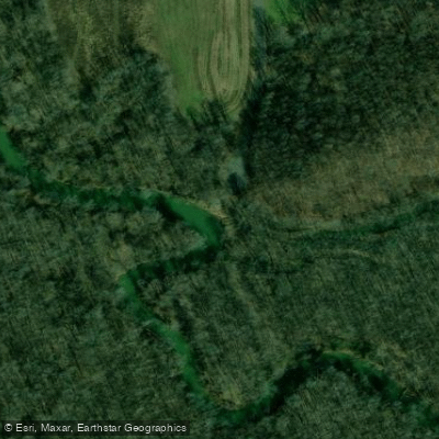
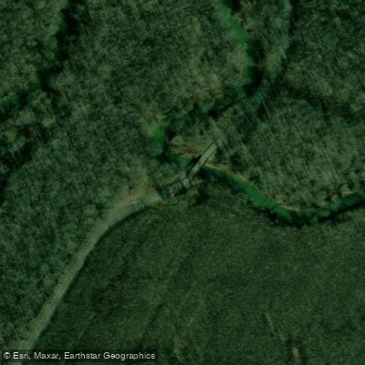
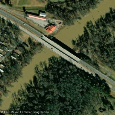
Learn how to get on Clarks River. Uncover great paddling access points, boat ramps, and all the facilities you need for an unforgettable day on the water. Some locations shown may border or include private property. Always check property boundaries and applicable regulations before visiting. PaddleWays's Public & Private Land layer can help you plan your access with confidence.
Paddle smarter with real-time insights
Whether you're en route and conditions shift or you're looking for the best spot based on current flows, we enable you to make informed decisions on the fly.








Find Places to Paddle

Over 400,000 Places to Paddle
Every user gets free access to launch points, boat ramps, and public property parcels.


Water and weather conditions (10 day forecast)
See the best times to paddle Clarks River and check the forecast before you go.
CLARKS RIVER AT MURRAY, KY
All Flow Stations
Paddling near Clarks River

Ohio River

Tennessee River
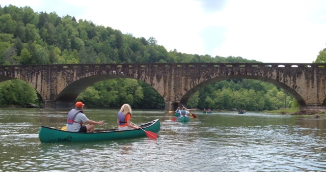
Cumberland River
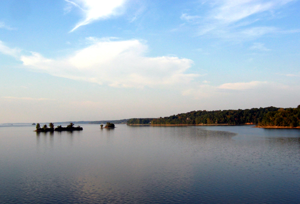
Kentucky Lake
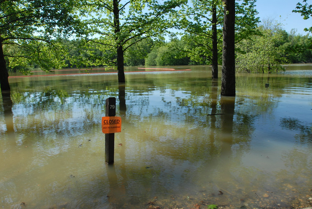
Lake Barkley

Mississippi River
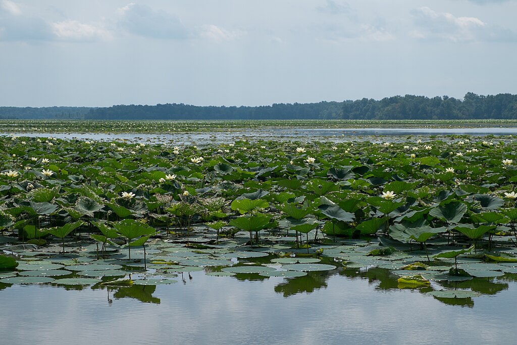
Crab Orchard Lake
Little River
Allard Lake
Explore Kentucky waters
Top paddling waters
Popular Cities
Loading popular cities...
Explore near Clarks River
Access points
- Tucker Lane Boat Ramp
- Milliken Mills Boat Ramp
- Clarks River Boat Ramp
- East Fk-clarks River Bridge
- East Fork Clarks River Bridge
- E.fk. Clarks River Bridge
- East Fork Clarks River Bridge
- East Fork Of Clarks Rive Bridge
- Clarks River Bridge
- East Fork Clarks River Bridge
- Clarks River Bridge
- Clarks River Bridge
- All 118 spots
Nearby waters
More in Kentucky

Smarter Paddling Starts in the App.
Paddleways gives you everything you need to plan smarter, paddle better, and own every trip from first launch to takeout.