Monroe Lake
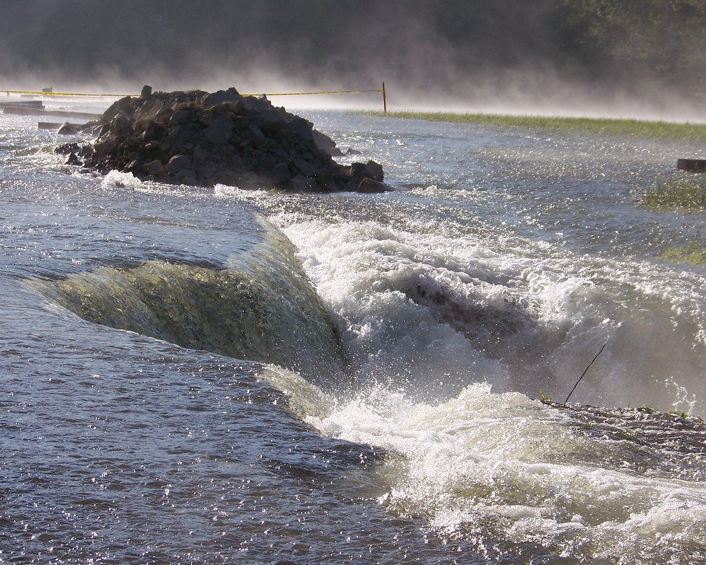
Monroe Lake
- Boat Ramps
- 15
- Access Points
- 16
- Campsites
- 14
Monroe Lake, Indiana's largest inland body of water at nearly 11,000 acres, offers diverse paddling opportunities. The lake features 11 boat launch ramps, providing easy access for kayakers and canoeists. Popular put-in locations include Pine Grove SRA, Crooked Creek SRA, and Paynetown SRA boat ramps.
The lake's expansive size allows for both peaceful exploration of secluded coves and more active paddling on open water. Paddlers can expect to encounter a mix of natural shorelines, beaches, and forested areas, particularly in the lake's headwaters and North Fork Wildlife Area. The Charles C. Deam Wilderness borders part of the shoreline, offering a pristine backdrop.
Wildlife viewing is a highlight, with opportunities to spot great blue herons, egrets, bald eagles, and various waterfowl. The lake is also home to diverse fish species, including bass, walleye, and catfish. Late summer can be ideal for observing migrating shorebirds.
Paddling season typically runs from late April through August, with sunset paddles offering chances to see beaver and deer. Water activities, including paddling, are prohibited in certain areas from October to April due to waterfowl nesting.
Amenities for paddlers include kayak and canoe rentals at several locations around the lake. Camping options are available at Hardin Ridge Recreation Area, Paynetown SRA, and other nearby campgrounds for multi-day trips.
Paddlers should be aware that Monroe Lake can get busy with recreational boaters, especially during summer weekends. Wind conditions on the open lake can also create challenging paddling conditions at times.
For a scenic day trip, consider exploring the quieter backwaters and creeks feeding into the lake or paddling the stretch between Paynetown SRA and Fairfax SRA, which offers a good mix of open water and shoreline variety.
Water access, boat ramps & amenities
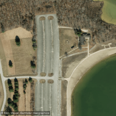
Learn how to get on Monroe Lake. Uncover great paddling access points, boat ramps, and all the facilities you need for an unforgettable day on the water. Some locations shown may border or include private property. Always check property boundaries and applicable regulations before visiting. PaddleWays's Public & Private Land layer can help you plan your access with confidence.
Paddle smarter with real-time insights
Whether you're en route and conditions shift or you're looking for the best spot based on current flows, we enable you to make informed decisions on the fly.








Find Places to Paddle

Over 400,000 Places to Paddle
Every user gets free access to launch points, boat ramps, and public property parcels.


Water and weather conditions (10 day forecast)
See the best times to paddle Monroe Lake and check the forecast before you go.
SALT CREEK NEAR HARRODSBURG, IN
Paddling near Monroe Lake

White River
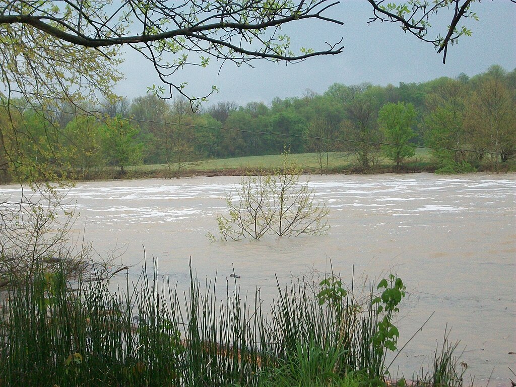
East Fork White River
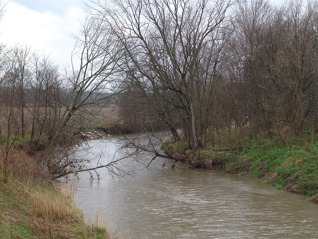
Big Blue River
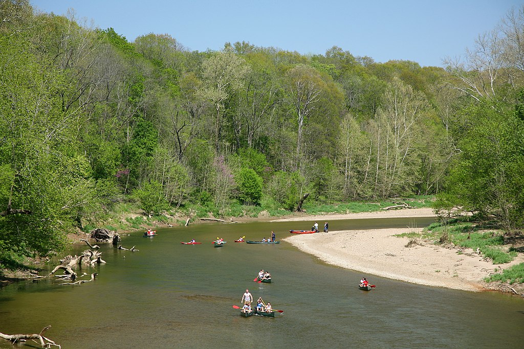
Sugar Creek
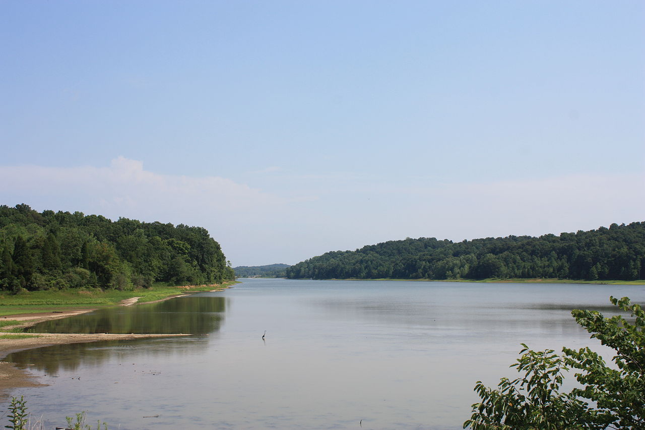
Patoka Lake
Yellowwood Lake
Griffy Reservoir
North Fork Salt Creek
Clear Creek
Explore Indiana waters
Top paddling waters
Popular Cities
Loading popular cities...
Explore near Monroe Lake
Access points
Nearby waters
More in Indiana

Smarter Paddling Starts in the App.
Paddleways gives you everything you need to plan smarter, paddle better, and own every trip from first launch to takeout.