Sugar Creek
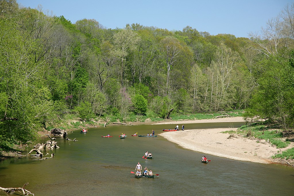
Sugar Creek
- Boat Ramps
- 1
- Access Points
- 4
- Campsites
- 7
Sugar Creek originates in western Henry County and flows southwest for approximately 82 miles through Madison, Hancock, Shelby, and Johnson counties before joining the Big Blue River to form the Driftwood River near Edinburgh in southeastern Johnson County. The creek derives its name from the sugar maple trees that historically lined its banks, and it represents a significant tributary system in east-central Indiana's watershed.
The creek varies in width from 20 to 40 feet throughout most of its course, with depths typically ranging from 2 to 4 feet under normal conditions. The streambed consists primarily of rubble and sand, with scattered sandbars appearing during lower water levels. The water generally runs clear except following rainfall, when it takes on a muddy appearance.
Paddling opportunities exist along multiple sections, though access points require careful planning. The creek begins near Cadiz in Henry County and meanders through agricultural landscapes before entering more wooded corridors in Shelby and Johnson counties. Several small bridges cross the waterway, including railroad trestles and an old iron truss bridge. The creek features gentle riffles, pools, and occasional small drops that create modest standing waves during optimal water levels. Fallen trees and strainers present navigation challenges in several areas, requiring portages or careful maneuvering.
Spring months, particularly April and May, provide the most reliable water levels for paddling. Summer conditions often result in shallow sections requiring dragging or portaging. The creek becomes dangerous during flood stage and should be avoided when water levels exceed 3.5 feet at monitoring points.
Wildlife sightings commonly include white-tailed deer, squirrels, raccoons, and various waterfowl. The waterway supports populations of largemouth bass, smallmouth bass, catfish, and panfish. Beavers have established activity in certain sections, and their dams occasionally impact water flow.
Access points exist at several road crossings, though many are on private property requiring permission. Public access includes locations near State Road 39 in Henry County and various county road bridges in Shelby County. The takeout near U.S. 52 in Johnson County provides access to the lower reaches.
Indiana law regarding navigability creates complications for paddlers, as Sugar Creek has not been designated a navigable waterway in certain counties. Touching banks or bottoms outside normal high-water marks may constitute trespassing on private property. Some landowners have posted notices specifically addressing this issue.
The creek passes through predominantly agricultural land with scattered woodlots, offering a mix of open and shaded paddling. Sycamore, cottonwood, and willow trees dominate the riparian zones.
Water access, boat ramps & amenities
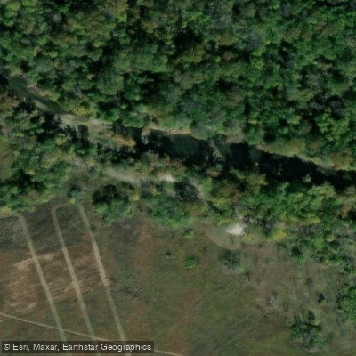
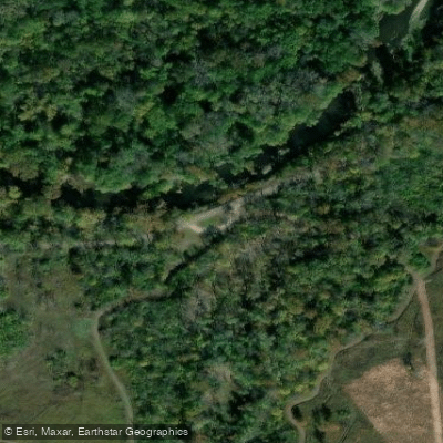
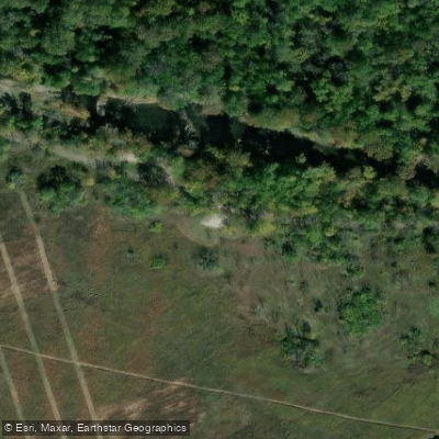
Learn how to get on Sugar Creek. Uncover great paddling access points, boat ramps, and all the facilities you need for an unforgettable day on the water. Some locations shown may border or include private property. Always check property boundaries and applicable regulations before visiting. PaddleWays's Public & Private Land layer can help you plan your access with confidence.
Paddle smarter with real-time insights
Whether you're en route and conditions shift or you're looking for the best spot based on current flows, we enable you to make informed decisions on the fly.








Find Places to Paddle

Over 400,000 Places to Paddle
Every user gets free access to launch points, boat ramps, and public property parcels.


Water and weather conditions (10 day forecast)
See the best times to paddle Sugar Creek and check the forecast before you go.
SUGAR CREEK NEAR EDINBURGH, IN
All Flow Stations
Paddling near Sugar Creek
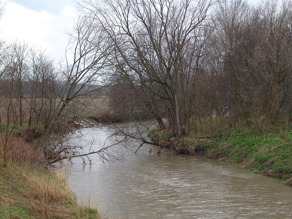
Big Blue River

White River
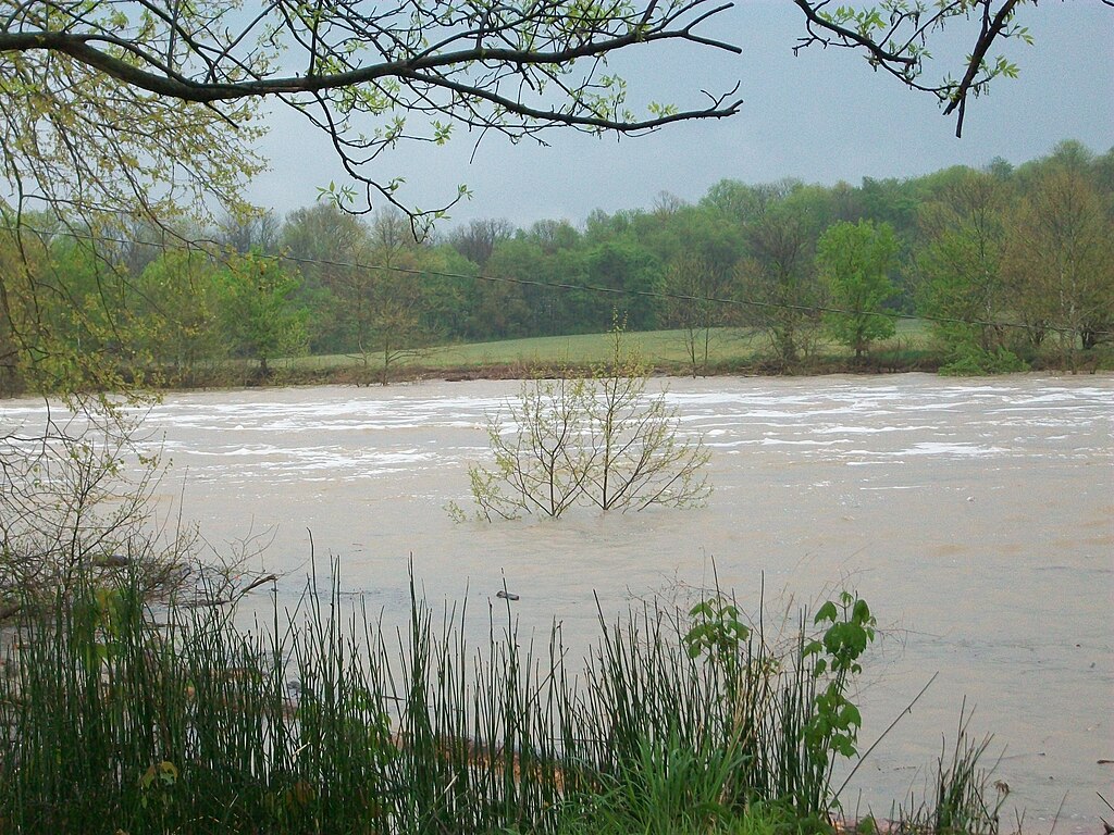
East Fork White River
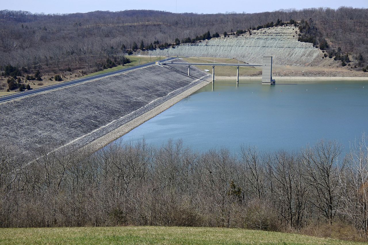
Brookville Lake
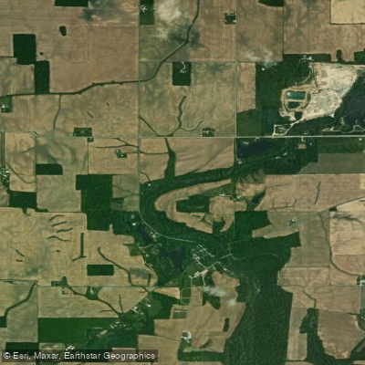
Flatrock River
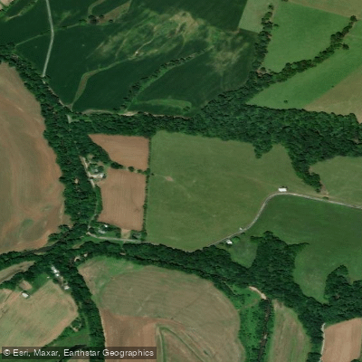
Skaggs Creek
Geist Reservoir
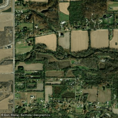
Fall Creek
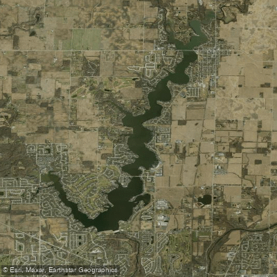
Morse Reservoir
Explore Indiana waters
Top paddling waters
Popular Cities
Loading popular cities...
Explore near Sugar Creek
Access points
Nearby waters
More in Indiana

Smarter Paddling Starts in the App.
Paddleways gives you everything you need to plan smarter, paddle better, and own every trip from first launch to takeout.