East Fork Whitewater River
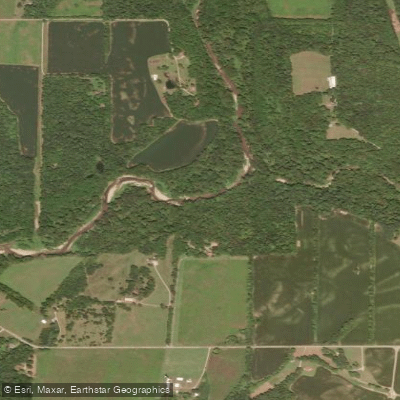
East Fork Whitewater River
- Boat Ramps
- 1
- Access Points
- 6
- Campsites
- 11
The East Fork Whitewater River originates in eastern Indiana and flows southwest, joining the West Fork to form the main stem of the Whitewater River near Brookville, Indiana. This scenic waterway drains portions of Wayne, Union, and Franklin counties before entering Ohio for a brief 8-mile stretch. Paddlers can enjoy several distinct sections ranging from 7 to 17 miles in length.
The upper reaches from Connersville to Laurel offer a gentle Class I-II experience suitable for beginners, with occasional riffles and small rapids. Below Brookville Lake, a short 2-mile tailwater section provides more technical paddling. The lower river widens as it flows through farmland and forests. Overall difficulty ranges from flatwater to Class II, making the East Fork accessible to paddlers of various skill levels. However, consistent effort is required on longer trips.
The river is typically paddled from spring through fall, with summer and early autumn offering the most reliable water levels and pleasant conditions.
Notable wildlife includes great blue herons, bald eagles, and various fish species. The corridor supports diverse riparian habitats and hardwood forests.
Key landmarks include the historic towns of Metamora and Brookville, as well as Whitewater Memorial State Park. Popular access points include Connersville, Laurel, Metamora, and Brookville in Indiana, as well as West Harrison in Ohio.
The East Fork played an important role in early transportation and commerce, with remnants of the Whitewater Canal still visible along portions of the river.
Safety considerations include checking water levels, watching for strainers, and being prepared for longer trips with limited access points. Multi-day adventures are possible by combining sections or linking with the main Whitewater River. Camping options exist at Whitewater Memorial State Park and along some stretches of the lower river.
The East Fork Whitewater River offers paddlers a chance to explore the natural beauty and history of southeastern Indiana and southwestern Ohio through a range of enjoyable river experiences. Its clean waters, scenic landscapes, and cultural attractions make it a worthy destination for canoeists and kayakers in the region.
Water access, boat ramps & amenities
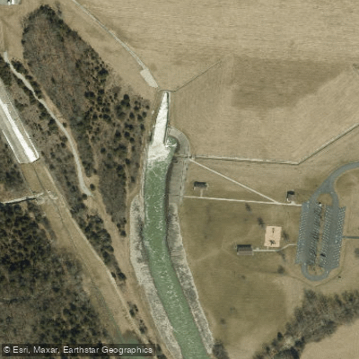
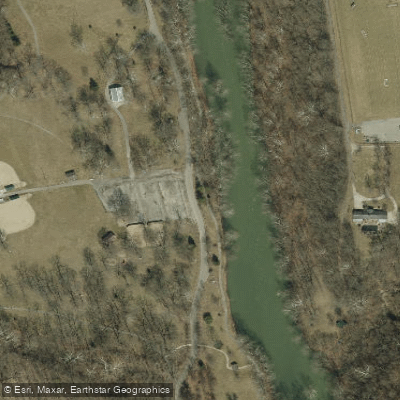
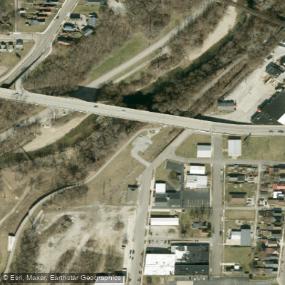
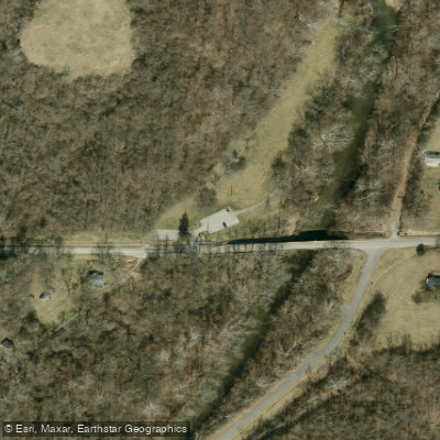
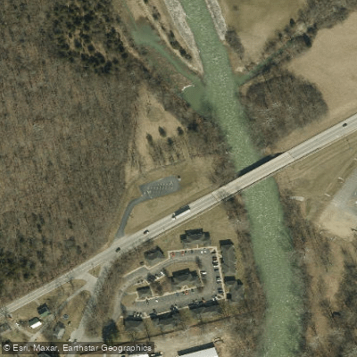
Learn how to get on East Fork Whitewater River. Uncover great paddling access points, boat ramps, and all the facilities you need for an unforgettable day on the water. Some locations shown may border or include private property. Always check property boundaries and applicable regulations before visiting. PaddleWays's Public & Private Land layer can help you plan your access with confidence.
Paddle smarter with real-time insights
Whether you're en route and conditions shift or you're looking for the best spot based on current flows, we enable you to make informed decisions on the fly.








Find Places to Paddle

Over 400,000 Places to Paddle
Every user gets free access to launch points, boat ramps, and public property parcels.


Water and weather conditions (10 day forecast)
See the best times to paddle East Fork Whitewater River and check the forecast before you go.
EAST FORK WHITEWATER RIVER AT ABINGTON, IN
All Flow Stations
Paddling near East Fork Whitewater River
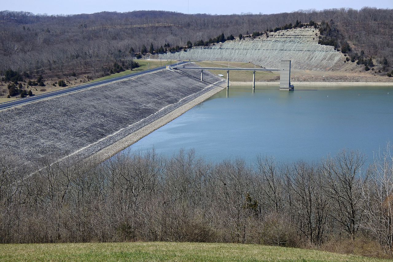
Brookville Lake

White River
Big Blue River
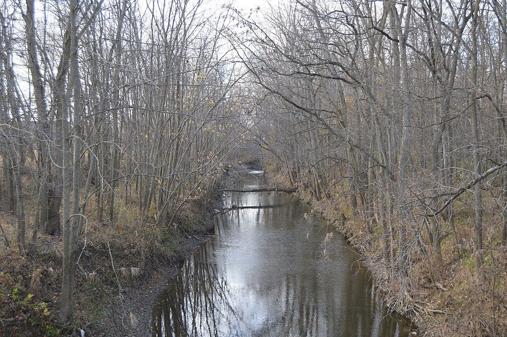
Stillwater River
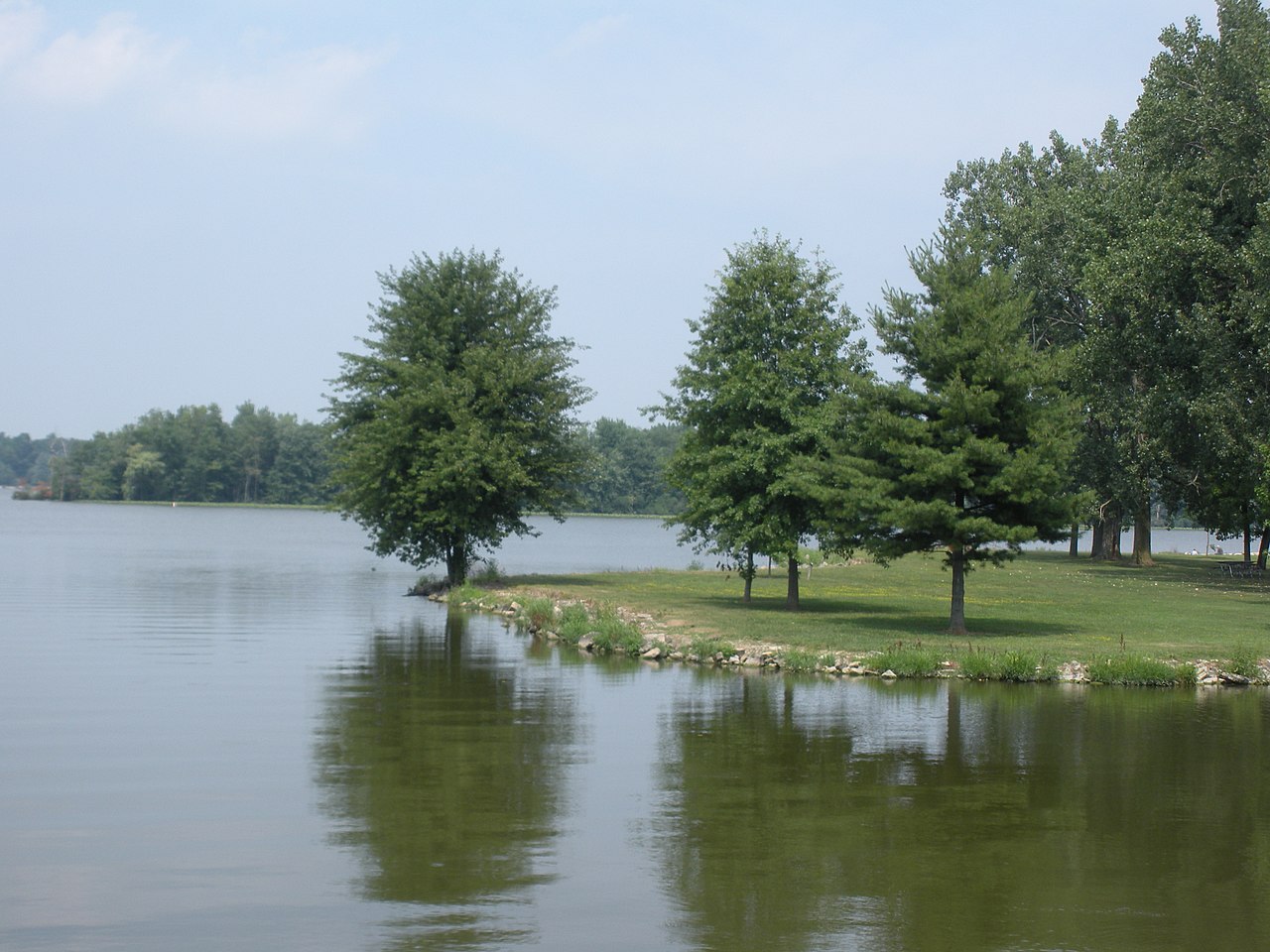
Lake Loramie

Ohio River
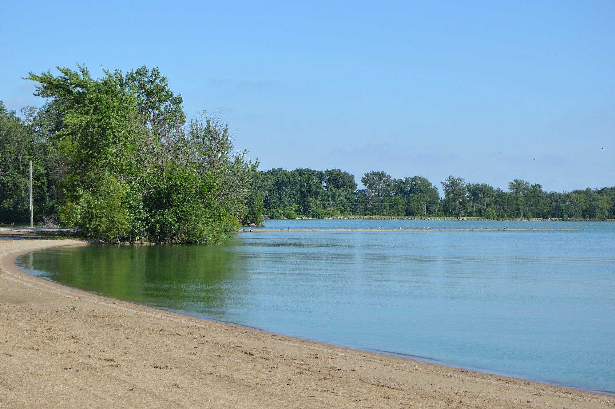
Grand Lake
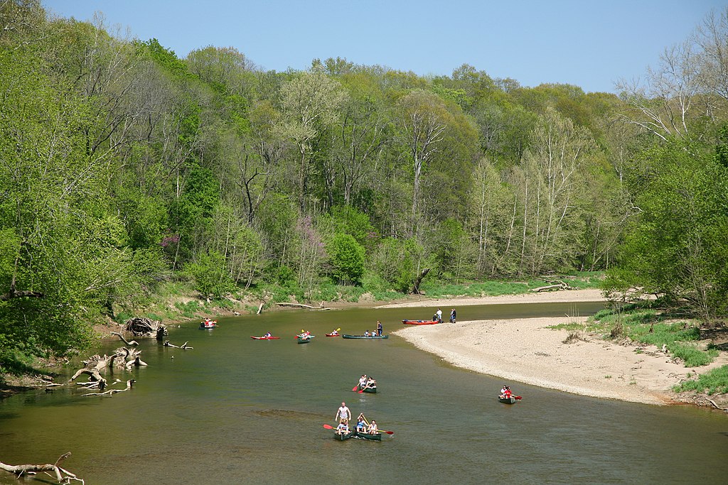
Sugar Creek
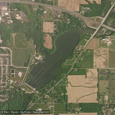
Middle Fork Reservoir
Explore Indiana waters
Top paddling waters
Popular Cities
Loading popular cities...
Explore near East Fork Whitewater River
Access points
- Treaty Line Boat Ramp
- Brookville Tailwater Recreation Area Access
- Brookville Tailwater Brookville Town Park Access
- Richmond Park Access
- Test Road Access
- Brookville Tailwater Fisherman's Access Access
- E Fk/e Fk Whitewater Riv Bridge
- Whitewater Creek Bridge
- E Fork Whitewater River Bridge
- E Fork Whitewater River Bridge
- Br E Fk Whitewater River Bridge
- East Fork Whitewater R Bridge
- All 193 spots
Nearby waters
More in Indiana

Smarter Paddling Starts in the App.
Paddleways gives you everything you need to plan smarter, paddle better, and own every trip from first launch to takeout.