Lake Freeman
Lake Freeman
- Boat Ramps
- 4
- Access Points
- 5
- Campsites
- 7
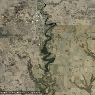
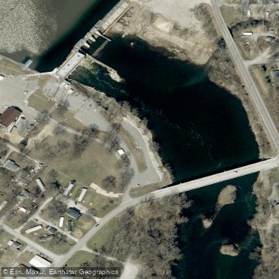
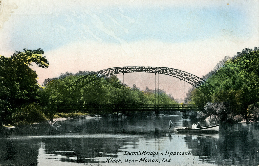
Lake Freeman is a 12,800-acre reservoir located in Monticello, Indiana. Created in 1925 by the construction of the Oakdale Dam on the Tippecanoe River, the lake stretches 10 miles long with 50 miles of shoreline. Its maximum depth reaches 60 feet.
The lake offers excellent opportunities for paddling, with generally calm waters suitable for canoes and kayaks. Water levels are typically adequate for paddling throughout the summer due to releases from Oakdale Dam. The lake features numerous islands and coves to explore.
Access points include a put-in site southeast of the W CR 725 E bridge, with parking for several vehicles. Paddlers can also launch from various public boat ramps around the lake.
Lake Freeman is known for its fishing, with species including largemouth bass, crappie, bluegill, and catfish. The current Indiana state records for white bass and hybrid striped bass were caught here. Wildlife enthusiasts may spot bald eagles around the lake.
The shoreline is fairly developed, with many cabins and homes, particularly near the dam. However, paddlers can find more secluded areas further from developed zones. The lake's sand bottom contributes to generally clear water conditions.
Amenities for paddlers include marinas, campgrounds, and restaurants along the shoreline. The lake hosts various events throughout the year, including fishing tournaments and boat races.
Water temperatures are typically comfortable for paddling from late spring through early fall. However, paddlers should be aware of motorized boat traffic, especially during peak summer weekends.
Water access, boat ramps & amenities
Learn how to get on Lake Freeman. Uncover great paddling access points, boat ramps, and all the facilities you need for an unforgettable day on the water. Some locations shown may border or include private property. Always check property boundaries and applicable regulations before visiting. PaddleWays's Public & Private Land layer can help you plan your access with confidence.
Paddle smarter with real-time insights
Whether you're en route and conditions shift or you're looking for the best spot based on current flows, we enable you to make informed decisions on the fly.








Find Places to Paddle

Over 400,000 Places to Paddle
Every user gets free access to launch points, boat ramps, and public property parcels.


Water and weather conditions (10 day forecast)
See the best times to paddle Lake Freeman and check the forecast before you go.
TIPPECANOE RIVER BELOW OAKDALE DAM, IN
All Flow Stations
Paddling near Lake Freeman
Tippecanoe River
Iroquois River
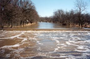
Eel River
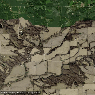
Wabash River
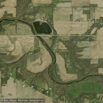
Wildcat Creek
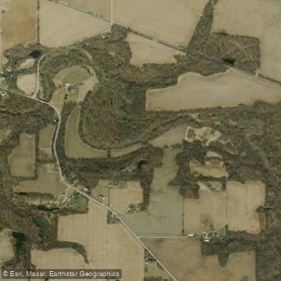
South Fork Wildcat Creek
Sugar Creek
Big Pine Creek
Lake Cicott
Explore Indiana waters
Top paddling waters
Popular Cities
Loading popular cities...
Explore near Lake Freeman
Access points
Nearby waters
More in Indiana

Smarter Paddling Starts in the App.
Paddleways gives you everything you need to plan smarter, paddle better, and own every trip from first launch to takeout.