South Fork Wildcat Creek
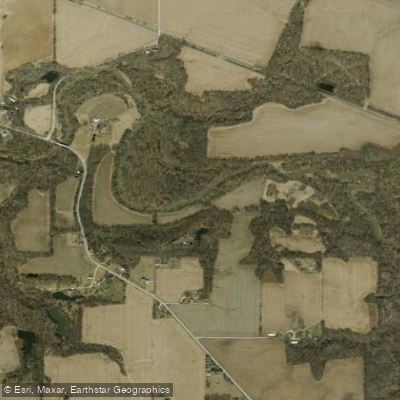
South Fork Wildcat Creek
- Boat Ramps
- 1
- Access Points
- 6
- Campsites
- 3
The South Fork Wildcat Creek originates in central Indiana and flows generally westward, joining the Middle Fork and North Fork to form the main stem of Wildcat Creek, a tributary of the Wabash River. This waterway drains portions of Tippecanoe and Carroll counties, passing through a landscape of rolling farmland interspersed with glacial features.
Paddling opportunities on the South Fork range from short day trips to longer excursions. The most popular section runs 4.3 miles from the Monitor Access Site to First Wildcat County Park, typically taking 2-3 hours to float. This stretch offers reliable water levels and short riffle sections, making it one of the better canoeing segments in the valley. Upstream, a 10-mile section from Dayton to Monitor provides a longer paddling option, though water levels can be too shallow in summer months.
The South Fork is primarily a flatwater stream suitable for beginners, with difficulty ranging from flatwater to Class I depending on flow conditions. Some Class II rapids may be encountered at higher water levels. The creek is best paddled in spring or after periods of rain, as summer often brings low water conditions that can make navigation challenging, especially in upstream sections.
The creek corridor supports a mix of riparian vegetation and farmland. Paddlers may spot glacial kames (mounds) in the valley and encounter high clay banks along certain stretches. Wildlife typical of central Indiana waterways can be observed. Key landmarks include the confluence with Middle Fork shortly after the Monitor put-in, as well as several bridge crossings. The historic town of Dayton provides a starting point for longer trips.
Primary access points include Dayton (near State Road 38), Fairfield, the Monitor Access Site (at State Road 26 bridge), and First Wildcat County Park. The city of Lafayette is located a short distance to the west.
The South Fork played a role in early settlement and agricultural development of the region. Today, it offers recreational opportunities while remaining an important part of the local watershed.
Paddlers should be aware of potential logjams and strainers, especially after high water events. Checking current water levels and weather forecasts is advised before embarking on any trip. For those seeking a multi-day adventure, it's possible to combine South Fork paddling with trips on the Middle and North Forks, potentially extending all the way to the Wabash River confluence.
Water access, boat ramps & amenities
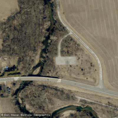
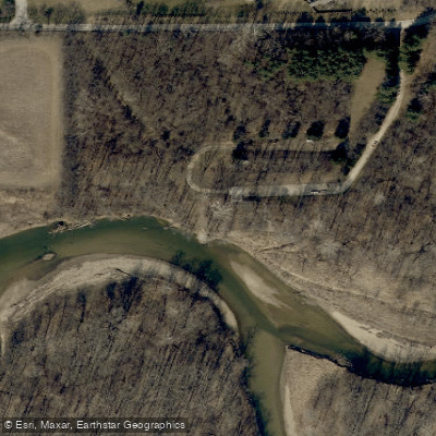
Learn how to get on South Fork Wildcat Creek. Uncover great paddling access points, boat ramps, and all the facilities you need for an unforgettable day on the water. Some locations shown may border or include private property. Always check property boundaries and applicable regulations before visiting. PaddleWays's Public & Private Land layer can help you plan your access with confidence.
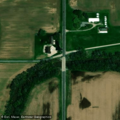
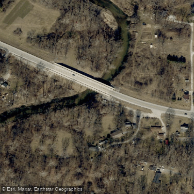
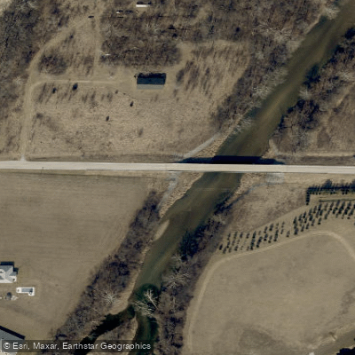
Paddle smarter with real-time insights
Whether you're en route and conditions shift or you're looking for the best spot based on current flows, we enable you to make informed decisions on the fly.








Find Places to Paddle

Over 400,000 Places to Paddle
Every user gets free access to launch points, boat ramps, and public property parcels.


Water and weather conditions (10 day forecast)
See the best times to paddle South Fork Wildcat Creek and check the forecast before you go.
SOUTH FORK WILDCAT CREEK NEAR LAFAYETTE, IN
Paddling near South Fork Wildcat Creek
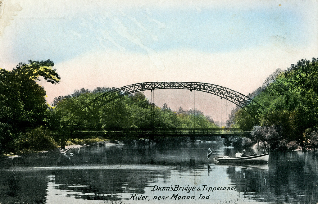
Tippecanoe River
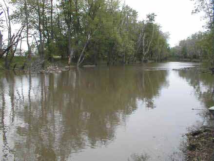
Iroquois River
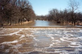
Eel River
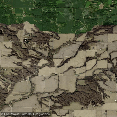
Wabash River
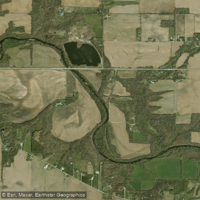
Wildcat Creek
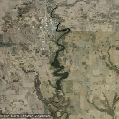
Lake Freeman
Sugar Creek
Big Raccoon Creek
Big Walnut Creek
Explore Indiana waters
Top paddling waters
Popular Cities
Loading popular cities...
Explore near South Fork Wildcat Creek
Access points
- Wildcat Creek Fairfield Park Boat Ramp
- SR 75 Bridge Access
- Monitor Access
- E 100 N Access
- Dayton PAS- Wildcat Creek Access
- Wildcat Park Access
- South Fork Wildcat Creek Bridge
- S Fork Wildcat Creek Bridge
- South Fork Wildcat Creek Bridge
- South Fork Wildcat Creek Bridge
- S Fork Of Wildcat Creek Bridge
- South Fork Wildcat Creek Bridge
- All 147 spots
Nearby waters
More in Indiana

Smarter Paddling Starts in the App.
Paddleways gives you everything you need to plan smarter, paddle better, and own every trip from first launch to takeout.