Laughery Creek
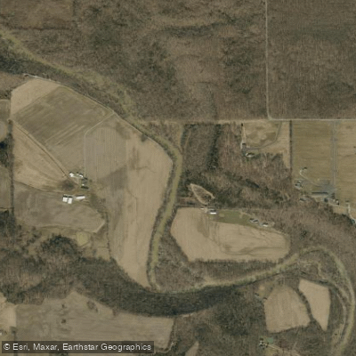
Laughery Creek
- Boat Ramps
- 1
- Access Points
- 2
- Campsites
- 4
Laughery Creek is a scenic 88.6-mile waterway flowing through southeastern Indiana. Originating in northern Ripley County, the creek meanders south and east through picturesque hill country before emptying into the Ohio River about 2 miles south of Aurora, Indiana. Along its course, Laughery Creek passes through Versailles State Park and forms part of the boundary between Ohio and Dearborn Counties.
Paddling opportunities on Laughery Creek range from peaceful flatwater floats to more challenging sections, depending on water levels. The creek is generally considered suitable for beginner to intermediate paddlers, with mostly calm waters punctuated by occasional riffles. The full length can be paddled in sections or as a multi-day trip, with Versailles State Park offering a convenient midway camping option.
Spring and early summer typically offer the best paddling conditions when water levels are higher. Late summer and fall can still be enjoyable but may require more portaging in shallow areas. The creek winds through a mix of forested hills and farmland, providing habitat for diverse wildlife including great blue herons, bald eagles, and various fish species.
Notable landmarks along Laughery Creek include the historic Busching Covered Bridge in Ripley County and the Old State Road 56 truss bridge near the Ohio River confluence. Paddlers can also explore Laughery Island at the creek's mouth. Access points are available in several locations, with popular put-ins near Versailles and take-outs near Aurora.
Laughery Creek holds significant historical importance, named after Lochry's Defeat - a 1781 Revolutionary War skirmish that occurred at its mouth. Colonel Archibald Lochry and his Pennsylvania militiamen were ambushed here while traveling to join George Rogers Clark's campaign against the British.
Safety considerations include checking water levels before paddling, as the creek can become quite shallow during dry periods. Paddlers should also be aware of potential strainers and log jams, especially after high water events.
The State of Indiana has recommended Laughery Creek for study for inclusion in the State Natural, Scenic, and Recreational River System, highlighting its ecological and recreational value. For those seeking a longer adventure, a multi-day trip from Versailles to the Ohio River confluence offers a comprehensive experience of Laughery Creek's beauty and history. This peaceful waterway provides a perfect escape into the natural and cultural heritage of southeastern Indiana.
Water access, boat ramps & amenities
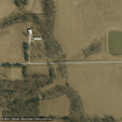
Learn how to get on Laughery Creek. Uncover great paddling access points, boat ramps, and all the facilities you need for an unforgettable day on the water. Some locations shown may border or include private property. Always check property boundaries and applicable regulations before visiting. PaddleWays's Public & Private Land layer can help you plan your access with confidence.
Paddle smarter with real-time insights
Whether you're en route and conditions shift or you're looking for the best spot based on current flows, we enable you to make informed decisions on the fly.








Find Places to Paddle

Over 400,000 Places to Paddle
Every user gets free access to launch points, boat ramps, and public property parcels.


Water and weather conditions (10 day forecast)
See the best times to paddle Laughery Creek and check the forecast before you go.
No forecast data available.
Paddling near Laughery Creek

Ohio River
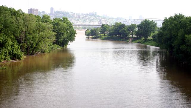
Licking River
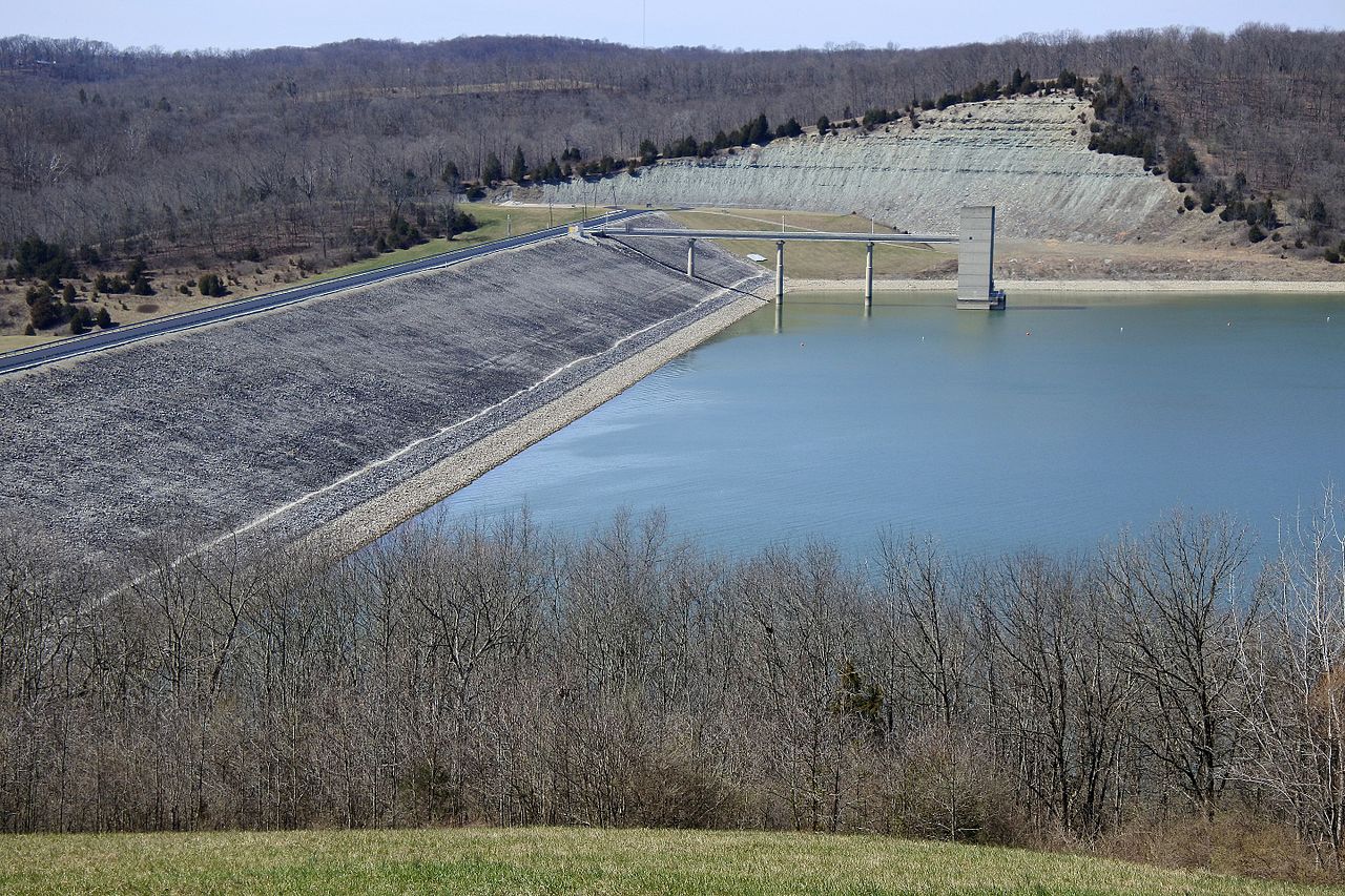
Brookville Lake
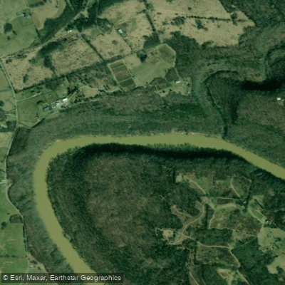
Kentucky River
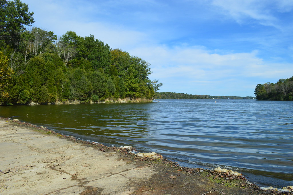
Cowan Lake
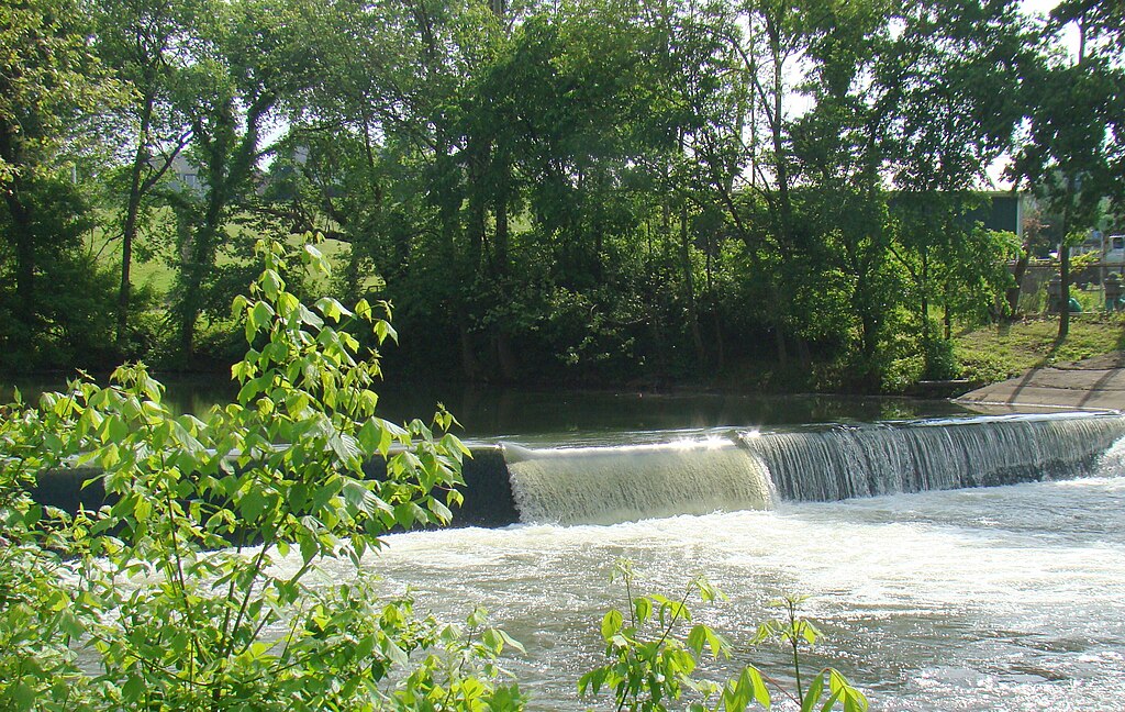
Elkhorn Creek
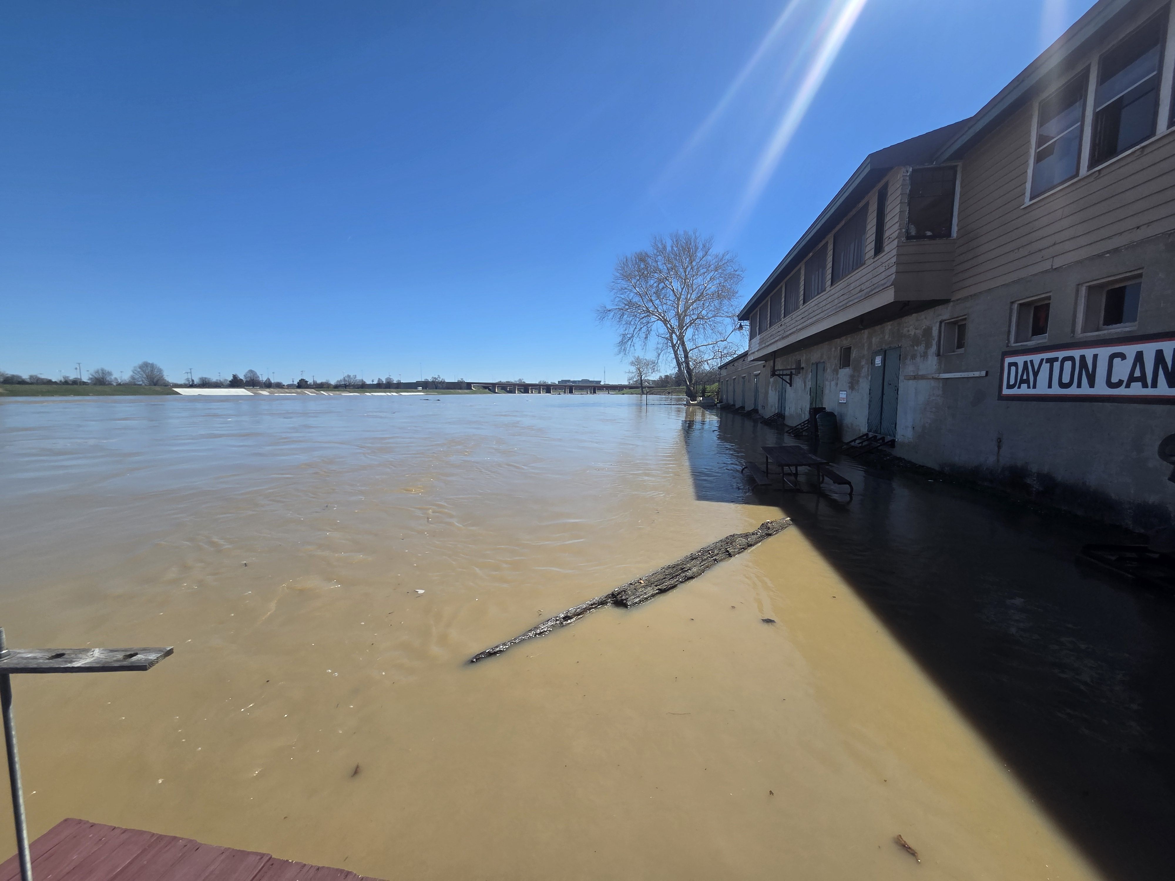
Great Miami River
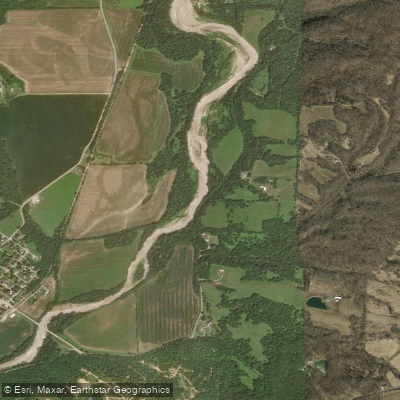
Whitewater River
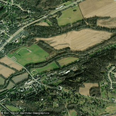
Little Miami River
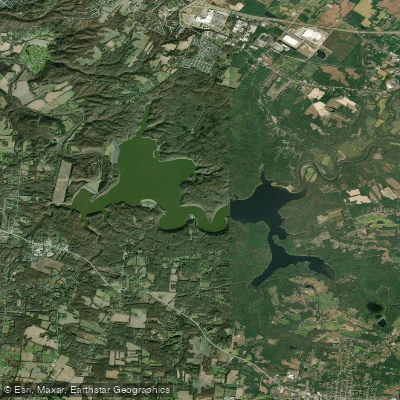
William H Harsha Lake
Explore Indiana waters
Top paddling waters
Popular Cities
Loading popular cities...
Explore near Laughery Creek
Access points
Nearby waters
More in Indiana

Smarter Paddling Starts in the App.
Paddleways gives you everything you need to plan smarter, paddle better, and own every trip from first launch to takeout.