Whitewater River
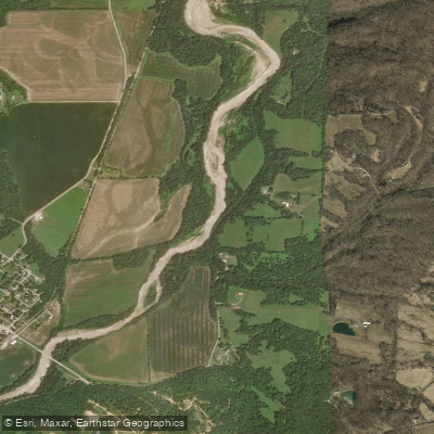
Whitewater River
- Boat Ramps
- 3
- Access Points
- 5
- Campsites
- 8
The Whitewater River originates in eastern Indiana and flows southeast, eventually crossing into Ohio before joining the Great Miami River. Its main stem forms at the confluence of its West and East Forks near Brookville, Indiana. The river's watershed encompasses parts of nine counties across Indiana and Ohio.
Paddlers can enjoy a variety of experiences on the Whitewater, from calm flatwater stretches to occasional Class II rapids. The most popular sections for canoeing and kayaking are found between Laurel and Brookville in Indiana. A 7-mile trip from Laurel to Metamora offers an easy 3-hour float suitable for beginners, while more ambitious paddlers can continue an additional 10 miles to Brookville for a full-day adventure.
The river's character changes seasonally, with spring typically bringing higher water levels that increase both flow and difficulty. Summer and early fall provide more relaxed conditions ideal for family outings and fishing trips. The Whitewater is generally rated Class I-II, though some tributary creeks like Elkhorn Creek can reach Class III-IV during high water.
Sycamores and silver maples line much of the riverbank, providing habitat for great blue herons, bald eagles, and various waterfowl. Smallmouth bass and rock bass are abundant, making the Whitewater a popular destination for anglers.
Key landmarks include the historic Metamora Aqueduct, part of the Whitewater Canal State Historic Site, and Brookville Lake, formed by damming the East Fork. The river played a significant role in early Indiana's development, powering mills and facilitating trade via the Whitewater Canal in the 19th century.
Primary access points are found in Laurel, Metamora, and Brookville, Indiana, as well as near Harrison, Ohio. Several outfitters offer rentals and shuttle services, with Morgan's Canoe Rental in Brookville being a popular choice.
While mostly gentle, the Whitewater can pose hazards during high water or after storms. Paddlers should be aware of potential strainers and check water levels before their trip. A fishing license is required for anglers in both states.
For those seeking a multi-day experience, primitive camping is available at designated sites along the river, allowing for extended trips of up to 34 miles from Metamora, Indiana to Elizabethtown, Ohio. This longer journey showcases the river's transition from Indiana's rolling hills to Ohio's flatter terrain.
Water access, boat ramps & amenities
Learn how to get on Whitewater River. Uncover great paddling access points, boat ramps, and all the facilities you need for an unforgettable day on the water. Some locations shown may border or include private property. Always check property boundaries and applicable regulations before visiting. PaddleWays's Public & Private Land layer can help you plan your access with confidence.
Whitewater River, Riverbank Kayaking Launch
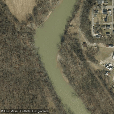
Brookville Family Dollar Public Access
Paddle smarter with real-time insights
Whether you're en route and conditions shift or you're looking for the best spot based on current flows, we enable you to make informed decisions on the fly.








Find Places to Paddle

Over 400,000 Places to Paddle
Every user gets free access to launch points, boat ramps, and public property parcels.


Water and weather conditions (10 day forecast)
See the best times to paddle Whitewater River and check the forecast before you go.
WHITEWATER RIVER NEAR ECONOMY, IN
All Flow Stations
Paddling near Whitewater River
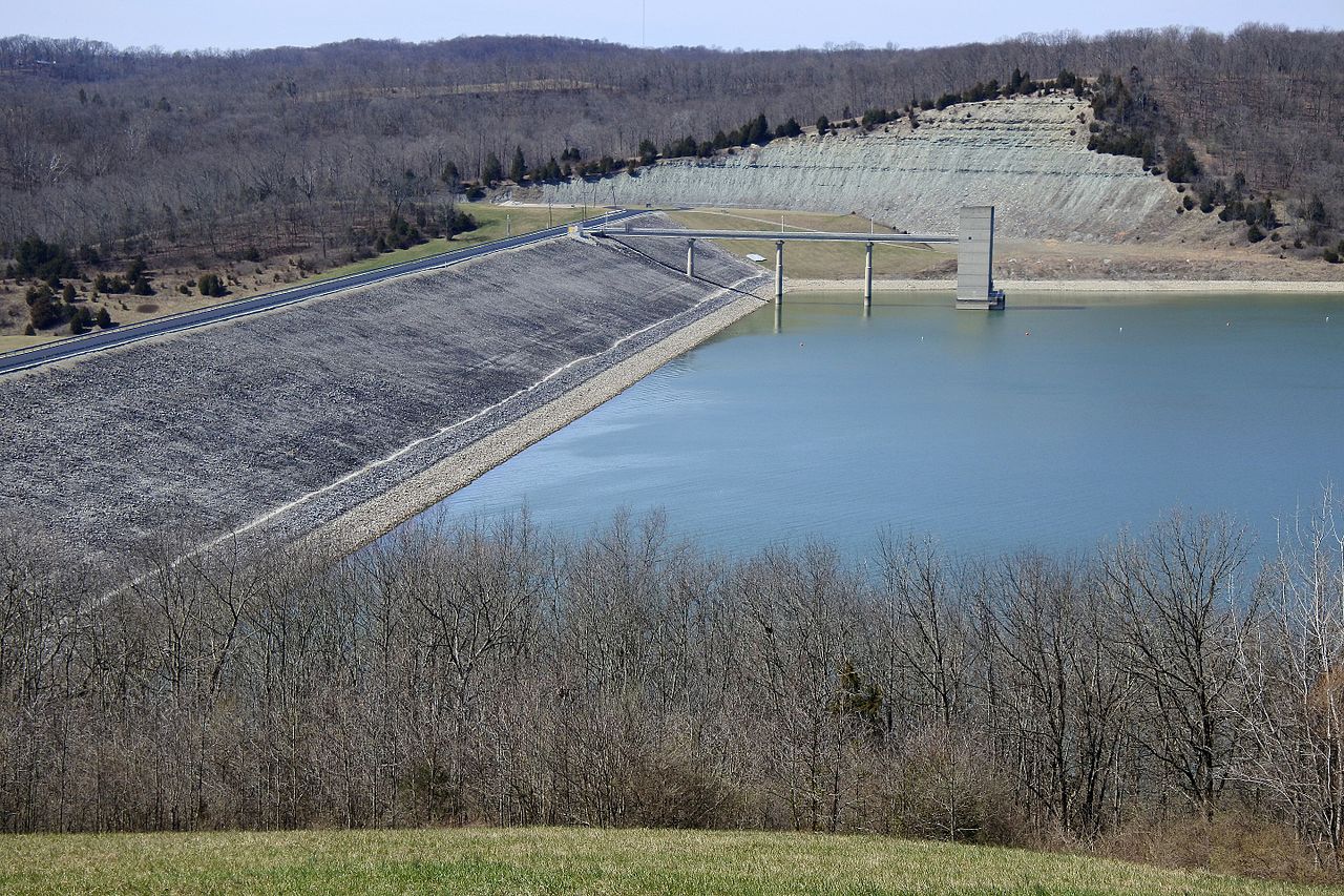
Brookville Lake

White River
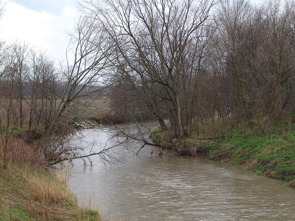
Big Blue River
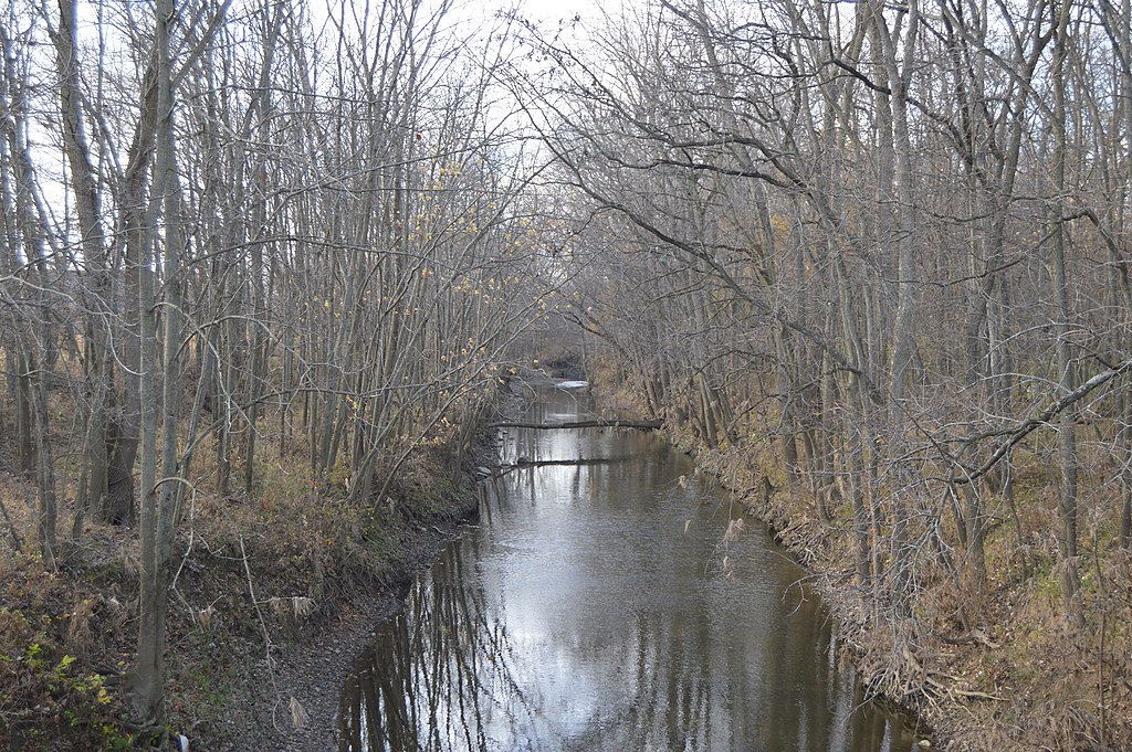
Stillwater River
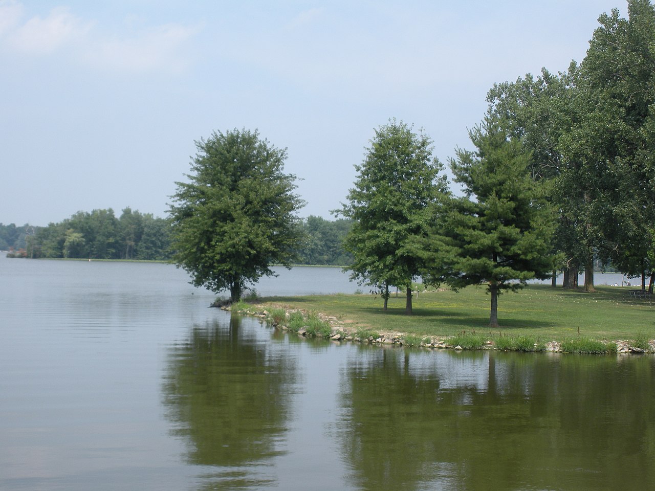
Lake Loramie

Ohio River
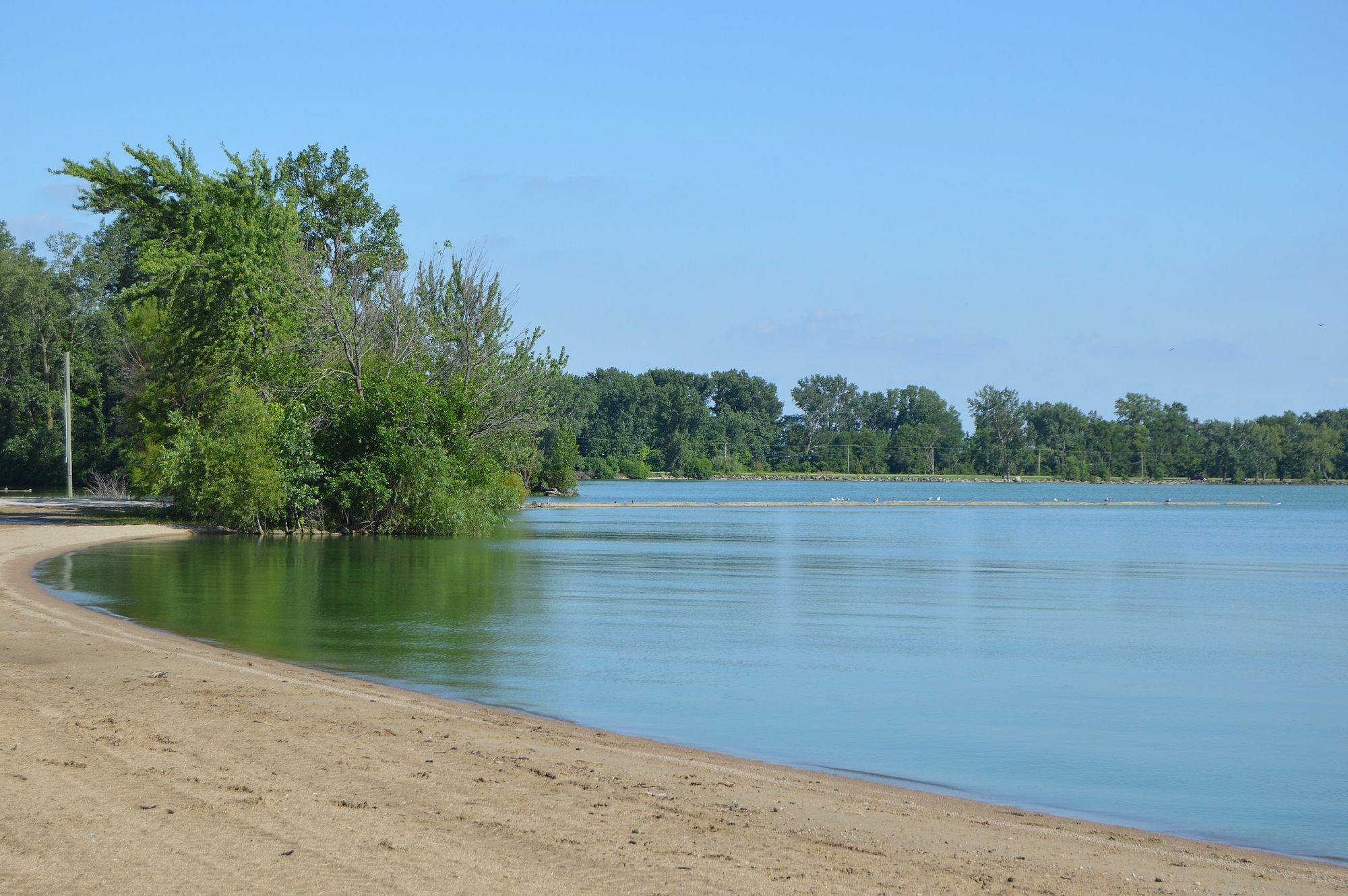
Grand Lake
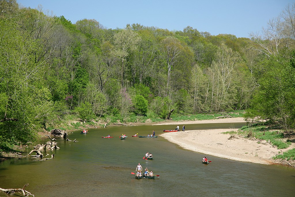
Sugar Creek
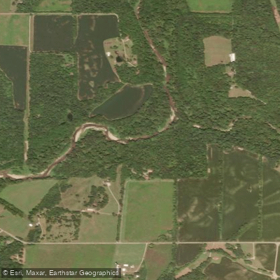
East Fork Whitewater River
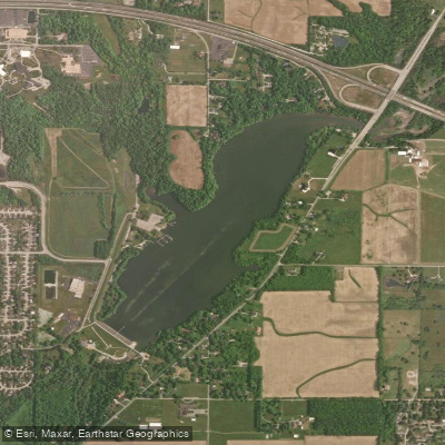
Middle Fork Reservoir
Explore Indiana waters
Top paddling waters
Popular Cities
Loading popular cities...
Explore near Whitewater River
Access points
- Whitewater River Boat Ramp
- Whitewater River Access
- Connersville Boat Ramp
- Whitewater River Boat Ramp
- Brookville Family Dollar Public Access
- Whitewater River Bridge
- Whitewater River Bridge
- Whitewater River Bridge
- Whitewater River Bridge
- Whitewater River Bridge
- Whitewater River Bridge
- Whitewater River Bridge
- All 316 spots
Nearby waters
More in Indiana

Smarter Paddling Starts in the App.
Paddleways gives you everything you need to plan smarter, paddle better, and own every trip from first launch to takeout.