Little Miami River
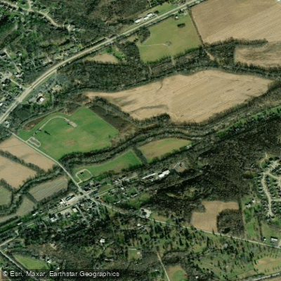
Little Miami River
- Boat Ramps
- 33
- Access Points
- 41
- Campsites
- 35
The Little Miami River is a waterway that flows for approximately 111 miles through southwestern Ohio before joining the Ohio River. As one of the first ten rivers to be designated as a State and National Scenic River, it offers paddlers a remarkable journey through varied landscapes and ecosystems.
The river's personality changes as it winds its way southward. The upper section near Dayton is characterized by narrow, fast-flowing water with plenty of twists and turns, providing an exciting experience for more adventurous paddlers. As the river progresses, it opens up into a wider flood plain dotted with islands and beaches, offering a more relaxed paddling experience.
With difficulty levels ranging from flatwater to Class II rapids, the Little Miami caters to a wide range of skill levels. Beginners can enjoy peaceful floats on the lower sections, while more experienced paddlers can challenge themselves on the swifter upper reaches. However, it's important to note that the Clifton Gorge section, while scenic, is off-limits to paddlers due to its challenging nature and to preserve the natural environment.
Spring and early summer typically offer the best water levels for paddling, though the river is generally navigable year-round. Fall can be particularly beautiful as the surrounding foliage changes color, but paddlers should be prepared for cooler temperatures.
The Little Miami River valley is home to a rich diversity of plant and animal life. Over 340 species of wildflowers line its banks, and the river supports 94 of the 170 fish species found in Ohio. It serves as an important nursery ground for sport fish and is valuable for spawning commercial fish species of the Ohio River.
Notable landmarks along the river include the Fort Ancient State Memorial, home to impressive earthworks built by the ancient Hopewell culture. The river flows through John Bryan State Park, offering stunning views of limestone cliffs and providing excellent hiking opportunities.
Several towns provide convenient access points, including Yellow Springs, Loveland, and Milford. These communities offer amenities for paddlers and serve as popular put-in or take-out locations.
Safety is paramount on the Little Miami. While generally calm, the river can become swift after heavy rains. Paddlers should always wear life jackets and be aware of potential hazards such as low-head dams and strainers.
For those seeking a multi-day adventure, the entire 86-mile paddleable length can be broken into six sections, each ranging from 11 to 20 miles. This allows for a leisurely exploration of the river's changing character and the surrounding landscape.
Whether you're looking for a quick afternoon float or an extended river journey, the Little Miami offers a paddling experience that combines natural beauty, rich history, and diverse ecosystems, making it a true gem of Ohio's waterways.
Water access, boat ramps & amenities
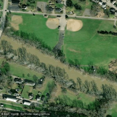
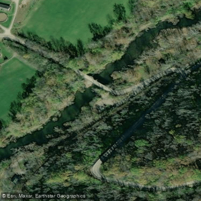
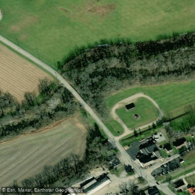
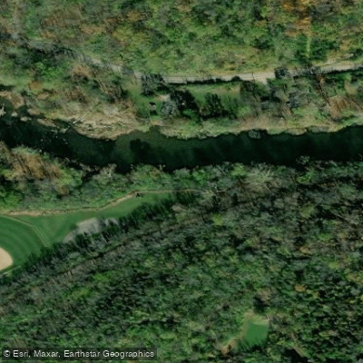
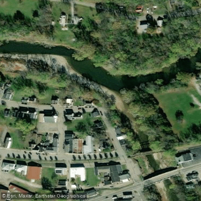
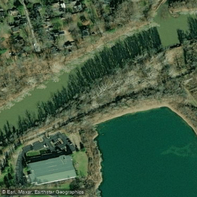
Learn how to get on Little Miami River. Uncover great paddling access points, boat ramps, and all the facilities you need for an unforgettable day on the water. Some locations shown may border or include private property. Always check property boundaries and applicable regulations before visiting. PaddleWays's Public & Private Land layer can help you plan your access with confidence.
Paddle smarter with real-time insights
Whether you're en route and conditions shift or you're looking for the best spot based on current flows, we enable you to make informed decisions on the fly.








Find Places to Paddle

Over 400,000 Places to Paddle
Every user gets free access to launch points, boat ramps, and public property parcels.


Water and weather conditions (10 day forecast)
See the best times to paddle Little Miami River and check the forecast before you go.
Little Miami River near Oldtown OH
All Flow Stations
Paddling near Little Miami River
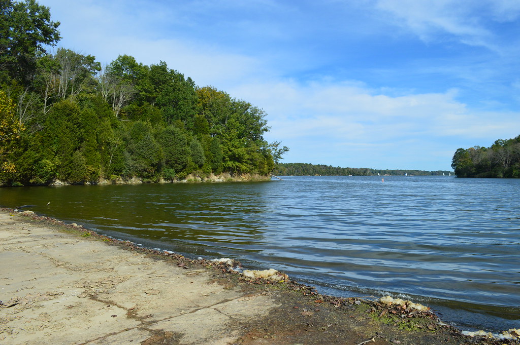
Cowan Lake
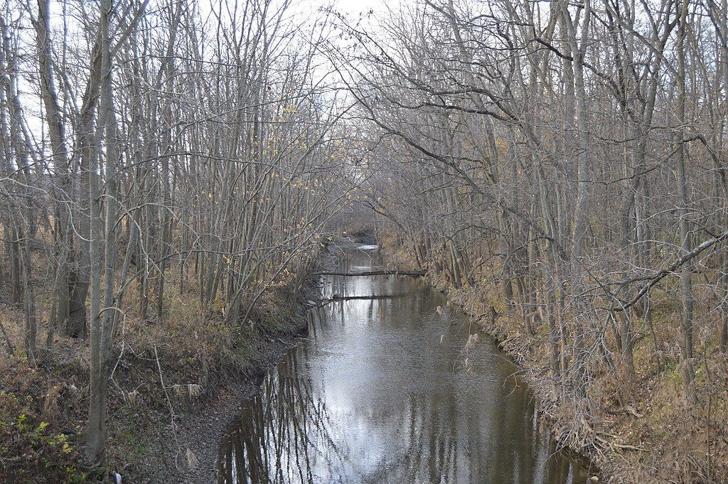
Stillwater River
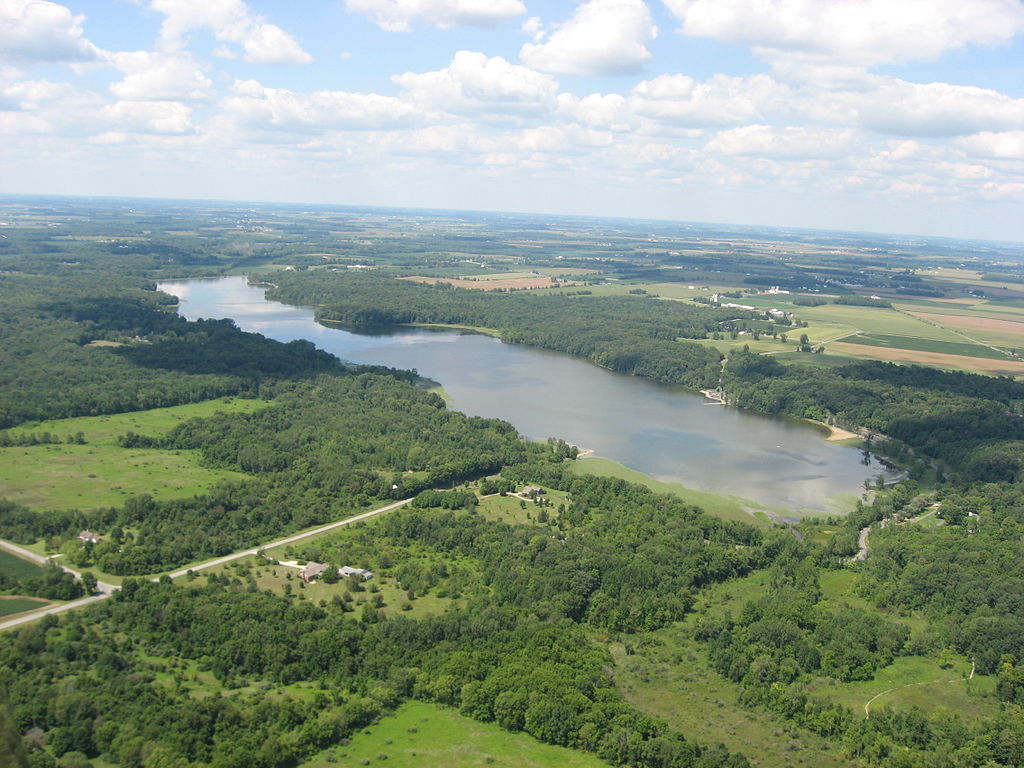
Kiser Lake

Ohio River
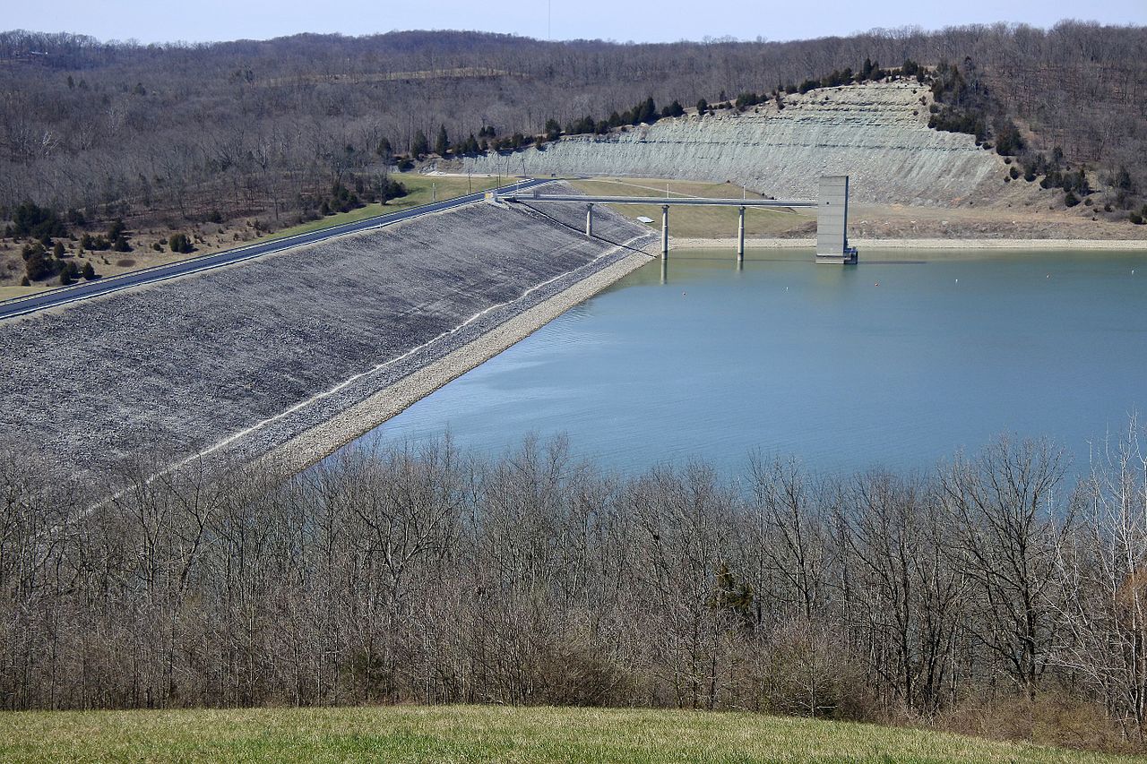
Brookville Lake
Rocky Fork Lake
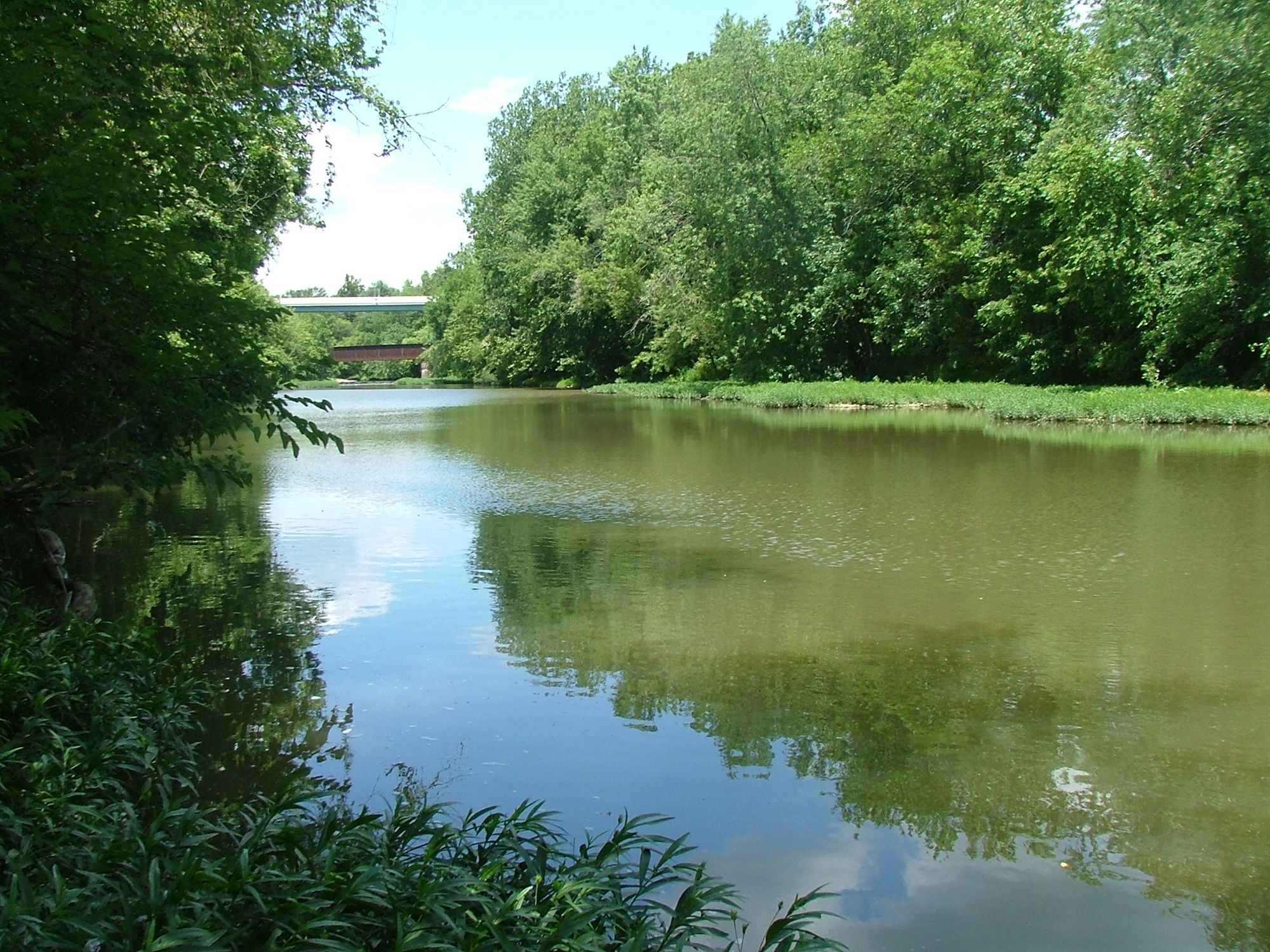
Paint Creek
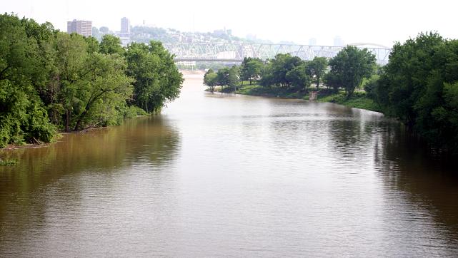
Licking River
Deer Creek
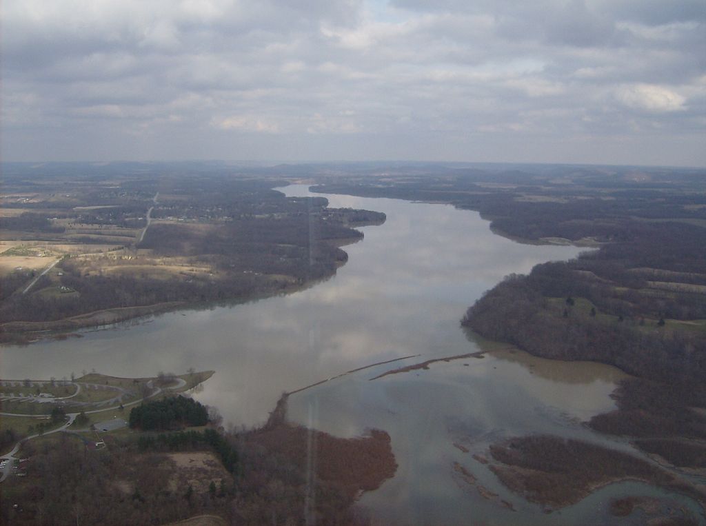
Rocky Fork
Explore Kentucky waters
Top paddling waters
Popular Cities
Loading popular cities...
Explore near Little Miami River
Access points
- Oregonia Scenic River Boat Ramp
- Little Miami State Forest Preserve Boat Ramp
- Narrows Reserve Nature Center Boat Ramp
- Graf Mill Road Boat Ramp
- Rogers Park Boat Ramp
- Bellbrook Canoe Rental Boat Ramp
- Fairground Road Boat Ramp
- Batavia Road Boat Ramp
- Glen Thompson State Reserve Boat Ramp
- Mill Street Boat Ramp
- Constitution Park Boat Ramp
- Old 3C Hwy Boat Ramp
- All 436 spots
Nearby waters
More in Kentucky

Smarter Paddling Starts in the App.
Paddleways gives you everything you need to plan smarter, paddle better, and own every trip from first launch to takeout.