Flatrock River
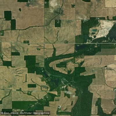
Flatrock River
- Boat Ramps
- 4
- Access Points
- 17
- Campsites
- 9
The Flatrock River is a scenic waterway that meanders through central Indiana, originating in the rich farmlands of Henry County and flowing approximately 88 miles southwest before joining the Driftwood River to form the East Fork of White River near Columbus. This picturesque river offers paddlers a diverse range of experiences, from peaceful flat water to occasional Class II rapids, making it suitable for both beginners and intermediate paddlers.
The river is divided into several notable sections, each with its own character. The upper reaches, including the popular 6.8-mile stretch from Old U.S. Highway 421 to Conns Creek near St. Paul, feature a mix of Class I and II rapids with occasional Class III features. This section is ideal for intermediate paddlers looking for a bit of excitement. The lower sections, particularly the 23-mile stretch from north of Norristown to Columbus, offer a more relaxed paddling experience through serene farmland landscapes.
Water levels play a crucial role in the Flatrock River's paddling conditions. The USGS gauge at St. Paul is a reliable indicator, with 397 cfs being a known good flow for the upper sections. For an enjoyable trip on the lower reaches, a minimum of 200 cfs is recommended. Spring and early summer typically offer the most consistent water levels, though the river can be paddled year-round with proper precautions.
The Flatrock River flows through a narrow wooded corridor for much of its length, providing a stark contrast to the surrounding agricultural landscape. This riparian zone supports a diverse ecosystem, home to various bird species, deer, and occasional river otters. In the fall, the changing colors of the trees lining the banks create a spectacular backdrop for paddling trips.
Several access points and nearby towns make the Flatrock River easily accessible. Key put-in locations include the Old U.S. Highway 421 bridge, State Road 9 bridge near Norristown, and Owens Bend Park just north of Columbus. The river passes near communities like St. Paul, Rushville, and Columbus, offering convenient options for supplies and lodging.
Historically, the Flatrock River played a significant role in early Indiana settlement, with numerous mills once lining its banks to serve Hoosier pioneers. Today, paddlers can still spot remnants of this industrial heritage along certain stretches of the river. For those seeking a multi-day adventure, the full 88-mile journey from Henry County to Columbus offers an immersive experience of the Flatrock River's changing character. This trip typically takes 3-4 days, with ample opportunities for riverside camping. However, paddlers should be aware of private property boundaries and utilize designated camping areas where available.
Safety considerations include being prepared for changing water levels, watching for strainers and low-head dams, and respecting private property along the banks. As with any river trip, wearing a personal flotation device is essential. The Flatrock River provides a unique blend of natural beauty, mild whitewater, and historical significance, making it a hidden gem for paddlers in Indiana. Whether you're looking for a short day trip or an extended journey, the Flatrock offers a paddling experience that showcases the diverse landscapes of the Hoosier State.
Water access, boat ramps & amenities
Learn how to get on Flatrock River. Uncover great paddling access points, boat ramps, and all the facilities you need for an unforgettable day on the water. Some locations shown may border or include private property. Always check property boundaries and applicable regulations before visiting. PaddleWays's Public & Private Land layer can help you plan your access with confidence.
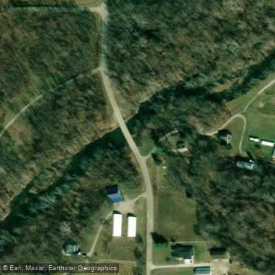
Flatrock River Access
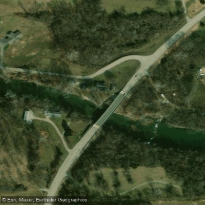
Highway 9 Access
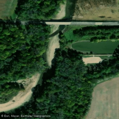
Owen's Bend County Park Access
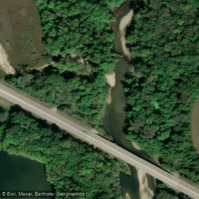
Flatrock River Access
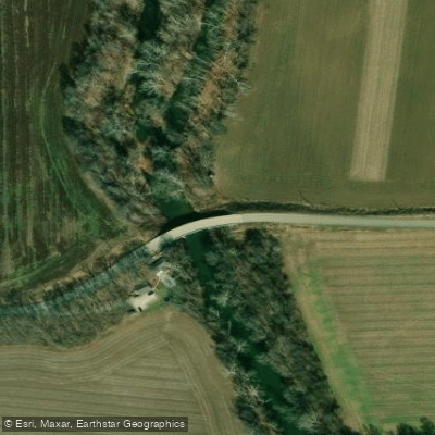
Flatrock River Access
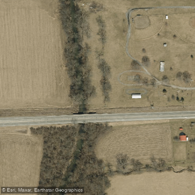
Lewisville Community Park Access
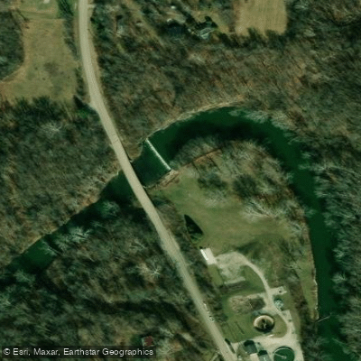
Greensburg Access
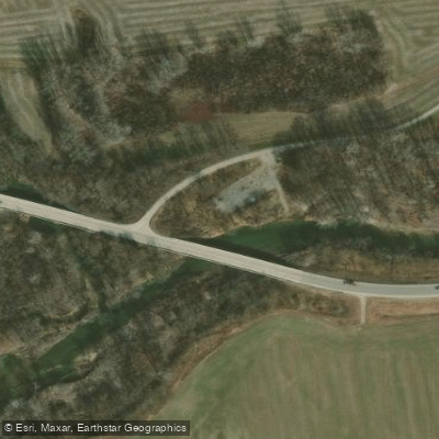
Flat Rock River Access
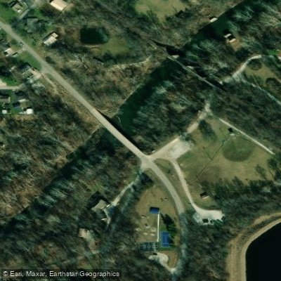
Flatrock River Access
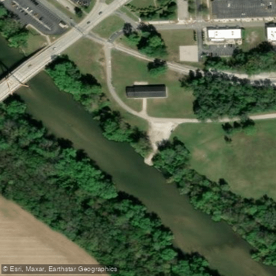
Columbus Access
Paddle smarter with real-time insights
Whether you're en route and conditions shift or you're looking for the best spot based on current flows, we enable you to make informed decisions on the fly.








Find Places to Paddle

Over 400,000 Places to Paddle
Every user gets free access to launch points, boat ramps, and public property parcels.


Water and weather conditions (10 day forecast)
See the best times to paddle Flatrock River and check the forecast before you go.
FLATROCK RIVER AT COLUMBUS, IN
All Flow Stations
Paddling near Flatrock River
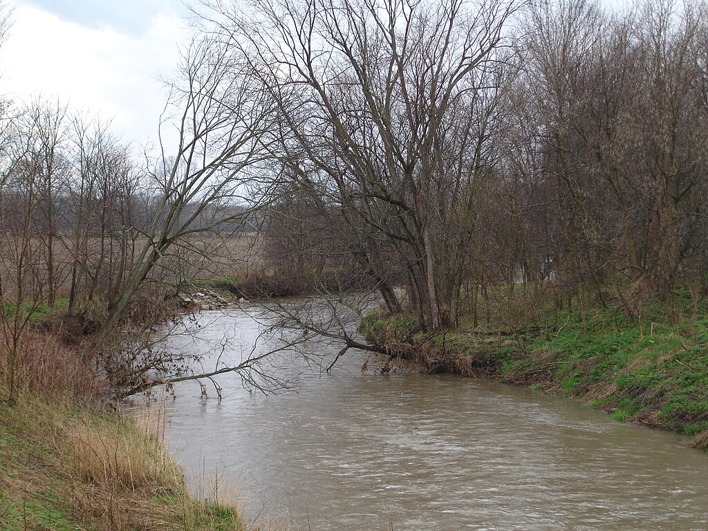
Big Blue River
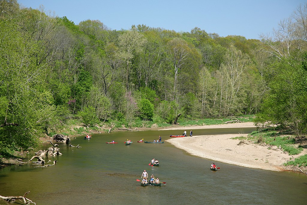
Sugar Creek

White River
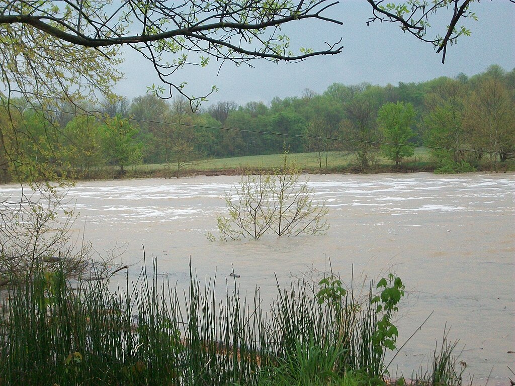
East Fork White River
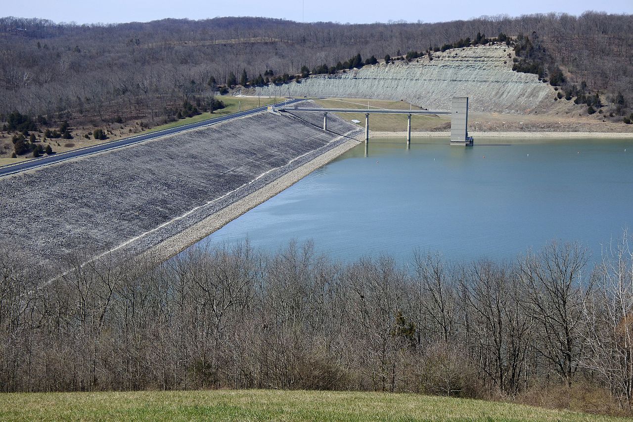
Brookville Lake
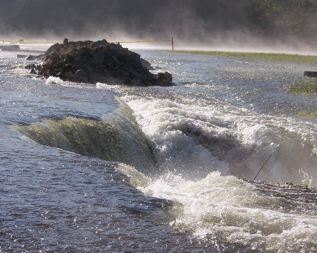
Monroe Lake
Pisgah Lake
Geist Reservoir
Driftwood River
Explore Indiana waters
Top paddling waters
Popular Cities
Loading popular cities...
Explore near Flatrock River
Access points
Nearby waters
More in Indiana

Smarter Paddling Starts in the App.
Paddleways gives you everything you need to plan smarter, paddle better, and own every trip from first launch to takeout.