Curated by PaddleWays
RouteFlatwater
- Distance
- 31.3 mi
- Paddle time
- Multi-day
- Best for
- Kayak, canoe
- Put-in → take-out
- Adams Landing Access → Pleasant View Park Boat Ramp
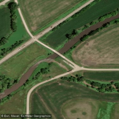
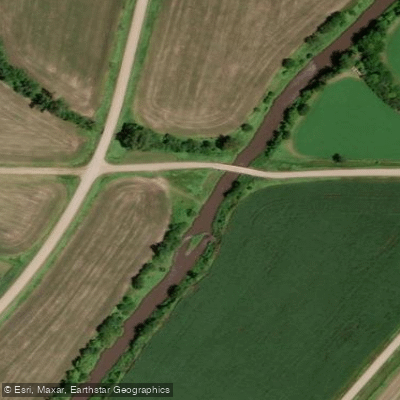
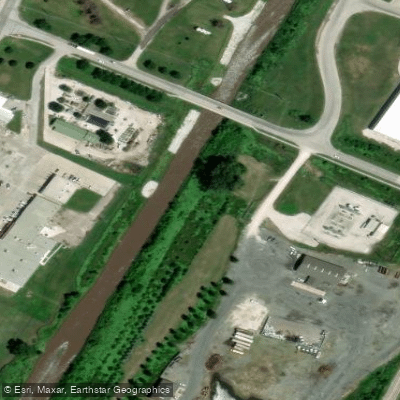
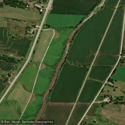
The Boyer River is a 118-mile long tributary of the Missouri River in western Iowa. It originates in Sac County and flows southwest through Crawford and Harrison Counties before joining the Missouri River near Missouri Valley. The river drains a watershed of approximately 1,200 square miles within the Loess Hills region.
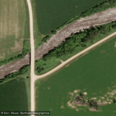
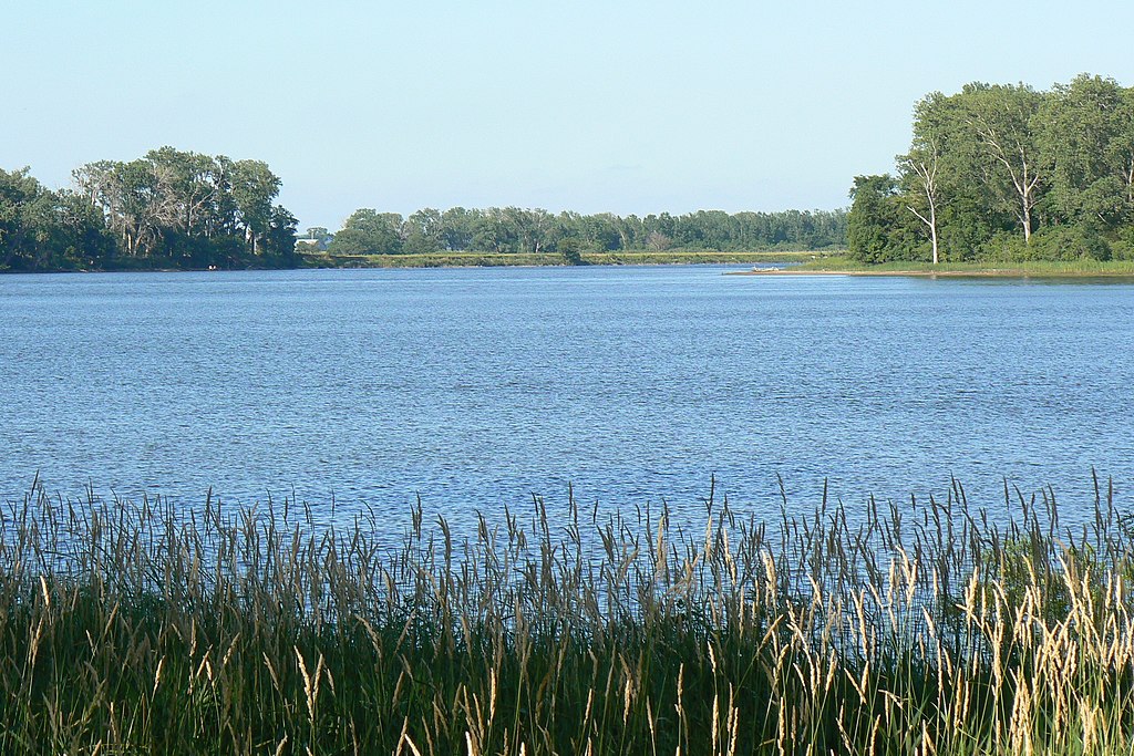
Paddling opportunities on the Boyer River are primarily flatwater, suitable for canoes, kayaks, and tubes. The full length from Arion to the Missouri River confluence offers a multi-day trip option for experienced paddlers. Most sections are calm and scenic, winding through agricultural lands and patches of woodland. However, paddlers should be aware that much of the river has been straightened, which can affect flow characteristics. The river's difficulty is generally rated as flatwater, making it accessible for beginners and families. However, low water levels in late summer can create challenges, and there may be occasional snags or debris to navigate. Spring and early summer typically offer the best water levels for paddling.
Wildlife viewing is a highlight along the Boyer River. Paddlers may spot deer, various bird species, and potentially beavers or muskrats. The surrounding landscape features a mix of croplands, pastures, and remnant prairies characteristic of western Iowa.
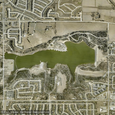
Key access points include: - Arion Access: The southernmost public access, carry-in only - Adam's Landing: Located one mile south of Boyer, carry-in only - Crawford County Fairgrounds Access: Convenient put-in near Denison
The Boyer River holds historical significance as it is named after an early settler who hunted and trapped in the area before the Lewis and Clark expedition. The river played a role in the early settlement and agricultural development of western Iowa.
Safety considerations include being aware of potential low-head dams, especially near towns. Paddlers should also watch for strainers and log jams, particularly after high water events. As with all Iowa waterways, life jackets are required by law. For those interested in multi-day trips, primitive camping may be possible on sandbars or public lands along the route, but paddlers should plan carefully and obtain necessary permissions.
The full river offers an immersive experience of Iowa's western landscape, from the gently rolling hills near its source to the broad Missouri River valley at its confluence.
Curated routes
Hand-picked by the PaddleWays team, with put-ins, take-outs, paddle times and the hazards along the way.
RouteFlatwater
Hazards
No hazards are marked on Boyer River yet. That is not the same as none being there: if you find one, report it for the next paddler.
From the community
Nobody has shared a trip on Boyer River yet. Paddle it, then tell the next paddler how it went.
See exactly where the public can get on and off the river. Launch points and boat ramps are paired with PaddleWays' public land data so you know where you can legally land.
Public shoreline
0%of the river's shoreline is public
Most of the riverbank is private. Launch, land and camp only at public access points.
Flows, weather and a route-by-route verdict, so you know which stretch of the Boyer River is worth paddling today.
Live flows, marked hazards and fresh trip reports from paddlers who were just on the water, all in one place.





Every user gets free access to launch points, boat ramps, and public property parcels.
Loading popular cities...
PaddleWays gives you everything you need to plan smarter, paddle better, and own every trip from first launch to takeout.