Dry Creek
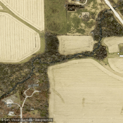
Dry Creek
- Boat Ramps
- 0
- Access Points
- 2
- Campsites
- 2
Dry Creek flows through Linn County, Iowa, originating in Benton County before entering Linn County and ultimately joining Indian Creek as a tributary. This 15.9-mile stream system (segment ID 3107) flows generally eastward through the Iowa-Cedar River basin, with its mouth located in Township 84N, Range 8W, Section 21 in Linn County. The creek holds Class A1 presumptive use designations for primary contact recreation and Class BWW1 presumptive use for warm water aquatic life, though field assessments conducted between 2005 and 2012 determined that an 8.2-mile segment within Linn County more appropriately supports Class A3 children's recreational use rather than the initially presumed higher designation. This classification reflects the creek's actual physical characteristics and accessibility for recreational activities.
Dry Creek's watershed falls within the HUC8 designation 07080205, with specific sub-watershed identification under HUC12 070802051505. The stream has been assessed as part of Iowa's water quality monitoring program, receiving a Category 2 rating in both the 2022 and 2024 assessment cycles, indicating it meets designated use criteria based on available data. The creek flows through a landscape shaped by agricultural land use typical of eastern Iowa, with the surrounding area characterized by gently rolling terrain. East Branch Blue Creek, a notable tributary system, contributes flow to the broader watershed network.
The stream corridor provides habitat for warm water fish species adapted to Iowa's prairie stream conditions, though specific aquatic life use designations vary along different segments based on physical stream characteristics and flow patterns.
Access to Dry Creek for recreational purposes remains limited compared to larger regional waterways. The stream's modest size and seasonal flow variations influence its suitability for activities like wading and nature observation rather than traditional paddling. Rural road crossings provide potential viewing points, though dedicated public access facilities are not extensively developed along this particular stream segment.
Water quality management for Dry Creek falls under Iowa Department of Natural Resources oversight, with the stream included in the state's broader efforts to assess and protect designated uses across Iowa's extensive network of perennial streams. The creek's classification reflects ongoing efforts to match regulatory designations with actual stream conditions and uses, ensuring appropriate protection standards while acknowledging site-specific limitations.
For those exploring Linn County's smaller waterways, Dry Creek represents one component of the region's interconnected stream network, contributing to the larger Indian Creek system that eventually flows to the Cedar River.
Water access, boat ramps & amenities
Learn how to get on Dry Creek. Uncover great paddling access points, boat ramps, and all the facilities you need for an unforgettable day on the water. Some locations shown may border or include private property. Always check property boundaries and applicable regulations before visiting. PaddleWays's Public & Private Land layer can help you plan your access with confidence.
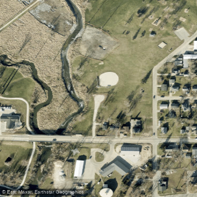
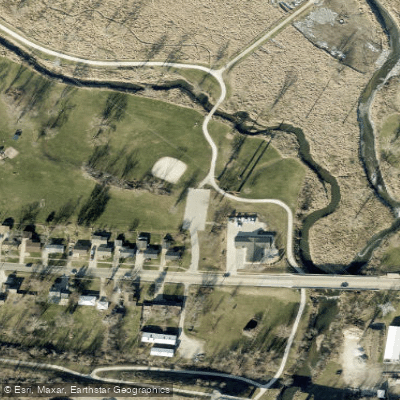
Paddle smarter with real-time insights
Whether you're en route and conditions shift or you're looking for the best spot based on current flows, we enable you to make informed decisions on the fly.








Find Places to Paddle

Over 400,000 Places to Paddle
Every user gets free access to launch points, boat ramps, and public property parcels.


Water and weather conditions (10 day forecast)
See the best times to paddle Dry Creek and check the forecast before you go.
Indian Creek at Marion, IA
Paddling near Dry Creek
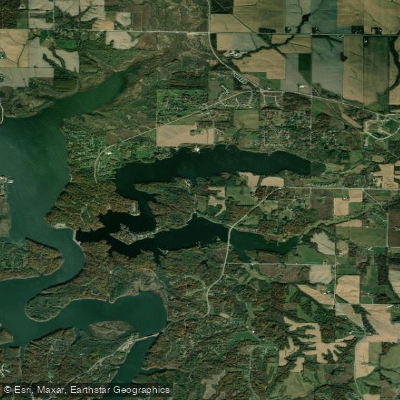
Lake McBride
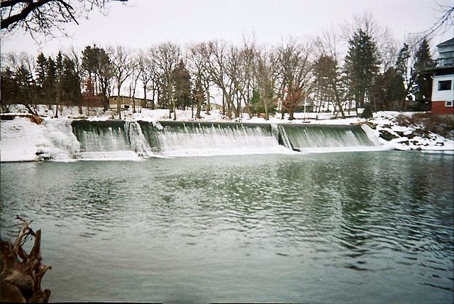
Cedar River
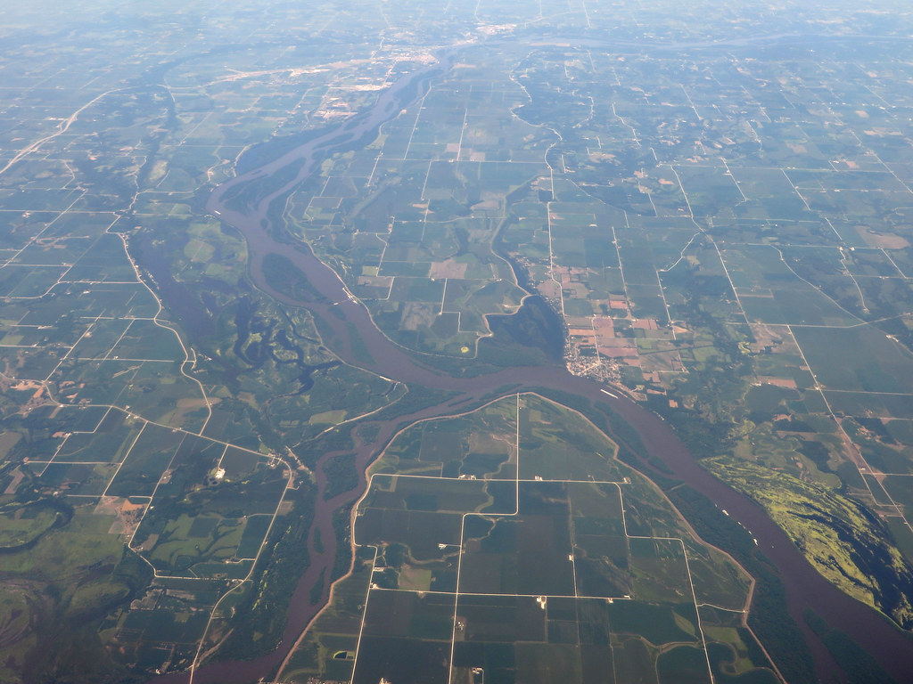
Iowa River
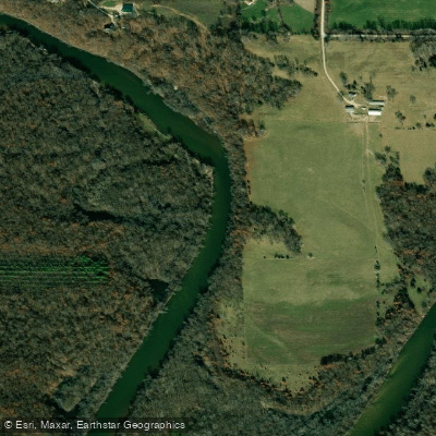
Wapsipinicon River
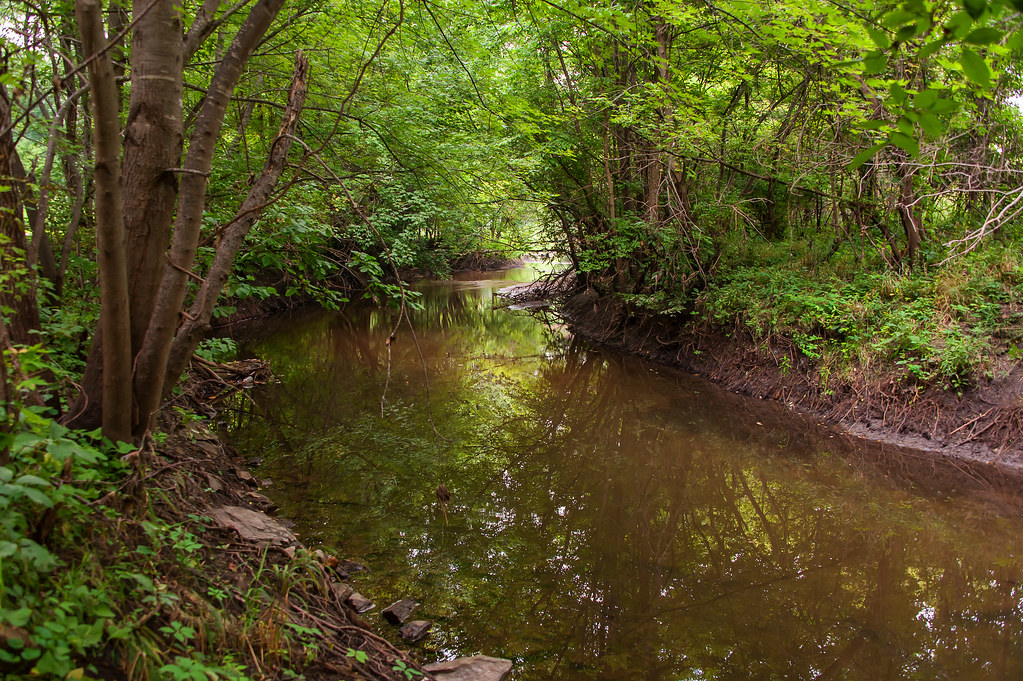
Indian Creek
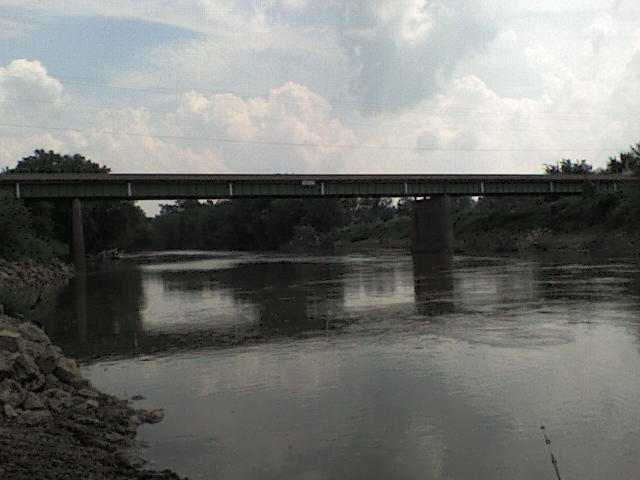
Maquoketa River
Cedar Lake
Hartwick Lake
Buffalo Creek
Explore Iowa waters
Top paddling waters
Popular Cities
Loading popular cities...
Explore near Dry Creek
Access points
Nearby waters
More in Iowa

Smarter Paddling Starts in the App.
Paddleways gives you everything you need to plan smarter, paddle better, and own every trip from first launch to takeout.