Curated by PaddleWays
RouteFlatwater
- Distance
- 3.1 mi
- Paddle time
- ~1 hr
- Put-in → take-out
- Lentsch Access → Cunningham Access
Lizard Creek originates approximately four miles east of Laurens in Pocahontas County, Iowa, flowing southeast for roughly 28 miles through Webster County before converging with the Des Moines River in Fort Dodge. The North Branch is the primary paddling focus, featuring a 14-mile state-designated water trail that ranks among Iowa's top five most challenging paddle experiences.
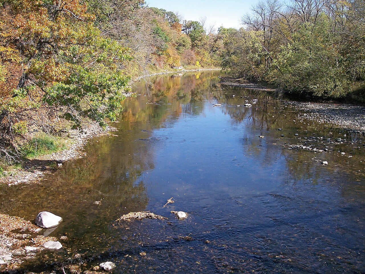
The creek's character differs markedly from typical Iowa waterways. Rather than the muddy bottoms common to agricultural streams, Lizard Creek flows over a streambed composed almost entirely of rock and sand, punctuated by glacial erratics—boulders deposited by retreating glaciers approximately 12,000 years ago. These geological features create Class I-II rapids and numerous riffles that demand active boat control and river-reading skills.
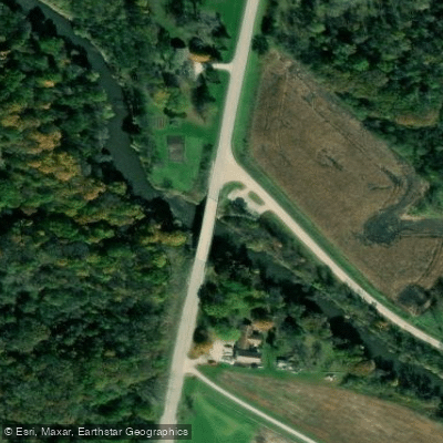
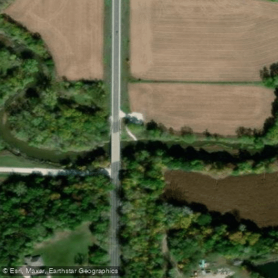
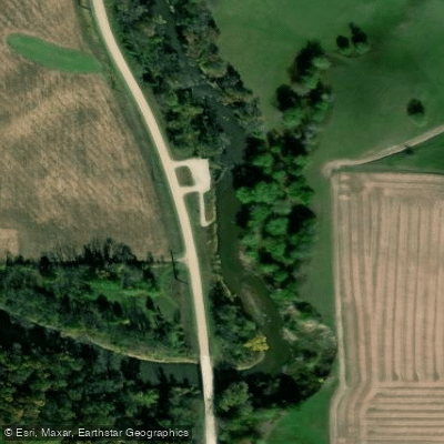
The designated water trail begins at Lentsch Access (175th Street/P29, approximately 7 miles northwest of Fort Dodge) and concludes at Phinney Park Access in Fort Dodge, where Lizard Creek meets the Des Moines River. Intermediate access points include Cunningham Access (Hayes Avenue) and Rasch Access (Johnson Avenue). The upper sections from Lentsch to Cunningham present intermediate-level paddling through heavily wooded corridors with sandstone and limestone bluffs rising over 40 feet. The stretch from Rasch to Phinney Park escalates to advanced difficulty, featuring at least 25 significant rock gardens and rapids requiring precise navigation.
Water levels fluctuate dramatically based on rainfall. During low water, paddlers may encounter sections requiring boat dragging; high water transforms moderate riffles into more aggressive rapids suitable only for experienced paddlers. Spring and early summer typically offer optimal flow conditions, though paddlers should consult USGS stream gauges before launching.
The riparian corridor supports diverse wildlife including bald eagles, great blue herons, belted kingfishers, and bank swallows that nest in the soft sandstone bluffs. The clear, well-oxygenated water sustains smallmouth bass populations and various mussel species. Mature oaks, walnuts, and basswoods dominate the forested banks, with red cedars clinging to rocky cliff edges.
Fort Dodge's industrial history intersects with the creek's lower reaches, where century-old gypsum mining operations remain visible. Archaeological evidence indicates prehistoric Native American camps along the high bluffs, and the Dakota people maintained a presence in this area until the 1860s.
Lizard Creek is classified as "non-meandered" under Iowa law, meaning the state owns the water but not the adjacent land or streambed—all private property. Camping on sandbars is prohibited, and paddlers must remain in their boats except at designated public access points. Electric fences spanning the creek appear in agricultural sections, requiring careful navigation. The combination of private land restrictions, technical rapids, and limited access points makes this a challenging day-trip destination requiring self-sufficiency and strong paddling skills.
Curated routes
Hand-picked by the PaddleWays team, with put-ins, take-outs, paddle times and the hazards along the way.
RouteFlatwater
RouteClass I–II
RouteClass I–II
Hazards
No paddler has reported a hazard here yet, so these are the dams, falls and big rapids on our map. Hazards change with flows and storms, so check them before you launch.
From the community
Nobody has shared a trip on Lizard Creek yet. Paddle it, then tell the next paddler how it went.
See exactly where the public can get on and off the river. Launch points and boat ramps are paired with PaddleWays' public land data so you know where you can legally land.
Public shoreline
5%of the river's shoreline is public
Most of the riverbank is private. Launch, land and camp only at public access points.
Flows, weather and a route-by-route verdict, so you know which stretch of the Lizard Creek is worth paddling today.
All Flow Stations
Live flows, marked hazards and fresh trip reports from paddlers who were just on the water, all in one place.





Every user gets free access to launch points, boat ramps, and public property parcels.
Loading popular cities...
PaddleWays gives you everything you need to plan smarter, paddle better, and own every trip from first launch to takeout.