Curated by PaddleWays
RouteFlatwater
- Distance
- 50 mi
- Paddle time
- Multi-day
- Put-in → take-out
- Earling Access → Council Bluffs Access
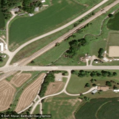
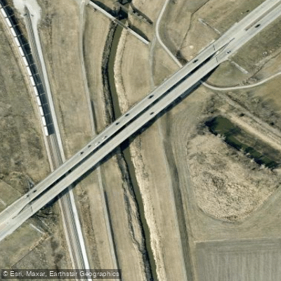
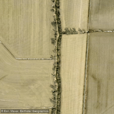
Mosquito Creek originates in Harrison County, Iowa, flowing southward through Pottawattamie County before joining the Missouri River near Council Bluffs. This prairie stream system drains portions of western Iowa's agricultural landscape, carving through loess hills terrain that creates distinctive bluffs and valley features along its approximately 60-mile course. The creek's watershed encompasses significant portions of Harrison, Pottawattamie, and Shelby counties, with the main channel exhibiting typical Midwest prairie stream characteristics—meandering patterns, moderate gradients, and seasonal flow variations. The Big Papillion-Mosquito watershed (HUC 10230006) includes this system, which has been shaped by both natural processes and agricultural land use throughout the region.
Paddling opportunities on Mosquito Creek are limited and highly seasonal. The stream is generally navigable only during spring runoff periods or following substantial rainfall events, as summer and fall flows frequently become too shallow for practical kayaking or canoeing. When water levels permit, the creek offers intimate paddling through rural landscapes, though paddlers should expect to encounter occasional logjams, low-hanging vegetation, and agricultural infrastructure including bridges and culverts. Access points are scattered and primarily informal, with the creek passing through or near communities including Underwood and Neola in Pottawattamie County. Council Bluffs, the largest nearby city, lies at the creek's terminus where it meets the Missouri River. The Pottawattamie County Conservation Board manages Arrowhead Park along Mosquito Creek, providing one of the more developed access areas within the watershed.
The creek's ecological character reflects its prairie origins, with riparian corridors supporting cottonwood, willow, and various native grasses where natural vegetation persists. Wildlife common to Iowa's western counties—white-tailed deer, wild turkey, and various waterfowl—utilize the creek corridor, particularly in less-developed stretches.
Historical significance stems from the creek's role in regional settlement patterns and its position within the broader Missouri River valley system. The name "Mosquito" appears in various historical documents related to westward expansion and early Iowa Territory development.
Paddlers considering Mosquito Creek should verify current water levels before attempting trips, as the stream's small size makes it prone to extreme fluctuations. Agricultural runoff concerns, particularly following rain events, warrant attention. No established multi-day paddling routes exist given the creek's limited navigable length and seasonal constraints. The stream serves primarily as a local paddling resource during optimal water conditions rather than a destination waterway.
Curated routes
Hand-picked by the PaddleWays team, with put-ins, take-outs, paddle times and the hazards along the way.
RouteFlatwater
Hazards
No paddler has reported a hazard here yet, so these are the dams, falls and big rapids on our map. Hazards change with flows and storms, so check them before you launch.
From the community
Nobody has shared a trip on Mosquito Creek yet. Paddle it, then tell the next paddler how it went.
See exactly where the public can get on and off the river. Launch points and boat ramps are paired with PaddleWays' public land data so you know where you can legally land.
Public shoreline
1%of the river's shoreline is public
Most of the riverbank is private. Launch, land and camp only at public access points.
Flows, weather and a route-by-route verdict, so you know which stretch of the Mosquito Creek is worth paddling today.
No forecast data available.
Live flows, marked hazards and fresh trip reports from paddlers who were just on the water, all in one place.





Every user gets free access to launch points, boat ramps, and public property parcels.
Loading popular cities...
PaddleWays gives you everything you need to plan smarter, paddle better, and own every trip from first launch to takeout.