West Fork Cedar River
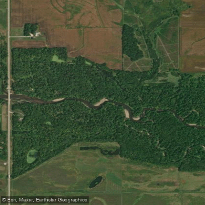
West Fork Cedar River
- Boat Ramps
- 2
- Access Points
- 6
- Campsites
- 1
The West Fork Cedar River is a significant tributary of the Cedar River in northeastern Iowa. It originates in northern Franklin County and flows southeast for approximately 42 miles before joining the main stem of the Cedar River in Black Hawk County. The West Fork contributes to the larger Cedar River watershed, which ultimately drains into the Mississippi River.
Paddling opportunities on the West Fork Cedar River are primarily flatwater, making it suitable for canoeists and kayakers of various skill levels. The river offers a scenic journey through rural Iowa landscapes, including wooded corridors, agricultural fields, and occasional rocky stretches. While not known for whitewater, the river provides a peaceful paddling experience with occasional riffles and gentle rapids. The difficulty level ranges from easy to moderate, depending on water levels and seasonal conditions.
Spring and early summer typically offer the best paddling conditions, with higher water levels. Late summer and fall can still be enjoyable but may require more vigilance for shallow areas and exposed rocks. Wildlife enthusiasts can spot a variety of birds, including herons and bald eagles, along with deer and small mammals along the shoreline. The river corridor supports a diverse ecosystem of riparian plants and trees.
Key access points include put-ins near Greene and Allison, with popular take-outs near Shell Rock and the confluence with the Cedar River. The towns of Greene, Allison, Shell Rock, and Janesville serve as convenient staging areas for river trips. Anglers will find opportunities to catch smallmouth bass, northern pike, and channel catfish. The river's fish populations contribute to the broader recreational appeal of the waterway.
For multi-day trips, paddlers can combine sections of the West Fork with the main Cedar River, potentially extending their journey downstream to Waverly or Cedar Falls. However, it's crucial to plan for portages around several low-head dams along the route. Safety considerations include checking water levels before trips, being aware of deadfall and logjams, and respecting private property along the banks. Paddlers should also be prepared for limited cell phone coverage in some rural stretches.
The West Fork Cedar River played a role in the early settlement and agricultural development of northeastern Iowa. Today, it serves as an important recreational resource and a vital part of the region's water system, offering paddlers a chance to explore the natural beauty of Iowa's river valleys.
Water access, boat ramps & amenities
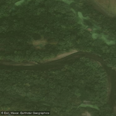
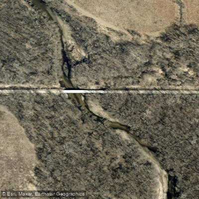
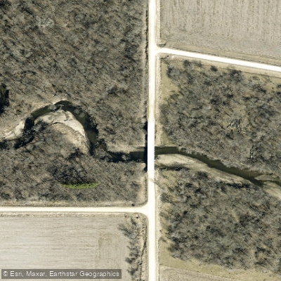
Learn how to get on West Fork Cedar River. Uncover great paddling access points, boat ramps, and all the facilities you need for an unforgettable day on the water. Some locations shown may border or include private property. Always check property boundaries and applicable regulations before visiting. PaddleWays's Public & Private Land layer can help you plan your access with confidence.
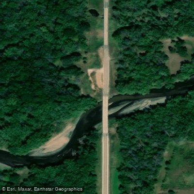
Paddle smarter with real-time insights
Whether you're en route and conditions shift or you're looking for the best spot based on current flows, we enable you to make informed decisions on the fly.








Find Places to Paddle

Over 400,000 Places to Paddle
Every user gets free access to launch points, boat ramps, and public property parcels.


Water and weather conditions (10 day forecast)
See the best times to paddle West Fork Cedar River and check the forecast before you go.
West Fork Cedar River at Finchford, IA
Paddling near West Fork Cedar River
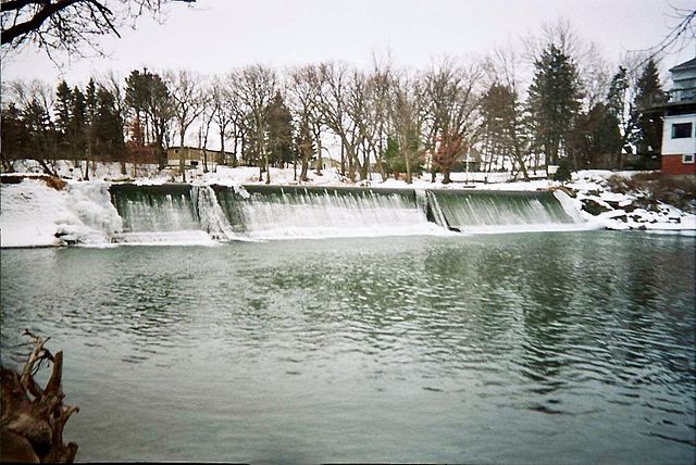
Cedar River
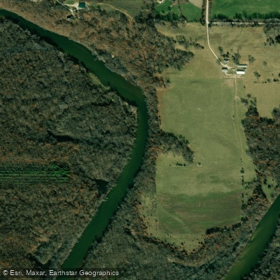
Wapsipinicon River
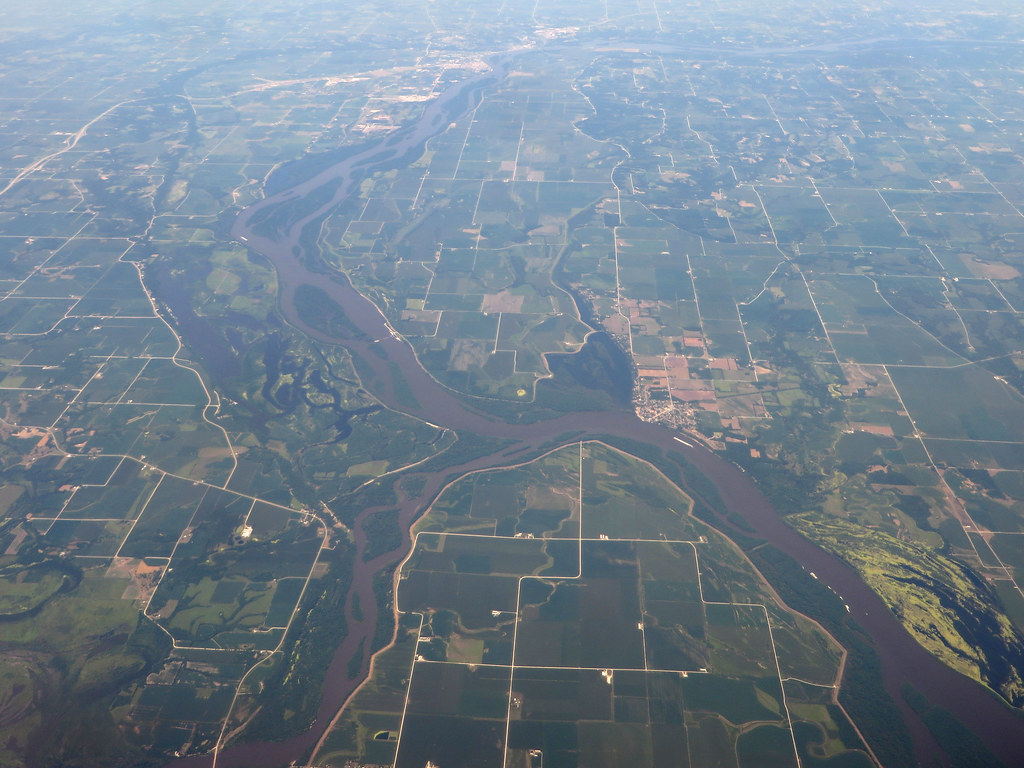
Iowa River
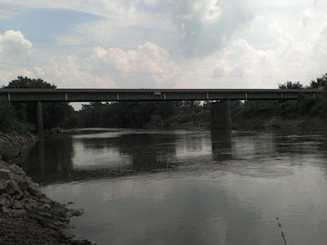
Maquoketa River
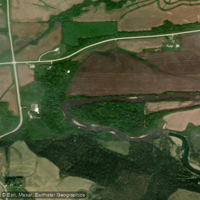
Turkey River
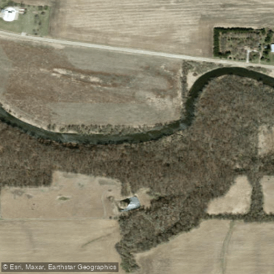
Winnebago River
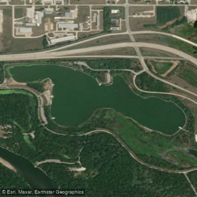
George Wyth Lake
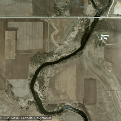
Shell Rock River
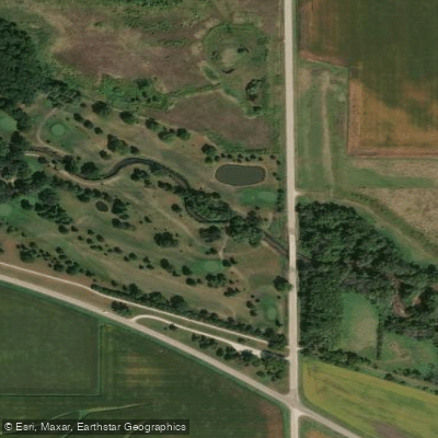
Black Hawk Creek
Explore Iowa waters
Top paddling waters
Popular Cities
Loading popular cities...
Explore near West Fork Cedar River
Access points
Nearby waters
More in Iowa

Smarter Paddling Starts in the App.
Paddleways gives you everything you need to plan smarter, paddle better, and own every trip from first launch to takeout.