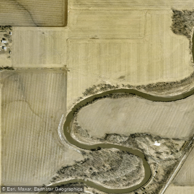
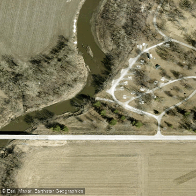
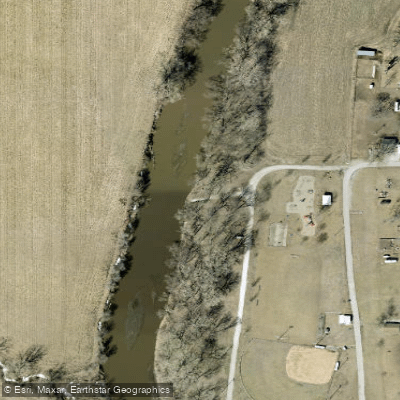
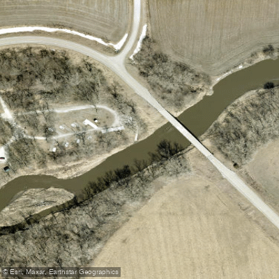
The West Nishnabotna River, affectionately known as the West Nish, is a significant waterway in southwestern Iowa. Originating in Carroll County, it flows southward through Shelby and Pottawattamie counties before joining the East Nishnabotna River to form the main Nishnabotna River, which ultimately empties into the Missouri River. The West Nishnabotna River Water Trail offers paddlers a unique experience in Iowa's prairie landscape. The trail consists of two main sections: a 15-mile stretch in Shelby County and a 26.8-mile segment from Avoca to Macedonia in Pottawattamie County. The latter section, designated as a State Water Trail by the Iowa Department of Natural Resources in 2010, is currently the only state-designated water trail in southwest Iowa.
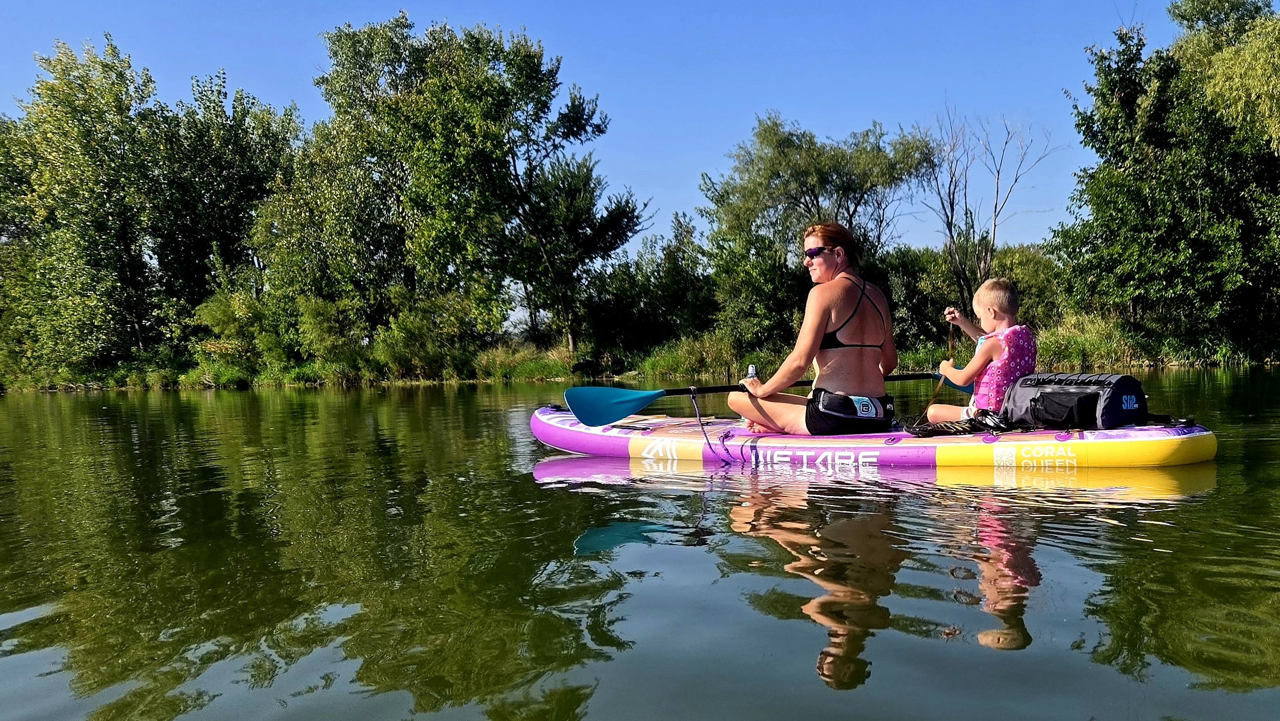
Paddling difficulty on the West Nish is generally classified as flatwater, making it suitable for novice to intermediate paddlers. The river meanders lazily through the countryside, offering a relaxing experience for canoeing, kayaking, tubing, and even tanking (floating in large stock tanks). The best times for paddling are typically late spring through early fall, with water levels being most favorable during these periods.
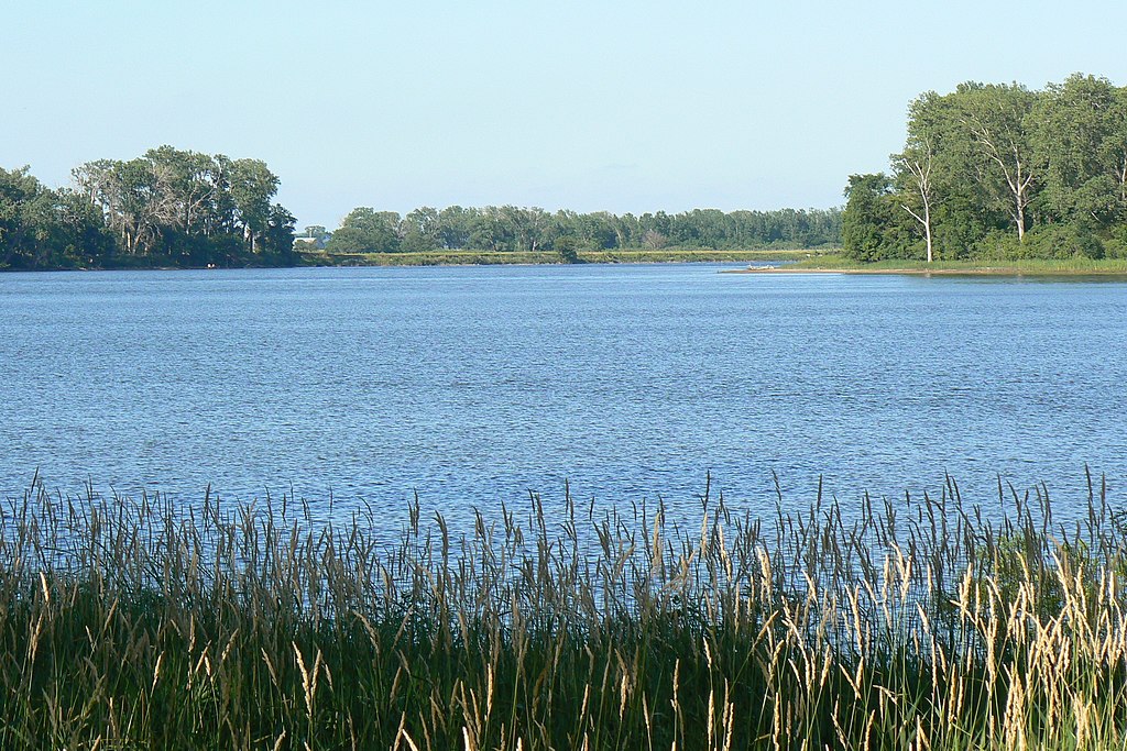
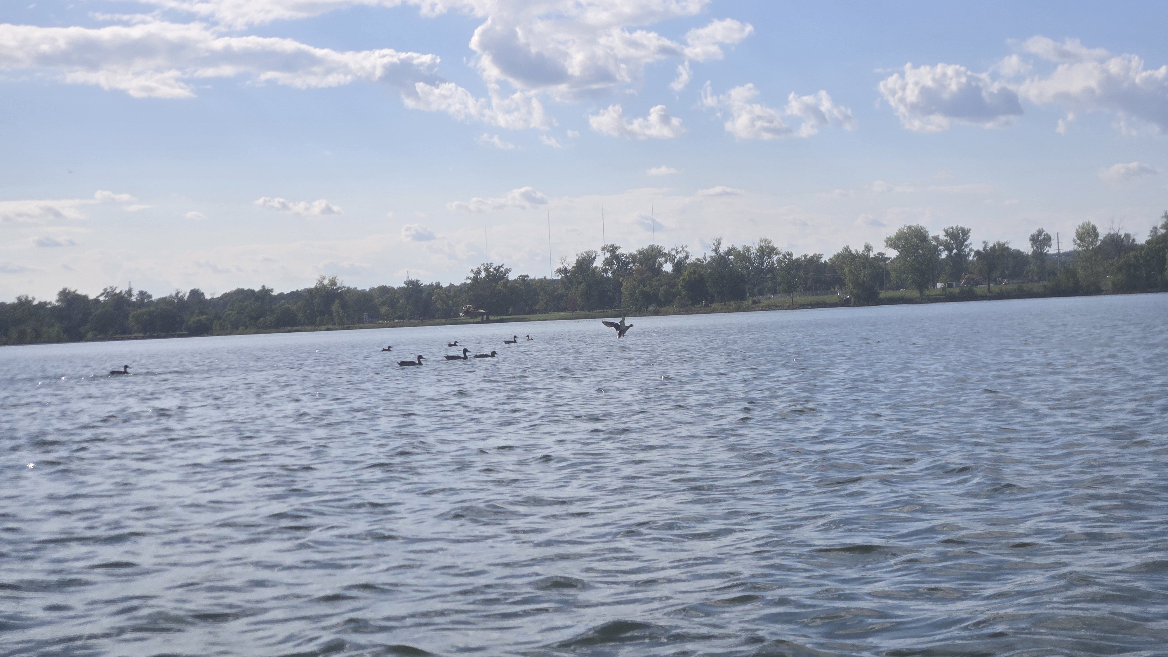
The river's ecosystem supports a diverse array of flora and fauna. Wooded banks provide excellent wildlife habitat, and lucky paddlers might spot bald eagles, particularly juveniles, which have been observed along the water trail. The landscape is dotted with numerous sandbars, perfect for picnicking or taking a break. Key landmarks include yellow mile markers placed in trees every two miles along the water trail, though these can be easy to miss if not vigilant.
The trail offers a unique opportunity to interpret historic migrations, social movements, and river modification efforts in tandem with recreational use. Primary access points include Edgington Memorial Park in Avoca (put-in) and Old Town Park near Macedonia (take-out) for the Pottawattamie County section. The Shelby County segment also has designated access points, managed by the Shelby County Conservation Board.
The West Nishnabotna River holds significant historical and cultural importance, reflecting the agricultural heritage and settlement patterns of southwestern Iowa. It played a crucial role in the region's development and continues to be an important recreational resource for local communities.
Safety considerations include being aware of current water levels and potential obstacles. Paddlers should also be mindful of the river's meandering nature and pay attention to exit points, as paddling upstream can be challenging. While primarily used for day trips, the river's length and multiple access points could potentially allow for multi-day adventures for more experienced paddlers who are properly equipped for overnight stays.
The West Nishnabotna River Water Trail represents a hidden gem in Iowa's outdoor recreation scene, offering a peaceful journey through the state's picturesque prairie landscape.