Curated by PaddleWays
RouteFlatwater
- Distance
- 4.9 mi
- Paddle time
- ~1.5 hrs
- Best for
- Kayak, canoe
- Put-in → take-out
- Rock Creek Lake Dam Hand Launch → Gunn Park Launch
Poor condition boat ramp at take-out
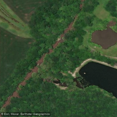
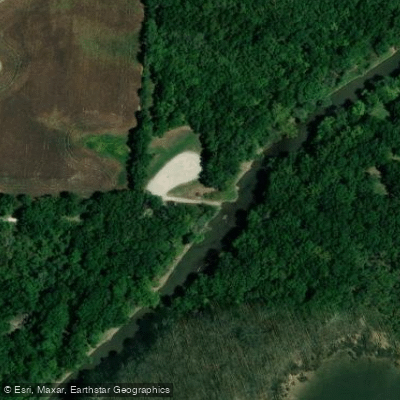
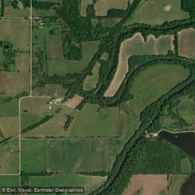
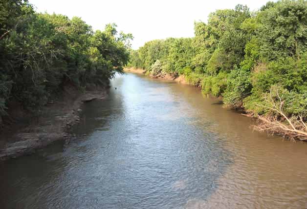
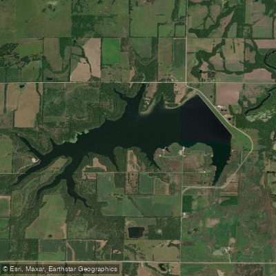
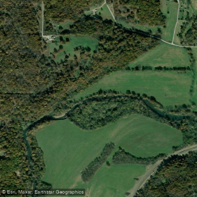
The Marmaton River is a 102-mile long waterway that flows through southeastern Kansas and western Missouri. Originating in Kansas, the river flows generally eastward before joining the Little Osage River in Missouri. It is part of the larger Osage River watershed within the Missouri River basin. For paddlers, the Marmaton offers scenic flatwater experiences suitable for beginners and families. A popular 5-mile stretch runs from Rock Creek Lake dam to Gunn Park in Fort Scott, Kansas. This section provides an easy float through picturesque Kansas countryside with good fishing opportunities. The put-in at Rock Creek Lake offers an accessible launch point, while take-out is available at Gunn Park's boat ramp.
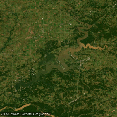
In Missouri, the Four Rivers Conservation Area presents a unique paddling experience where the Marmaton meets the Little Osage River. This vast wetland ecosystem spans nearly 14,000 acres and boasts over 21 miles of stream frontage. Paddlers can access the area via motorized johnboat from the Marmaton River boat ramp or by canoe from the Cephas Ford access point.
The river's difficulty is generally flatwater, making it ideal for novice paddlers and those seeking a relaxed experience. However, as with all rivers, conditions can vary based on water levels and weather. Spring and early summer typically offer the best paddling conditions, with adequate water levels and pleasant temperatures. Fall can also be enjoyable, showcasing colorful foliage along the riverbanks.
The Marmaton River ecosystem supports a rich variety of wildlife. Paddlers may encounter numerous waterfowl species, wetland-dependent migratory birds, diverse fish populations, and various mussel species. The surrounding landscape features extensive wetlands and large tracts of bottomland forest.
Key access points include Rock Creek Lake and Gunn Park in Fort Scott, Kansas, and the Four Rivers Conservation Area in Missouri. These locations provide convenient entry and exit points for day trips.
Historically, the Marmaton River played a role in the settlement and development of the region. Today, it serves as an important recreational resource and wildlife habitat. Safety considerations include checking water levels before paddling and being aware of potential logjams or other obstacles. As always, wearing a personal flotation device is essential.
While most trips on the Marmaton are day excursions, the connection to the Little Osage River and the extensive Four Rivers Conservation Area could provide opportunities for longer, multi-day adventures for more experienced paddlers willing to plan accordingly. Overall, the Marmaton River offers accessible and scenic paddling experiences that showcase the natural beauty of Kansas and Missouri, making it a valuable destination for local and visiting paddlers alike.
Curated routes
Hand-picked by the PaddleWays team, with put-ins, take-outs, paddle times and the hazards along the way.
RouteFlatwater
Hazards
No paddler has reported a hazard here yet, so these are the dams, falls and big rapids on our map. Hazards change with flows and storms, so check them before you launch.
From the community
Nobody has shared a trip on Marmaton River yet. Paddle it, then tell the next paddler how it went.
See exactly where the public can get on and off the river. Launch points and boat ramps are paired with PaddleWays' public land data so you know where you can legally land.
Public shoreline
2%of the river's shoreline is public
Most of the riverbank is private. Launch, land and camp only at public access points.
Flows, weather and a route-by-route verdict, so you know which stretch of the Marmaton River is worth paddling today.
All Flow Stations
Live flows, marked hazards and fresh trip reports from paddlers who were just on the water, all in one place.





Every user gets free access to launch points, boat ramps, and public property parcels.
Loading popular cities...
PaddleWays gives you everything you need to plan smarter, paddle better, and own every trip from first launch to takeout.