Dix River
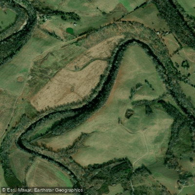
Dix River
- Boat Ramps
- 6
- Access Points
- 7
- Campsites
- 0
The Dix River is a scenic waterway in central Kentucky, originating in Rockcastle County and flowing northward for approximately 85 miles before joining the Kentucky River near High Bridge. This tributary of the Kentucky River drains a watershed of about 420 square miles. The Dix River offers diverse paddling opportunities, from calm flatwater sections to mild whitewater. The upper reaches provide Class I-II rapids suitable for beginners and intermediate paddlers. The section from Logantown to Herrington Lake is a popular 10.5-mile flatwater route, offering scenic views and a relaxed paddling experience.
Below Herrington Lake Dam, the river flows through the picturesque Dix River Gorge, featuring Class II-III rapids that challenge more experienced paddlers. This 7-mile stretch from High Bridge to Herrington Lake Dam is known for its stunning limestone palisades and sense of isolation. The lower Dix River, near its confluence with the Kentucky River, is influenced by backwater and provides a unique upstream paddling experience. This section is ideal for novice paddlers and those interested in exploring the river's ecology.
Water levels are generally most favorable for paddling in spring and early summer, though the dam-controlled lower section can be paddled year-round. The river corridor supports diverse flora and fauna, including various fish species, making it popular among anglers. Key access points include Logantown, High Bridge, and the confluence area near Harrodsburg. The historic High Bridge, an impressive railroad trestle, serves as a notable landmark. The river also passes near Shaker Village of Pleasant Hill, adding cultural interest to paddling trips.
Safety considerations include being aware of water releases from Herrington Lake Dam and potential strainers in the upper sections. Paddlers should check water levels and weather conditions before embarking on their journey. For those seeking a multi-day adventure, it's possible to combine sections of the Dix River with the Kentucky River, though camping options along the Dix itself are limited. The Dix River's blend of scenic beauty, varied paddling conditions, and proximity to historic sites make it a valuable recreational resource in Kentucky's waterway system.
Water access, boat ramps & amenities
Learn how to get on Dix River. Uncover great paddling access points, boat ramps, and all the facilities you need for an unforgettable day on the water. Some locations shown may border or include private property. Always check property boundaries and applicable regulations before visiting. PaddleWays's Public & Private Land layer can help you plan your access with confidence.
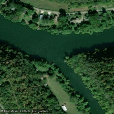
Paddle smarter with real-time insights
Whether you're en route and conditions shift or you're looking for the best spot based on current flows, we enable you to make informed decisions on the fly.








Find Places to Paddle

Over 400,000 Places to Paddle
Every user gets free access to launch points, boat ramps, and public property parcels.


Water and weather conditions (10 day forecast)
See the best times to paddle Dix River and check the forecast before you go.
DIX RIVER AT DIX DAM NEAR BURGIN, KY
All Flow Stations
Paddling near Dix River
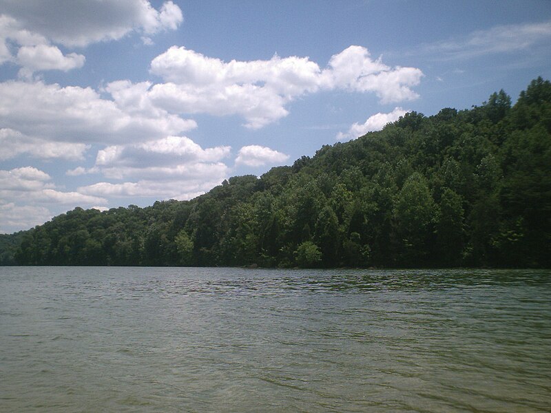
Herrington Lake
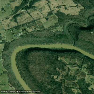
Kentucky River
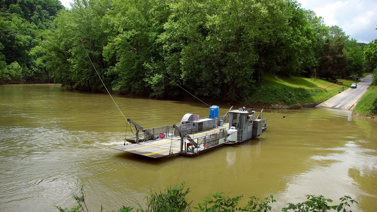
Green River
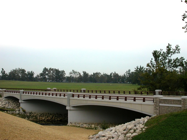
North Elkhorn Creek
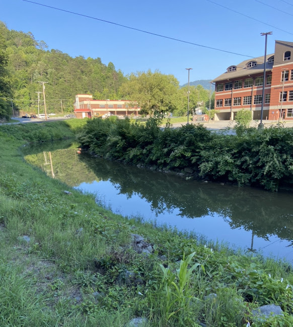
North Fork Kentucky River
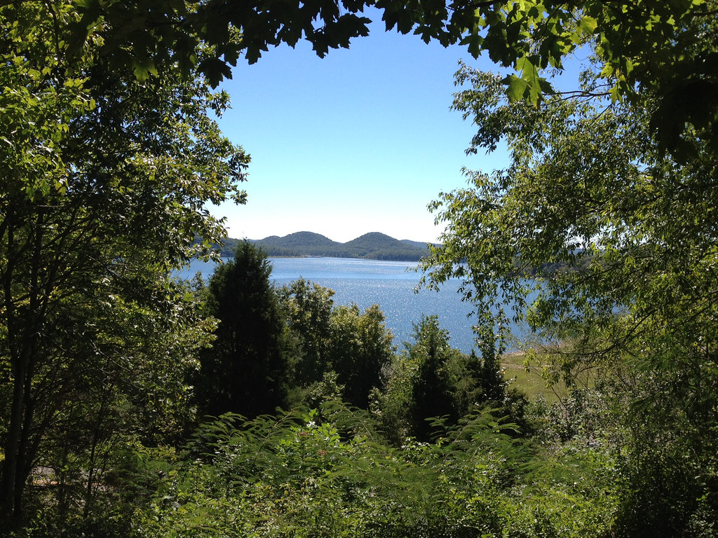
Cave Run Lake
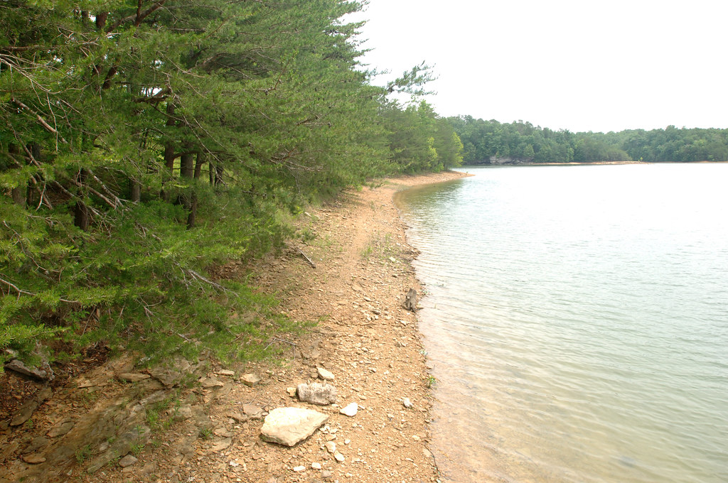
Laurel River Lake
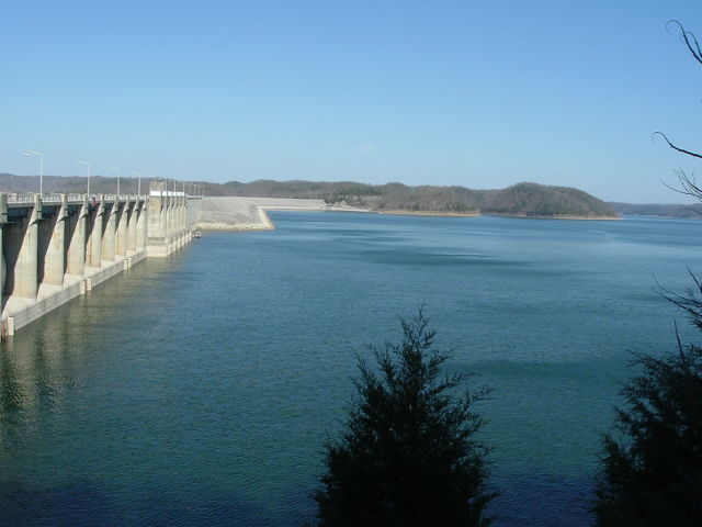
Lake Cumberland
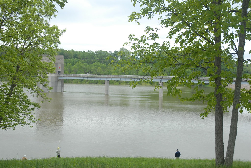
Taylorsville Lake
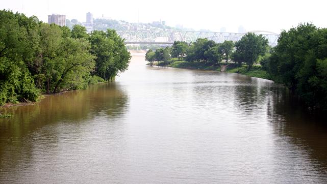
Licking River
Explore Kentucky waters
Top paddling waters
Popular Cities
Loading popular cities...
Explore near Dix River
Access points
Nearby waters
More in Kentucky

Smarter Paddling Starts in the App.
Paddleways gives you everything you need to plan smarter, paddle better, and own every trip from first launch to takeout.