Rolling Fork
Rolling Fork
- Boat Ramps
- 5
- Access Points
- 6
- Campsites
- 0
Rolling Fork originates in Boyle County, Kentucky, and flows westward through Marion County before turning north to form the border between LaRue and Nelson counties. The river continues northward into Bullitt County, where it merges with the Salt River near the boundary of Bullitt and Hardin counties. This 108-mile tributary of the Salt River drains a significant portion of south-central Kentucky's Knobs region, characterized by steep valleys and rugged terrain that gradually transitions to broader bottomlands as the river approaches its confluence.
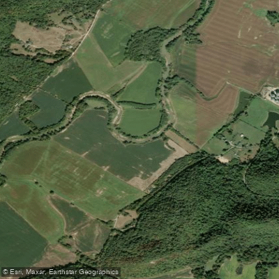
The river offers multiple paddling opportunities concentrated primarily in Marion County, where two distinct day trips have been established. The upper section runs approximately 11 miles from Calvary Dam off KY 208 to the bridge near St. Joseph at KY 412, featuring limestone rock outcroppings ideal for smallmouth bass fishing and a notable heron rookery between the KY 55/US 68 bridge and Old Mill Dam. This section includes one technical challenge at Old Mill Dam requiring portage on the right side, with whitewater ranging from Class I in low water to Class III in high water conditions. The lower section extends 9.55 miles from St. Joseph to Raywick off KY 527/Scotts Ridge Road, traversing more remote terrain including the distinctive Horseshoe Bend where the river nearly doubles back on itself.
Advanced paddlers in efficient boats typically complete each section in five to six hours, while recreational paddlers in shorter kayaks should plan for seven to nine hours. The upper section remains floatable year-round during normal rainfall years due to deeper pools created by Old Mill Dam, while the lower section can become extremely shallow in July and August, requiring frequent boat lining.
The river corridor supports diverse wildlife including white-tailed deer, wild turkey, beavers, river otters, and bald eagles, particularly visible during spring and summer. The endangered Indiana Bat inhabits the surrounding forests, and the river itself hosts healthy populations of smallmouth bass, channel catfish, rock bass, and various sunfish species.
Access points include public ramps at Calvary Dam, near St. Joseph, and in Raywick, all constructed by the Marion County Fiscal Court. The river passes through communities including Calvary, Raywick, and Howardstown in Marion County, New Haven in Nelson County, and Boston in Nelson County near the Beech Fork confluence.
Paddlers must navigate significant logjams, particularly at the KY 527 bridge near Raywick, where a massive debris pile requires careful portaging. The river's location in the upper watershed means water levels rise and fall rapidly after rainfall. No river gauges exist on these sections, requiring visual inspection before launching. The river flows through predominantly private property, though public navigation rights apply to the waterway itself.
Water access, boat ramps & amenities
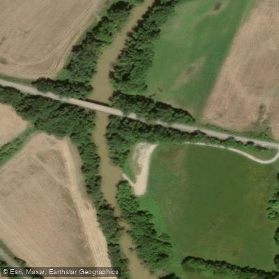
Learn how to get on Rolling Fork. Uncover great paddling access points, boat ramps, and all the facilities you need for an unforgettable day on the water. Some locations shown may border or include private property. Always check property boundaries and applicable regulations before visiting. PaddleWays's Public & Private Land layer can help you plan your access with confidence.
Paddle smarter with real-time insights
Whether you're en route and conditions shift or you're looking for the best spot based on current flows, we enable you to make informed decisions on the fly.








Find Places to Paddle

Over 400,000 Places to Paddle
Every user gets free access to launch points, boat ramps, and public property parcels.


Water and weather conditions (10 day forecast)
See the best times to paddle Rolling Fork and check the forecast before you go.
ROLLING FORK AT HWY 208 AT CALVARY, KY
All Flow Stations
Paddling near Rolling Fork

Ohio River
Rough River Lake
Rough River
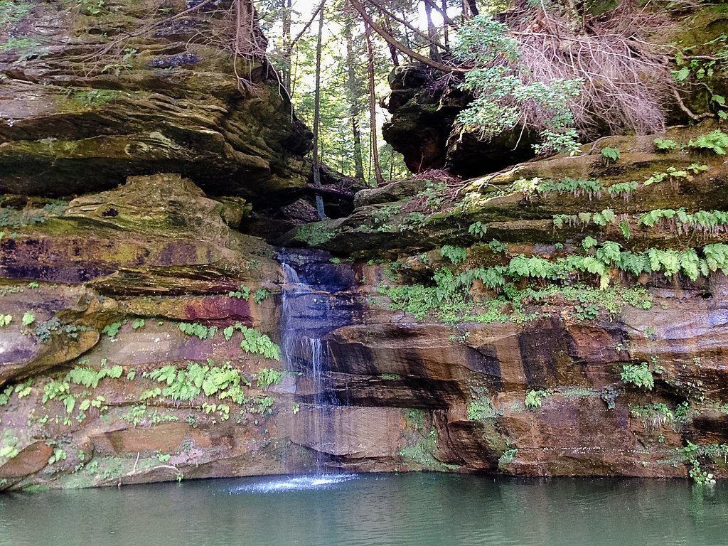
Nolin River
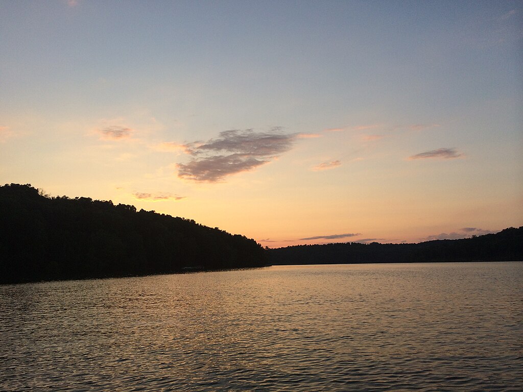
Nolin Lake
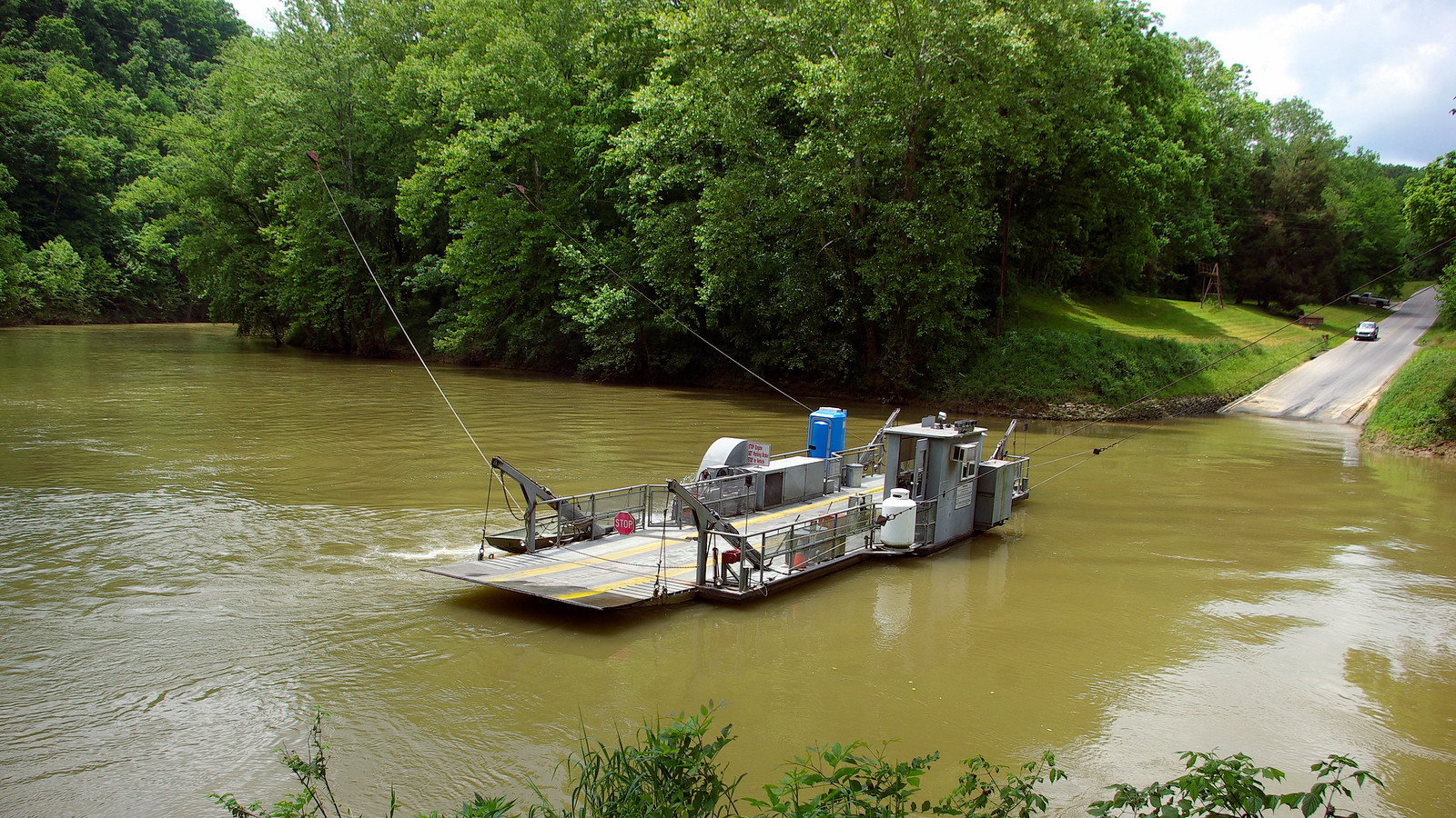
Green River
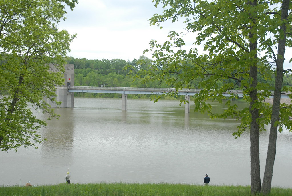
Taylorsville Lake
Floyds Fork
Salt River
Explore Kentucky waters
Top paddling waters
Popular Cities
Loading popular cities...
Explore near Rolling Fork
Access points
Nearby waters
More in Kentucky

Smarter Paddling Starts in the App.
Paddleways gives you everything you need to plan smarter, paddle better, and own every trip from first launch to takeout.