Curated by PaddleWays
RouteClass I–II
- Distance
- 2.5 mi
- Paddle time
- ~1 hr
- Best for
- Experienced paddlers
- Put-in → take-out
- Rocky Branch Road Boat Ramp → Cedar Valley Road Boat Ramp
Mild rapids and swift water at high flow
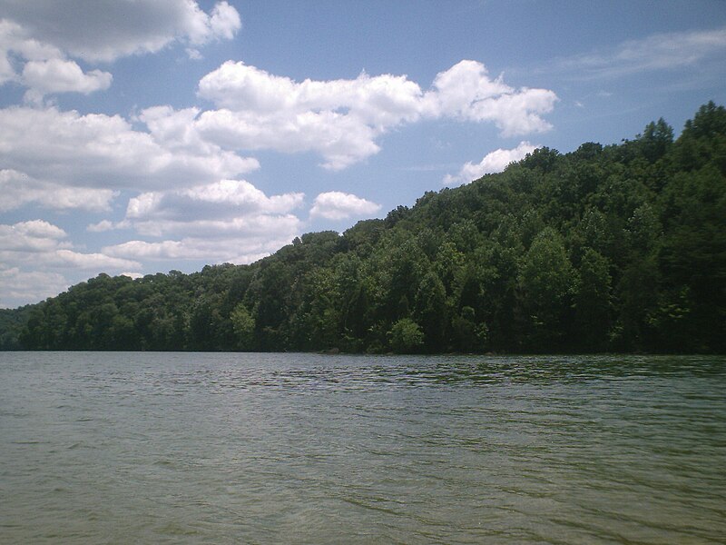
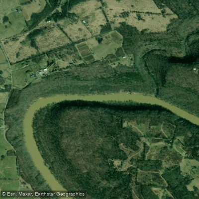
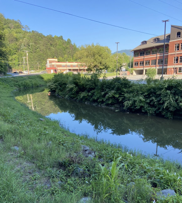
The South Fork Kentucky River originates in the rugged hills of southeastern Kentucky, flowing northwestward through Clay, Owsley, and Lee counties before joining the North Fork and Middle Fork to form the main stem of the Kentucky River near Beattyville. This 45-mile waterway drains a significant portion of the Cumberland Plateau, carving a picturesque valley through forested ridges and limestone cliffs.
Paddlers can enjoy a variety of experiences on the South Fork, from placid flatwater stretches to occasional Class I-II rapids. The river is typically divided into several sections, with popular put-ins at Oneida, Rocky Branch, and Booneville. A series of access points allows for trips ranging from short day paddles to multi-day adventures. The difficulty is generally suitable for novice to intermediate paddlers, though some swift water skills are advisable during higher flows.
Spring and fall offer ideal paddling conditions, with moderate water levels and comfortable temperatures. Summer can provide enjoyable trips as well, though low water may necessitate occasional dragging through shallow riffles. Winter paddling is possible but recommended only for experienced cold-water kayakers.
The river corridor supports a diverse ecosystem, with towering sycamores and hemlocks lining the banks. Wildlife enthusiasts may spot great blue herons, wood ducks, and even the occasional river otter. The South Fork is also known for its excellent smallmouth bass fishing.
Notable landmarks include the historic Oneida Baptist Institute near the upper reaches and the dramatic limestone palisades visible in several sections. The river passes through the small towns of Booneville and Beattyville, offering opportunities to resupply or explore local culture.
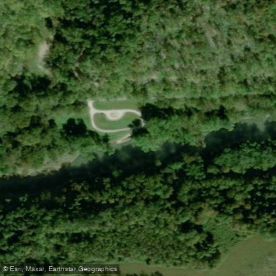
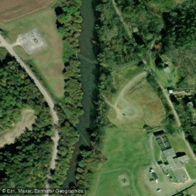
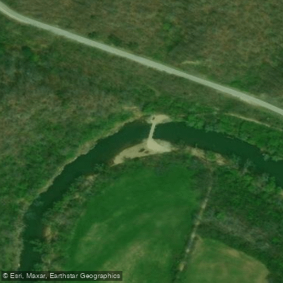
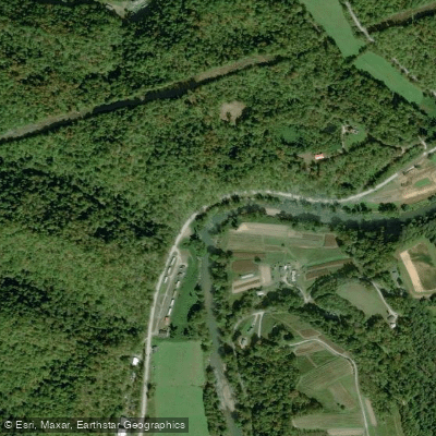
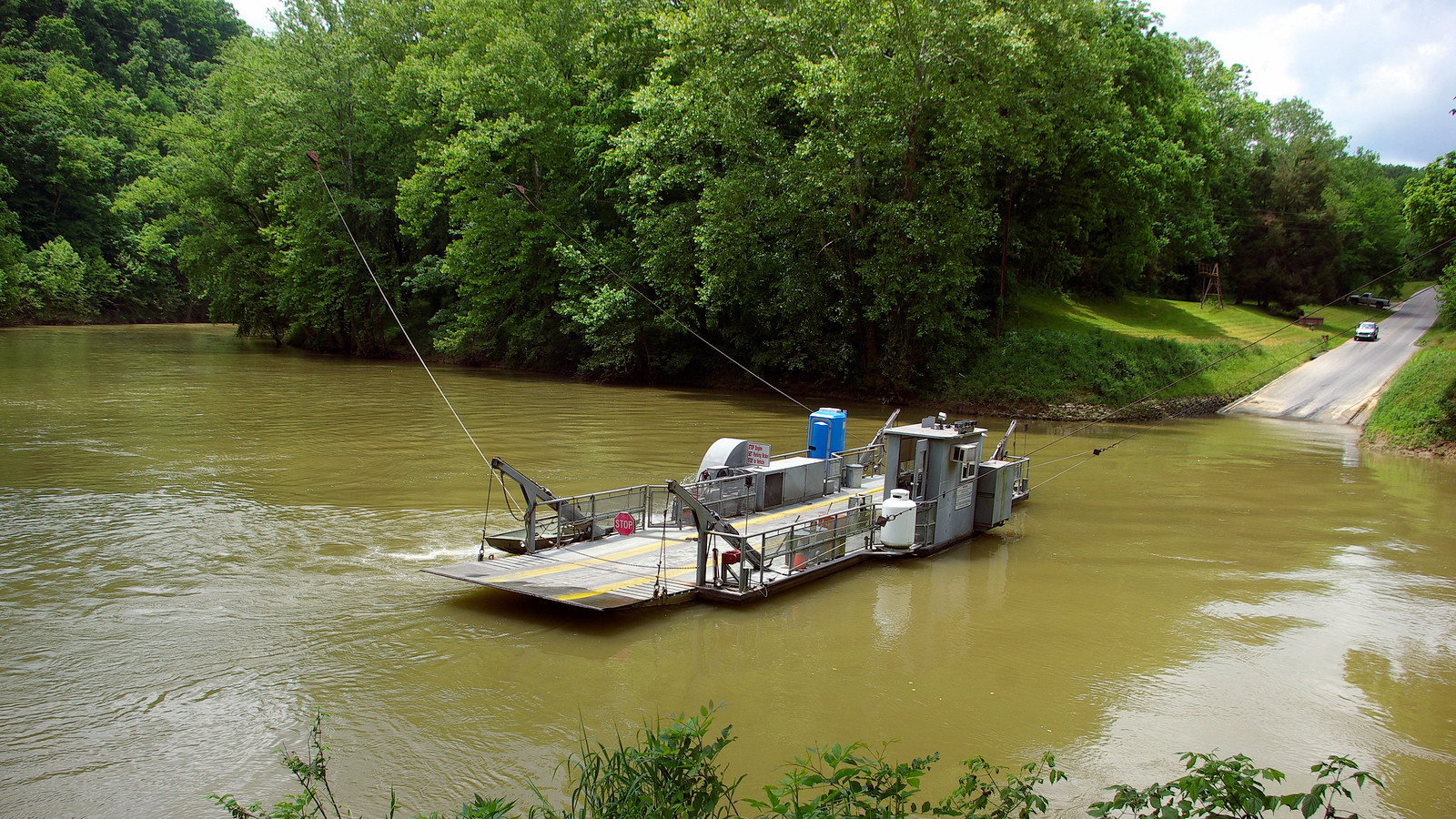
Access points are generally well-maintained, with the Oneida Ramp, Rocky Branch Road Access, and Booneville Boat Ramp serving as primary launch sites. These are typically within a 30-minute drive of larger communities like Manchester or Jackson.
The South Fork played a vital role in the region's logging history, with remnants of old splash dams still visible in some locations. Today, it serves as an important recreational resource and a window into the natural beauty of eastern Kentucky.
Paddlers should be aware of potential strainers and logjams, especially after high water events. All boaters are required to have a personal flotation device, and it's advisable to check current water levels before embarking. For those seeking a longer journey, it's possible to continue past the confluence of the forks and paddle the main Kentucky River, potentially all the way to the Ohio River over multiple days.
Curated routes
Hand-picked by the PaddleWays team, with put-ins, take-outs, paddle times and the hazards along the way.
RouteClass I–II
RouteClass I–II
RouteClass I–II
RouteClass I–II
RouteClass I–II
RouteClass I–II
RouteClass I–II
Hazards
No hazards are marked on South Fork Kentucky River yet. That is not the same as none being there: if you find one, report it for the next paddler.
From the community
Nobody has shared a trip on South Fork Kentucky River yet. Paddle it, then tell the next paddler how it went.
See exactly where the public can get on and off the river. Launch points and boat ramps are paired with PaddleWays' public land data so you know where you can legally land.
Public shoreline
2%of the river's shoreline is public
Most of the riverbank is private. Launch, land and camp only at public access points.
Flows, weather and a route-by-route verdict, so you know which stretch of the South Fork Kentucky River is worth paddling today.
Live flows, marked hazards and fresh trip reports from paddlers who were just on the water, all in one place.





Every user gets free access to launch points, boat ramps, and public property parcels.
Loading popular cities...
PaddleWays gives you everything you need to plan smarter, paddle better, and own every trip from first launch to takeout.