Curated by PaddleWays
RouteFlatwater
- Distance
- 2.9 mi
- Paddle time
- ~1 hr
- Best for
- Kayak, canoe
- Put-in → take-out
- Wenona Harbor Boat Ramp → Stevenson Pond Boat Ramp
Shallow areas and potential snags early on
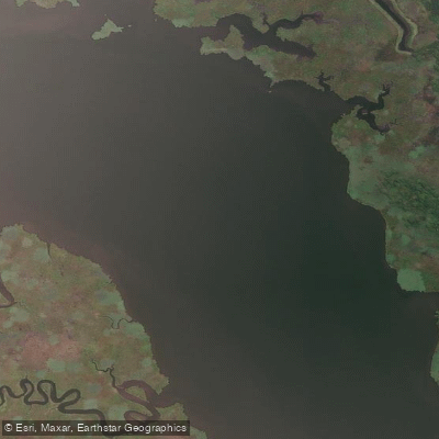
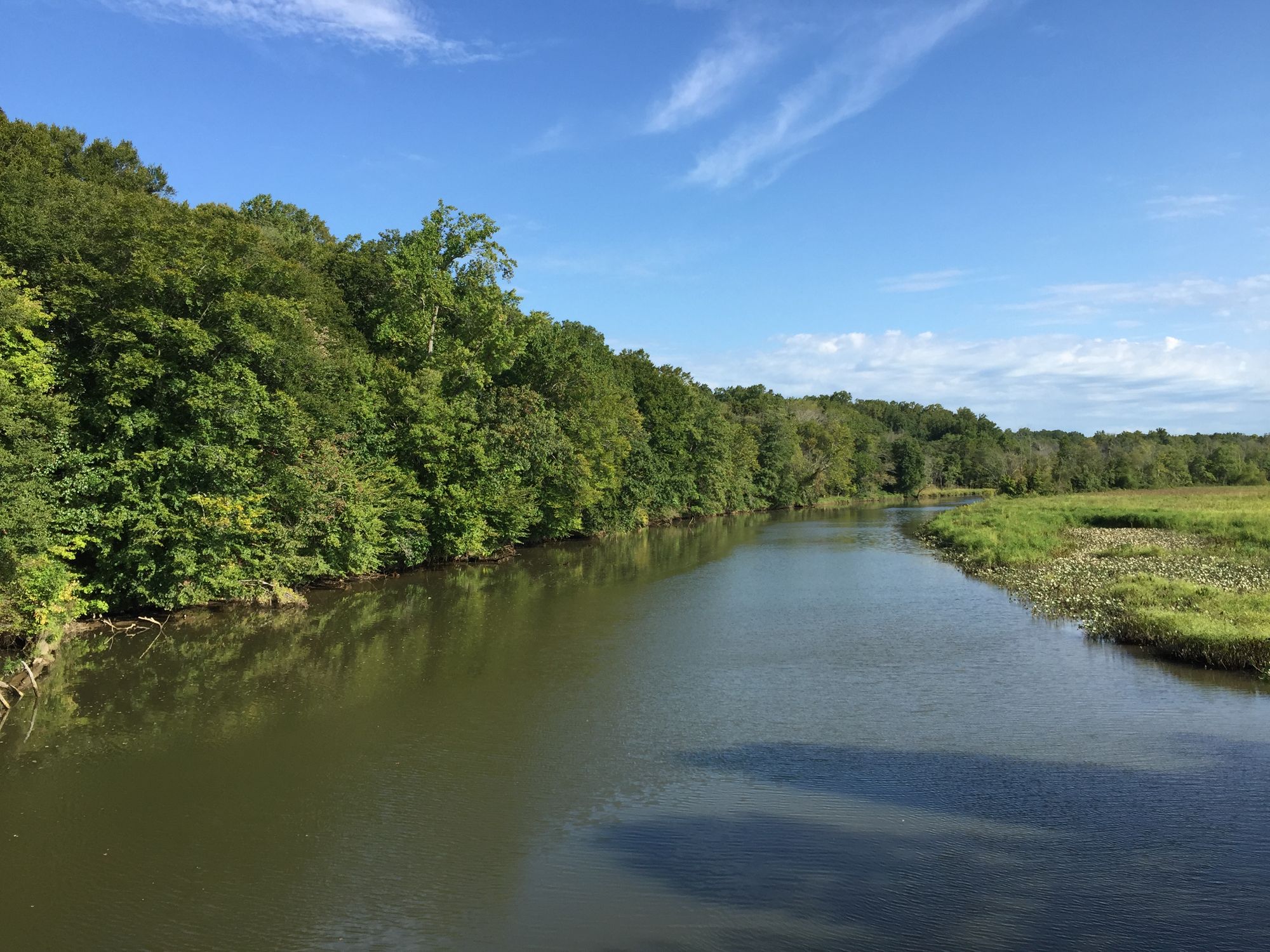
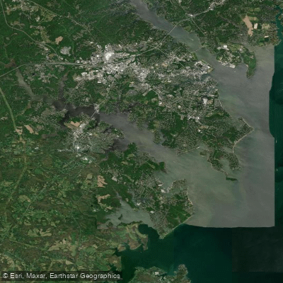
The Choptank River, the longest river on Maryland's Eastern Shore, offers a diverse paddling experience through the heart of the Delmarva Peninsula. Originating in Delaware, it flows approximately 60 miles southwest through Maryland before emptying into the Chesapeake Bay. The river's character transforms dramatically along its course, from a narrow, tree-lined stream in its upper reaches to a wide, tidal estuary near its mouth.
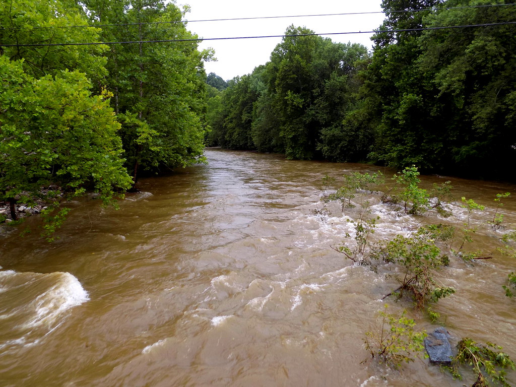
Paddling opportunities on the Choptank cater to a wide range of skill levels. The upper sections, particularly above Greensboro, are best suited for experienced paddlers comfortable with navigating shallow waters and potential obstacles. Here, canoeists and kayakers may encounter low water levels, snags, and the need for occasional portages, especially during drier months. As the river widens and deepens below Greensboro, it becomes more accommodating for novice paddlers and offers a gentler, more relaxed experience.
Popular paddling sections include the Upper Choptank from Mud Mill Pond to Red Bridges, which provides a scenic journey through the rural Eastern Shore landscape. The stretch from Greensboro to Denton offers a pleasant day trip with gradually widening waters and fewer obstacles. For those seeking an urban paddling experience, the Cambridge Creek Urban Paddle allows exploration of the historic waterfront and passes by landmarks such as the Choptank River Lighthouse.
The river's ecosystem supports a rich variety of wildlife. Paddlers may spot bald eagles, ospreys, great blue herons, and various waterfowl. The tidal portions of the river are home to blue crabs, striped bass, and other estuarine species.
Spring and fall generally offer the most comfortable paddling conditions, while summer can bring hot temperatures and increased boat traffic in the lower sections. Several towns along the Choptank provide convenient access points and amenities for paddlers. Greensboro, Denton, and Cambridge are key locations with public boat ramps and nearby services.
The river holds significant historical and cultural importance, having been a vital transportation and commerce route since colonial times. It played a role in the Underground Railroad, with several sites along its banks connected to this history.
Safety considerations include being aware of water levels, especially in the upper sections where low water can create hazards. Tidal influences become more pronounced in the lower river, and paddlers should be mindful of changing conditions. Always check weather forecasts and be prepared for sudden changes.
For those interested in multi-day adventures, a popular option is the journey from Greensboro to Cambridge, which can be comfortably completed in 2-3 days with camping opportunities along the way. This trip showcases the river's transition from a narrow waterway to a broad tidal estuary.
The Choptank River offers a quintessential Chesapeake Bay paddling experience, combining natural beauty, wildlife viewing, and a rich historical backdrop. Whether you're seeking a peaceful float through serene upper reaches or a more expansive journey on tidal waters, the Choptank provides a paddling adventure for all to enjoy.
Curated routes
Hand-picked by the PaddleWays team, with put-ins, take-outs, paddle times and the hazards along the way.
RouteFlatwater
RouteClass I
RouteFlatwater
Hazards
No paddler has reported a hazard here yet, so these are the dams, falls and big rapids on our map. Hazards change with flows and storms, so check them before you launch.
From the community
Nobody has shared a trip on Choptank River yet. Paddle it, then tell the next paddler how it went.
See exactly where the public can get on and off the river. Launch points and boat ramps are paired with PaddleWays' public land data so you know where you can legally land.
Public shoreline
0%of the river's shoreline is public
Most of the riverbank is private. Launch, land and camp only at public access points.
Flows, weather and a route-by-route verdict, so you know which stretch of the Choptank River is worth paddling today.
Live flows, marked hazards and fresh trip reports from paddlers who were just on the water, all in one place.





Every user gets free access to launch points, boat ramps, and public property parcels.


Loading popular cities...
PaddleWays gives you everything you need to plan smarter, paddle better, and own every trip from first launch to takeout.