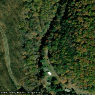
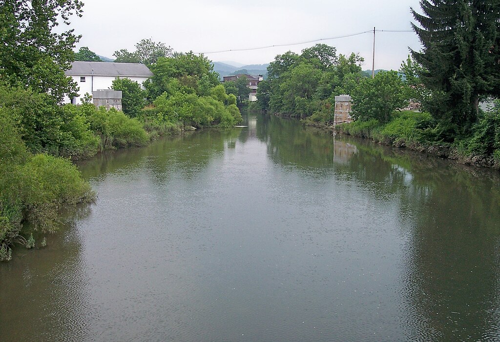
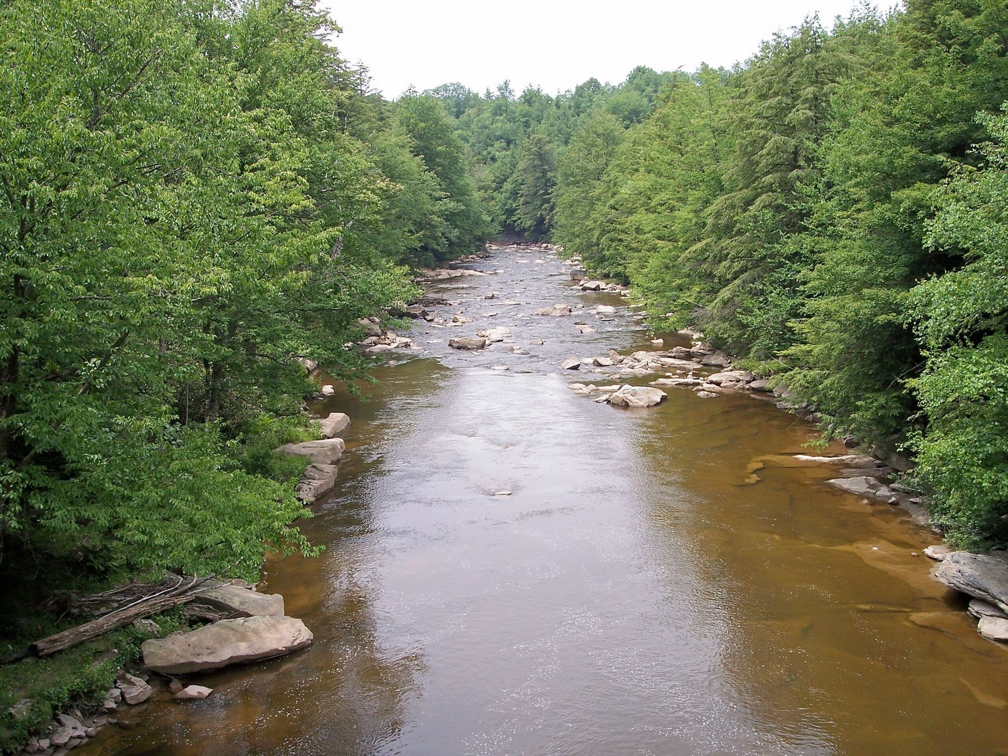
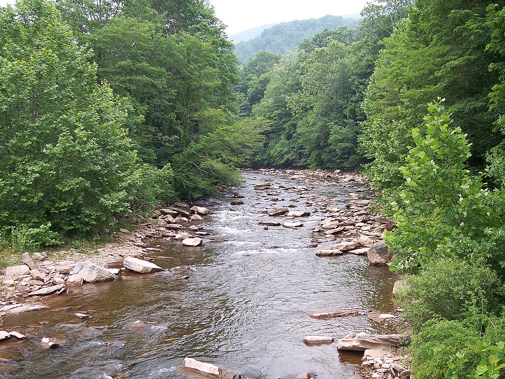
The Savage River, located in western Maryland's Garrett County, is a waterway that offers paddlers a range of experiences from peaceful flatwater to challenging whitewater. This river system consists of three distinct sections: the upper river, the Savage River Reservoir, and the lower whitewater section.
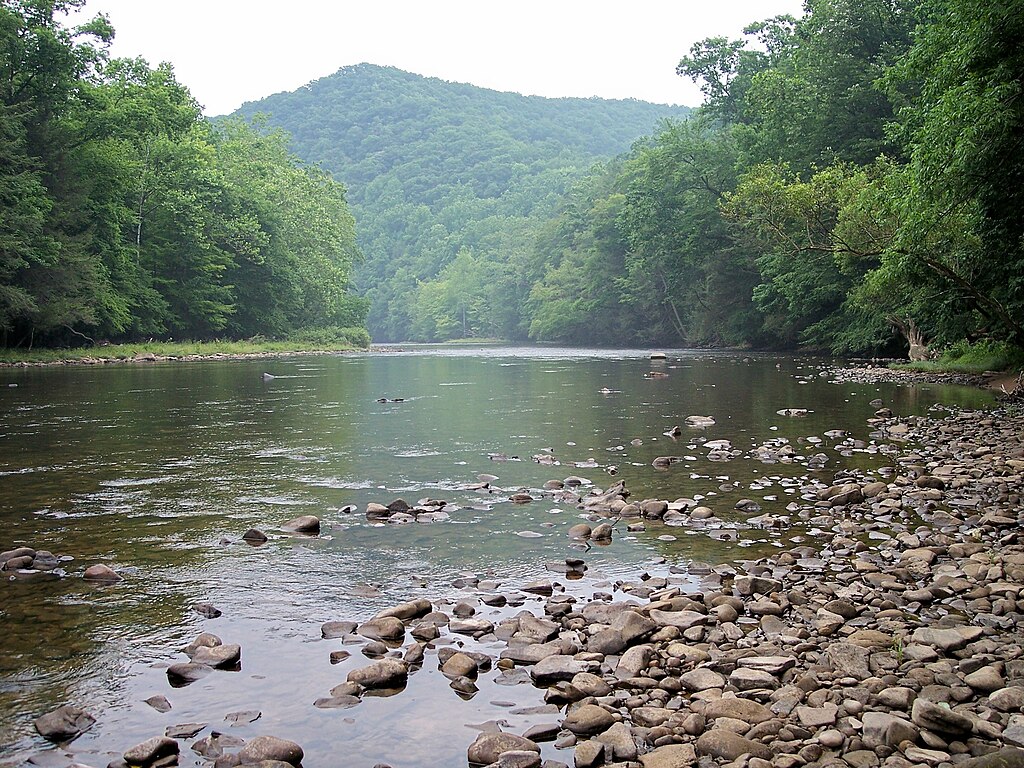
The upper section, stretching 12.5 miles from Avilton Lonaconing Road to the head of Savage River Reservoir, provides a mix of Class I-III rapids with occasional Class IV features at higher water levels. This run winds through the picturesque Savage River State Forest, offering paddlers a wilderness experience with a moderate level of difficulty suitable for intermediate kayakers and canoeists.
At the heart of the system lies the Savage River Reservoir, a 230-acre body of water nestled within the state forest. This tranquil flatwater section is perfect for novice paddlers, anglers, and wildlife enthusiasts. Only non-motorized boats and small electric-powered craft are permitted, preserving the peaceful atmosphere. The reservoir has three main access points: near the Savage River Dam, at Dry Run on the western shore, and at the northern end in Big Run State Park.
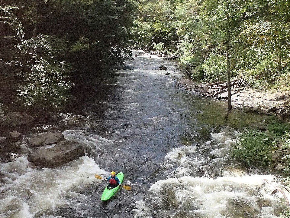
Below the Savage River Dam, paddlers encounter the river's most famous section - a 4.5-mile stretch of challenging whitewater that has earned international recognition. This segment, which hosted the 1988 and 1989 World Kayak and Canoe Championships, features intense Class III-IV rapids, particularly in the first 2.5 miles. The lower half eases slightly but maintains an exciting Class II-III character as it flows through a scenic gorge before joining the North Branch Potomac River near Bloomington.
The Savage River's flow is largely controlled by releases from the Savage River Dam, making it a reliable destination for whitewater enthusiasts even during drier months. Scheduled releases typically occur a few times each year, usually in spring and fall, transforming the lower section into a world-class whitewater run. Outside of these releases, the river can still offer good paddling opportunities during spring runoff or after significant rainfall.
Wildlife along the Savage River is abundant and diverse. Paddlers may spot grouse, ducks, great blue herons, kingfishers, and minks. The surrounding forest is home to a variety of plant species, including some of Maryland's last remaining old-growth forests.
For those planning multi-day trips, the Savage River can be combined with runs on the nearby North Branch Potomac River or incorporated into longer adventures along the Eastern Continental Divide Loop. The towns of Westernport and Luke provide convenient access points and services for paddlers.
Safety is paramount on the Savage River, especially during high-water releases. Paddlers should be aware of their skill levels, wear appropriate safety gear, and be prepared for remote settings with limited cell phone coverage. It's advisable to check current flow information and release schedules before planning a trip.
Whether you're seeking a peaceful paddle on the reservoir, an intermediate adventure on the upper section, or an adrenaline-pumping ride through world-class rapids, the Savage River offers a remarkable paddling experience in the heart of Maryland's mountain country.