Dry Fork
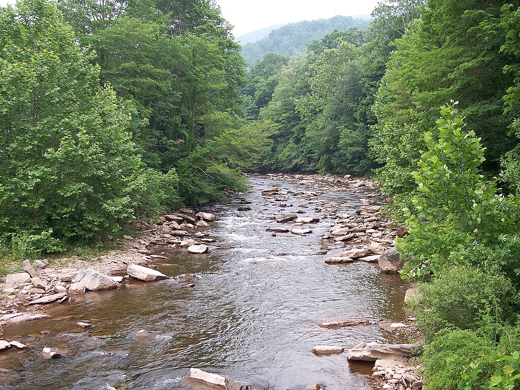
Dry Fork
- Boat Ramps
- 1
- Access Points
- 8
- Campsites
- 11
Dry Fork rises in the high country of Randolph County near the Allegheny Front, beginning its northward journey through some of West Virginia's most remote terrain. The river flows approximately 39 miles before joining the Black Fork near Hendricks in Tucker County, forming the Black Fork of the Cheat River. Along its course, the river descends through forested valleys and past occasional waterfalls cascading from tributary streams, particularly along the left bank in the lower sections.
The paddling experience on Dry Fork varies considerably by section. The upper reaches from Job to the community of Dry Fork offer straightforward Class II water flowing through highland meadow farms, with the primary hazards being occasional fallen trees or low-water bridges. The middle section from CR 32/4 bridge to Jenningston maintains Class I-II character with good current and few technical demands. The lower section from Jenningston to Hendricks transforms into the river's most celebrated stretch, featuring nearly continuous Class III-IV whitewater over a 10-12 mile run. This lower section drops approximately 400 feet per mile in places, creating numerous ledge drops, wave trains, and excellent surf features that have made it a favorite among intermediate and advanced paddlers.
Paddlers should possess solid boat control, reliable eddy turns, and a dependable roll for the lower section, while the upper reaches accommodate less experienced boaters. The river requires significant rainfall or snowmelt to reach runnable levels, typically flowing best from February through May. Minimum flows around 700 cfs at the Hendricks gauge are necessary for the lower section, with optimal conditions between 1,000-3,000 cfs. Above 4,000 cfs, the river becomes pushy and hole-intensive.
Access points include bridges along River Road in Randolph County and at Jenningston and Hendricks in Tucker County. The town of Harman in Randolph County serves as a logical staging area for upper sections, while Hendricks provides takeout facilities for the popular lower run. The shuttle along the lower section follows a small country road that parallels the river, allowing for easy scouting.
The river corridor remains largely undeveloped through Randolph County, with the valley widening somewhat as it approaches Tucker County. Wildlife sightings include white-tailed deer, wild turkey, and various woodland birds. The surrounding Monongahela National Forest provides primitive camping opportunities along much of the upper river.
Safety considerations include the remote nature of much of the drainage, cold water temperatures even into late spring, and the potential for strainers in the upper sections. The lower section's continuous nature means committing to several miles of whitewater once started, with limited exit points until Hendricks.
Water access, boat ramps & amenities
Learn how to get on Dry Fork. Uncover great paddling access points, boat ramps, and all the facilities you need for an unforgettable day on the water. Some locations shown may border or include private property. Always check property boundaries and applicable regulations before visiting. PaddleWays's Public & Private Land layer can help you plan your access with confidence.
CR 32/4 Access
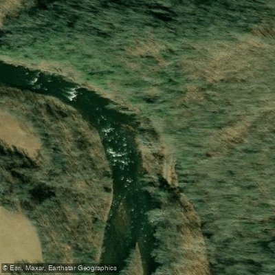
Put-in /Take - out. Route 43/20
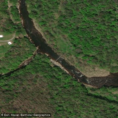
Takeout / Put-in Otter Creek Footbridge
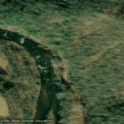
Put-in / Take - out Parking
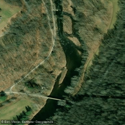
Jenningston Road Access
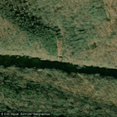
Dry Fork at Mill Run Access
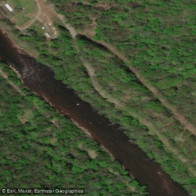
American Discovery Trail Access
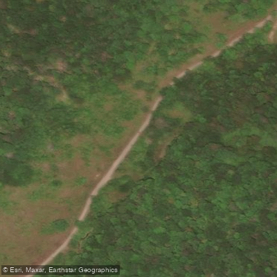
Dry Fork Road Access
Paddle smarter with real-time insights
Whether you're en route and conditions shift or you're looking for the best spot based on current flows, we enable you to make informed decisions on the fly.








Find Places to Paddle

Over 400,000 Places to Paddle
Every user gets free access to launch points, boat ramps, and public property parcels.


Water and weather conditions (10 day forecast)
See the best times to paddle Dry Fork and check the forecast before you go.
DRY FORK AT HENDRICKS, WV
All Flow Stations
Paddling near Dry Fork
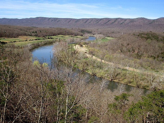
South Fork Shenandoah River
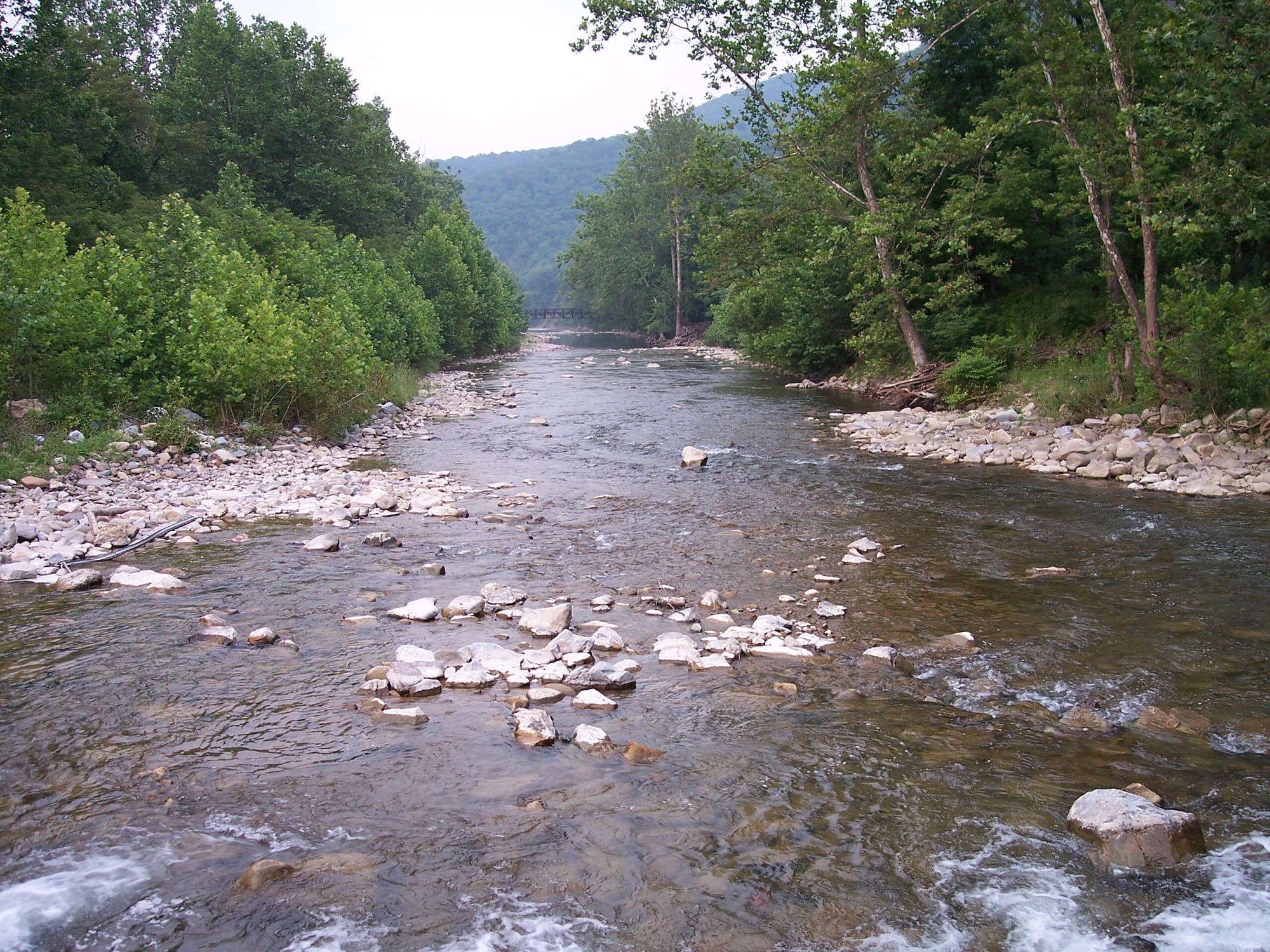
North Fork South Branch Potomac River

James River
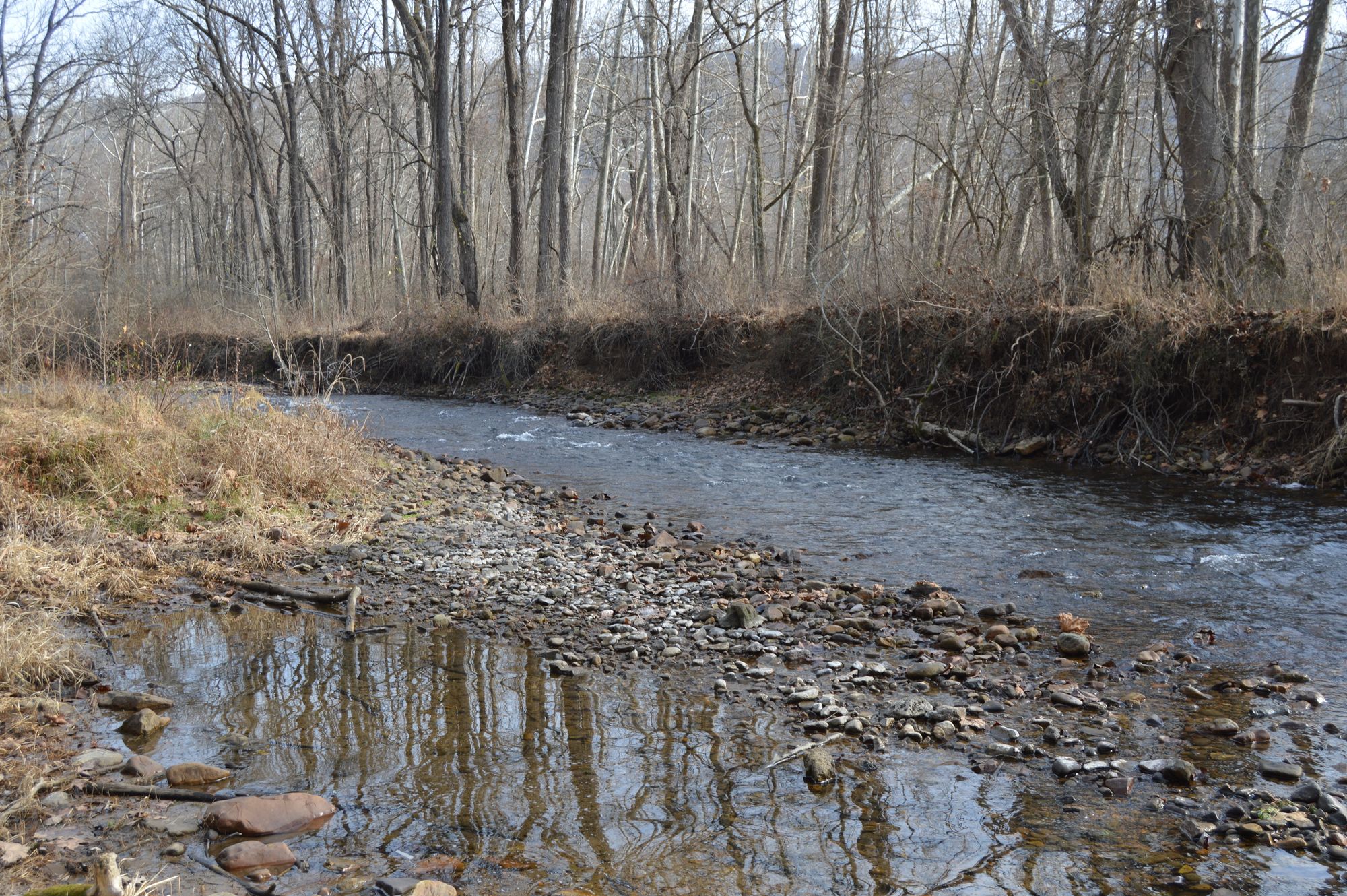
Jackson River
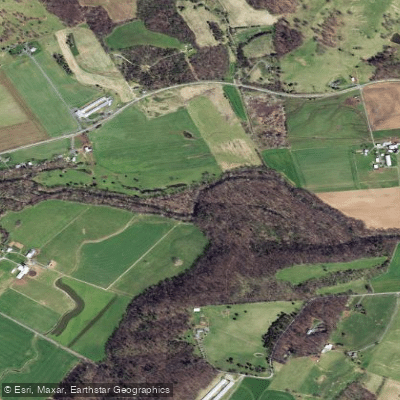
North River
North Fork Shenandoah River
South River
Skidmore Fork Lake
Beaver Creek Reservoir
Explore West Virginia waters
Top paddling waters
Popular Cities
Loading popular cities...
Explore near Dry Fork
Access points
- Dry Fork at Mill Run Boat Ramp
- CR 32/4 Access
- Put-in /Take - out. Route 43/20
- Takeout / Put-in Otter Creek Footbridge
- Put-in / Take - out Parking
- Jenningston Road Access
- Dry Fork at Mill Run Access
- American Discovery Trail Access
- Dry Fork Road Access
- Brooklyn Heights Campground
- Roadside free camping
- Cooper's Campground
- All 26 spots
Nearby waters
More in West Virginia

Smarter Paddling Starts in the App.
Paddleways gives you everything you need to plan smarter, paddle better, and own every trip from first launch to takeout.