Shavers Fork
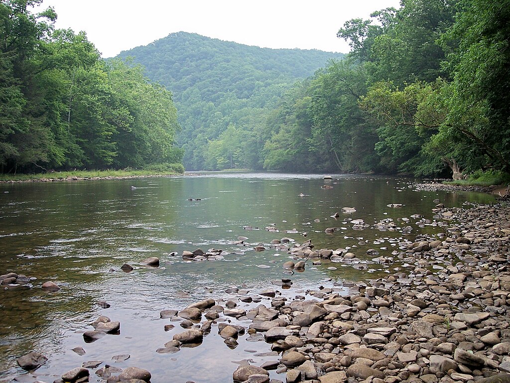
Shavers Fork
- Boat Ramps
- 1
- Access Points
- 13
- Campsites
- 16
The Shavers Fork is a major tributary of the Cheat River in eastern West Virginia, originating high in the Monongahela National Forest near Snowshoe Mountain Resort. Flowing northward for approximately 88 miles, it joins the Black Fork at Parsons to form the Cheat River. The Shavers Fork is renowned as the highest large stream east of the Rocky Mountains, with its headwaters at over 4,000 feet in elevation. This scenic river offers a diverse range of paddling opportunities across its length.
The upper sections from Cheat Bridge to McGee Run provide mostly Class I-II waters suitable for beginners and intermediate paddlers, with a few spots approaching Class III. The middle section from McGee Run to Bemis presents a challenging Class V run for expert whitewater enthusiasts. Below Bemis, the river eases back to Class II-III difficulty as it approaches Parsons. The Shavers Fork is best paddled in spring and early summer when snowmelt and rainfall provide adequate water levels. Its tea-colored water, stained by tannins from decomposing spruce and hemlock needles, is a distinctive feature of this high-quality Appalachian stream.
The river corridor supports a rich ecosystem, including native brook trout, river otters, and diverse bird species. The surrounding forests of red spruce, hemlock, and northern hardwoods create a lush, remote setting for paddlers. Key access points include Cheat Bridge, Bowden, and Parsons. The Stuart Recreation Area, accessible via Forest Road 92, serves as a popular put-in for longer trips. The remote nature of much of the river requires careful planning and self-sufficiency for paddlers.
Historically, the Shavers Fork played a crucial role in the region's timber industry, with remnants of old logging camps and railroad grades still visible along its banks. Today, it's valued for its recreational opportunities and as a vital part of the Cheat River watershed. Multi-day trips are possible, with a classic 32-mile run from Cheat Bridge to Bowden offering a mix of whitewater challenges and scenic floating. Paddlers should be aware of potential strainers and always check current conditions before embarking. The Shavers Fork's unique combination of high elevation, pristine waters, and varied paddling experiences make it a prized destination for river enthusiasts in the Mid-Atlantic region.
Water access, boat ramps & amenities
Learn how to get on Shavers Fork. Uncover great paddling access points, boat ramps, and all the facilities you need for an unforgettable day on the water. Some locations shown may border or include private property. Always check property boundaries and applicable regulations before visiting. PaddleWays's Public & Private Land layer can help you plan your access with confidence.
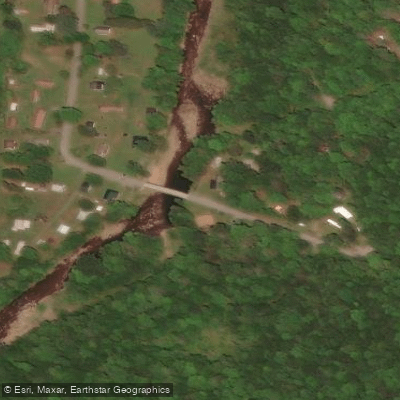
Bemis Access
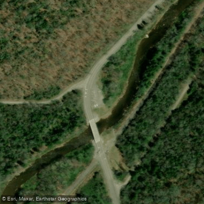
Cheat Bridge Access
Forest Road 233 Access
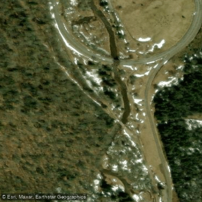
Spruce Access
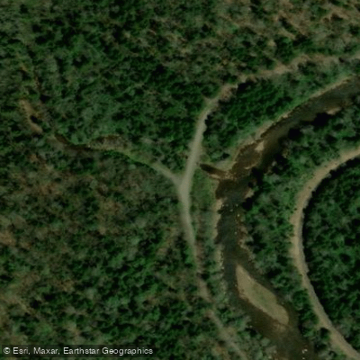
Stonecoal Run Rd Access
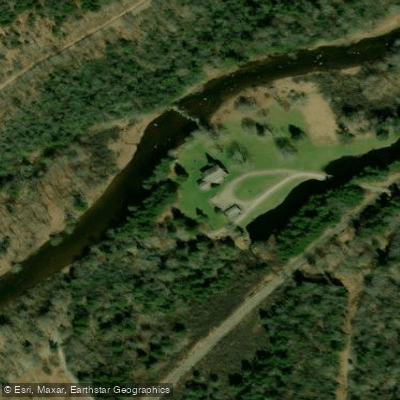
Cheat Mountain Club Access
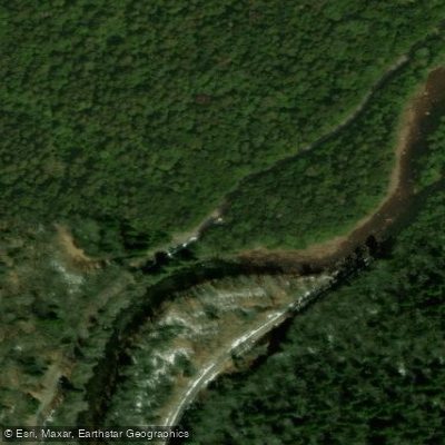
Forest Road 233 Access
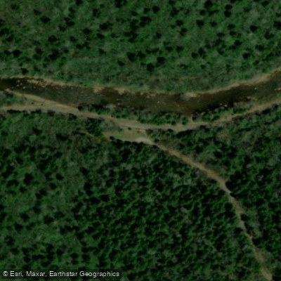
Public Rd 27 Access
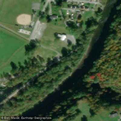
River City Park Access
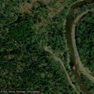
Forest Road 209 Access
Paddle smarter with real-time insights
Whether you're en route and conditions shift or you're looking for the best spot based on current flows, we enable you to make informed decisions on the fly.








Find Places to Paddle

Over 400,000 Places to Paddle
Every user gets free access to launch points, boat ramps, and public property parcels.


Water and weather conditions (10 day forecast)
See the best times to paddle Shavers Fork and check the forecast before you go.
SHAVERS FORK NR CHEAT BRIDGE, WV
All Flow Stations
Paddling near Shavers Fork
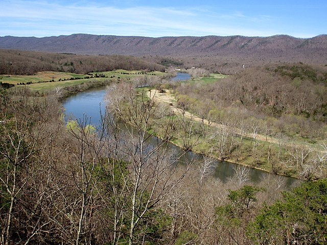
South Fork Shenandoah River
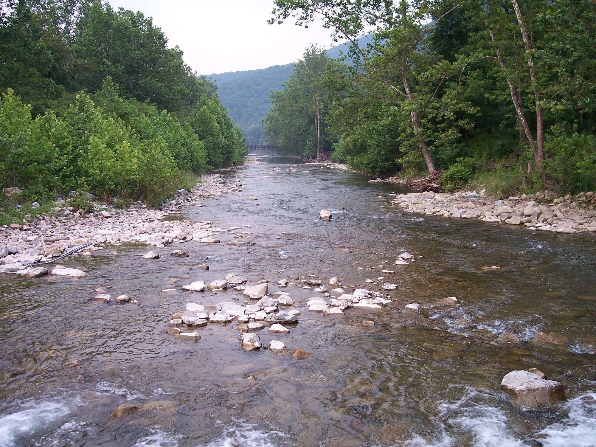
North Fork South Branch Potomac River

James River
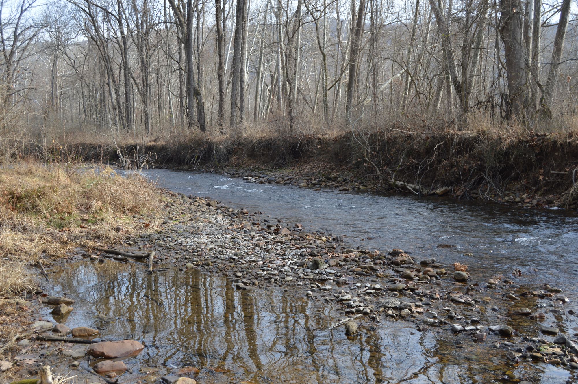
Jackson River
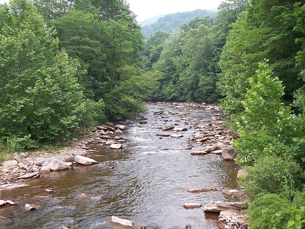
Dry Fork
North River
North Fork Shenandoah River
South River
Skidmore Fork Lake
Beaver Creek Reservoir
Explore West Virginia waters
Top paddling waters
Popular Cities
Loading popular cities...
Explore near Shavers Fork
Access points
Nearby waters
More in West Virginia

Smarter Paddling Starts in the App.
Paddleways gives you everything you need to plan smarter, paddle better, and own every trip from first launch to takeout.