Mullett Lake
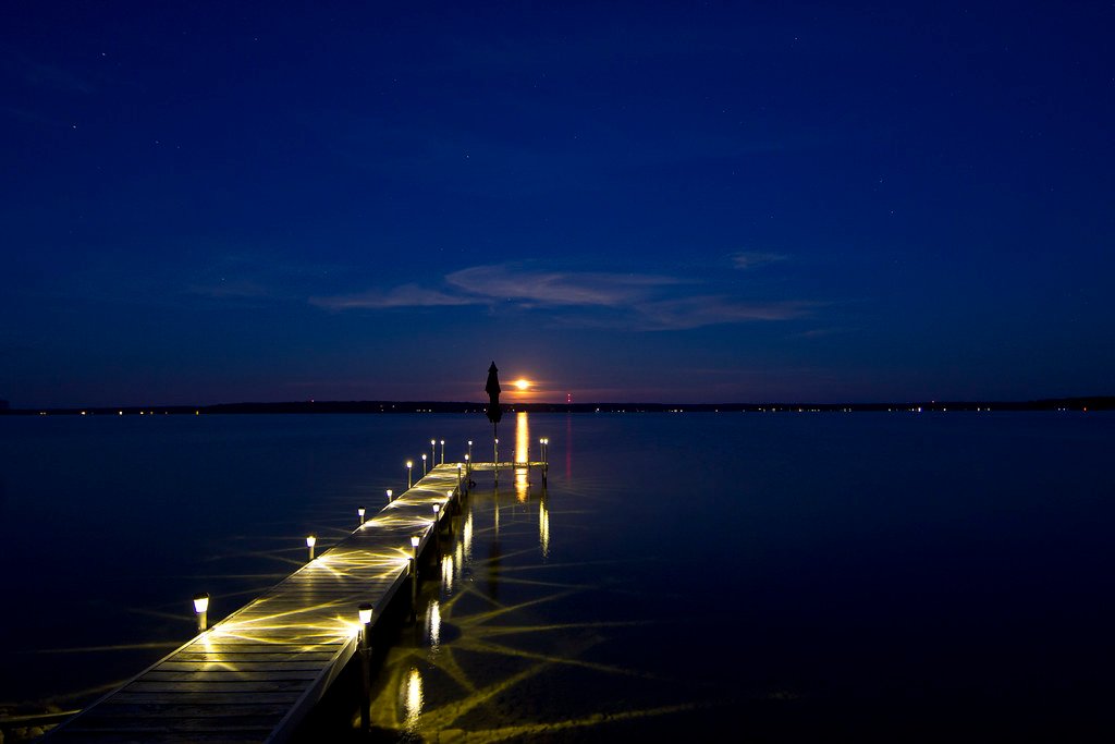
Mullett Lake
- Boat Ramps
- 7
- Access Points
- 7
- Campsites
- 4
Mullett Lake is Michigan's fifth largest inland lake, covering 16,630 acres with a maximum depth of 144 feet. Located in Northern Michigan, it is part of the 40-mile Inland Waterway chain of rivers and lakes. The lake offers excellent opportunities for paddling, with crystal-clear waters and scenic views.
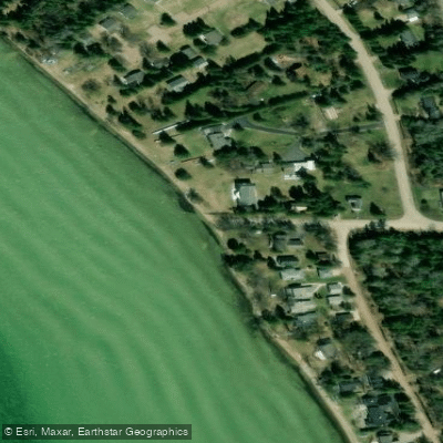
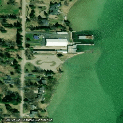
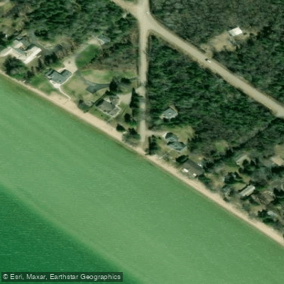
Several public access points are available for launching kayaks and canoes. Aloha State Park on the east side of the lake provides a sandy beach and dock ideal for non-motorized craft launches. The Topinabee Public Access on the northwest side offers a boat launch and fishing pier.
Popular paddling activities include fishing, wildlife watching, and exploring the shoreline. Anglers can target walleye, perch, and northern pike. The surrounding area features wetlands and forests, providing habitat for various bird and animal species.
Water levels are managed seasonally, with a 12-inch winter drawdown from October 15 to March 31 to minimize ice damage. Spring levels are gradually raised by mid-April. Summer is the most popular time to visit, but fall offers stunning foliage with fewer crowds.
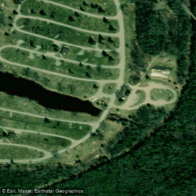
Facilities at Aloha State Park include modern campgrounds, picnic areas, restrooms, and a playground. The adjacent Aloha General Store rents kayaks and supplies. A Recreation Passport is required to enter the park.
Paddlers should be aware that Mullett Lake is popular for motorized boating as well. Standard boating regulations apply. Water quality is generally good.
The lake is part of a complex watershed spanning multiple counties, eventually draining into Lake Huron. Its size and connection to other waterways make it suitable for both day trips and multi-day expeditions along the Inland Waterway.
Water access, boat ramps & amenities
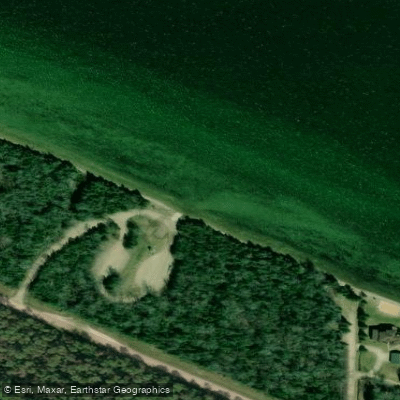
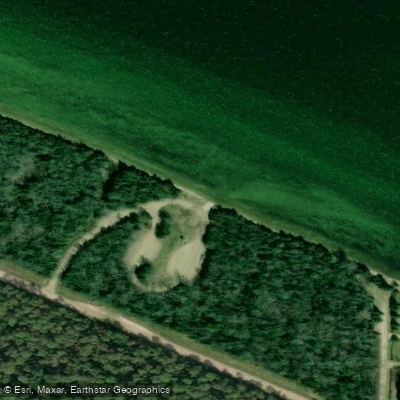
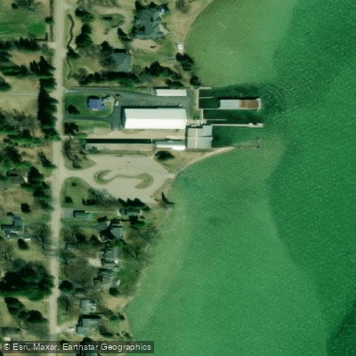
Learn how to get on Mullett Lake. Uncover great paddling access points, boat ramps, and all the facilities you need for an unforgettable day on the water. Some locations shown may border or include private property. Always check property boundaries and applicable regulations before visiting. PaddleWays's Public & Private Land layer can help you plan your access with confidence.
Paddle smarter with real-time insights
Whether you're en route and conditions shift or you're looking for the best spot based on current flows, we enable you to make informed decisions on the fly.








Find Places to Paddle

Over 400,000 Places to Paddle
Every user gets free access to launch points, boat ramps, and public property parcels.


Water and weather conditions (10 day forecast)
See the best times to paddle Mullett Lake and check the forecast before you go.
No forecast data available.
Paddling near Mullett Lake

Lake Michigan
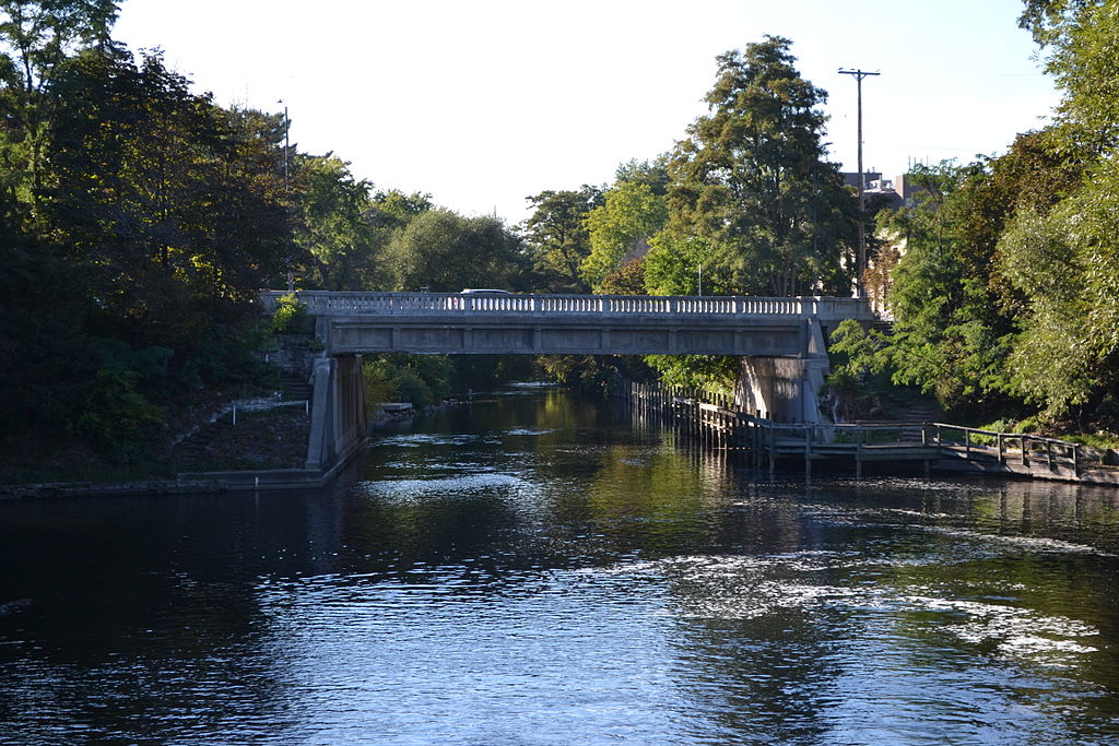
Boardman River
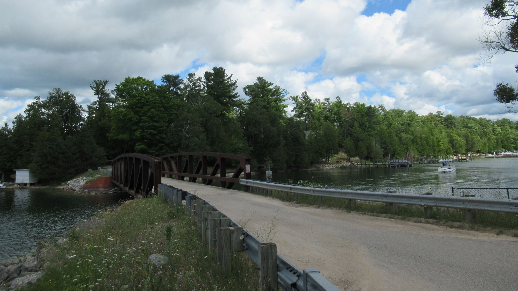
Lake Charlevoix
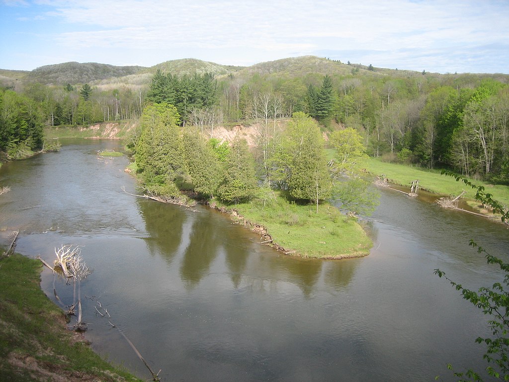
Manistee River
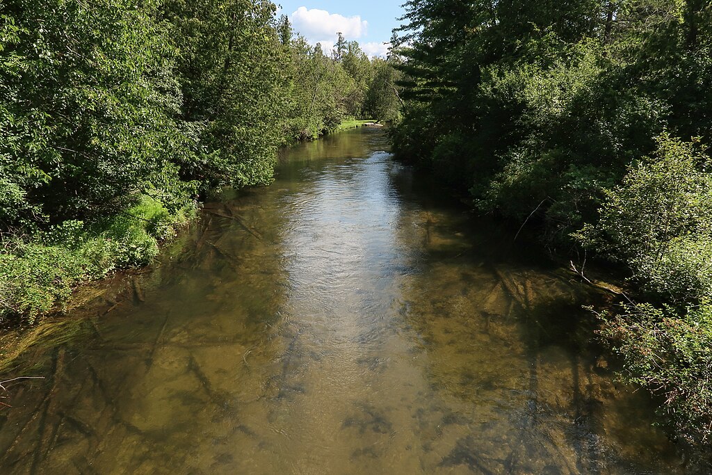
Jordan River
Betsie River
Lake Leelanau
Torch Lake
Glen Lake
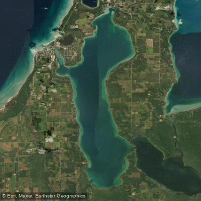
Elk Lake
Explore Michigan waters
Top paddling waters
Popular Cities
Loading popular cities...
Explore near Mullett Lake
Access points
Nearby waters
More in Michigan

Smarter Paddling Starts in the App.
Paddleways gives you everything you need to plan smarter, paddle better, and own every trip from first launch to takeout.