Muskegon River
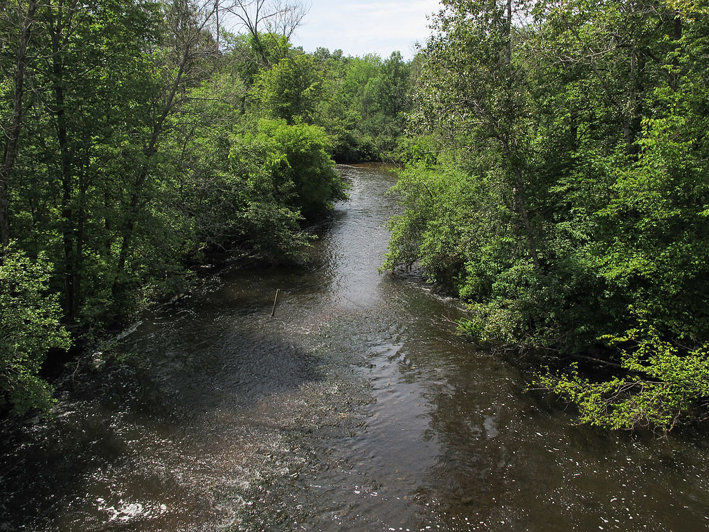
Muskegon River
- Boat Ramps
- 26
- Access Points
- 40
- Campsites
- 25
The Muskegon River, located in Michigan, is a waterway that offers a wide range of paddling experiences for enthusiasts of all skill levels. Stretching for over 200 miles, this river system winds through picturesque landscapes of pine, oak, maple, beech, and aspen forests, providing a quintessential Michigan outdoor experience.
The river can be divided into several distinct sections, each with its own character and challenges. The upper reaches, particularly the stretch from M-55 to Leota, present a wild and untamed environment that demands experienced paddling skills. This section features numerous obstacles and may require frequent portages, making it suitable for adventurous paddlers seeking a true wilderness experience.
As the river flows downstream, it becomes more accessible and family-friendly. The Newaygo area offers a delightful paddling experience with wide, smooth-flowing waters perfect for leisurely float trips. This section is ideal for both novice and experienced paddlers, with its gentle current and scenic shorelines.
For those seeking a bit more excitement, the Newaygo to Croton section provides a swift current and twisting nature, offering Class II-III rapids that can become more challenging during high water periods. This 17.9-mile stretch is popular among experienced paddlers and offers opportunities for riverside picnics and swimming.
The Muskegon River is generally best paddled from late spring through early fall, with water levels and temperatures being most favorable during this period. However, it's important to check current conditions, as water levels can significantly impact the difficulty of certain sections.
Wildlife enthusiasts will appreciate the abundant opportunities for spotting native plants, fish, birds, turtles, and other animals along the river's course. The Mill Iron Road Loop, a unique 2-mile upstream paddle near Newaygo, is particularly noted for its quiet surroundings and wildlife viewing opportunities.
Key access points and nearby towns include Newaygo, Croton, and Leota, with several outfitters and rental services available in these areas. The Croton Dam serves as a significant landmark and popular starting point for many river trips.
Safety considerations are paramount on the Muskegon River, particularly in the more challenging upper sections and during periods of high water. Paddlers should always wear life jackets, be aware of their skill level, and choose appropriate sections of the river accordingly.
For those interested in multi-day adventures, the river offers several options. A popular trip involves paddling from Newaygo to Croton Dam, with opportunities for camping along the way. However, it's essential to plan carefully and be aware of private property boundaries.
The Muskegon River holds cultural significance as a longtime recreational destination for Michigan residents and visitors alike. Its waters have supported local communities for generations, offering not only recreational opportunities but also serving as an important ecological and economic resource for the region.
Whether you're seeking a peaceful float through serene forests, an exciting whitewater adventure, or a multi-day paddling expedition, the Muskegon River offers a diverse array of experiences that showcase the natural beauty of Michigan's waterways.
Water access, boat ramps & amenities
Learn how to get on Muskegon River. Uncover great paddling access points, boat ramps, and all the facilities you need for an unforgettable day on the water. Some locations shown may border or include private property. Always check property boundaries and applicable regulations before visiting. PaddleWays's Public & Private Land layer can help you plan your access with confidence.
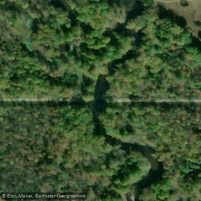
Kelly Road Access
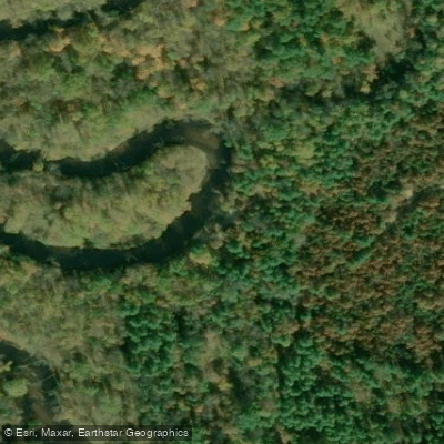
Pond Road Access
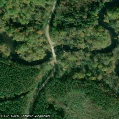
South Dolph Road Access
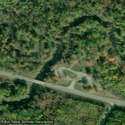
Ben D. Jeffs River Park Access
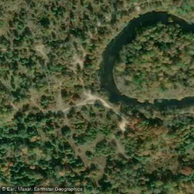
Dolph Road Access
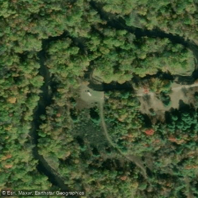
Jeffs Road Access
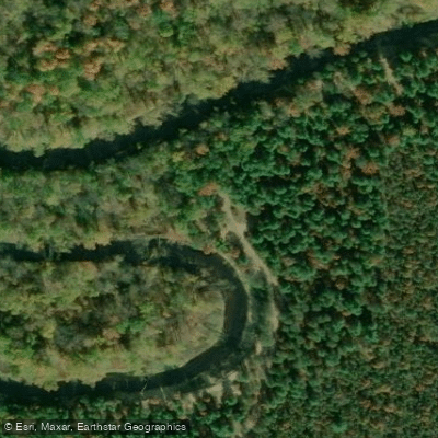
Porky Road Access
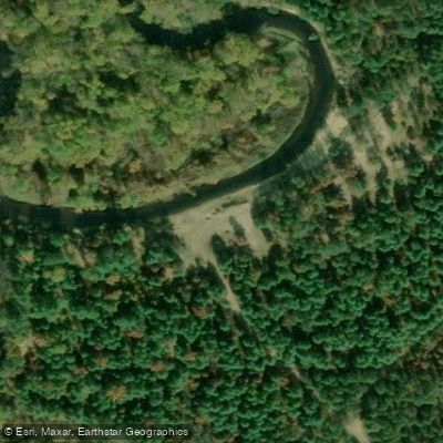
Porky Road Access
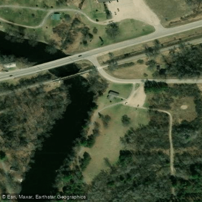
Riverside Park Access
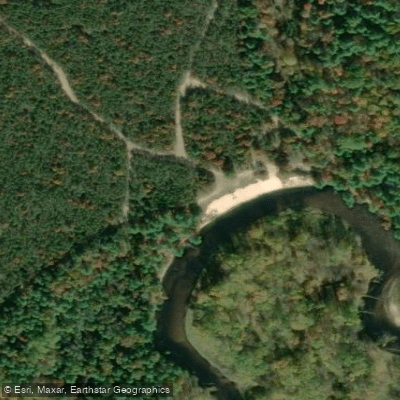
McKinley Road Access
Paddle smarter with real-time insights
Whether you're en route and conditions shift or you're looking for the best spot based on current flows, we enable you to make informed decisions on the fly.








Find Places to Paddle

Over 400,000 Places to Paddle
Every user gets free access to launch points, boat ramps, and public property parcels.


Water and weather conditions (10 day forecast)
See the best times to paddle Muskegon River and check the forecast before you go.
MUSKEGON RIVER AT BIG RAPIDS, MI
All Flow Stations
Paddling near Muskegon River
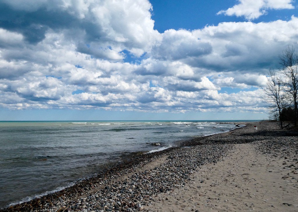
Lake Huron
Flat River
Shiawassee River
Grand River
Stevenson Lake
Chippewa River
Halls Lake
Crystal Lake
Tittabawassee River
Explore Michigan waters
Top paddling waters
Popular Cities
Loading popular cities...
Explore near Muskegon River
Access points
Nearby waters
More in Michigan

Smarter Paddling Starts in the App.
Paddleways gives you everything you need to plan smarter, paddle better, and own every trip from first launch to takeout.