Grand River
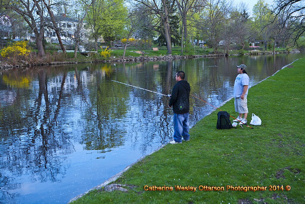
Grand River
- Boat Ramps
- 57
- Access Points
- 66
- Campsites
- 14
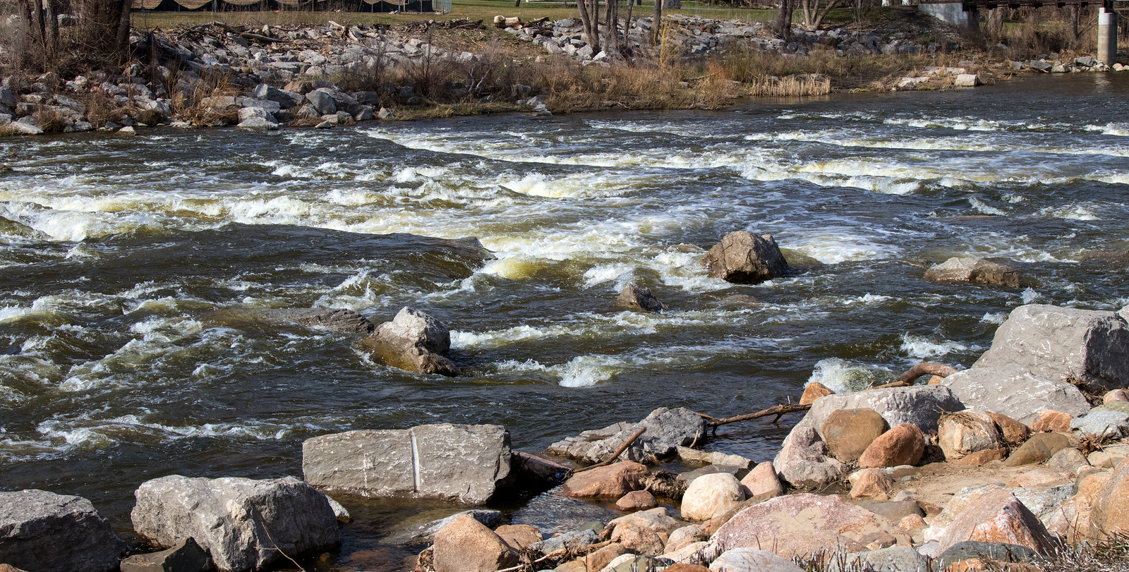
The Grand River is Michigan's longest river, flowing 252 miles from its headwaters in Jackson County westward to its mouth at Lake Michigan in Grand Haven. This mighty waterway drains a watershed of over 5,570 square miles across central and western Michigan. Paddlers can enjoy a diverse range of experiences along the Grand, from peaceful flatwater stretches in the upper reaches to more challenging sections with Class I rapids downstream. The river is divided into three main segments: the Upper Grand River Water Trail (91 miles), the Middle Grand River Water Trail (87 miles), and the Grand River Heritage Water Trail (41 miles) near the mouth. The difficulty ranges from beginner-friendly flatwater to Class I rapids, making it accessible to paddlers of various skill levels.
Spring and early summer typically offer the best water levels, though the river is generally paddleable from April through October. Wildlife enthusiasts can spot a variety of species, including bald eagles, great blue herons, and river otters. The river corridor supports diverse ecosystems, from wetlands to hardwood forests. Key landmarks include the proposed whitewater park in downtown Grand Rapids, historic bridges, and the scenic transition to Lake Michigan in Grand Haven. Notable access points include Tompkins Road DNR Boat Launch near Jackson, Mill Pointe Park in Eaton Rapids, and Riverside Park in Grand Rapids.
The Grand River holds immense historical and cultural significance, having been a vital transportation route for Native American tribes and early European settlers. Today, it continues to play a crucial role in the region's ecology, recreation, and economy. Safety considerations include checking water levels, being aware of dams and portages, and following all local regulations. Multi-day trips are possible, with numerous camping options along the route. The ongoing river restoration project in Grand Rapids aims to remove dams and restore the namesake rapids, which will create new recreational opportunities and improve the river's ecological health.
From its peaceful upper reaches to the bustling urban sections and finally its merger with Lake Michigan, the Grand River offers a quintessential Michigan paddling experience, showcasing the state's natural beauty and rich history.
Water access, boat ramps & amenities
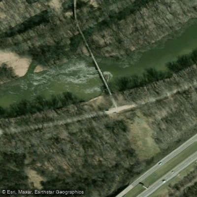
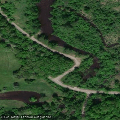
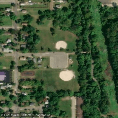
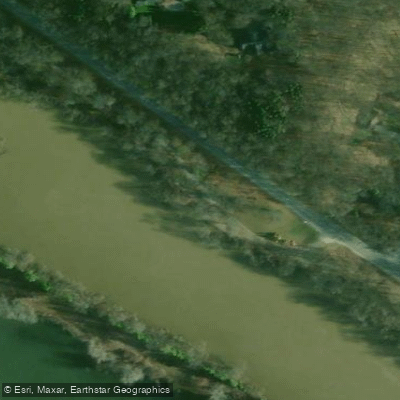
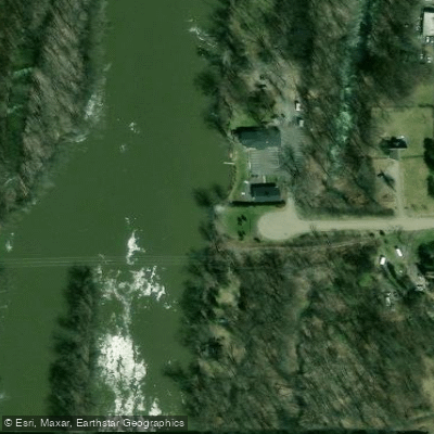
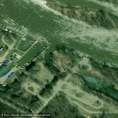
Learn how to get on Grand River. Uncover great paddling access points, boat ramps, and all the facilities you need for an unforgettable day on the water. Some locations shown may border or include private property. Always check property boundaries and applicable regulations before visiting. PaddleWays's Public & Private Land layer can help you plan your access with confidence.
Paddle smarter with real-time insights
Whether you're en route and conditions shift or you're looking for the best spot based on current flows, we enable you to make informed decisions on the fly.








Find Places to Paddle

Over 400,000 Places to Paddle
Every user gets free access to launch points, boat ramps, and public property parcels.


Water and weather conditions (10 day forecast)
See the best times to paddle Grand River and check the forecast before you go.
GRAND RIVER AT JACKSON, MI
All Flow Stations
Paddling near Grand River
Shiawassee River
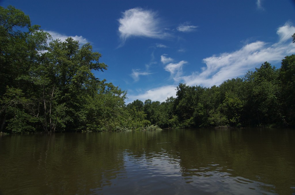
Kalamazoo River
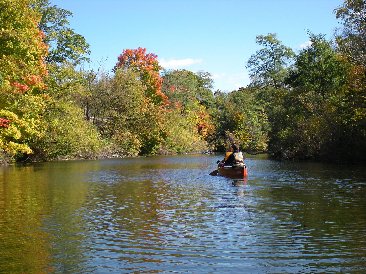
Huron River
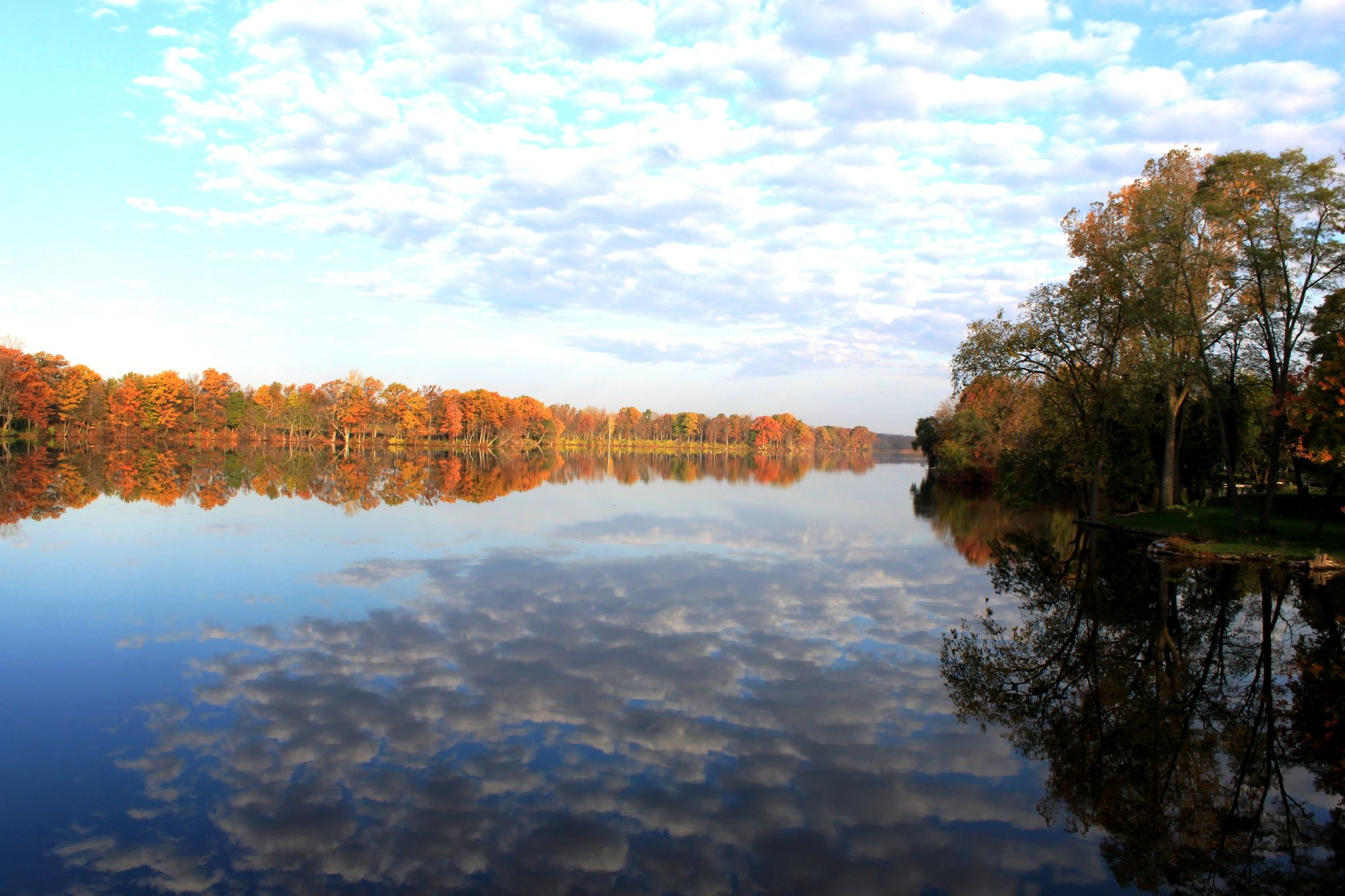
River Raisin
Flat River
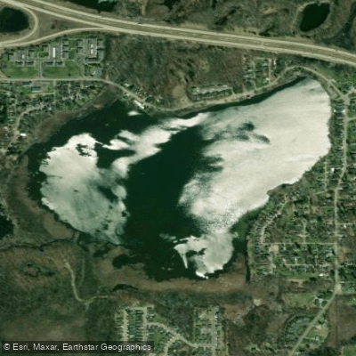
Park Lake
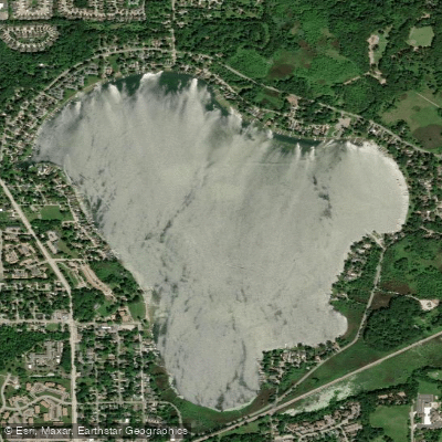
Lake Lansing
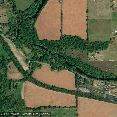
Thornapple River

Lake Ovid
Explore Michigan waters
Top paddling waters
Popular Cities
Loading popular cities...
Explore near Grand River
Access points
Nearby waters
More in Michigan

Smarter Paddling Starts in the App.
Paddleways gives you everything you need to plan smarter, paddle better, and own every trip from first launch to takeout.