Manistee River
Manistee River
- Boat Ramps
- 32
- Access Points
- 58
- Campsites
- 26
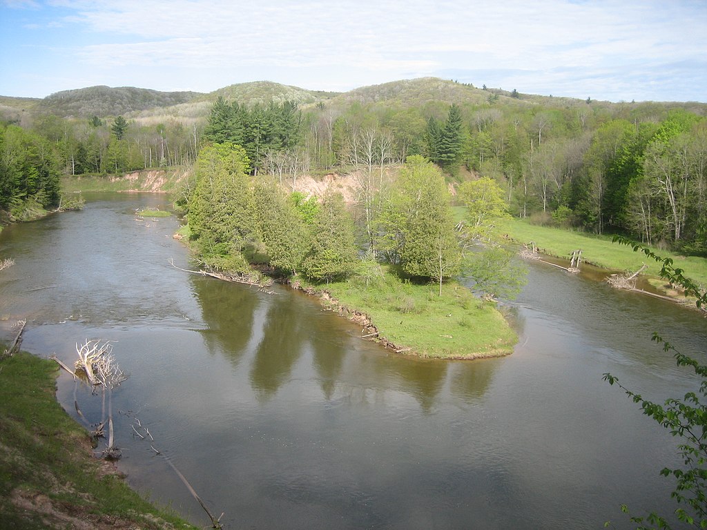
The Manistee River is a scenic waterway that winds through the heart of northern Michigan, offering paddlers a diverse and rewarding experience. Stretching approximately 165 miles from its headwaters near Grayling to its mouth at Lake Michigan, the Manistee cuts through pristine forests, creating a postcard-worthy landscape at every turn.
The river is divided into several distinct sections, each with its own character. The upper reaches, while beautiful, can be challenging and are not recommended for novice paddlers. As the river progresses, it becomes more accommodating, with the middle and lower sections offering a mix of gentle floats and occasional swift currents that are suitable for beginners to intermediate paddlers.
One of the most popular stretches is the 11.6-mile section from Hodenpyl Dam to Red Bridge, which takes about 4 hours to float and is renowned for its stunning scenery and high banks. Another favored route is the Little Manistee River from the Weir to Old Stronach Bridge, a relaxing 3.5-mile journey perfect for a lazy afternoon float.
The Manistee's difficulty ranges from flatwater to Class II rapids, depending on the section. The river's gradient averages about 4 feet per mile, with depths varying from 1 to 6 feet. This variety makes it an excellent training ground for paddlers looking to improve their skills.
Spring and early summer typically offer the best water levels for paddling, though the river is enjoyable throughout the warm months. Fall brings spectacular colors to the surrounding forests, making it a favorite time for scenic trips. Winter paddling is possible for experienced adventurers, but requires proper equipment and caution.
The river corridor is home to a diverse ecosystem. Paddlers may spot bald eagles soaring overhead, deer drinking at the water's edge, or even the occasional black bear. The banks are lined with a mix of hardwoods, cedars, and pines, filling the air with a refreshing scent.
Notable landmarks include the Little Mac suspension bridge, a 245-foot-long footbridge that spans the river, and the Little Manistee River Weir, where salmon and steelhead are harvested for egg collection. The river passes through or near several small towns, including Wellston and Manistee, which offer access points and amenities for paddlers.
Historically, the Manistee played a crucial role in Michigan's logging industry, and remnants of this heritage can still be seen along its banks. Today, it's prized for its recreational value and as a vital habitat for fish and wildlife.
Safety is paramount on the Manistee. All paddlers should wear life jackets, as some sections can be surprisingly deep. Be aware of weather conditions and potential hazards like submerged logs or overhanging branches. Some sections, particularly near dams, may have specific regulations or closures, so it's wise to check current conditions before your trip.
For those seeking a multi-day adventure, the full 165-mile journey from the headwaters to Lake Michigan is a bucket-list trip for many paddlers. This epic voyage typically takes about a week, offering a comprehensive experience of the river's changing character and the surrounding wilderness.
Whether you're looking for a quick afternoon float or an extended wilderness experience, the Manistee River offers a paddling opportunity to suit every skill level and interest, making it one of Michigan's premier paddling destinations.
Water access, boat ramps & amenities
Learn how to get on Manistee River. Uncover great paddling access points, boat ramps, and all the facilities you need for an unforgettable day on the water. Some locations shown may border or include private property. Always check property boundaries and applicable regulations before visiting. PaddleWays's Public & Private Land layer can help you plan your access with confidence.
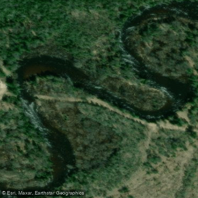
Dutch John Road Access
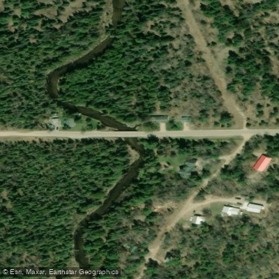
Fishing Access Site
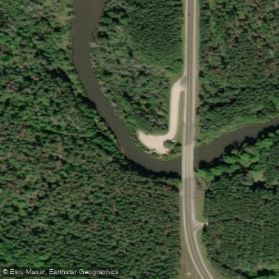
Baxter Bridge Access
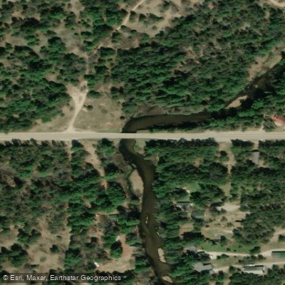
Canoe Launch
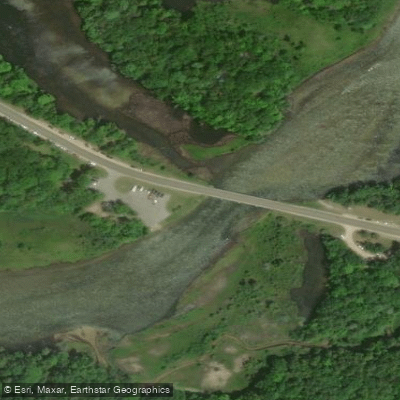
Red Bridge River Access
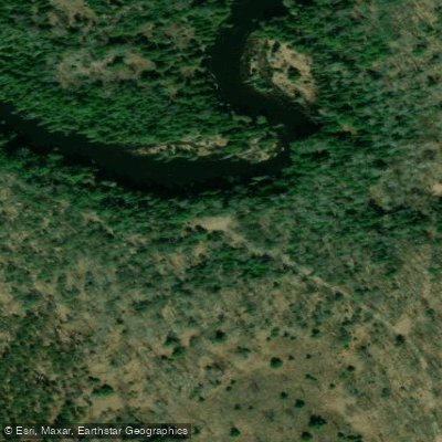
South Manistee River Access
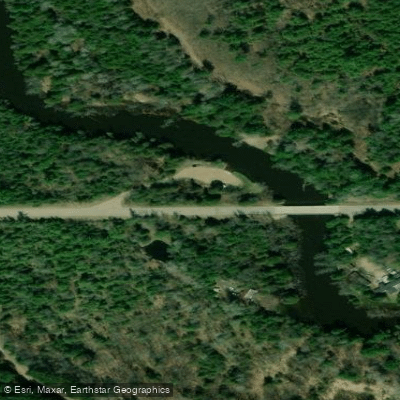
Access
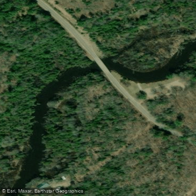
Rainbow Jim's Bridge Access
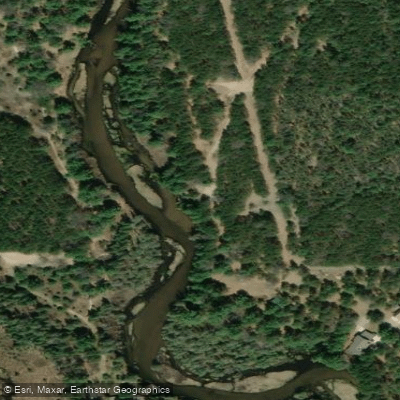
Fishing Access Site
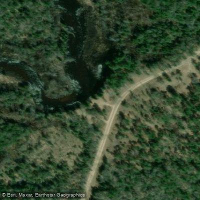
Dutch John Road Access
Paddle smarter with real-time insights
Whether you're en route and conditions shift or you're looking for the best spot based on current flows, we enable you to make informed decisions on the fly.








Find Places to Paddle

Over 400,000 Places to Paddle
Every user gets free access to launch points, boat ramps, and public property parcels.


Water and weather conditions (10 day forecast)
See the best times to paddle Manistee River and check the forecast before you go.
MANISTEE RIVER NEAR GRAYLING, MI
All Flow Stations
Paddling near Manistee River

Lake Michigan
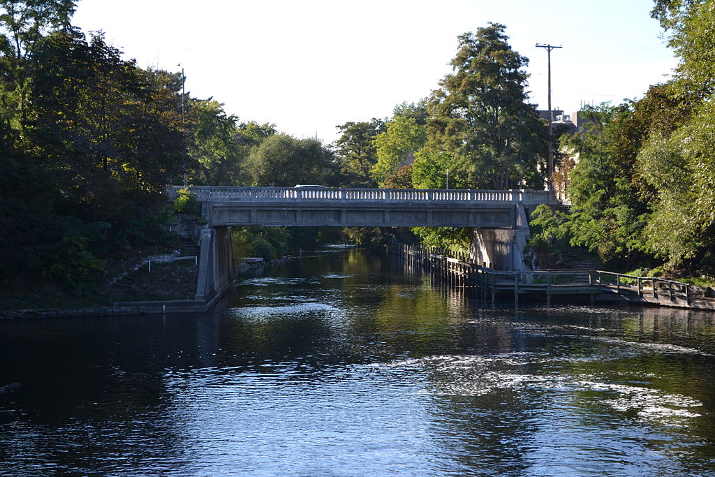
Boardman River
Betsie River
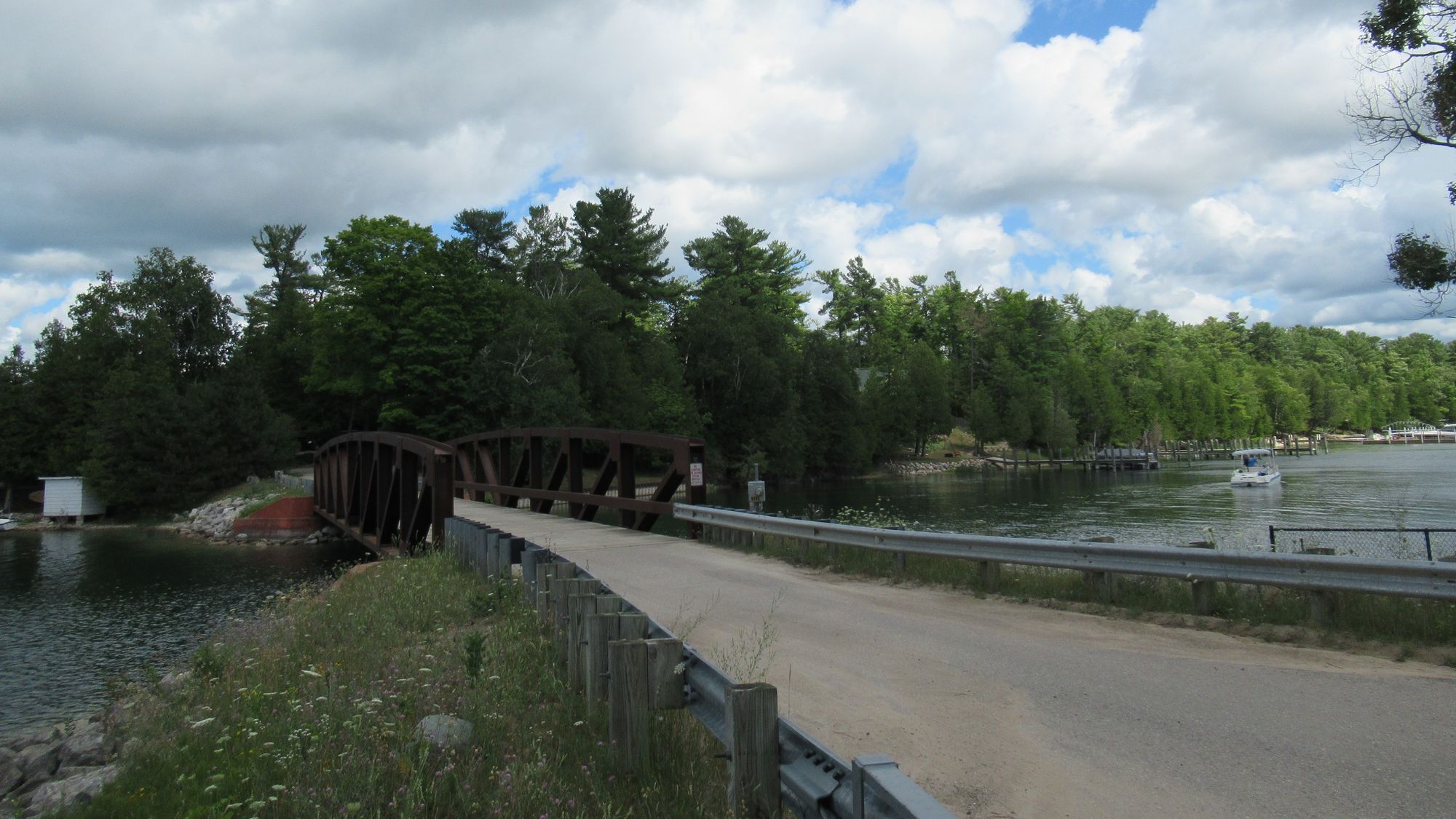
Lake Charlevoix
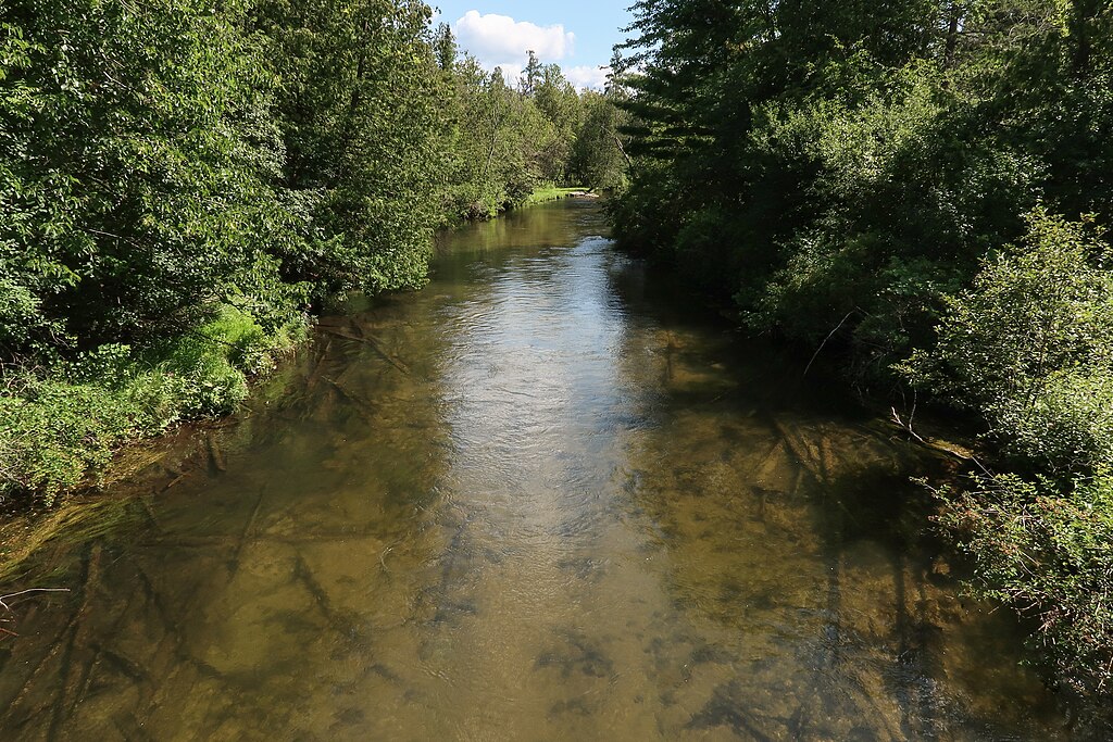
Jordan River
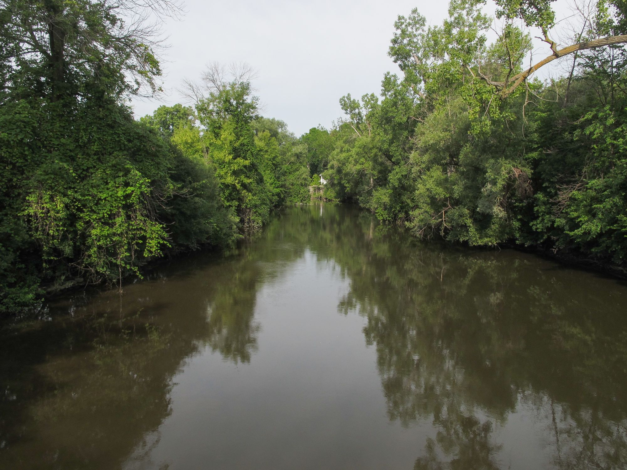
Pine River
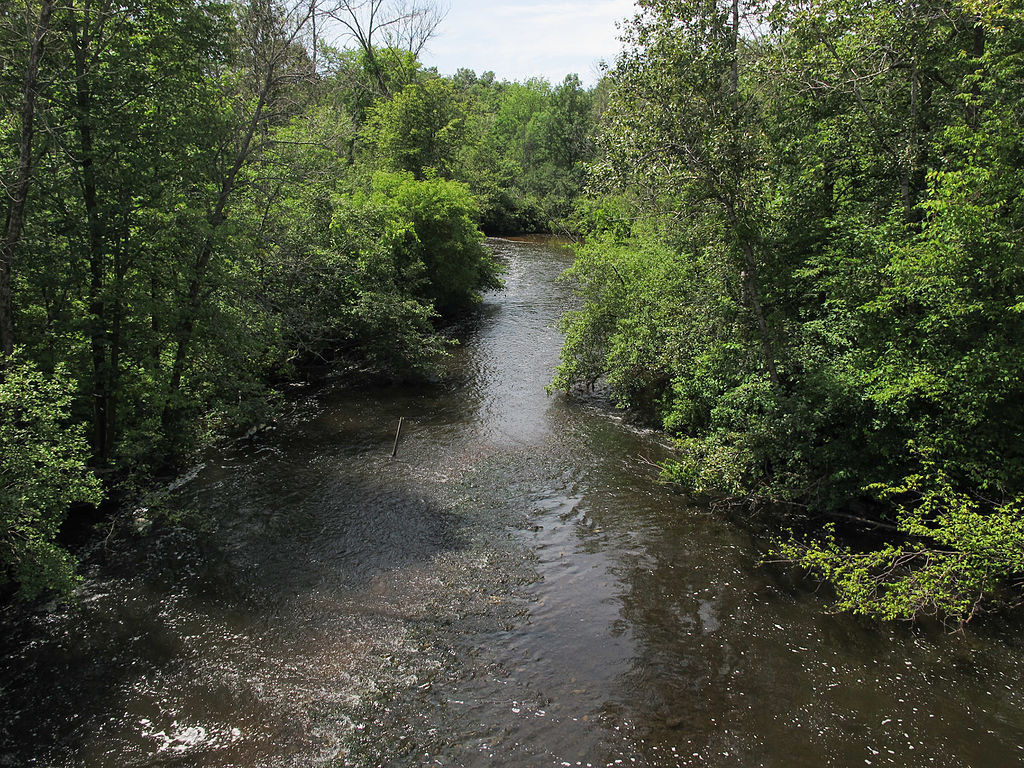
Muskegon River
Lake Leelanau
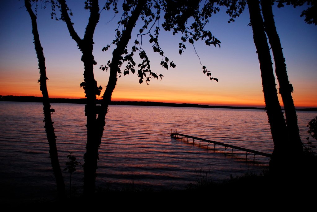
Torch Lake
Explore Michigan waters
Top paddling waters
Popular Cities
Loading popular cities...
Explore near Manistee River
Access points
Nearby waters
More in Michigan

Smarter Paddling Starts in the App.
Paddleways gives you everything you need to plan smarter, paddle better, and own every trip from first launch to takeout.