Chippewa River
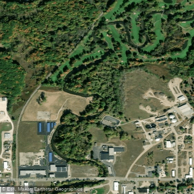
Chippewa River
- Boat Ramps
- 1
- Access Points
- 4
- Campsites
- 0
The Chippewa River flows for 91.8 miles through the central Lower Peninsula of Michigan, originating near Lake Isabella and winding northeast before joining the Tittabawassee River in Midland. This gentle waterway meanders through a diverse landscape of forests, farmland, and small communities, offering paddlers a serene journey through the heart of the state.
The river provides excellent opportunities for canoeing and kayaking, with several popular sections catering to different skill levels and trip durations. The most accessible stretch runs 24 miles from Lake Isabella to Mt. Pleasant, featuring calm waters suitable for beginners and families. More experienced paddlers can tackle longer segments, such as the 15-mile route from Coldwater Road Bridge to Deerfield County Park.
Generally classified as flatwater, the Chippewa River presents few technical challenges, making it ideal for leisurely floats and wildlife observation. However, fallen trees and low water levels in late summer can create occasional obstacles. Spring and early summer typically offer the best paddling conditions, with higher water levels and lush greenery along the banks.
The river corridor supports a rich ecosystem, home to various fish species, waterfowl, and mammals like deer and river otters. Key landmarks include Deerfield Nature Park, a popular camping spot for overnight trips, and the urban stretch through Mt. Pleasant, where paddlers can explore Island Park and Nelson Park. The river's gentle current allows for easy upstream and downstream travel in this area.
Multiple access points dot the river's course, with notable put-ins at Majeske Landing, Winn Road, and Chipp-A-Waters Park in Mt. Pleasant. Local outfitters like Chippewa River Outfitters provide rentals and shuttle services for day trips and multi-day adventures.
Historically, the Chippewa River played a crucial role in the region's logging industry and served as an important transportation route for indigenous peoples. Today, it remains a vital recreational resource and natural corridor, connecting communities and offering a peaceful escape into Michigan's picturesque landscapes.
Safety considerations include checking water levels before trips, especially during dry periods, and being aware of occasional log jams. Paddlers should also respect private property along the banks and follow Leave No Trace principles to preserve the river's natural beauty.
For those seeking an extended adventure, the Chippewa River Water Trail offers opportunities for multi-day trips, with camping available at designated sites like Deerfield County Park. These longer journeys allow paddlers to fully immerse themselves in the tranquil rhythm of this quintessential Michigan waterway.
Water access, boat ramps & amenities
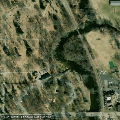
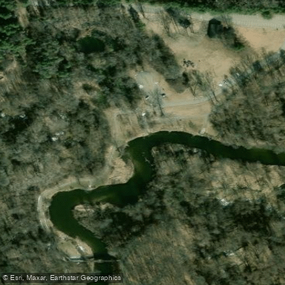
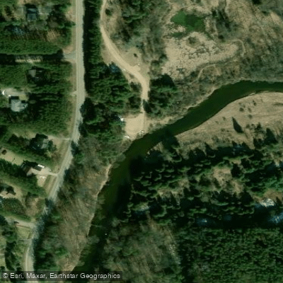
Learn how to get on Chippewa River. Uncover great paddling access points, boat ramps, and all the facilities you need for an unforgettable day on the water. Some locations shown may border or include private property. Always check property boundaries and applicable regulations before visiting. PaddleWays's Public & Private Land layer can help you plan your access with confidence.
Paddle smarter with real-time insights
Whether you're en route and conditions shift or you're looking for the best spot based on current flows, we enable you to make informed decisions on the fly.








Find Places to Paddle

Over 400,000 Places to Paddle
Every user gets free access to launch points, boat ramps, and public property parcels.


Water and weather conditions (10 day forecast)
See the best times to paddle Chippewa River and check the forecast before you go.
CHIPPEWA RIVER NEAR MOUNT PLEASANT, MI
All Flow Stations
Paddling near Chippewa River
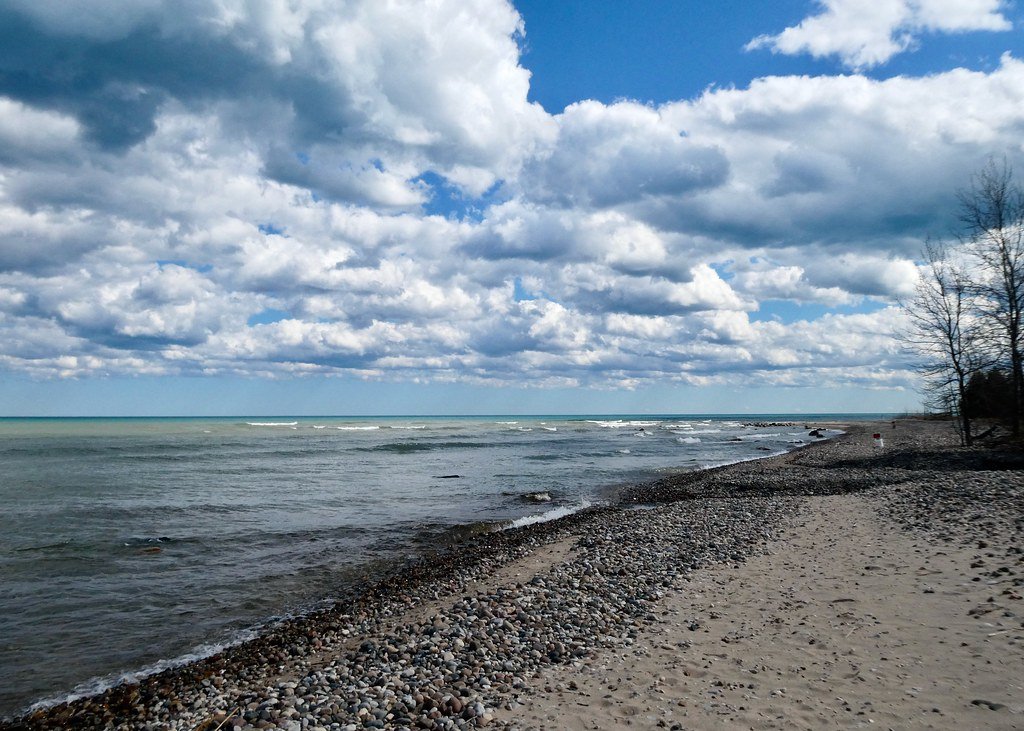
Lake Huron
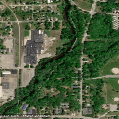
Flat River
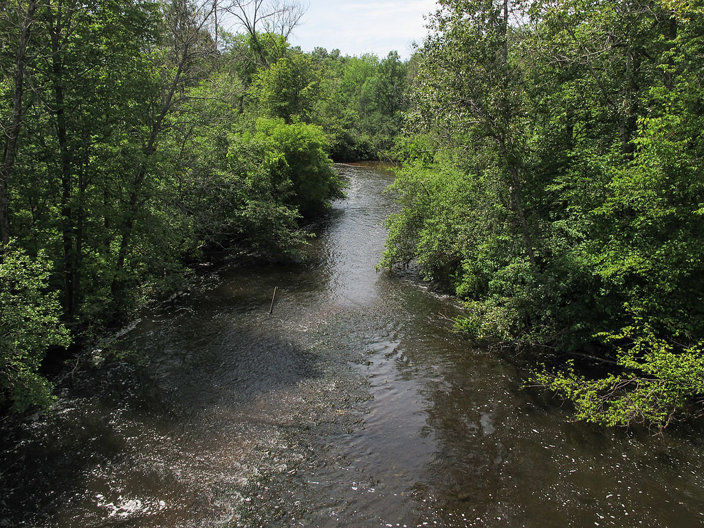
Muskegon River
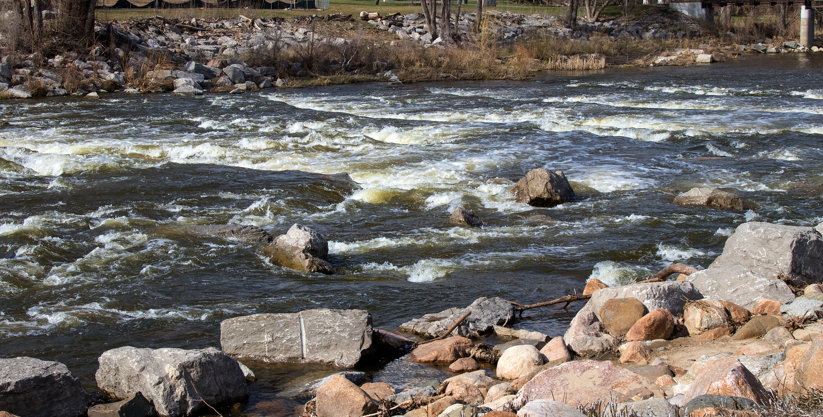
Shiawassee River
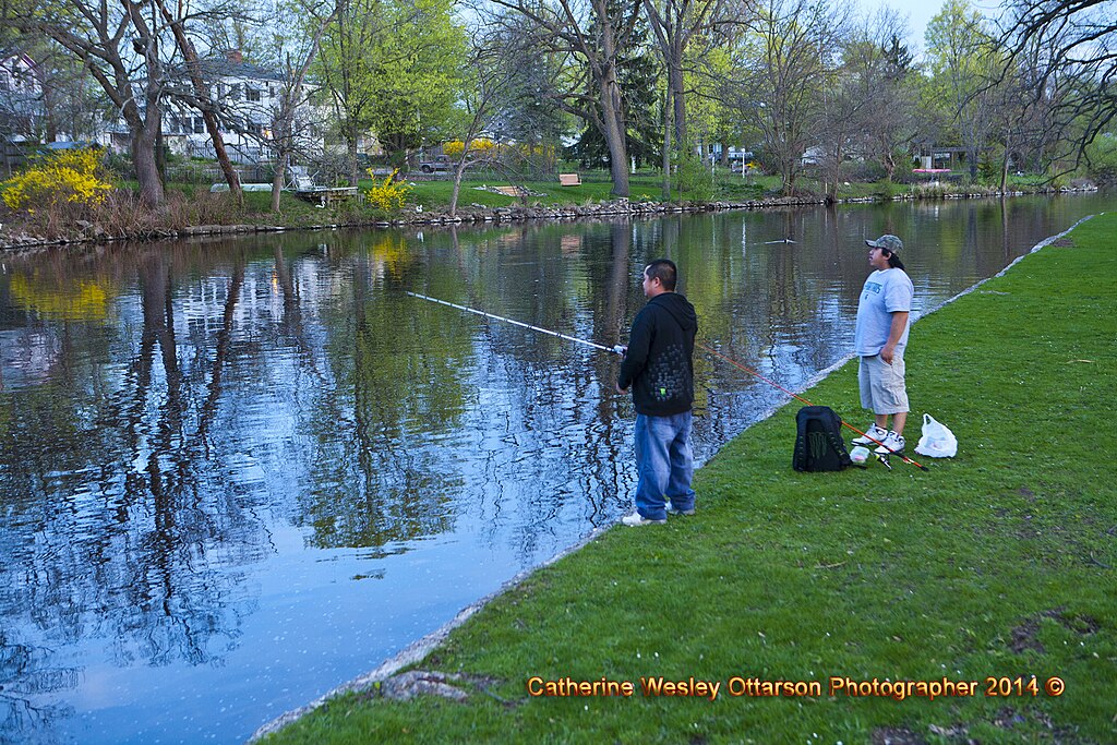
Grand River
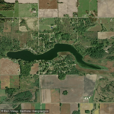
Stevenson Lake
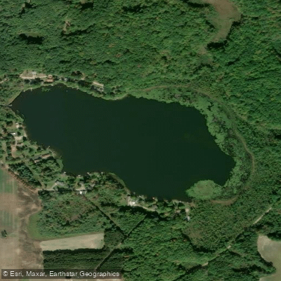
Halls Lake
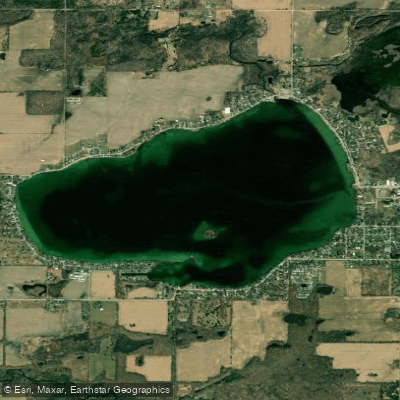
Crystal Lake
Tittabawassee River
Explore Michigan waters
Top paddling waters
Popular Cities
Loading popular cities...
Explore near Chippewa River
Access points
Nearby waters
More in Michigan

Smarter Paddling Starts in the App.
Paddleways gives you everything you need to plan smarter, paddle better, and own every trip from first launch to takeout.