Shiawassee River
Shiawassee River
- Boat Ramps
- 17
- Access Points
- 23
- Campsites
- 7
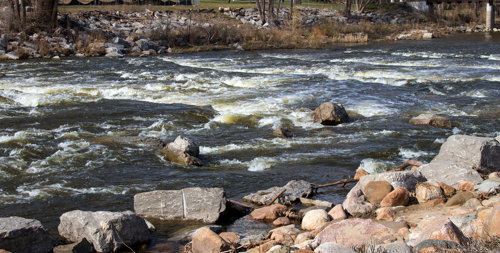
The Shiawassee River is a significant waterway in central Michigan, originating near Holly and flowing northwest for 88 miles before joining the Tittabawassee River to form the Saginaw River. This warm-water river ecosystem offers diverse paddling experiences suitable for a range of skill levels, from families in canoes to more experienced kayakers. The river's journey takes it through a mix of environments, from scenic woodlands to rural residential areas and historic towns. Major sections include the upper reaches from Holly to Fenton, the middle stretches through Linden and Durand, and the lower portions passing Owosso and Chesaning. The river widens as it progresses, with some sections featuring small lakes and impoundments.
Paddling difficulty ranges from flatwater to intermediate, with most sections suitable for beginners. The river's generally slow current and lack of major rapids make it an excellent choice for novice paddlers, though some areas may require basic maneuvering skills to navigate around bends and occasional obstacles. Spring and early summer typically offer the best water levels for paddling, though the Shiawassee can be enjoyed throughout the warmer months. Fall colors provide a spectacular backdrop for autumn trips. Paddlers should be aware that water levels can fluctuate, potentially creating shallow spots in late summer.
The river corridor supports a rich ecosystem, home to various fish species, waterfowl, and riverside wildlife. Paddlers may encounter great blue herons, bald eagles, and numerous songbirds. The shoreline features a mix of hardwood forests, wetlands, and open fields. Notable landmarks include the historic downtowns of Fenton and Linden, the scenic Lake Ponemah, and several parks and nature areas along the route. The river passes by or near several dams, most of which have been modified or removed to improve river connectivity and paddler safety.
Key access points include Bush Park in Fenton, Walnut Hills Campground near Byron, Shiatown County Park, and Cole Park in Chesaning. These and other launches allow for trips of varying lengths, from short 2-3 hour paddles to full-day excursions.
The Shiawassee River holds significant historical importance, having served as a transportation route for indigenous peoples and early settlers. Today, it's a valued recreational resource and the focus of conservation efforts to preserve its natural and cultural heritage.
Safety considerations include checking water levels before trips, being aware of occasional low-head dams, and carrying appropriate safety gear. A white light is required for paddling during low light conditions. Multi-day trips are possible by combining sections, with camping available at select locations along the route.
The Shiawassee River Water Trail, a collaborative effort to promote and protect the river, provides resources for paddlers including detailed maps and trip planning information. This initiative has helped establish the Shiawassee as a premier paddling destination in Michigan, offering a blend of natural beauty, historical interest, and accessible adventure.
Water access, boat ramps & amenities
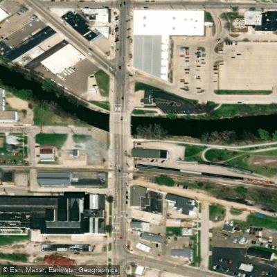
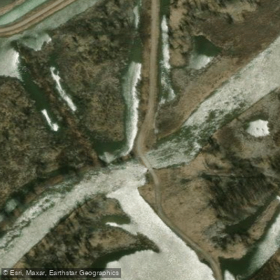
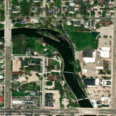
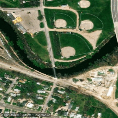
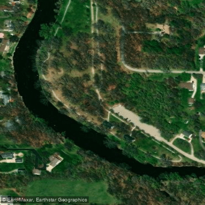
Learn how to get on Shiawassee River. Uncover great paddling access points, boat ramps, and all the facilities you need for an unforgettable day on the water. Some locations shown may border or include private property. Always check property boundaries and applicable regulations before visiting. PaddleWays's Public & Private Land layer can help you plan your access with confidence.
Paddle smarter with real-time insights
Whether you're en route and conditions shift or you're looking for the best spot based on current flows, we enable you to make informed decisions on the fly.








Find Places to Paddle

Over 400,000 Places to Paddle
Every user gets free access to launch points, boat ramps, and public property parcels.


Water and weather conditions (10 day forecast)
See the best times to paddle Shiawassee River and check the forecast before you go.
SHIAWASSEE RIVER NEAR FERGUS, MI
All Flow Stations
Paddling near Shiawassee River
Lake Huron
Huron River
Grand River
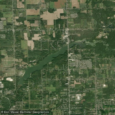
C S Mott Lake
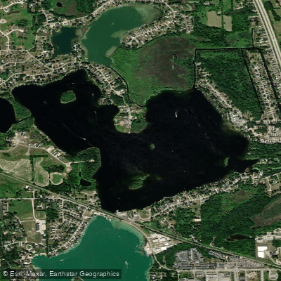
Lake Ponemah
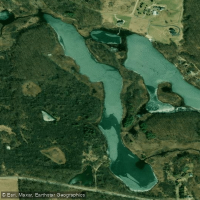
Crotched Lake
Silver Lake
Nepessing Lake
Holloway Reservoir
Explore Michigan waters
Top paddling waters
Popular Cities
Loading popular cities...
Explore near Shiawassee River
Access points
- Linden Mill Pond Gazebo Boat Ramp
- Chippewa Trail Boat Ramp
- Curwood Park Boat Ramp
- McCurdy Park Boat Launch
- Harmon Partridge City Park Boat Ramp
- Lytle Boat Ramp
- Vernon Boat Ramp
- Ditch Road Boat Ramp
- Cole Park Boat Ramp
- Shiatown County Park Boat Ramp
- Henderson County Park Boat Ramp
- Showboat Park Boat Ramp
- All 129 spots
Nearby waters
More in Michigan

Smarter Paddling Starts in the App.
Paddleways gives you everything you need to plan smarter, paddle better, and own every trip from first launch to takeout.