Jordan River
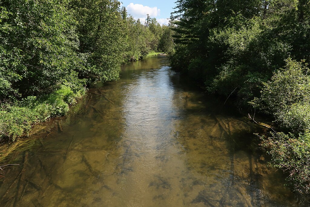
Jordan River
- Boat Ramps
- 9
- Access Points
- 12
- Campsites
- 4
The Jordan River originates in the highlands of northwestern Antrim County, flowing approximately 33 miles before emptying into the South Arm of Lake Charlevoix at the village of East Jordan in Charlevoix County. This spring-fed waterway cuts through the Jordan River Valley, descending from elevations around 1,190 feet at its headwaters to 590 feet at its mouth. The river was designated Michigan's first Natural Wild and Scenic River in 1972, reflecting its exceptional water quality and largely undeveloped character.
The Jordan's upper reaches flow through dense cedar swamps and tamarack lowlands within the Mackinaw State Forest, characterized by numerous beaver meadows, fallen cedars, and undercut banks. The mainstream is formed by the confluence of multiple spring-fed tributaries, with the Green River and Deer Creek serving as major contributors. The river maintains remarkably cold temperatures year-round, rarely exceeding 60°F even in summer, due to its groundwater-fed nature.
Paddling opportunities span from Graves Crossing downstream to Rogers Road Bridge, covering approximately 20 miles of navigable water. The upper section from Graves Crossing to Old State Road (Chestonia Bridge) presents the most challenging conditions—narrow channels averaging 4-40 feet wide, swift current with drops averaging 5 feet per mile, tight bends, and numerous obstacles including logjams and overhanging branches. This advanced section requires strong maneuvering skills and is virtually impassable during low water. The middle section from Old State Road to Rogers Road widens considerably to approximately 60 feet, with moderate current and fewer obstacles, suitable for intermediate paddlers. The final stretch from Webster Bridge to Rogers Road offers the most accessible experience for novices, with wider channels and gentler current. Below Rogers Road, the river slows dramatically as it approaches Lake Charlevoix.
May through September provides optimal paddling conditions, with spring runoff creating higher water levels ideal for navigating the technical upper sections. Summer offers the most reliable flows, while autumn brings spectacular color to the hardwood-forested valley. Winter ice fishing attracts anglers to the lower river.
The Jordan supports exceptional brook trout populations in its headwaters, with brown trout and steelhead runs dominating the lower reaches. White-tailed deer, beaver, river otter, mink, and numerous bird species including herons inhabit the riparian corridor. The valley's northern hardwoods—maple, basswood, beech—transition to lowland conifers along the water's edge.
Access points include Graves Crossing, Old State Road Bridge, Webster Bridge, and Rogers Road Bridge, all within easy reach of Mancelona (east), Bellaire (south), and East Jordan (north). The Jordan River Fish Hatchery, operated by the U.S. Fish and Wildlife Service, sits along the upper river.
Historically, the Jordan served as a log-driving stream during Michigan's lumber era from 1909-1925. Natural Rivers zoning regulations now protect a 400-foot corridor on each bank, restricting development and preserving the wilderness character. Paddlers should note that motorized watercraft are prohibited upstream from M-32 Bridge, and the swift current combined with cold water temperatures demands proper equipment and skills.
Water access, boat ramps & amenities
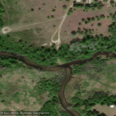
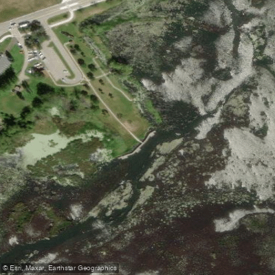
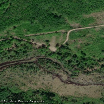
Learn how to get on Jordan River. Uncover great paddling access points, boat ramps, and all the facilities you need for an unforgettable day on the water. Some locations shown may border or include private property. Always check property boundaries and applicable regulations before visiting. PaddleWays's Public & Private Land layer can help you plan your access with confidence.
Paddle smarter with real-time insights
Whether you're en route and conditions shift or you're looking for the best spot based on current flows, we enable you to make informed decisions on the fly.








Find Places to Paddle

Over 400,000 Places to Paddle
Every user gets free access to launch points, boat ramps, and public property parcels.


Water and weather conditions (10 day forecast)
See the best times to paddle Jordan River and check the forecast before you go.
JORDAN RIVER NEAR EAST JORDAN, MI
Paddling near Jordan River

Lake Michigan
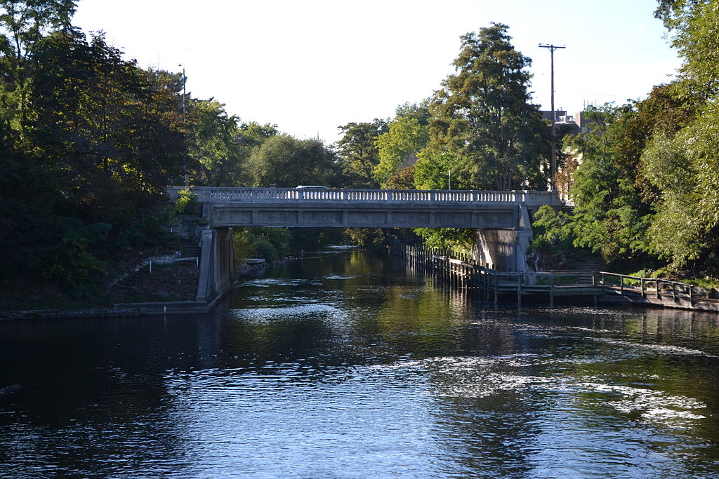
Boardman River
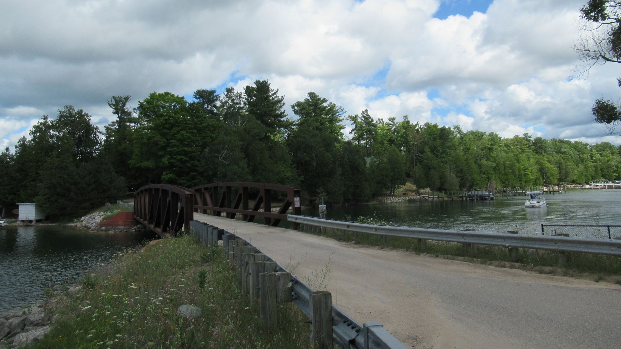
Lake Charlevoix
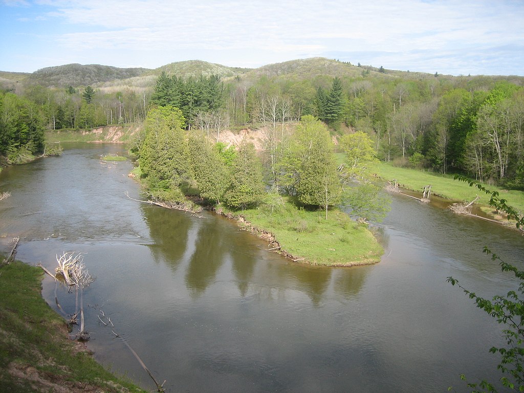
Manistee River
Betsie River
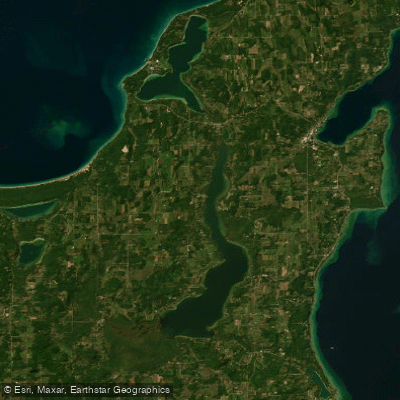
Lake Leelanau
Torch Lake
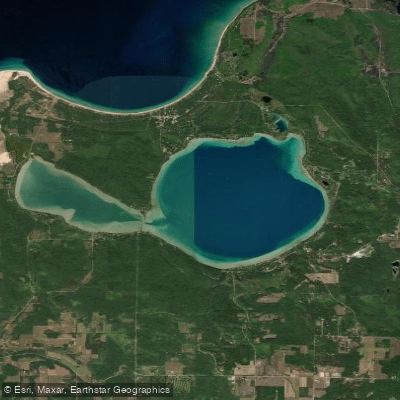
Glen Lake
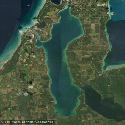
Elk Lake
Explore Michigan waters
Top paddling waters
Popular Cities
Loading popular cities...
Explore near Jordan River
Access points
Nearby waters
More in Michigan

Smarter Paddling Starts in the App.
Paddleways gives you everything you need to plan smarter, paddle better, and own every trip from first launch to takeout.