Torch Lake
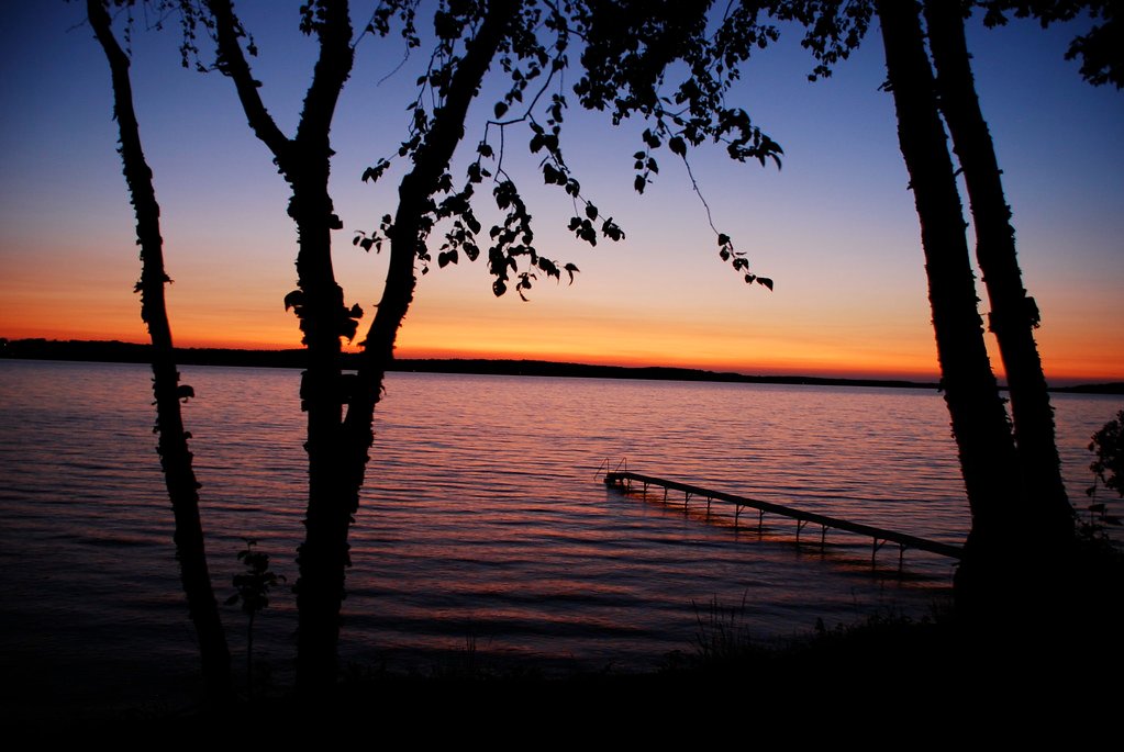
Torch Lake
- Boat Ramps
- 7
- Access Points
- 7
- Campsites
- 0
Torch Lake in Antrim and Kalkaska Counties offers over 19 miles of stunning paddling opportunities on Michigan's second-largest inland lake, renowned for its Caribbean-blue waters and exceptional clarity. As part of the state-designated Chain of Lakes Water Trail, this premier destination features crystal-clear water reaching depths of 300 feet, with visibility that makes it ideal for observing the sandy bottom and aquatic life below.
**Access Points**: The lake features numerous public access sites managed by various townships and the Michigan DNR. Key locations include the Torch Lake Township Day Park (William K. Good Day Park) on the western shore, Alden Harbor and Valleau Landing on the eastern side, and the popular Torch River Bridge DNR Access at the southern end. The northern access is at Eastport. Additional access points line the 150-mile shoreline, though many smaller sites have limited parking. The famous sandbar at the south end near Torch River is accessible primarily by boat.
**Character and Experience**: Paddling conditions vary significantly by location and skill level. The southern sandbar area is extremely popular during summer weekends and can be crowded. The lake's large size means paddlers should expect motorized boat traffic, particularly in peak season. Wind can create challenging waves on this open water, making this an intermediate to advanced paddling destination. The interconnected Torch River and Clam River offer calmer alternatives with gentler currents and exceptional wildlife viewing opportunities.
**Scenery and Wildlife**: The turquoise waters provide spectacular underwater views ideal for snorkeling. Paddlers may encounter loons (keep 50-100 feet distance), eagles, kingfishers, and various waterfowl. The Grass River connection features protected natural areas with abundant birdlife. The lake's glacial origins and limestone sediments create its signature blue color, earning it the nickname "Caribbean of the North."
**Hazards**: Strong currents exist where Clam River flows into Torch Lake. Boaters should stay within channel markers to avoid submerged boulders. The lake's size and exposure to wind require weather monitoring and appropriate safety equipment.
Water access, boat ramps & amenities
Learn how to get on Torch Lake. Uncover great paddling access points, boat ramps, and all the facilities you need for an unforgettable day on the water. Some locations shown may border or include private property. Always check property boundaries and applicable regulations before visiting. PaddleWays's Public & Private Land layer can help you plan your access with confidence.
Paddle smarter with real-time insights
Whether you're en route and conditions shift or you're looking for the best spot based on current flows, we enable you to make informed decisions on the fly.








Find Places to Paddle

Over 400,000 Places to Paddle
Every user gets free access to launch points, boat ramps, and public property parcels.


Water and weather conditions (10 day forecast)
See the best times to paddle Torch Lake and check the forecast before you go.
TORCH RIVER AT COUNTY ROAD 593 AT TORCH RIVER, MI
All Flow Stations
Paddling near Torch Lake

Lake Michigan
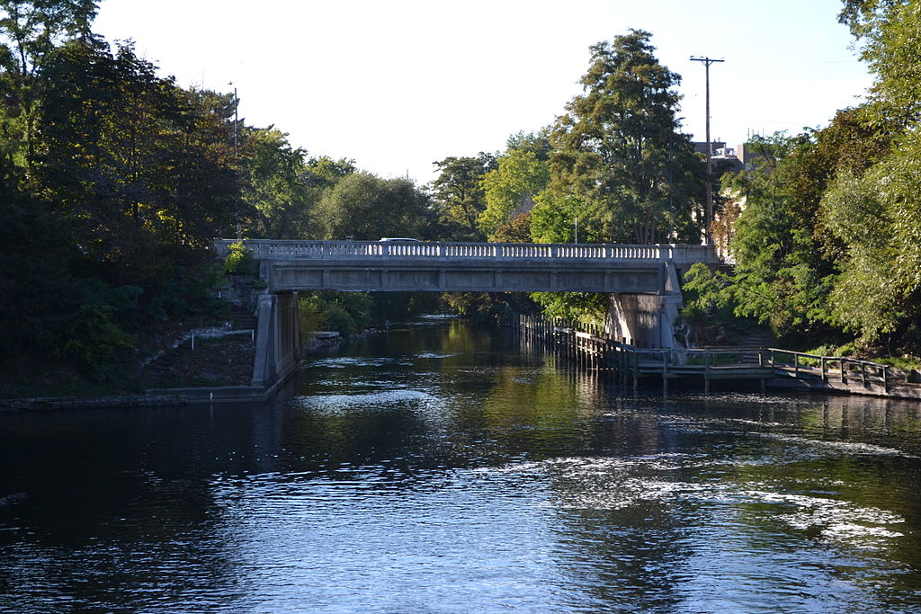
Boardman River
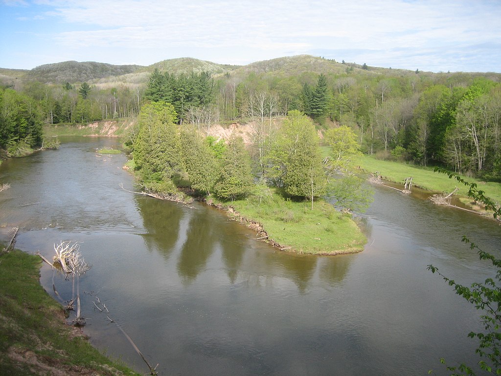
Manistee River
Betsie River
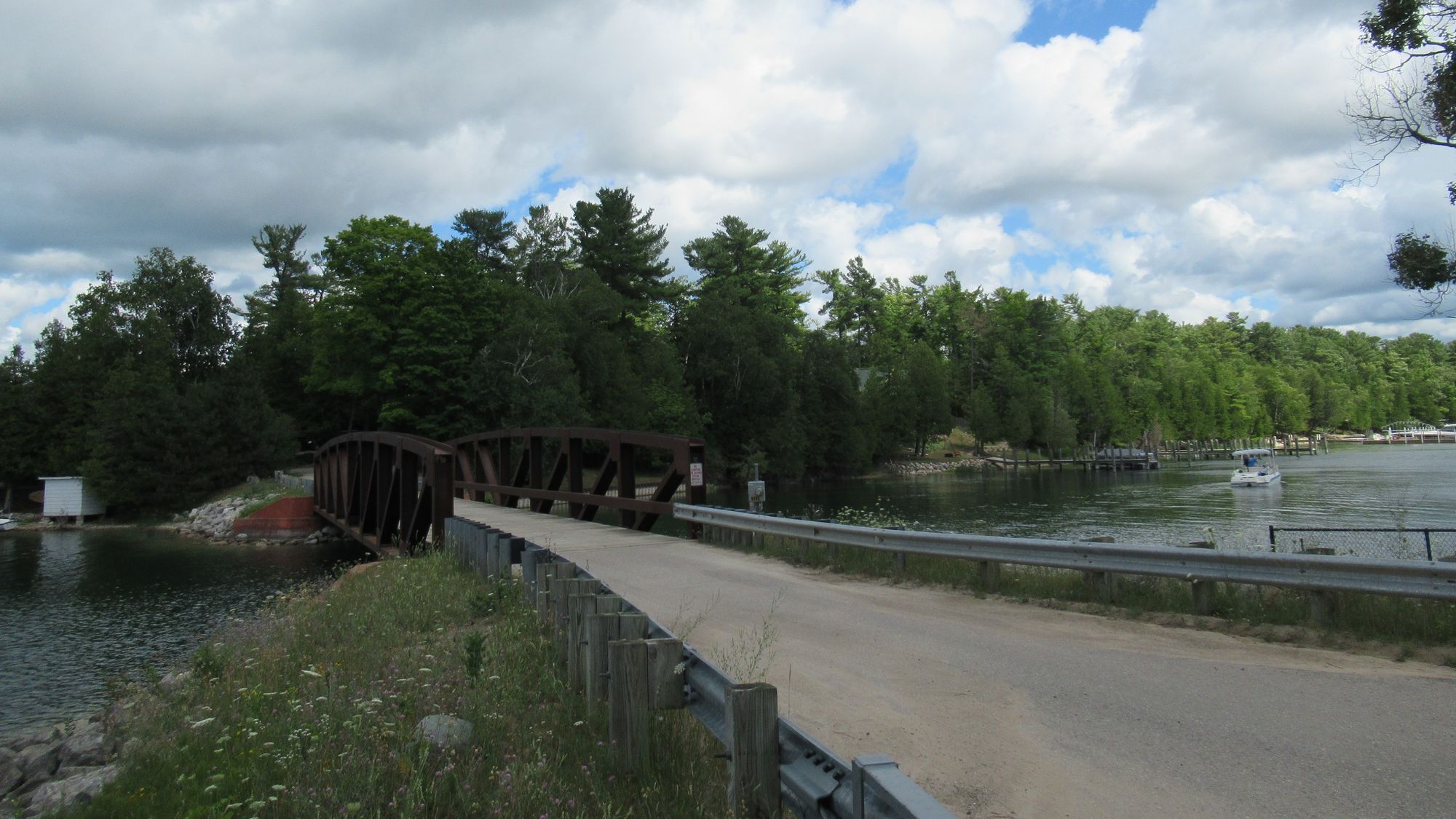
Lake Charlevoix
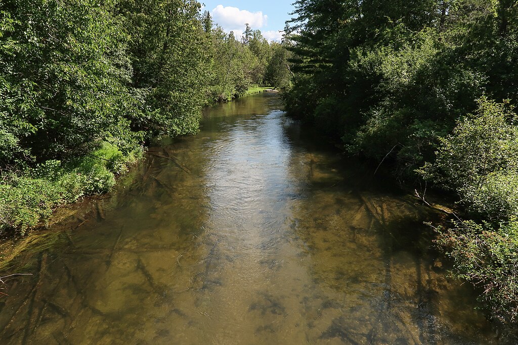
Jordan River
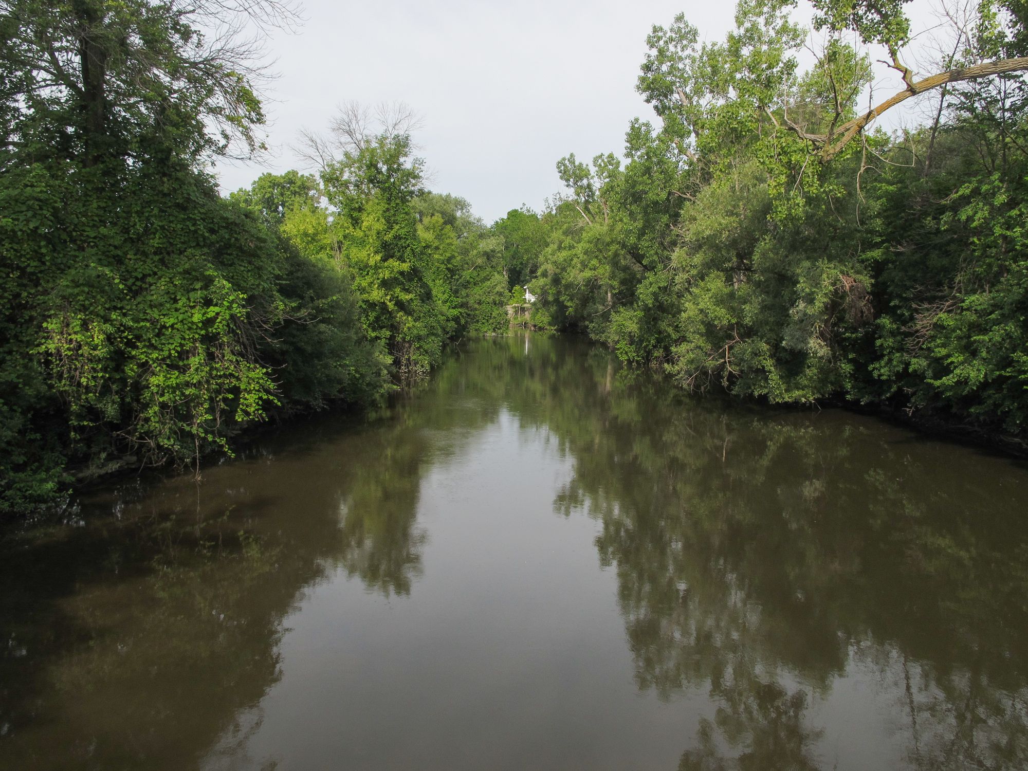
Pine River
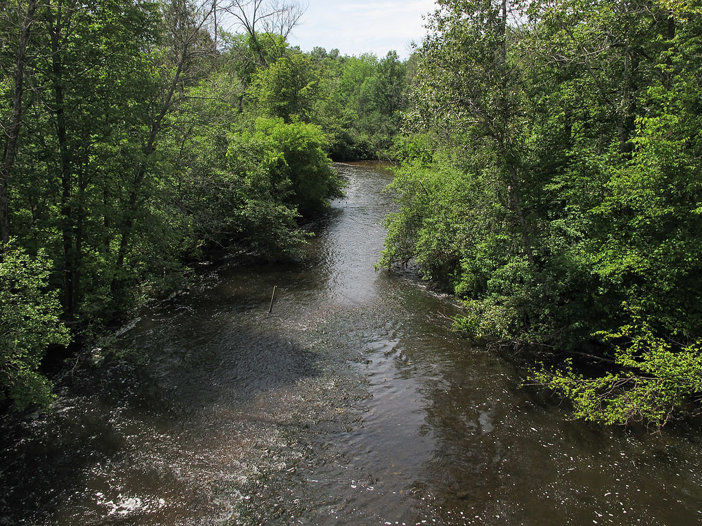
Muskegon River
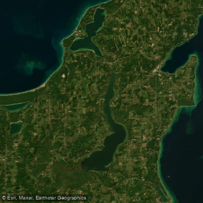
Lake Leelanau
Explore Michigan waters
Top paddling waters
Popular Cities
Loading popular cities...
Explore near Torch Lake
Access points
Nearby waters
More in Michigan

Smarter Paddling Starts in the App.
Paddleways gives you everything you need to plan smarter, paddle better, and own every trip from first launch to takeout.