Little Platte Lake
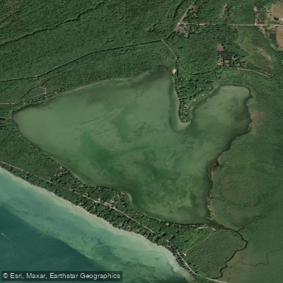
Little Platte Lake
- Boat Ramps
- 2
- Access Points
- 2
- Campsites
- 3
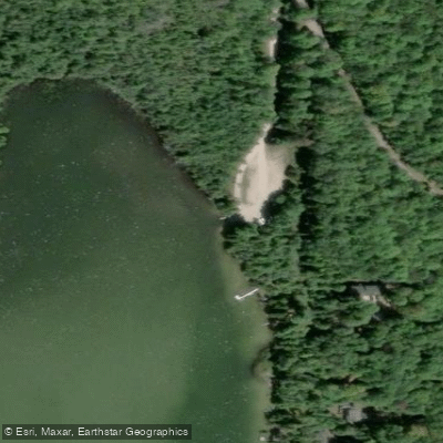
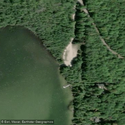
Little Platte Lake in Michigan offers paddlers a unique and challenging experience. The lake is characterized by its shallow waters and varying conditions, from glassy calm to wavy depending on wind patterns. A public access point on the north end provides a sandy launch site with ample parking, pit toilets, and a picnic area.
The lake's western and northern shores feature empty expanses, contrasting with residential areas around other parts of the shoreline. Paddlers can expect a peaceful environment with relatively few power boats, though kayaks, canoes, and occasional fishing boats are present.
Wind can significantly impact paddling conditions on Little Platte Lake. In calm weather, visibility is excellent and the water is tranquil. However, winds can quickly pick up, potentially creating waves over a foot high. These conditions can provide a vigorous workout for experienced paddlers.
For those seeking variety, it's possible to paddle diagonally across the lake and up a short stretch of the Platte River before returning. Deadstream Road bisects Little Platte Lake and neighboring Platte Lake, offering a portage opportunity for paddlers wanting to explore both water bodies. Be aware that Platte Lake is larger, deeper, and experiences more boat traffic and water skiing activity.
A National Parks Permit ($10 for a week) is required for parking lots within the National Park, but not for the Little Platte Lake public access area. The lake's proximity to Sleeping Bear Dunes National Lakeshore makes it an excellent addition to a paddling trip in the region.
Overall, Little Platte Lake provides a peaceful and potentially challenging paddling experience, suitable for those seeking both tranquil waters and the possibility of more demanding conditions.
Water access, boat ramps & amenities
Learn how to get on Little Platte Lake. Uncover great paddling access points, boat ramps, and all the facilities you need for an unforgettable day on the water. Some locations shown may border or include private property. Always check property boundaries and applicable regulations before visiting. PaddleWays's Public & Private Land layer can help you plan your access with confidence.
Paddle smarter with real-time insights
Whether you're en route and conditions shift or you're looking for the best spot based on current flows, we enable you to make informed decisions on the fly.








Find Places to Paddle

Over 400,000 Places to Paddle
Every user gets free access to launch points, boat ramps, and public property parcels.


Water and weather conditions (10 day forecast)
See the best times to paddle Little Platte Lake and check the forecast before you go.
No forecast data available.
Paddling near Little Platte Lake

Lake Michigan
Betsie River
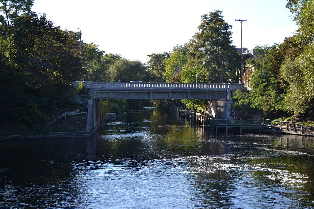
Boardman River
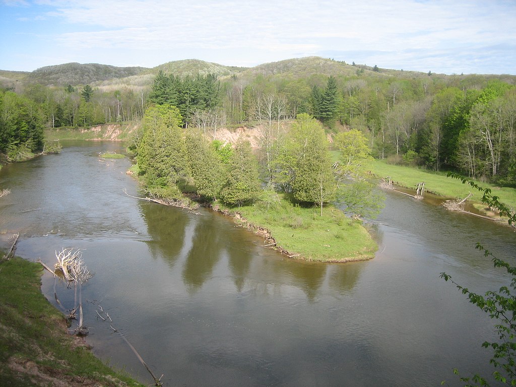
Manistee River
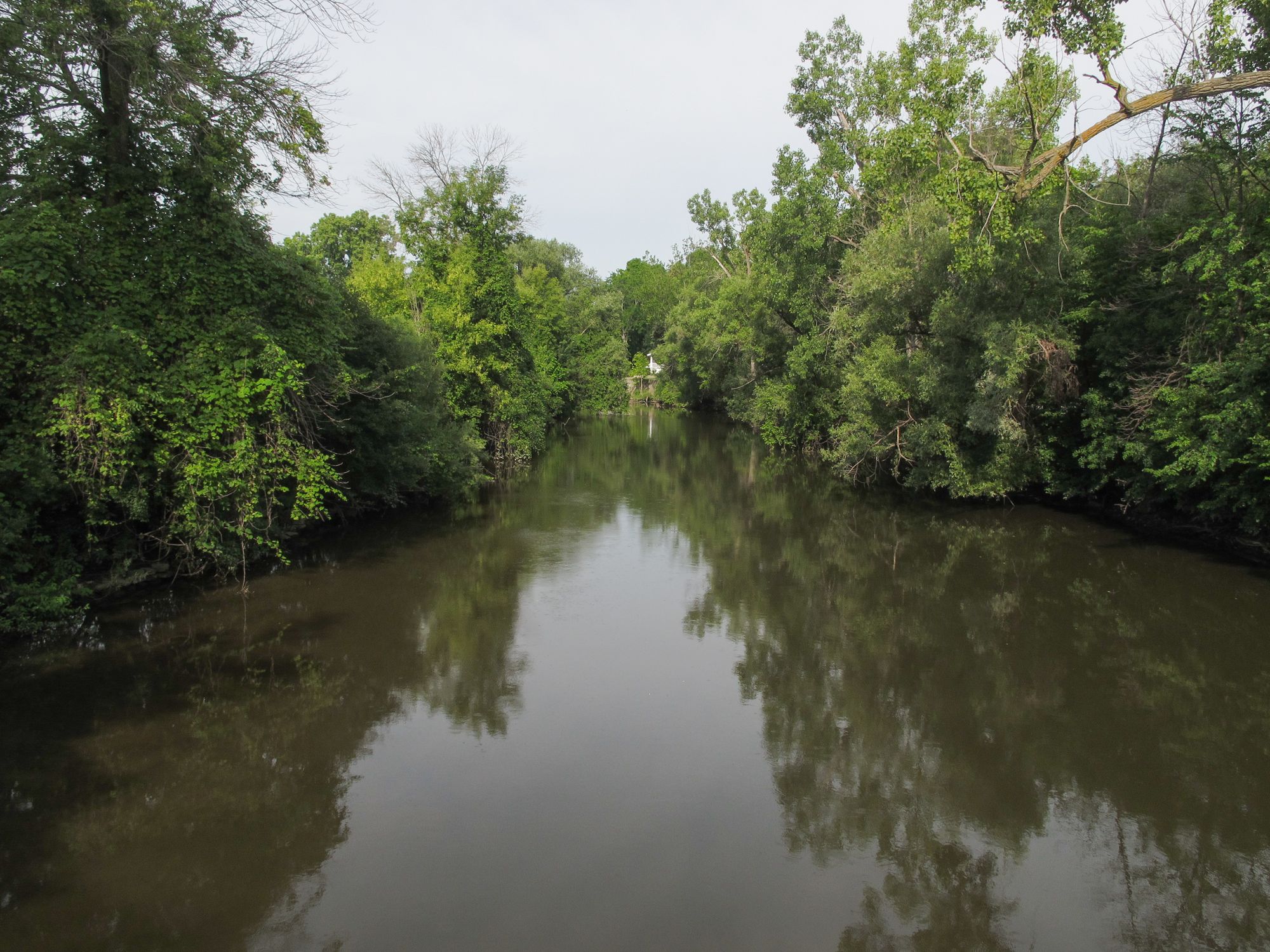
Pine River
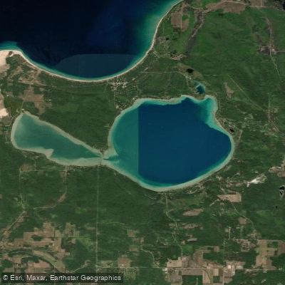
Glen Lake
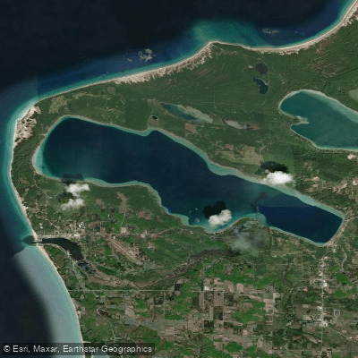
Crystal Lake
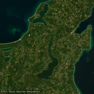
Lake Leelanau
Platte River
Crystal River
Explore Michigan waters
Top paddling waters
Popular Cities
Loading popular cities...
Explore near Little Platte Lake
Access points
Nearby waters
More in Michigan

Smarter Paddling Starts in the App.
Paddleways gives you everything you need to plan smarter, paddle better, and own every trip from first launch to takeout.