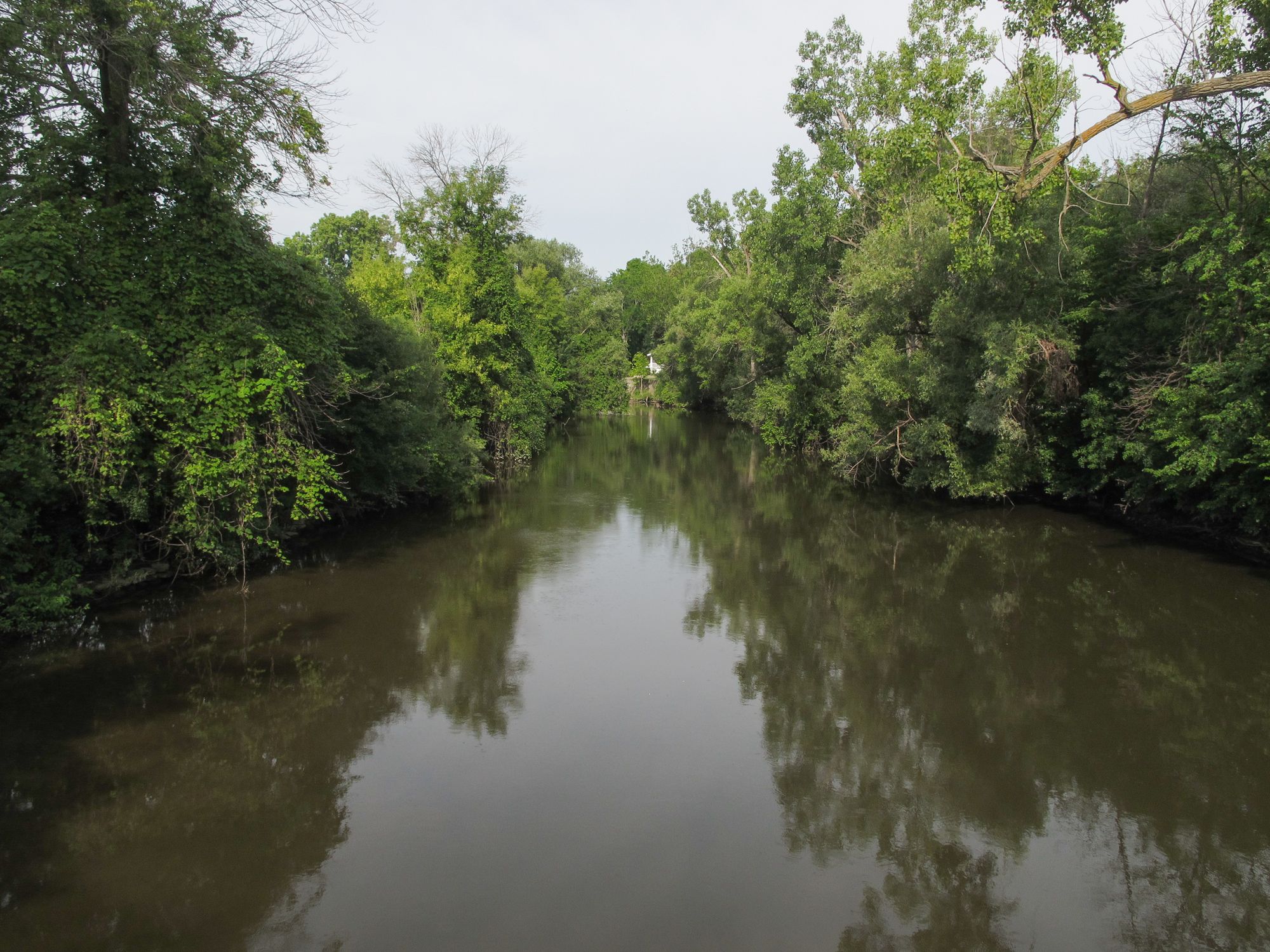
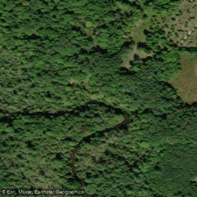
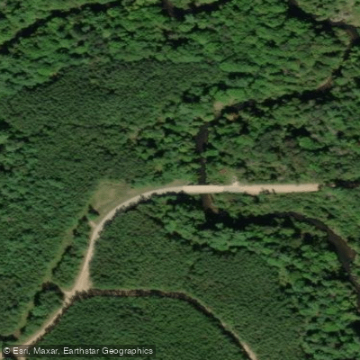
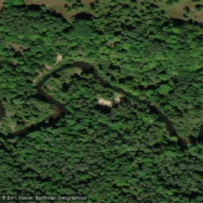
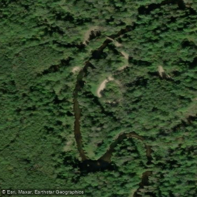
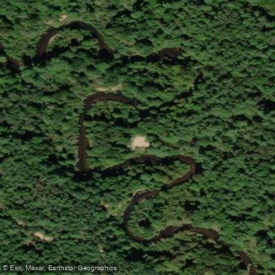
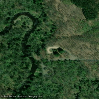
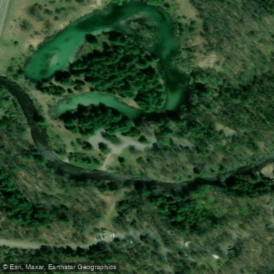
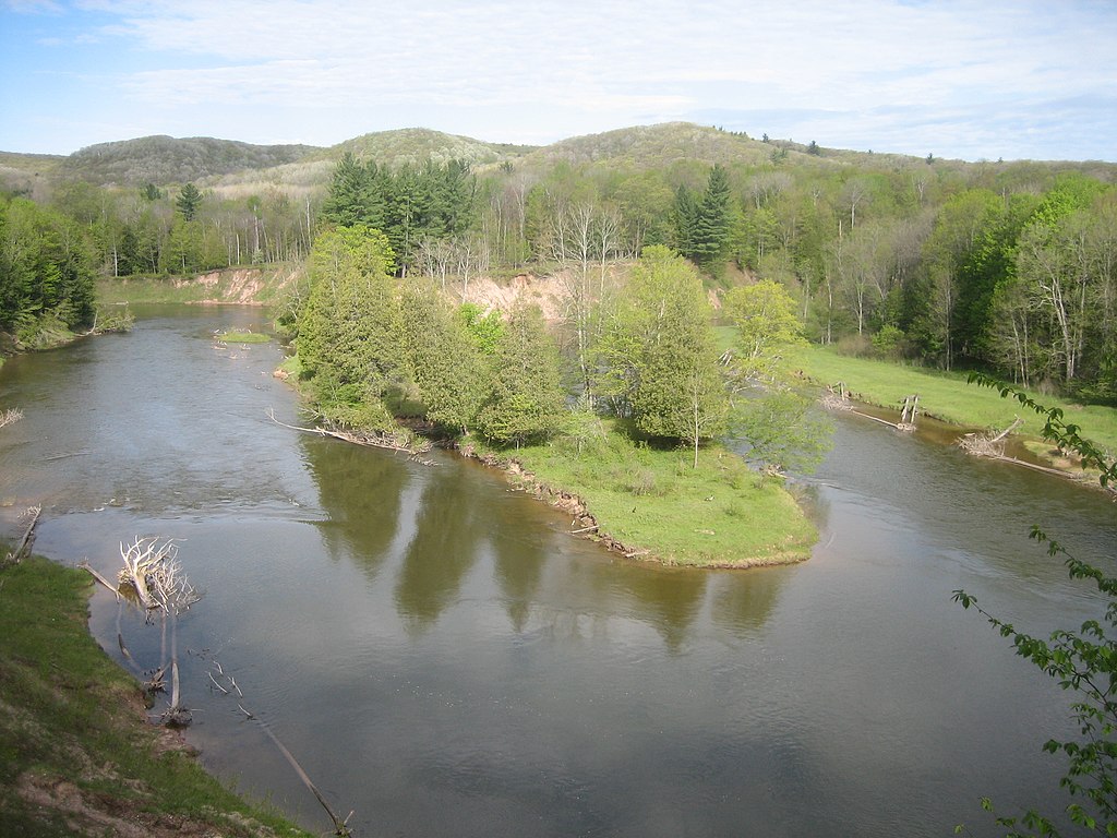
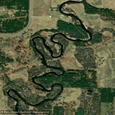
The Pine River originates in northwestern Osceola County near Tustin, formed by the confluence of its North and East branches, and flows approximately 49 miles through Lake, Wexford, and Manistee counties before emptying into Tippy Dam Pond on the Manistee River. This National Wild and Scenic River drops an average of 10-15 feet per mile—the steepest gradient of any river in Michigan's Lower Peninsula—creating the state's fastest-flowing cold-water stream with exceptional trout habitat. The Pine offers roughly 35-40 miles of paddleable water across multiple sections, from the tight, technical upper reaches near Edgetts Bridge through the popular whitewater stretches downstream of Dobson Bridge. The river ranges from 20-40 feet wide in most sections, with depths of 1-4 feet and a moderate to swift current throughout. The most popular segments run from Elm Flats to Low Bridge, passing through the Huron-Manistee National Forest with minimal development and spectacular high sand banks reaching 100 feet in places.
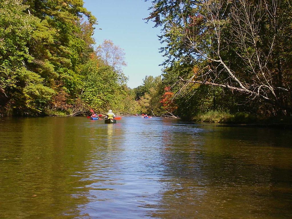
Paddlers should possess intermediate to advanced skills for most sections. The stretch from Peterson Bridge to Low Bridge features Class I-II rapids with choppy waves, tight turns, and occasional sweepers requiring quick maneuvering. Spring flows above 2.0 feet elevate difficulty significantly. The river can rise 1-4 feet during heavy rains, making it more challenging than typical Michigan rivers. Upper sections from Edgetts to Lincoln Bridge offer slightly more forgiving conditions but still demand solid boat control.
The Pine flows coldest among Lower Peninsula rivers, maintaining temperatures at or below 69°F year-round due to substantial groundwater input. The season runs from late April through September 30, with May through early June providing peak flows. July and August offer excellent paddling during the "dog days" when other rivers warm excessively. Weekday trips avoid heavy summer canoe traffic.
The river supports Michigan's largest population of non-migratory rainbow trout alongside brown and brook trout. White-tailed deer, black bear, bald eagles, and wood turtles inhabit the corridor. The forested banks feature white pine, cedar, maple, and oak, with occasional clay ledges exposed in faster sections.
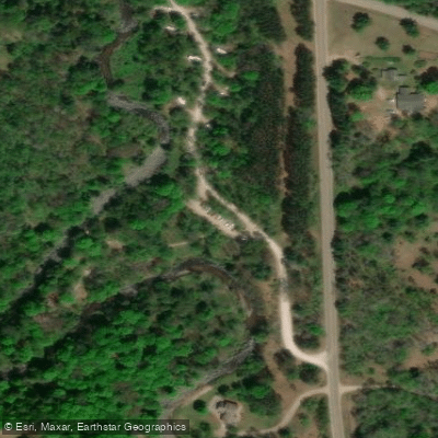
Key access points include Edgetts Bridge (Raymond Road), Meadowbrook Bridge, Walker Bridge (Silver Creek Campground), Lincoln Bridge, Elm Flats, Dobson Bridge, Peterson Bridge (M-37), and Low Bridge (near M-55). Most facilities lie near Wellston and Cadillac in Wexford County, with Luther providing access in Lake County.
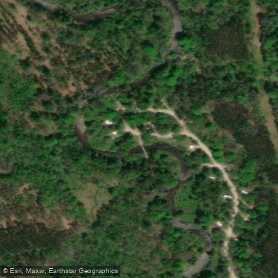
A watercraft permit system limits use between Elm Flats and Low Bridge from Memorial Day through Labor Day, protecting this heavily-used resource. Camping is restricted to designated sites at Silver Creek and Peterson Bridge campgrounds. The staged removal of Stronach Dam (completed 2003) restored two miles of prime habitat. Multi-day trips spanning 2-3 days allow paddlers to experience the Pine's full character, camping at established sites or practicing dispersed camping outside restricted zones.