Miner Lake

Miner Lake
- Boat Ramps
- 2
- Access Points
- 2
- Campsites
- 1
Miner Lake in Allegan County, Michigan is an inland lake that has faced challenges with invasive aquatic plants, particularly Eurasian Milfoil and Starry Stonewort. The lake has undergone professional treatment to manage these invasive species, which could affect paddling conditions in certain areas.
Water quality monitoring data from 2023 shows relatively good transparency, with Secchi disk readings averaging 11.2 feet and ranging from 9.5 to 15.5 feet. The lake is classified as mesotrophic, indicating moderate nutrient levels and generally good water quality. Summer phosphorus levels were measured at 14 parts per billion, suggesting moderate productivity.
The lake supports a mixed-use environment shared with anglers and fishing boats. Some areas feature natural shoreline, though there has been discussion among residents about maintaining more natural versus managed waterfront conditions. The lake has an active lake association (Miner Lake Property Owners Association) that oversees water quality monitoring and lake management activities.
Waters are typically calm enough for recreational paddling, though as with all Michigan lakes, weather conditions should be monitored. State regulations require all paddlers to have a U.S. Coast Guard-approved personal flotation device (PFD) on board. No special permits are required for non-motorized vessels like kayaks and canoes.
For fishing opportunities while paddling, anglers age 17 and older must obtain a Michigan fishing license. The lake is subject to Michigan's standard aquatic invasive species prevention regulations - all boats should be cleaned, drained, and dried when moving between water bodies.
The lake offers public access, but paddlers should check locally about current launch locations and parking before their visit.
Water access, boat ramps & amenities
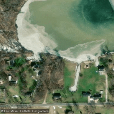
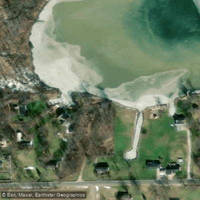
Learn how to get on Miner Lake. Uncover great paddling access points, boat ramps, and all the facilities you need for an unforgettable day on the water. Some locations shown may border or include private property. Always check property boundaries and applicable regulations before visiting. PaddleWays's Public & Private Land layer can help you plan your access with confidence.
Paddle smarter with real-time insights
Whether you're en route and conditions shift or you're looking for the best spot based on current flows, we enable you to make informed decisions on the fly.








Find Places to Paddle

Over 400,000 Places to Paddle
Every user gets free access to launch points, boat ramps, and public property parcels.


Water and weather conditions (10 day forecast)
See the best times to paddle Miner Lake and check the forecast before you go.
No forecast data available.
Paddling near Miner Lake

Lake Michigan
Kalamazoo River
Grand River
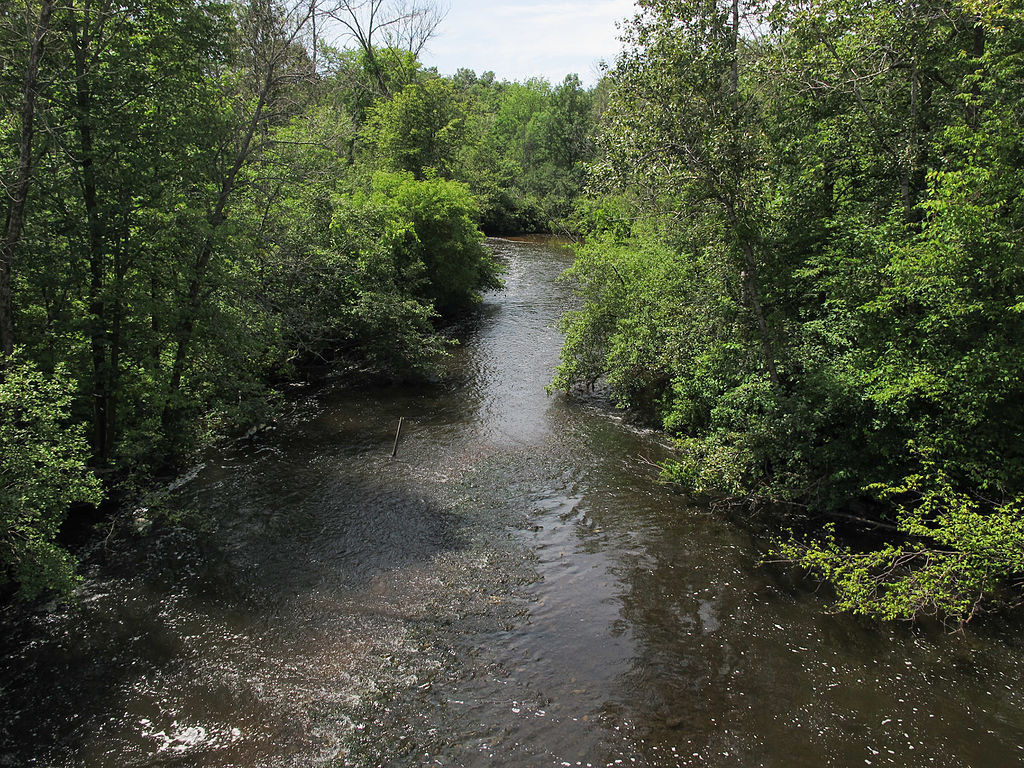
Muskegon River
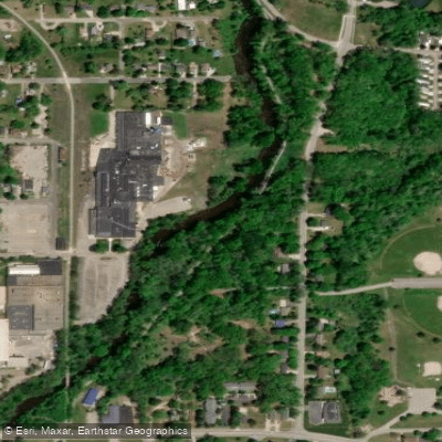
Flat River
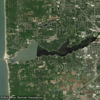
Lake Macatawa
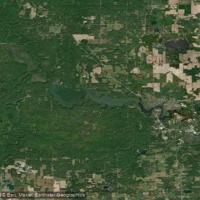
Lake Allegan
Spring Lake
Swan Creek Pond
Explore Michigan waters
Top paddling waters
Popular Cities
Loading popular cities...
Explore near Miner Lake
Access points
Nearby waters
More in Michigan

Smarter Paddling Starts in the App.
Paddleways gives you everything you need to plan smarter, paddle better, and own every trip from first launch to takeout.