Paddling near St. Paul, MN
Set in Ramsey County at the confluence of the Mississippi and Minnesota Rivers, St. Paul anchors one of America's best urban paddling scenes. The Mississippi National River and Recreation Area protects 72 miles of shoreline through the metro, and paddlers can launch from Hidden Falls Park for the 6.5-mile run to Harriet Island, sample quiet city lakes like Lake Phalen, or reach the scenic St. Croix Riverway within an hour.
Top waters to paddle near St. Paul

Mississippi River
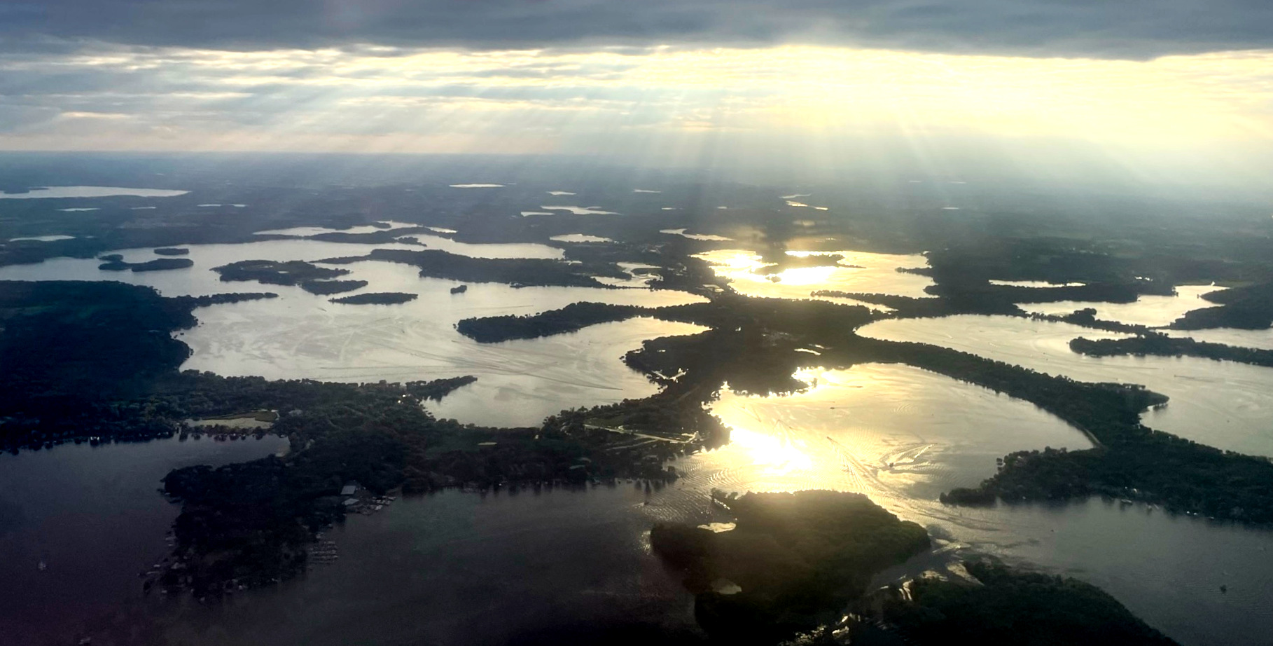
Lake Minnetonka
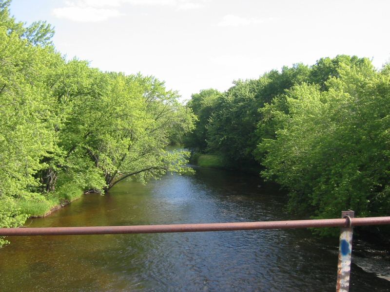
Rum River

Willow River
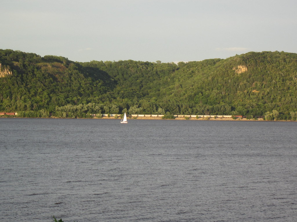
Lake Pepin
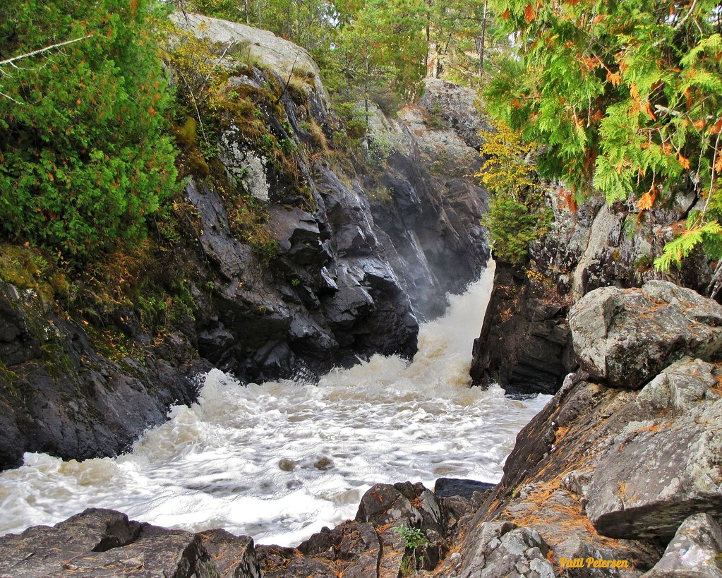
Vermillion River
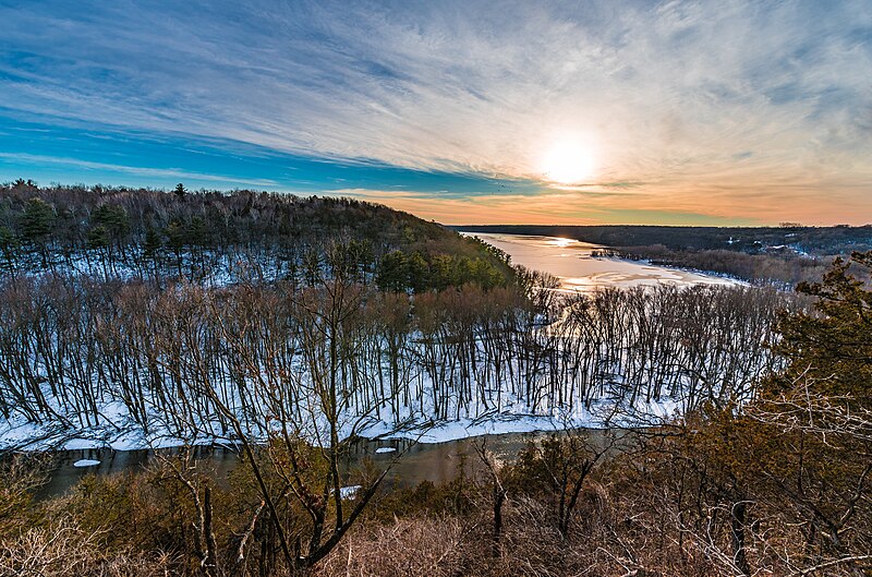
Kinnickinnic River
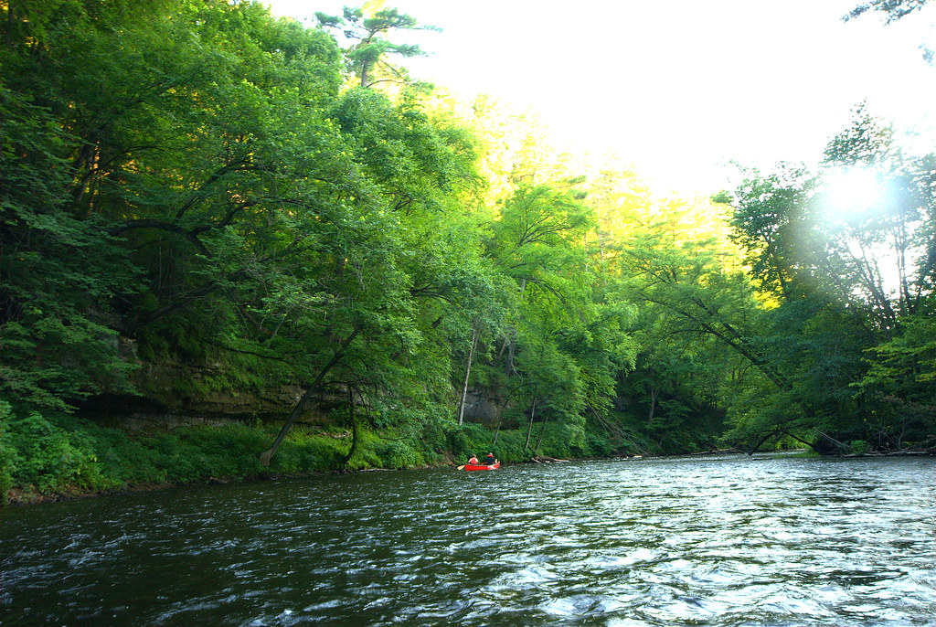
Apple River
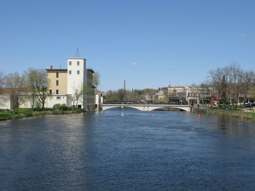
Cannon River
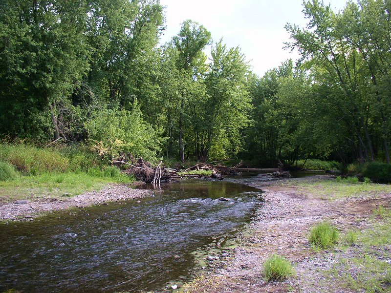
Sunrise River
Paddle smarter with real-time insights
Whether you're en route and conditions shift or you're looking for the best spot based on current flows, we enable you to make informed decisions on the fly.







Minnesota licenses and regulations
Explore St. Paul
Top paddling waters
Loading top waters...
Popular Cities
Loading popular cities...

Smarter Paddling Starts in the App.
Paddleways gives you everything you need to plan smarter, paddle better, and own every trip from first launch to takeout.